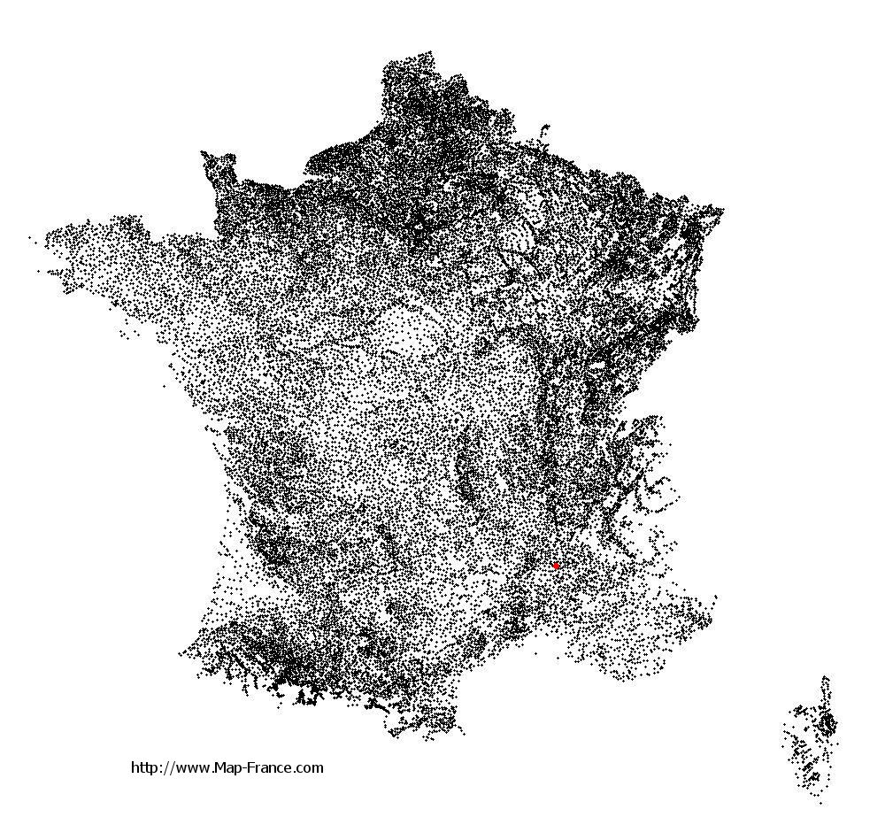
Montboucher-sur-Jabron on the relief France map in Lambert 93 coordinates
|

See the map of Montboucher-sur-Jabron in full screen (1000 x 949)
|
At left, here is the location of Montboucher-sur-Jabron on the relief France map in Lambert 93 coordinates.
Here are the altitudes of Montboucher-sur-Jabron :
- Town hall altitude of Montboucher-sur-Jabron is 150 meters
- Minimum altitude of Montboucher-sur-Jabron is 96 meters
- Maximum altitude of Montboucher-sur-Jabron is 170 meters
- Medium altitude of Montboucher-sur-Jabron is 133 meters
Here are the altitudes of Valence, prefecture of Drôme department:
- Town hall altitude of Valence is 126 meters
- Minimum altitude of Valence is 106 meters
- Maximum altitude of Valence is 191 meters
- Medium altitude of Valence is 149 meters
Here are the altitudes of the french biggest cities:
Paris : 33 meters
Marseille : 20 meters
Lyon : 237 meters
Toulouse : 146 meters
Nice : 10 meters
Nantes : 20 meters
Strasbourg : 144 meters
Montpellier : 35 meters
Bordeaux : 16 meters
Lille : 20 meters
Rennes : 35 meters
Reims : 83 meters
Click here for the terrain map of Montboucher-sur-Jabron in full screen:
Relief map of Montboucher-sur-Jabron
|
This relief map of Montboucher-sur-Jabron is reusable and modifiable by making a link to this page of the Map-France.com website or by using the given code :
|
Terrain base map of Montboucher-sur-Jabron
|

See the terrain base map of Montboucher-sur-Jabron in full screen (1000 x 949)
|
Small relief base map of Montboucher-sur-Jabron

|
This base map of Montboucher-sur-Jabron is reusable and modifiable by making a link to this page of the Map-France.com website or by using the given code :
|
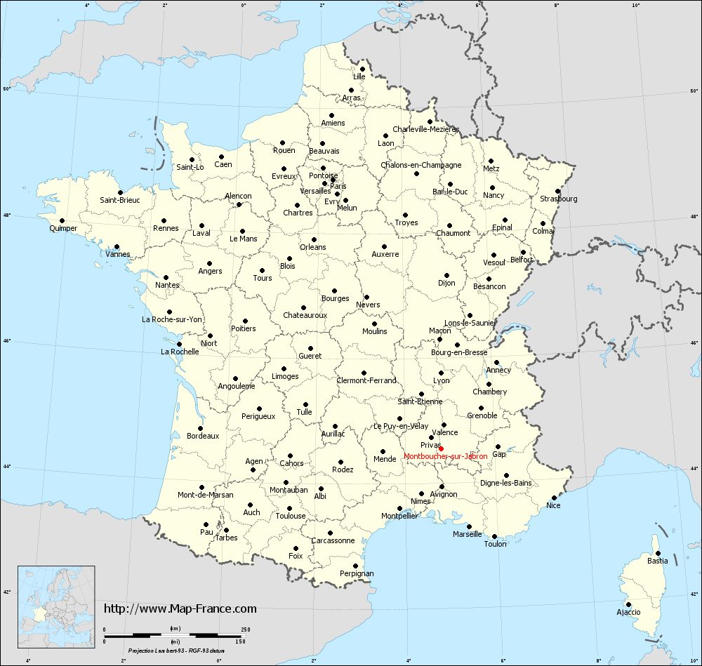
Map of Montboucher-sur-Jabron with regions and prefectures
|
View the map of Montboucher-sur-Jabron in full screen (1000 x 949)
|
You will find the location of Montboucher-sur-Jabron on the map of France of regions in Lambert 93 coordinates. The town of Montboucher-sur-Jabron is located in the department of Drôme of the french region Rhône-Alpes.
Geographical sexagesimal coordinates / GPS (WGS84):
Latitude: 44° 33' 17'' North
Longitude: 04° 48' 31'' East
Geographical decimal coordinates :
Latitude: 44.554 degrees (44.554° North)
Longitude: 4.806 degrees (4.806° East)
Lambert 93 coordinates :
X: 8 436 hectometers
Y: 63 856 hectometers
Lambert 2 coordinates :
X: 7 965 hectometers
Y: 19 535 hectometers
Below, the geographical coordinates of Valence, prefecture of the Drôme department:
Geographical sexagesimal coordinates / GPS (WGS84):
Latitude: 44° 55' 57'' North
Longitude: 04° 53' 27'' East
Geographical decimal coordinates :
Latitude: 44.927 degrees (44.927° North)
Longitude: 4.895 degrees (4.895° East)
Lambert 93 coordinates :
X: 8 492 hectometers
Y: 64 277 hectometers
Lambert 2 coordinates :
X: 8 017 hectometers
Y: 19 957 hectometers
|
This map of Montboucher-sur-Jabron is reusable and modifiable by making a link to this page of the Map-France.com website or by using the given code :
|
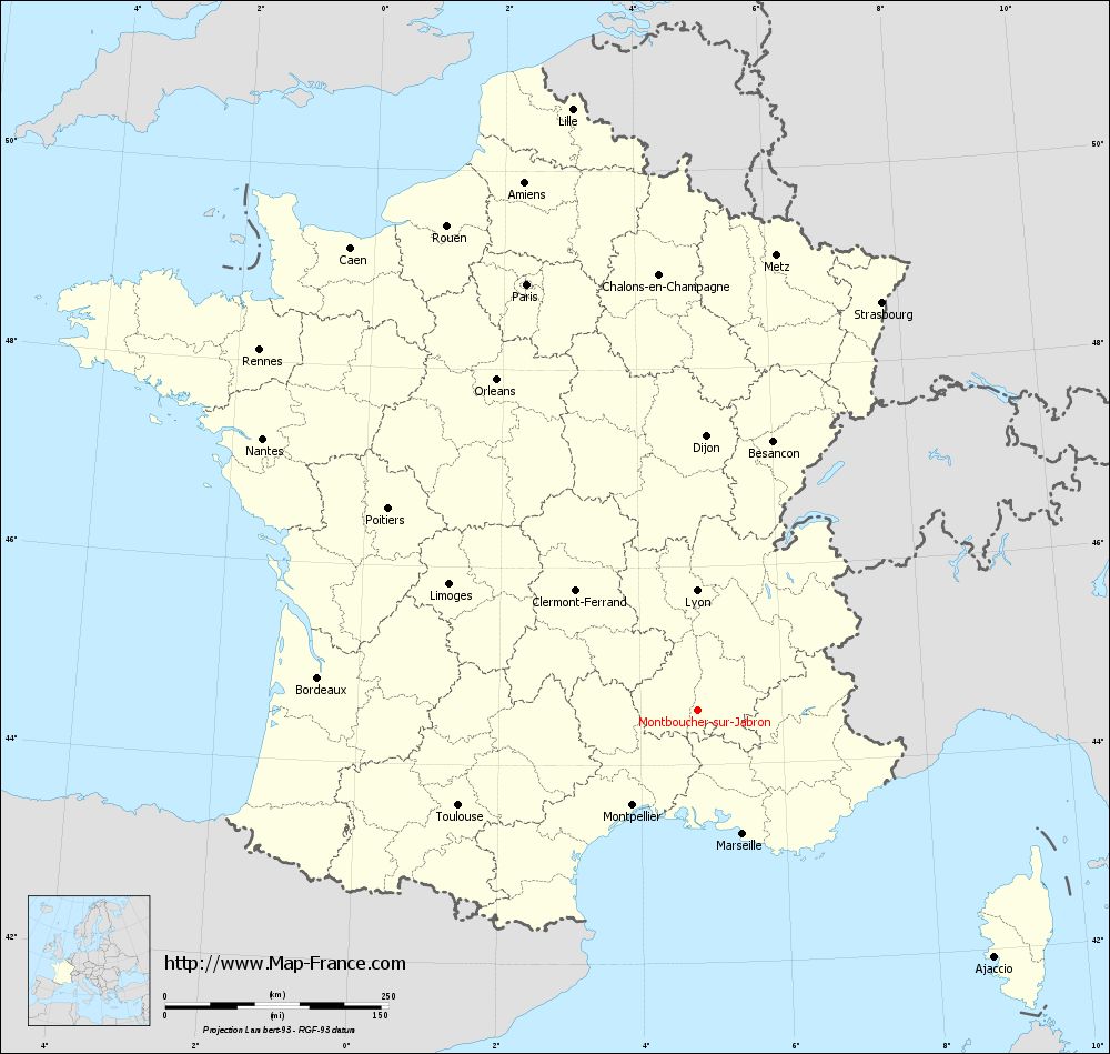
Map of Montboucher-sur-Jabron with departments and prefectures
|
Voir la carte of Montboucher-sur-Jabron en grand format (1000 x 949)
|
Here is the localization of Montboucher-sur-Jabron on the France map of departments in Lambert 93 coordinates. The city of Montboucher-sur-Jabron is shown on the map by a red point.
The town of Montboucher-sur-Jabron is located in the department of Drôme of the french region Rhône-Alpes.
The latitude of Montboucher-sur-Jabron is 44.554 degrees North.
The longitude of Montboucher-sur-Jabron is 4.806 degrees East.
Here the distance between Montboucher-sur-Jabron and the biggest cities of France:
Distances are calculated as the crow flies (orthodromic distance)
Distance between Montboucher-sur-Jabron and Paris : 513.8 kilometers
Distance between Montboucher-sur-Jabron and Marseille : 147.5 kilometers
Distance between Montboucher-sur-Jabron and Lyon : 133.94 kilometers
Distance between Montboucher-sur-Jabron and Toulouse : 288.06 kilometers
Distance between Montboucher-sur-Jabron and Nice : 217.35 kilometers
Distance between Montboucher-sur-Jabron and Nantes : 573.84 kilometers
Distance between Montboucher-sur-Jabron and Strasbourg : 501.15 kilometers
Distance between Montboucher-sur-Jabron and Montpellier : 128.72 kilometers
Distance between Montboucher-sur-Jabron and Bordeaux : 426.11 kilometers
Distance between Montboucher-sur-Jabron and Lille : 687.55 kilometers
Distance between Montboucher-sur-Jabron and Rennes : 634.84 kilometers
Distance between Montboucher-sur-Jabron and Reims : 525.89 kilometers
Clic here to see the map of Montboucher-sur-Jabron in full screen:
Montboucher-sur-Jabron on the map of french departments
|
This administrative map of Montboucher-sur-Jabron is reusable and modifiable by making a link to this page of the Map-France.com website or by using the given code :
|
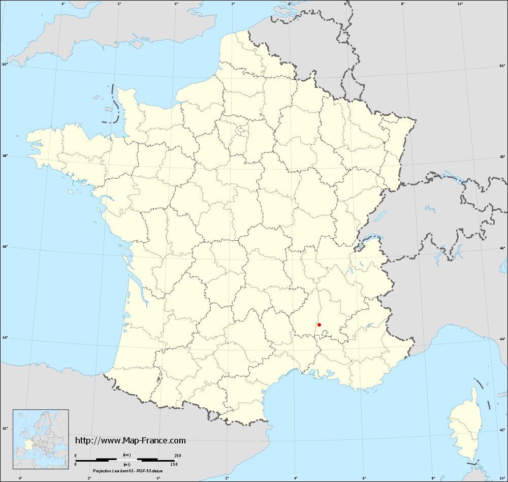
Administrative base maps of Montboucher-sur-Jabron
|
See the administrative base map of Montboucher-sur-Jabron in full screen (1000 x 949)
|
Small administrative base map of Montboucher-sur-Jabron
|
This base map administrative of Montboucher-sur-Jabron is reusable and modifiable by making a link to this page of the Map-France.com website or by using the given code :
|
 French Version : http://www.cartesfrance.fr