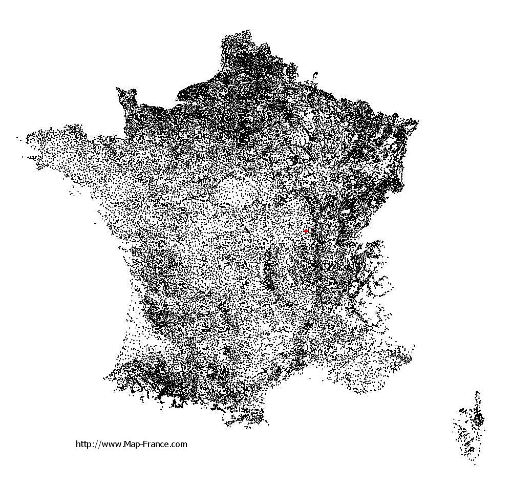
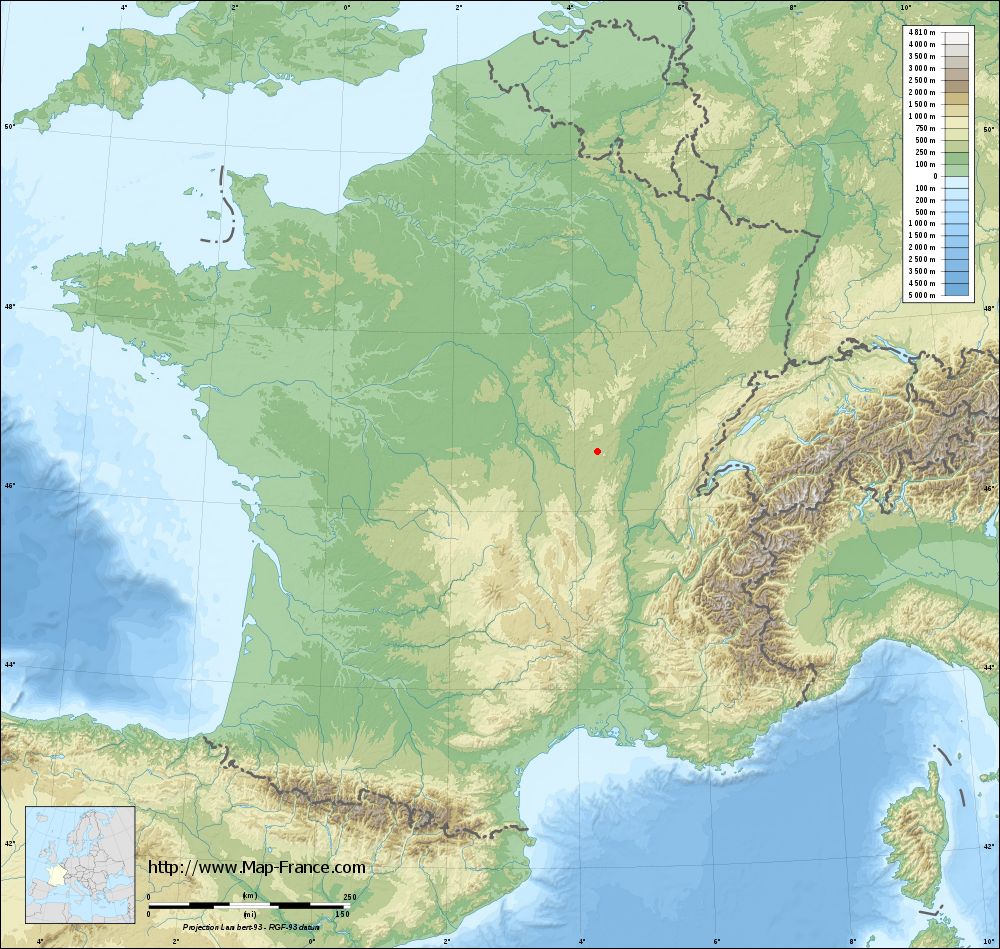
Montceau-les-Mines on the relief France map in Lambert 93 coordinates
|

See the map of Montceau-les-Mines in full screen (1000 x 949)
|
At left, here is the location of Montceau-les-Mines on the relief France map in Lambert 93 coordinates.
Here are the altitudes of Montceau-les-Mines :
- Town hall altitude of Montceau-les-Mines is 318 meters
- Minimum altitude of Montceau-les-Mines is 274 meters
- Maximum altitude of Montceau-les-Mines is 326 meters
- Medium altitude of Montceau-les-Mines is 300 meters
Here are the altitudes of Mâcon, prefecture of Saône-et-Loire department:
- Town hall altitude of Mâcon is 190 meters
- Minimum altitude of Mâcon is 167 meters
- Maximum altitude of Mâcon is 347 meters
- Medium altitude of Mâcon is 257 meters
Here are the altitudes of the french biggest cities:
Paris : 33 meters
Marseille : 20 meters
Lyon : 237 meters
Toulouse : 146 meters
Nice : 10 meters
Nantes : 20 meters
Strasbourg : 144 meters
Montpellier : 35 meters
Bordeaux : 16 meters
Lille : 20 meters
Rennes : 35 meters
Reims : 83 meters
Click here for the terrain map of Montceau-les-Mines in full screen:
Relief map of Montceau-les-Mines
|
This relief map of Montceau-les-Mines is reusable and modifiable by making a link to this page of the Map-France.com website or by using the given code :
|
Terrain base map of Montceau-les-Mines
|
See the terrain base map of Montceau-les-Mines in full screen (1000 x 949)
|
Small relief base map of Montceau-les-Mines

|
This base map of Montceau-les-Mines is reusable and modifiable by making a link to this page of the Map-France.com website or by using the given code :
|
Map of Montceau-les-Mines with regions and prefectures
|
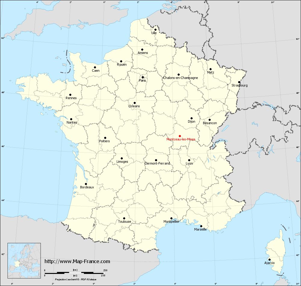
View the map of Montceau-les-Mines in full screen (1000 x 949)
|
You will find the location of Montceau-les-Mines on the map of France of regions in Lambert 93 coordinates. The city of Montceau-les-Mines is located in the department of Saône-et-Loire of the french region Bourgogne.
Geographical sexagesimal coordinates / GPS (WGS84):
Latitude: 46° 40' 01'' North
Longitude: 04° 22' 08'' East
Geographical decimal coordinates :
Latitude: 46.682 degrees (46.682° North)
Longitude: 4.365 degrees (4.365° East)
Lambert 93 coordinates :
X: 8 047 hectometers
Y: 66 194 hectometers
Lambert 2 coordinates :
X: 7 555 hectometers
Y: 21 872 hectometers
Below, the geographical coordinates of Mâcon, prefecture of the Saône-et-Loire department:
Geographical sexagesimal coordinates / GPS (WGS84):
Latitude: 46° 18' 24'' North
Longitude: 04° 49' 55'' East
Geographical decimal coordinates :
Latitude: 46.308 degrees (46.308° North)
Longitude: 4.831 degrees (4.831° East)
Lambert 93 coordinates :
X: 8 410 hectometers
Y: 65 802 hectometers
Lambert 2 coordinates :
X: 7 922 hectometers
Y: 21 482 hectometers
|
This map of Montceau-les-Mines is reusable and modifiable by making a link to this page of the Map-France.com website or by using the given code :
|
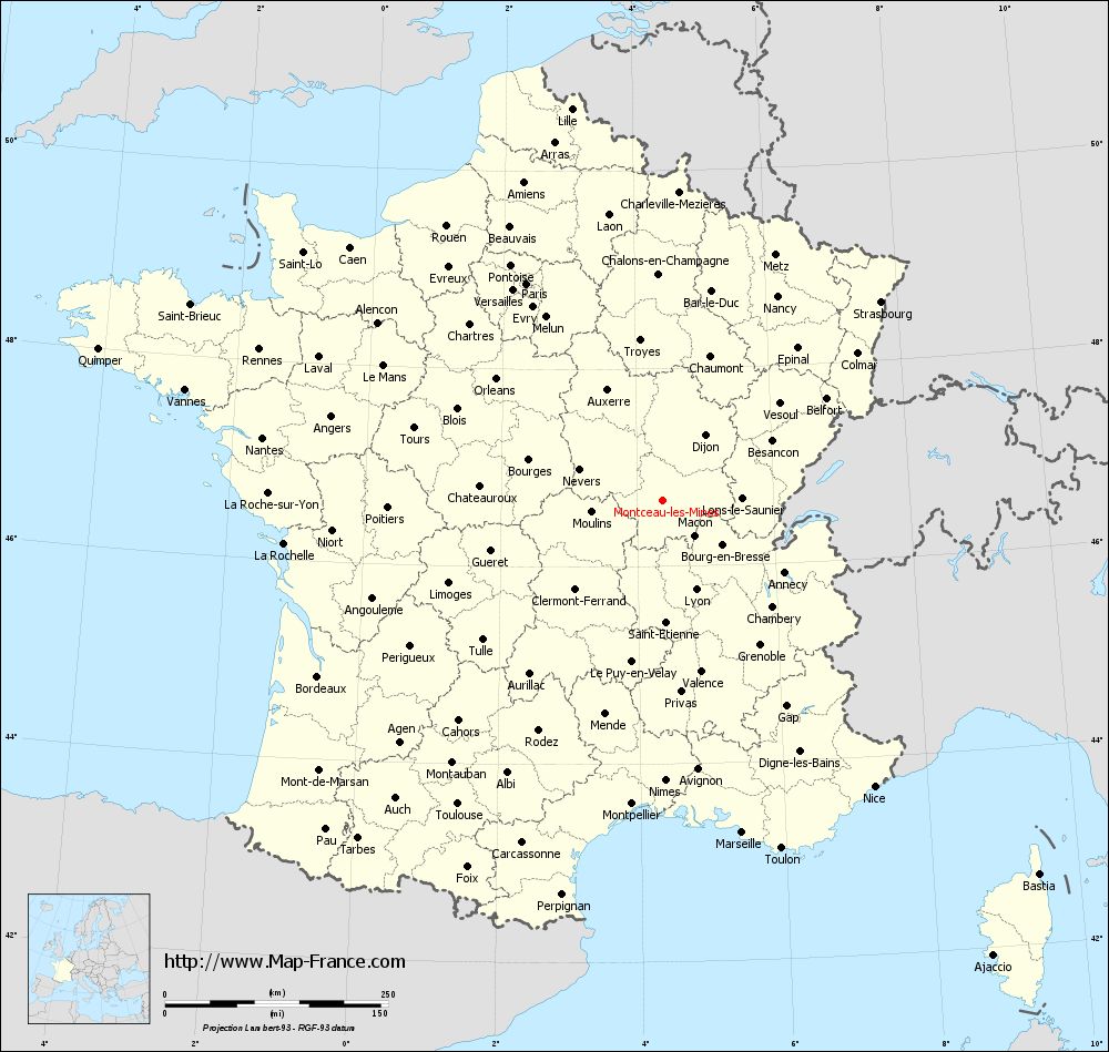
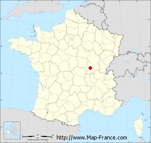
Map of Montceau-les-Mines with departments and prefectures
|
Voir la carte of Montceau-les-Mines en grand format (1000 x 949)
|
Here is the localization of Montceau-les-Mines on the France map of departments in Lambert 93 coordinates. The city of Montceau-les-Mines is shown on the map by a red point.
The city of Montceau-les-Mines is located in the department of Saône-et-Loire of the french region Bourgogne.
The latitude of Montceau-les-Mines is 46.682 degrees North.
The longitude of Montceau-les-Mines is 4.365 degrees East.
Here the distance between Montceau-les-Mines and the biggest cities of France:
Distances are calculated as the crow flies (orthodromic distance)
Distance between Montceau-les-Mines and Paris : 285.19 kilometers
Distance between Montceau-les-Mines and Marseille : 384.69 kilometers
Distance between Montceau-les-Mines and Lyon : 108.61 kilometers
Distance between Montceau-les-Mines and Toulouse : 411.52 kilometers
Distance between Montceau-les-Mines and Nice : 400.89 kilometers
Distance between Montceau-les-Mines and Nantes : 452.74 kilometers
Distance between Montceau-les-Mines and Strasbourg : 330.33 kilometers
Distance between Montceau-les-Mines and Montpellier : 343.56 kilometers
Distance between Montceau-les-Mines and Bordeaux : 433.86 kilometers
Distance between Montceau-les-Mines and Lille : 449.02 kilometers
Distance between Montceau-les-Mines and Rennes : 481.32 kilometers
Distance between Montceau-les-Mines and Reims : 287.32 kilometers
Clic here to see the map of Montceau-les-Mines in full screen:
Montceau-les-Mines on the map of french departments
|
This administrative map of Montceau-les-Mines is reusable and modifiable by making a link to this page of the Map-France.com website or by using the given code :
|
Administrative base maps of Montceau-les-Mines
|

See the administrative base map of Montceau-les-Mines in full screen (1000 x 949)
|
Small administrative base map of Montceau-les-Mines
|
This base map administrative of Montceau-les-Mines is reusable and modifiable by making a link to this page of the Map-France.com website or by using the given code :
|
 French Version : http://www.cartesfrance.fr