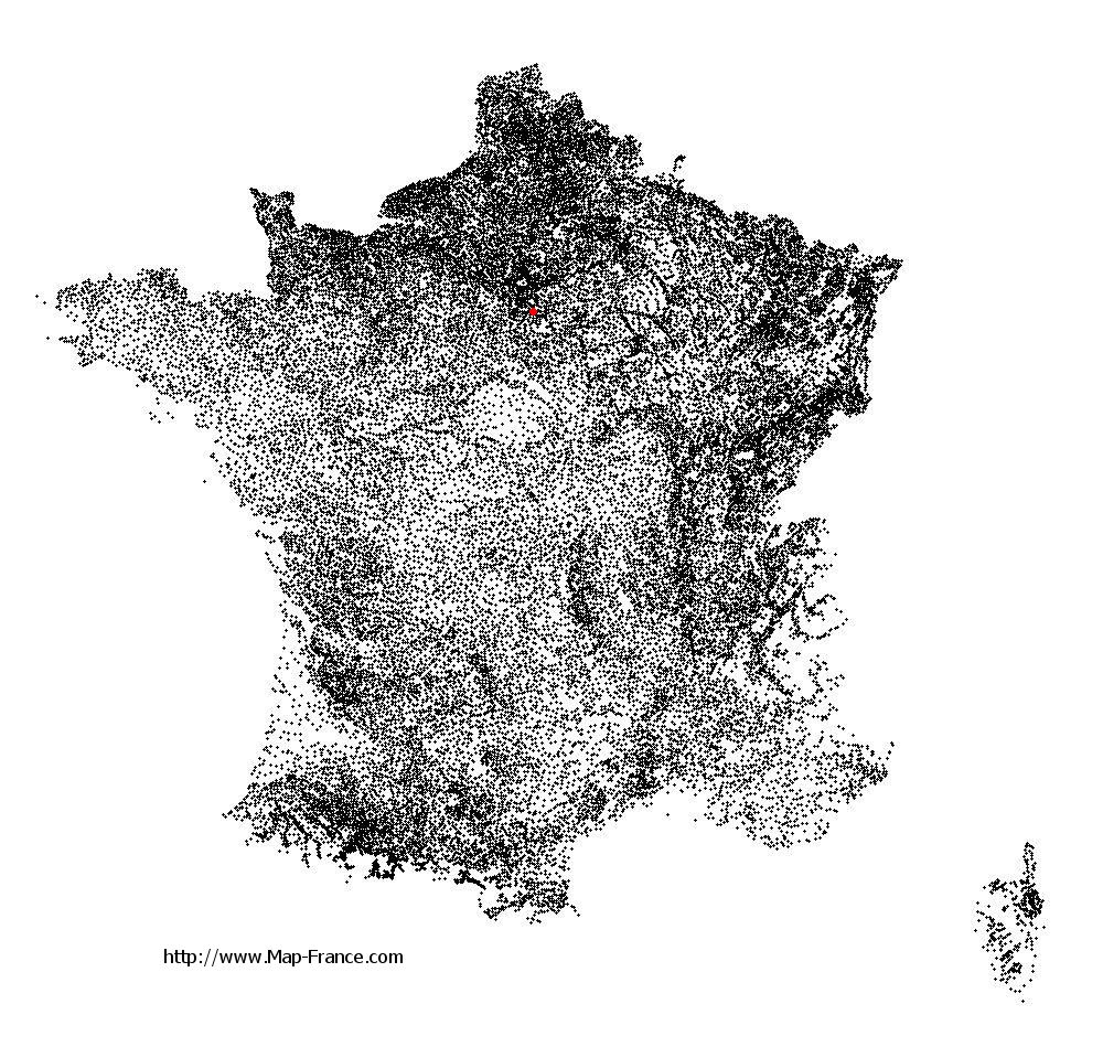
Morsang-sur-Seine on the relief France map in Lambert 93 coordinates
|
See the map of Morsang-sur-Seine in full screen (1000 x 949)
|
At left, here is the location of Morsang-sur-Seine on the relief France map in Lambert 93 coordinates.
Here are the altitudes of Morsang-sur-Seine :
- Town hall altitude of Morsang-sur-Seine is 42 meters
- Minimum altitude of Morsang-sur-Seine is 32 meters
- Maximum altitude of Morsang-sur-Seine is 93 meters
- Medium altitude of Morsang-sur-Seine is 63 meters
Here are the altitudes of Évry, prefecture of Essonne department:
- Town hall altitude of Évry is 75 meters
- Minimum altitude of Évry is 32 meters
- Maximum altitude of Évry is 95 meters
- Medium altitude of Évry is 64 meters
Here are the altitudes of the french biggest cities:
Paris : 33 meters
Marseille : 20 meters
Lyon : 237 meters
Toulouse : 146 meters
Nice : 10 meters
Nantes : 20 meters
Strasbourg : 144 meters
Montpellier : 35 meters
Bordeaux : 16 meters
Lille : 20 meters
Rennes : 35 meters
Reims : 83 meters
Click here for the terrain map of Morsang-sur-Seine in full screen:
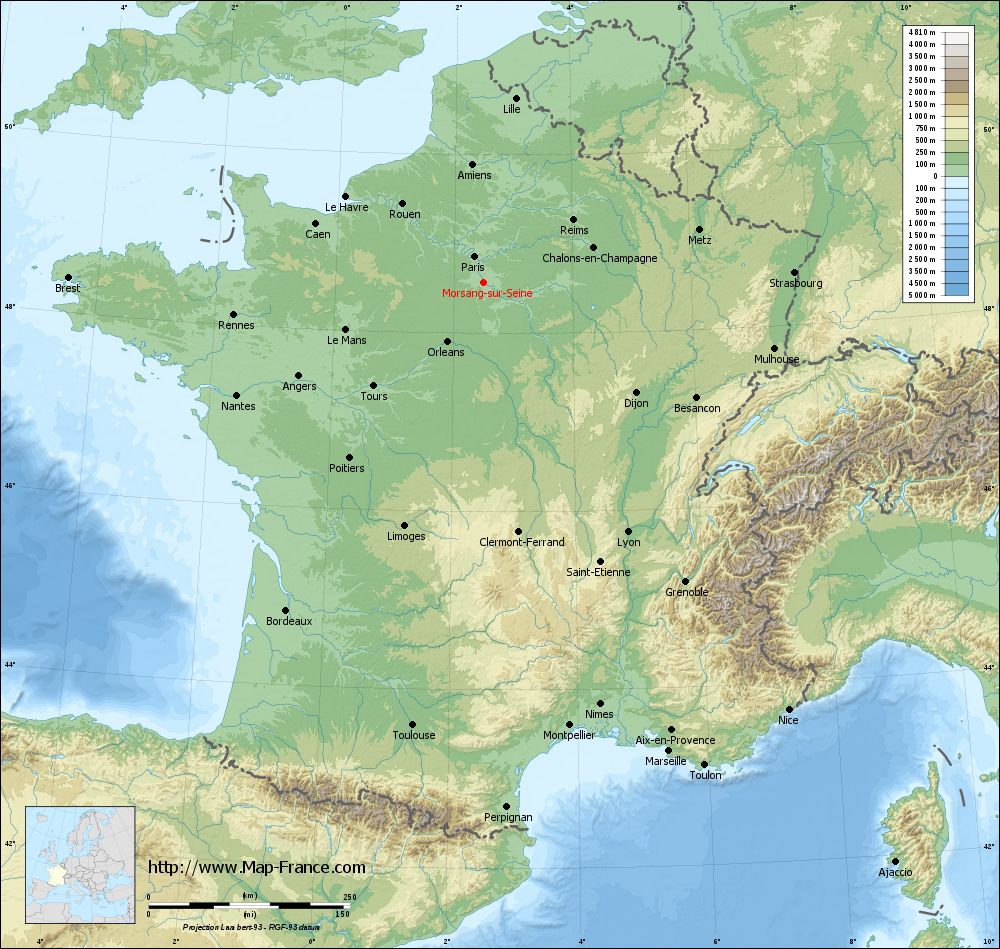
Relief map of Morsang-sur-Seine
|
This relief map of Morsang-sur-Seine is reusable and modifiable by making a link to this page of the Map-France.com website or by using the given code :
|
Terrain base map of Morsang-sur-Seine
|

See the terrain base map of Morsang-sur-Seine in full screen (1000 x 949)
|
Small relief base map of Morsang-sur-Seine

|
This base map of Morsang-sur-Seine is reusable and modifiable by making a link to this page of the Map-France.com website or by using the given code :
|
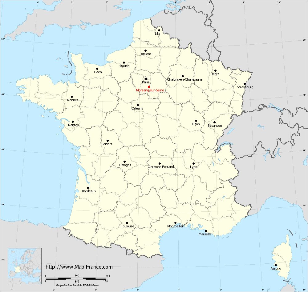
Map of Morsang-sur-Seine with regions and prefectures
|
View the map of Morsang-sur-Seine in full screen (1000 x 949)
|
You will find the location of Morsang-sur-Seine on the map of France of regions in Lambert 93 coordinates. The town of Morsang-sur-Seine is located in the department of Essonne of the french region Île-de-France.
Geographical sexagesimal coordinates / GPS (WGS84):
Latitude: 48° 34' 16'' North
Longitude: 02° 29' 33'' East
Geographical decimal coordinates :
Latitude: 48.571 degrees (48.571° North)
Longitude: 2.494 degrees (2.494° East)
Lambert 93 coordinates :
X: 6 626 hectometers
Y: 68 302 hectometers
Lambert 2 coordinates :
X: 6 115 hectometers
Y: 23 969 hectometers
Below, the geographical coordinates of Évry, prefecture of the Essonne department:
Geographical sexagesimal coordinates / GPS (WGS84):
Latitude: 48° 38' 02'' North
Longitude: 02° 26' 39'' East
Geographical decimal coordinates :
Latitude: 48.636 degrees (48.636° North)
Longitude: 2.443 degrees (2.443° East)
Lambert 93 coordinates :
X: 6 590 hectometers
Y: 68 372 hectometers
Lambert 2 coordinates :
X: 6 079 hectometers
Y: 24 039 hectometers
|
This map of Morsang-sur-Seine is reusable and modifiable by making a link to this page of the Map-France.com website or by using the given code :
|
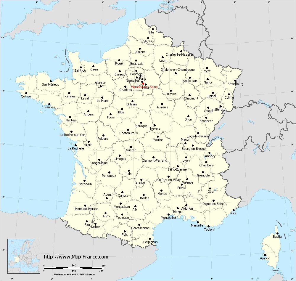
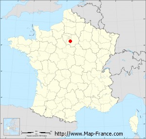
Map of Morsang-sur-Seine with departments and prefectures
|
Voir la carte of Morsang-sur-Seine en grand format (1000 x 949)
|
Here is the localization of Morsang-sur-Seine on the France map of departments in Lambert 93 coordinates. The city of Morsang-sur-Seine is shown on the map by a red point.
The town of Morsang-sur-Seine is located in the department of Essonne of the french region Île-de-France.
The latitude of Morsang-sur-Seine is 48.571 degrees North.
The longitude of Morsang-sur-Seine is 2.494 degrees East.
Here the distance between Morsang-sur-Seine and the biggest cities of France:
Distances are calculated as the crow flies (orthodromic distance)
Distance between Morsang-sur-Seine and Paris : 33.93 kilometers
Distance between Morsang-sur-Seine and Marseille : 627.39 kilometers
Distance between Morsang-sur-Seine and Lyon : 358.93 kilometers
Distance between Morsang-sur-Seine and Toulouse : 558.16 kilometers
Distance between Morsang-sur-Seine and Nice : 653.15 kilometers
Distance between Morsang-sur-Seine and Nantes : 336.82 kilometers
Distance between Morsang-sur-Seine and Strasbourg : 386.74 kilometers
Distance between Morsang-sur-Seine and Montpellier : 561.51 kilometers
Distance between Morsang-sur-Seine and Bordeaux : 475.57 kilometers
Distance between Morsang-sur-Seine and Lille : 231.93 kilometers
Distance between Morsang-sur-Seine and Rennes : 312.49 kilometers
Distance between Morsang-sur-Seine and Reims : 135.74 kilometers
Clic here to see the map of Morsang-sur-Seine in full screen:
Morsang-sur-Seine on the map of french departments
|
This administrative map of Morsang-sur-Seine is reusable and modifiable by making a link to this page of the Map-France.com website or by using the given code :
|
Administrative base maps of Morsang-sur-Seine
|

See the administrative base map of Morsang-sur-Seine in full screen (1000 x 949)
|
Small administrative base map of Morsang-sur-Seine
|
This base map administrative of Morsang-sur-Seine is reusable and modifiable by making a link to this page of the Map-France.com website or by using the given code :
|
 French Version : http://www.cartesfrance.fr