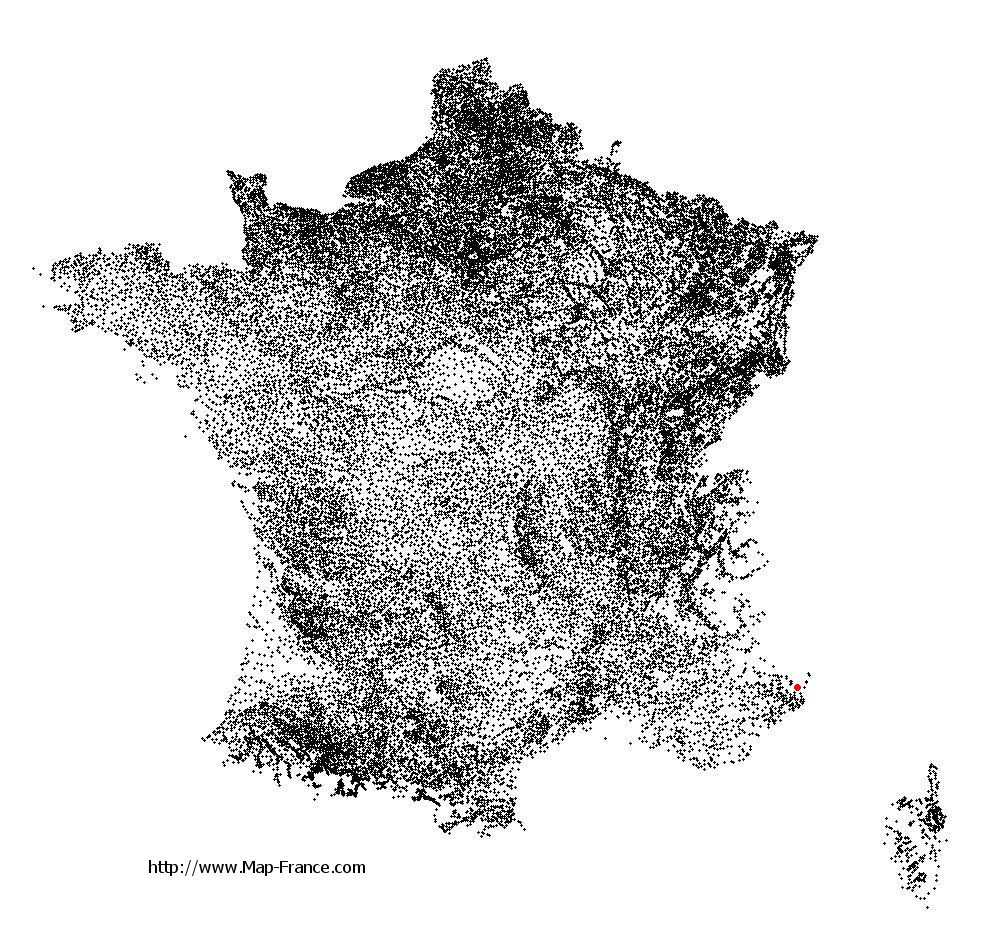
Moulinet on the relief France map in Lambert 93 coordinates
|

See the map of Moulinet in full screen (1000 x 949)
|
At left, here is the location of Moulinet on the relief France map in Lambert 93 coordinates.
Here are the altitudes of Moulinet :
- Town hall altitude of Moulinet is 800 meters
- Minimum altitude of Moulinet is 516 meters
- Maximum altitude of Moulinet is 2 080 meters
- Medium altitude of Moulinet is 1 298 meters
Here are the altitudes of Nice, prefecture of Alpes-Maritimes department:
- Town hall altitude of Nice is 10 meters
- Minimum altitude of Nice is 0 meters
- Maximum altitude of Nice is 520 meters
- Medium altitude of Nice is 260 meters
Here are the altitudes of the french biggest cities:
Paris : 33 meters
Marseille : 20 meters
Lyon : 237 meters
Toulouse : 146 meters
Nice : 10 meters
Nantes : 20 meters
Strasbourg : 144 meters
Montpellier : 35 meters
Bordeaux : 16 meters
Lille : 20 meters
Rennes : 35 meters
Reims : 83 meters
Click here for the terrain map of Moulinet in full screen:
Relief map of Moulinet
|
This relief map of Moulinet is reusable and modifiable by making a link to this page of the Map-France.com website or by using the given code :
|
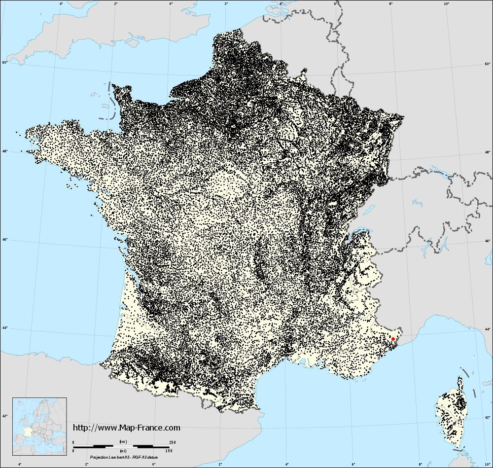
Terrain base map of Moulinet
|

See the terrain base map of Moulinet in full screen (1000 x 949)
|
Small relief base map of Moulinet

|
This base map of Moulinet is reusable and modifiable by making a link to this page of the Map-France.com website or by using the given code :
|
Map of Moulinet with regions and prefectures
|
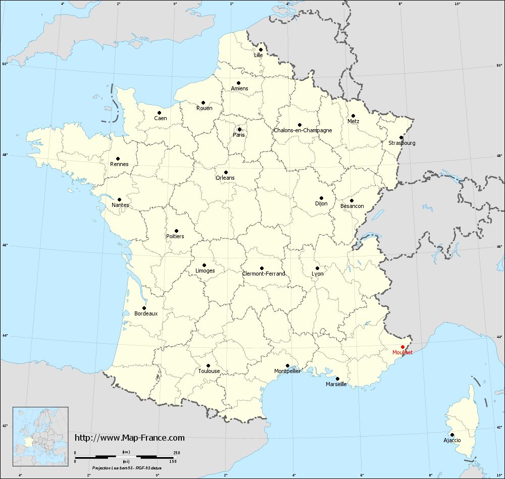
View the map of Moulinet in full screen (1000 x 949)
|
You will find the location of Moulinet on the map of France of regions in Lambert 93 coordinates. The town of Moulinet is located in the department of Alpes-Maritimes of the french region Provence-Alpes-Côte d'Azur.
Geographical sexagesimal coordinates / GPS (WGS84):
Latitude: 43° 56' 27'' North
Longitude: 07° 24' 46'' East
Geographical decimal coordinates :
Latitude: 43.943 degrees (43.943° North)
Longitude: 7.413 degrees (7.413° East)
Lambert 93 coordinates :
X: 10 541 hectometers
Y: 63 257 hectometers
Lambert 2 coordinates :
X: 10 077 hectometers
Y: 18 953 hectometers
Below, the geographical coordinates of Nice, prefecture of the Alpes-Maritimes department:
Geographical sexagesimal coordinates / GPS (WGS84):
Latitude: 43° 42' 07'' North
Longitude: 07° 16' 06'' East
Geographical decimal coordinates :
Latitude: 43.706 degrees (43.706° North)
Longitude: 7.262 degrees (7.262° East)
Lambert 93 coordinates :
X: 10 440 hectometers
Y: 62 985 hectometers
Lambert 2 coordinates :
X: 9 978 hectometers
Y: 18 680 hectometers
|
This map of Moulinet is reusable and modifiable by making a link to this page of the Map-France.com website or by using the given code :
|
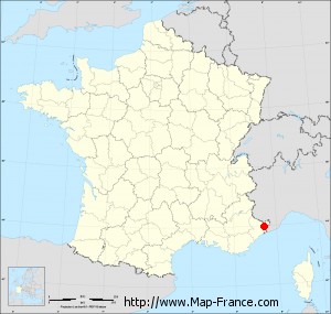
Map of Moulinet with departments and prefectures
|
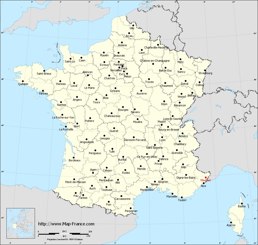
Voir la carte of Moulinet en grand format (1000 x 949)
|
Here is the localization of Moulinet on the France map of departments in Lambert 93 coordinates. The city of Moulinet is shown on the map by a red point.
The town of Moulinet is located in the department of Alpes-Maritimes of the french region Provence-Alpes-Côte d'Azur.
The latitude of Moulinet is 43.943 degrees North.
The longitude of Moulinet is 7.413 degrees East.
Here the distance between Moulinet and the biggest cities of France:
Distances are calculated as the crow flies (orthodromic distance)
Distance between Moulinet and Paris : 669.99 kilometers
Distance between Moulinet and Marseille : 177.08 kilometers
Distance between Moulinet and Lyon : 286.33 kilometers
Distance between Moulinet and Toulouse : 479.78 kilometers
Distance between Moulinet and Nice : 28.9 kilometers
Distance between Moulinet and Nantes : 785.93 kilometers
Distance between Moulinet and Strasbourg : 516.42 kilometers
Distance between Moulinet and Montpellier : 286.27 kilometers
Distance between Moulinet and Bordeaux : 641.74 kilometers
Distance between Moulinet and Lille : 812.14 kilometers
Distance between Moulinet and Rennes : 839.54 kilometers
Distance between Moulinet and Reims : 644.37 kilometers
Clic here to see the map of Moulinet in full screen:
Moulinet on the map of french departments
|
This administrative map of Moulinet is reusable and modifiable by making a link to this page of the Map-France.com website or by using the given code :
|
Administrative base maps of Moulinet
|

See the administrative base map of Moulinet in full screen (1000 x 949)
|
Small administrative base map of Moulinet
|
This base map administrative of Moulinet is reusable and modifiable by making a link to this page of the Map-France.com website or by using the given code :
|
 French Version : http://www.cartesfrance.fr