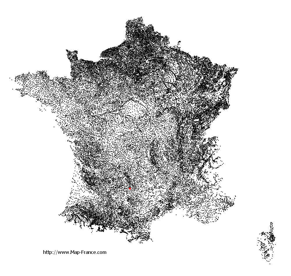
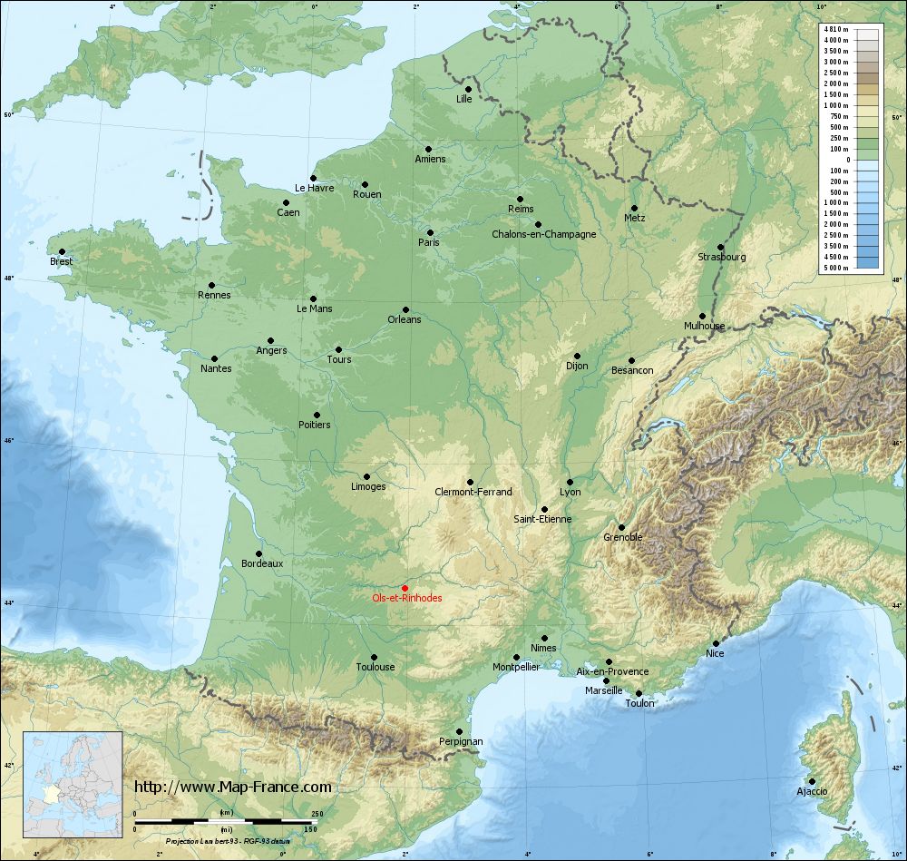
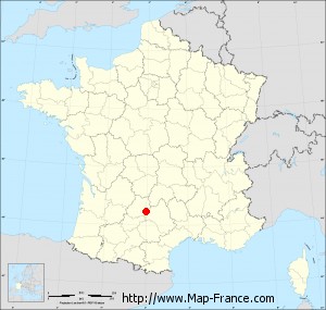
Ols-et-Rinhodes on the relief France map in Lambert 93 coordinates
|
See the map of Ols-et-Rinhodes in full screen (1000 x 949)
|
At left, here is the location of Ols-et-Rinhodes on the relief France map in Lambert 93 coordinates.
Here are the altitudes of Ols-et-Rinhodes :
- Town hall altitude of Ols-et-Rinhodes is 350 meters
- Minimum altitude of Ols-et-Rinhodes is 305 meters
- Maximum altitude of Ols-et-Rinhodes is 400 meters
- Medium altitude of Ols-et-Rinhodes is 353 meters
Here are the altitudes of Rodez, prefecture of Aveyron department:
- Town hall altitude of Rodez is 618 meters
- Minimum altitude of Rodez is 501 meters
- Maximum altitude of Rodez is 643 meters
- Medium altitude of Rodez is 572 meters
Here are the altitudes of the french biggest cities:
Paris : 33 meters
Marseille : 20 meters
Lyon : 237 meters
Toulouse : 146 meters
Nice : 10 meters
Nantes : 20 meters
Strasbourg : 144 meters
Montpellier : 35 meters
Bordeaux : 16 meters
Lille : 20 meters
Rennes : 35 meters
Reims : 83 meters
Click here for the terrain map of Ols-et-Rinhodes in full screen:
Relief map of Ols-et-Rinhodes
|
This relief map of Ols-et-Rinhodes is reusable and modifiable by making a link to this page of the Map-France.com website or by using the given code :
|
Terrain base map of Ols-et-Rinhodes
|

See the terrain base map of Ols-et-Rinhodes in full screen (1000 x 949)
|
Small relief base map of Ols-et-Rinhodes
|
This base map of Ols-et-Rinhodes is reusable and modifiable by making a link to this page of the Map-France.com website or by using the given code :
|
Map of Ols-et-Rinhodes with regions and prefectures
|
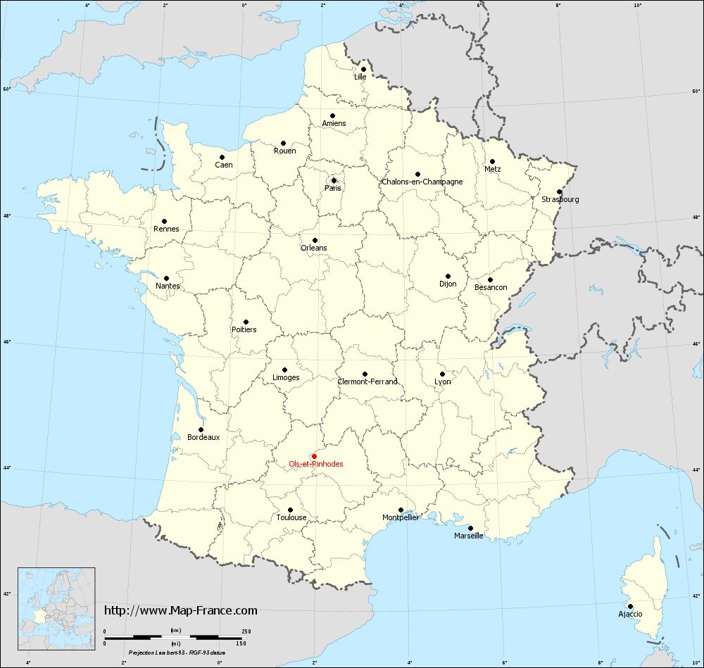
View the map of Ols-et-Rinhodes in full screen (1000 x 949)
|
You will find the location of Ols-et-Rinhodes on the map of France of regions in Lambert 93 coordinates. The town of Ols-et-Rinhodes is located in the department of Aveyron of the french region Midi-Pyrénées.
Geographical sexagesimal coordinates / GPS (WGS84):
Latitude: 44° 27' 59'' North
Longitude: 01° 57' 39'' East
Geographical decimal coordinates :
Latitude: 44.468 degrees (44.468° North)
Longitude: 1.961 degrees (1.961° East)
Lambert 93 coordinates :
X: 6 173 hectometers
Y: 63 747 hectometers
Lambert 2 coordinates :
X: 5 701 hectometers
Y: 19 407 hectometers
Below, the geographical coordinates of Rodez, prefecture of the Aveyron department:
Geographical sexagesimal coordinates / GPS (WGS84):
Latitude: 44° 20' 60'' North
Longitude: 02° 34' 27'' East
Geographical decimal coordinates :
Latitude: 44.354 degrees (44.354° North)
Longitude: 2.571 degrees (2.571° East)
Lambert 93 coordinates :
X: 6 661 hectometers
Y: 63 613 hectometers
Lambert 2 coordinates :
X: 6 190 hectometers
Y: 19 277 hectometers
|
This map of Ols-et-Rinhodes is reusable and modifiable by making a link to this page of the Map-France.com website or by using the given code :
|
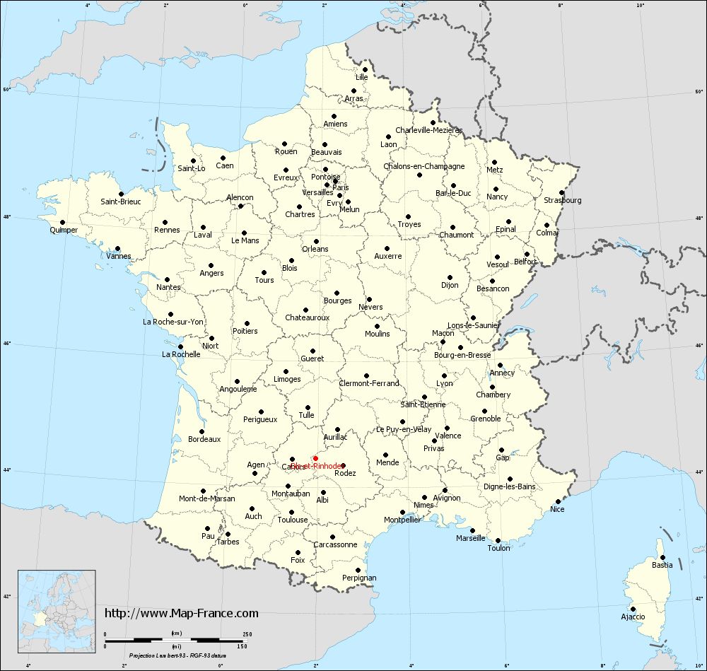
Map of Ols-et-Rinhodes with departments and prefectures
|
Voir la carte of Ols-et-Rinhodes en grand format (1000 x 949)
|
Here is the localization of Ols-et-Rinhodes on the France map of departments in Lambert 93 coordinates. The city of Ols-et-Rinhodes is shown on the map by a red point.
The town of Ols-et-Rinhodes is located in the department of Aveyron of the french region Midi-Pyrénées.
The latitude of Ols-et-Rinhodes is 44.468 degrees North.
The longitude of Ols-et-Rinhodes is 1.961 degrees East.
Here the distance between Ols-et-Rinhodes and the biggest cities of France:
Distances are calculated as the crow flies (orthodromic distance)
Distance between Ols-et-Rinhodes and Paris : 488.97 kilometers
Distance between Ols-et-Rinhodes and Marseille : 304.47 kilometers
Distance between Ols-et-Rinhodes and Lyon : 267.14 kilometers
Distance between Ols-et-Rinhodes and Toulouse : 104.69 kilometers
Distance between Ols-et-Rinhodes and Nice : 431.36 kilometers
Distance between Ols-et-Rinhodes and Nantes : 409.14 kilometers
Distance between Ols-et-Rinhodes and Strasbourg : 636.38 kilometers
Distance between Ols-et-Rinhodes and Montpellier : 180.14 kilometers
Distance between Ols-et-Rinhodes and Bordeaux : 204.72 kilometers
Distance between Ols-et-Rinhodes and Lille : 689.24 kilometers
Distance between Ols-et-Rinhodes and Rennes : 491.53 kilometers
Distance between Ols-et-Rinhodes and Reims : 554.92 kilometers
Clic here to see the map of Ols-et-Rinhodes in full screen:
Ols-et-Rinhodes on the map of french departments
|
This administrative map of Ols-et-Rinhodes is reusable and modifiable by making a link to this page of the Map-France.com website or by using the given code :
|
Administrative base maps of Ols-et-Rinhodes
|

See the administrative base map of Ols-et-Rinhodes in full screen (1000 x 949)
|
Small administrative base map of Ols-et-Rinhodes
|
This base map administrative of Ols-et-Rinhodes is reusable and modifiable by making a link to this page of the Map-France.com website or by using the given code :
|
 French Version : http://www.cartesfrance.fr