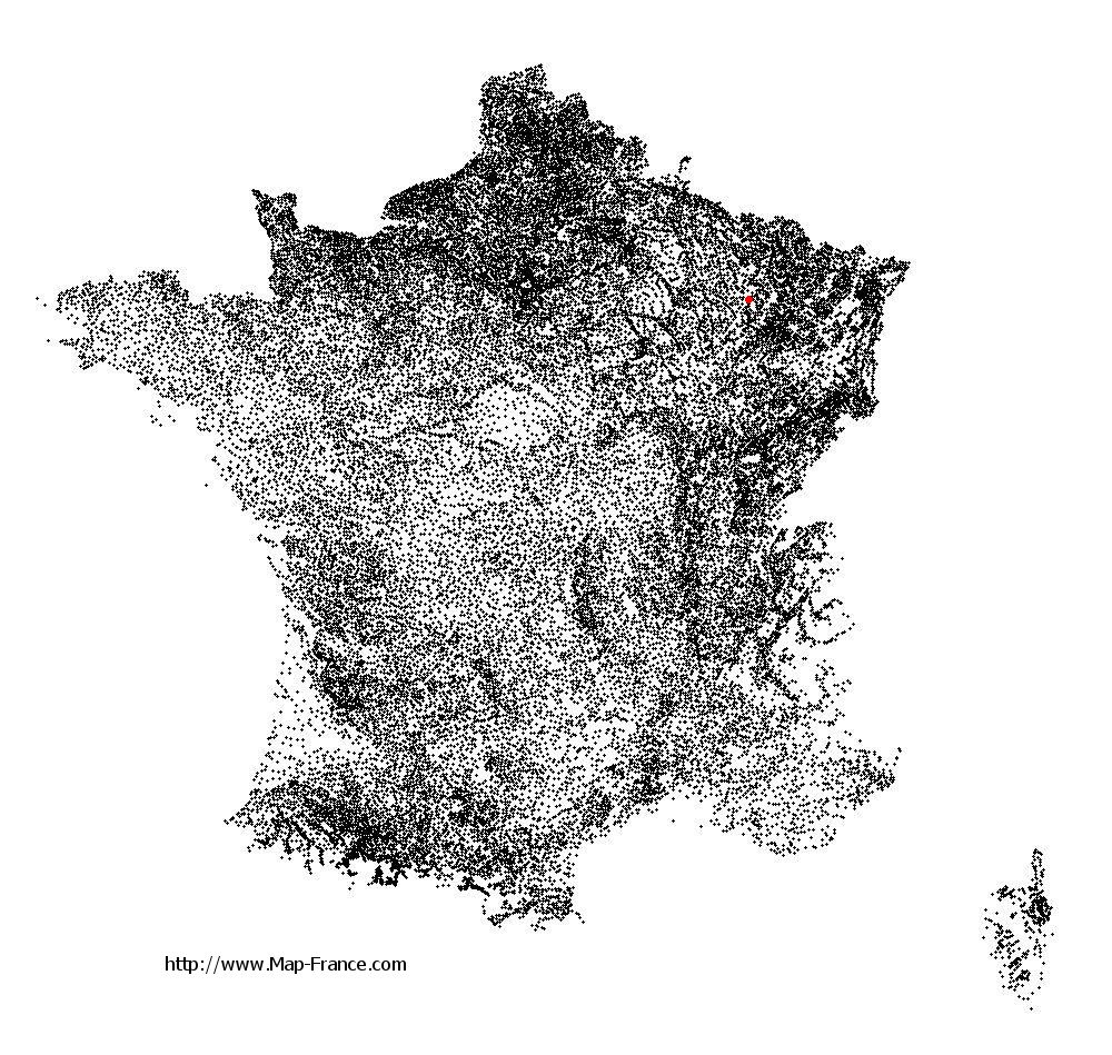
Map of Pagny-sur-Meuse with regions and prefectures
|
View the map of Pagny-sur-Meuse in full screen (1000 x 949)
|
You will find the location of Pagny-sur-Meuse on the map of France of regions in Lambert 93 coordinates. The town of Pagny-sur-Meuse is located in the department of Meuse of the french region Lorraine.
Geographical sexagesimal coordinates / GPS (WGS84):
Latitude: 48° 41' 15'' North
Longitude: 05° 43' 03'' East
Geographical decimal coordinates :
Latitude: 48.688 degrees (48.688° North)
Longitude: 5.718 degrees (5.718° East)
Lambert 93 coordinates :
X: 9 000 hectometers
Y: 68 465 hectometers
Lambert 2 coordinates :
X: 8 490 hectometers
Y: 24 152 hectometers
Below, the geographical coordinates of Bar-le-Duc, prefecture of the Meuse department:
Geographical sexagesimal coordinates / GPS (WGS84):
Latitude: 48° 46' 18'' North
Longitude: 05° 10' 02'' East
Geographical decimal coordinates :
Latitude: 48.771 degrees (48.771° North)
Longitude: 5.173 degrees (5.173° East)
Lambert 93 coordinates :
X: 8 593 hectometers
Y: 68 546 hectometers
Lambert 2 coordinates :
X: 8 081 hectometers
Y: 24 230 hectometers
|
This map of Pagny-sur-Meuse is reusable and modifiable by making a link to this page of the Map-France.com website or by using the given code :
|
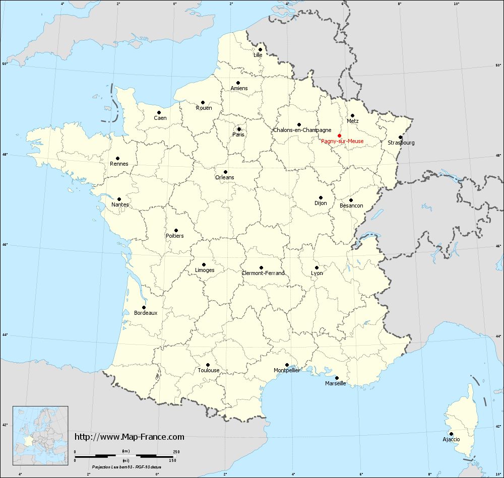
Map of Pagny-sur-Meuse with departments and prefectures
|
Voir la carte of Pagny-sur-Meuse en grand format (1000 x 949)
|
Here is the localization of Pagny-sur-Meuse on the France map of departments in Lambert 93 coordinates. The city of Pagny-sur-Meuse is shown on the map by a red point.
The town of Pagny-sur-Meuse is located in the department of Meuse of the french region Lorraine.
The latitude of Pagny-sur-Meuse is 48.688 degrees North.
The longitude of Pagny-sur-Meuse is 5.718 degrees East.
Here the distance between Pagny-sur-Meuse and the biggest cities of France:
Distances are calculated as the crow flies (orthodromic distance)
Distance between Pagny-sur-Meuse and Paris : 247.6 kilometers
Distance between Pagny-sur-Meuse and Marseille : 599.43 kilometers
Distance between Pagny-sur-Meuse and Lyon : 332.09 kilometers
Distance between Pagny-sur-Meuse and Toulouse : 653.58 kilometers
Distance between Pagny-sur-Meuse and Nice : 566.1 kilometers
Distance between Pagny-sur-Meuse and Nantes : 564.9 kilometers
Distance between Pagny-sur-Meuse and Strasbourg : 150.1 kilometers
Distance between Pagny-sur-Meuse and Montpellier : 581.84 kilometers
Distance between Pagny-sur-Meuse and Bordeaux : 641.37 kilometers
Distance between Pagny-sur-Meuse and Lille : 288.78 kilometers
Distance between Pagny-sur-Meuse and Rennes : 549.3 kilometers
Distance between Pagny-sur-Meuse and Reims : 138.31 kilometers
Clic here to see the map of Pagny-sur-Meuse in full screen:
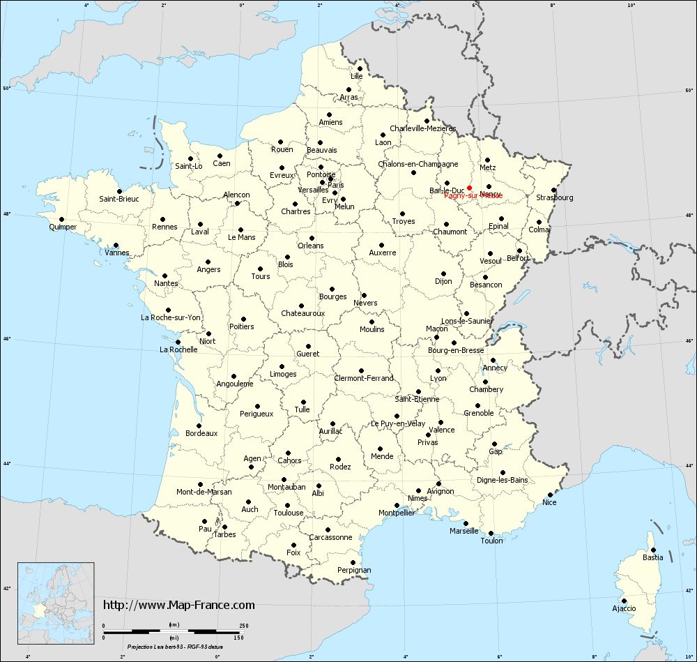
Pagny-sur-Meuse on the map of french departments
|
This administrative map of Pagny-sur-Meuse is reusable and modifiable by making a link to this page of the Map-France.com website or by using the given code :
|
Administrative base maps of Pagny-sur-Meuse
|

See the administrative base map of Pagny-sur-Meuse in full screen (1000 x 949)
|
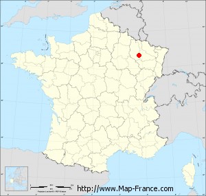
Small administrative base map of Pagny-sur-Meuse
|
This base map administrative of Pagny-sur-Meuse is reusable and modifiable by making a link to this page of the Map-France.com website or by using the given code :
|
 French Version : http://www.cartesfrance.fr