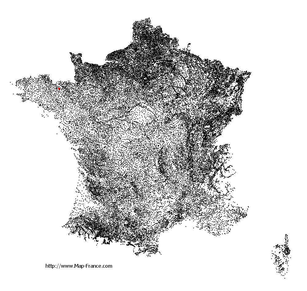
Plénée-Jugon on the relief France map in Lambert 93 coordinates
|

See the map of Plénée-Jugon in full screen (1000 x 949)
|
At left, here is the location of Plénée-Jugon on the relief France map in Lambert 93 coordinates.
Here are the altitudes of Plénée-Jugon :
- Town hall altitude of Plénée-Jugon is 70 meters
- Minimum altitude of Plénée-Jugon is 35 meters
- Maximum altitude of Plénée-Jugon is 211 meters
- Medium altitude of Plénée-Jugon is 123 meters
Here are the altitudes of Saint-Brieuc, prefecture of Côtes-d'Armor department:
- Town hall altitude of Saint-Brieuc is 100 meters
- Minimum altitude of Saint-Brieuc is 0 meters
- Maximum altitude of Saint-Brieuc is 134 meters
- Medium altitude of Saint-Brieuc is 67 meters
Here are the altitudes of the french biggest cities:
Paris : 33 meters
Marseille : 20 meters
Lyon : 237 meters
Toulouse : 146 meters
Nice : 10 meters
Nantes : 20 meters
Strasbourg : 144 meters
Montpellier : 35 meters
Bordeaux : 16 meters
Lille : 20 meters
Rennes : 35 meters
Reims : 83 meters
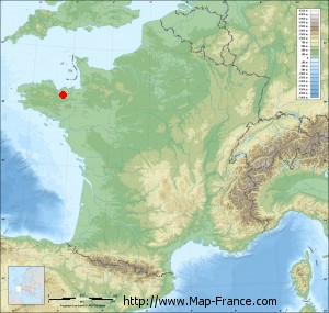
Click here for the terrain map of Plénée-Jugon in full screen:
Relief map of Plénée-Jugon
|
This relief map of Plénée-Jugon is reusable and modifiable by making a link to this page of the Map-France.com website or by using the given code :
|
Terrain base map of Plénée-Jugon
|

See the terrain base map of Plénée-Jugon in full screen (1000 x 949)
|
Small relief base map of Plénée-Jugon
|
This base map of Plénée-Jugon is reusable and modifiable by making a link to this page of the Map-France.com website or by using the given code :
|
Map of Plénée-Jugon with regions and prefectures
|
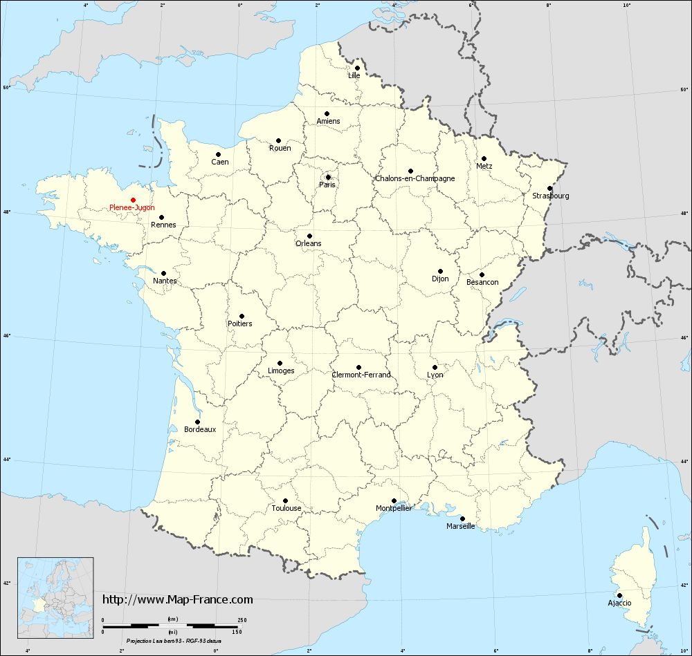
View the map of Plénée-Jugon in full screen (1000 x 949)
|
You will find the location of Plénée-Jugon on the map of France of regions in Lambert 93 coordinates. The city of Plénée-Jugon is located in the department of Côtes-d'Armor of the french region Bretagne.
Geographical sexagesimal coordinates / GPS (WGS84):
Latitude: 48° 21' 51'' North
Longitude: 02° 24' 02'' West
Geographical decimal coordinates :
Latitude: 48.365 degrees (48.365° North)
Longitude: -2.398 degrees (2.398° West)
Lambert 93 coordinates :
X: 3 003 hectometers
Y: 68 208 hectometers
Lambert 2 coordinates :
X: 2 491 hectometers
Y: 23 845 hectometers
Below, the geographical coordinates of Saint-Brieuc, prefecture of the Côtes-d'Armor department:
Geographical sexagesimal coordinates / GPS (WGS84):
Latitude: 48° 30' 49'' North
Longitude: 02° 45' 37'' West
Geographical decimal coordinates :
Latitude: 48.514 degrees (48.514° North)
Longitude: -2.773 degrees (2.773° West)
Lambert 93 coordinates :
X: 2 749 hectometers
Y: 68 392 hectometers
Lambert 2 coordinates :
X: 2 236 hectometers
Y: 24 027 hectometers
|
This map of Plénée-Jugon is reusable and modifiable by making a link to this page of the Map-France.com website or by using the given code :
|
Map of Plénée-Jugon with departments and prefectures
|
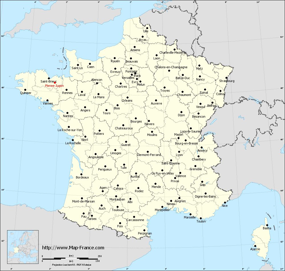
Voir la carte of Plénée-Jugon en grand format (1000 x 949)
|
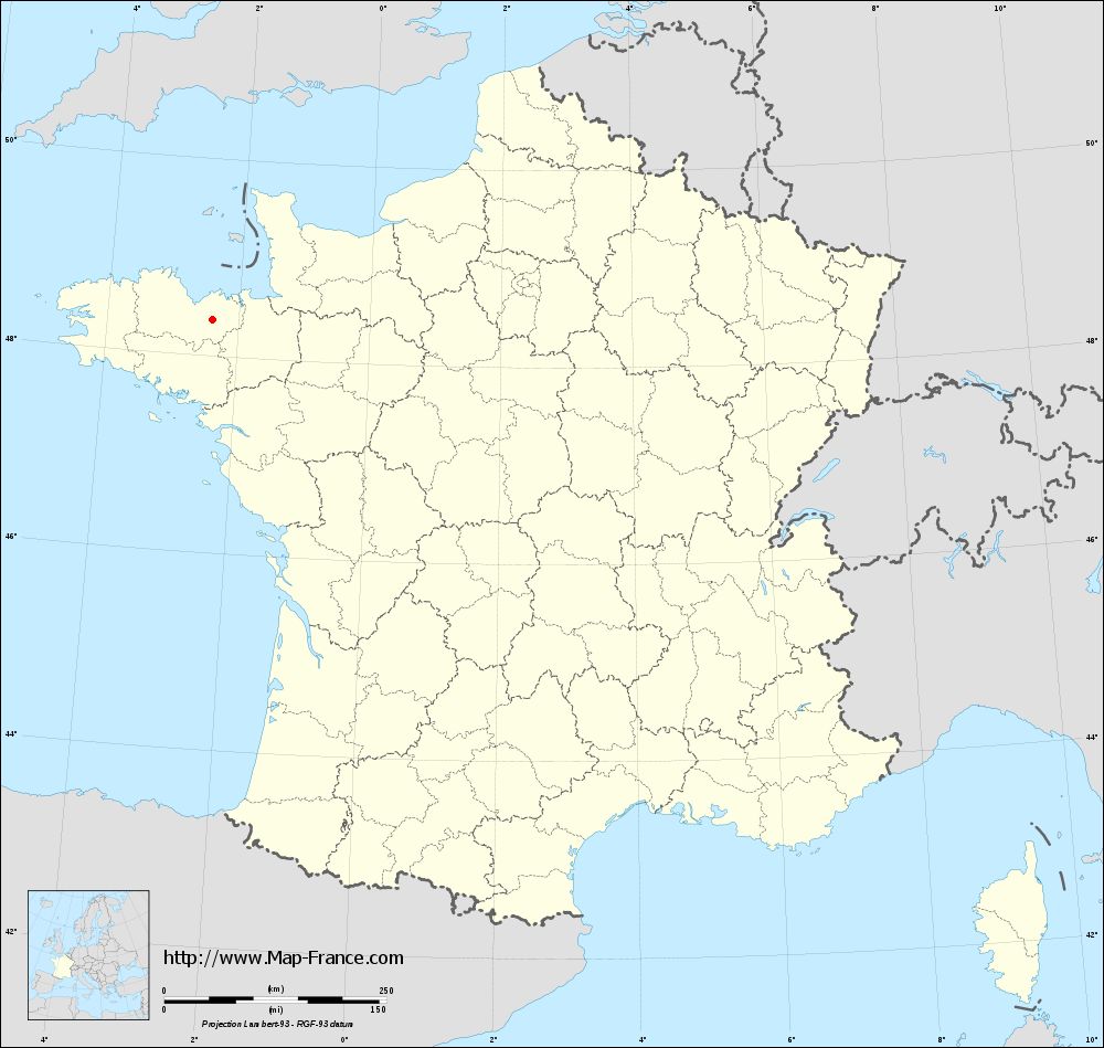
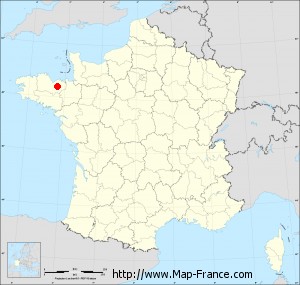
Here is the localization of Plénée-Jugon on the France map of departments in Lambert 93 coordinates. The city of Plénée-Jugon is shown on the map by a red point.
The city of Plénée-Jugon is located in the department of Côtes-d'Armor of the french region Bretagne.
The latitude of Plénée-Jugon is 48.365 degrees North.
The longitude of Plénée-Jugon is 2.398 degrees West.
Here the distance between Plénée-Jugon and the biggest cities of France:
Distances are calculated as the crow flies (orthodromic distance)
Distance between Plénée-Jugon and Paris : 352.72 kilometers
Distance between Plénée-Jugon and Marseille : 824.67 kilometers
Distance between Plénée-Jugon and Lyon : 618.85 kilometers
Distance between Plénée-Jugon and Toulouse : 606.87 kilometers
Distance between Plénée-Jugon and Nice : 906.15 kilometers
Distance between Plénée-Jugon and Nantes : 142.01 kilometers
Distance between Plénée-Jugon and Strasbourg : 747.75 kilometers
Distance between Plénée-Jugon and Montpellier : 716.22 kilometers
Distance between Plénée-Jugon and Bordeaux : 415.25 kilometers
Distance between Plénée-Jugon and Lille : 466.18 kilometers
Distance between Plénée-Jugon and Rennes : 60.28 kilometers
Distance between Plénée-Jugon and Reims : 480.61 kilometers
Clic here to see the map of Plénée-Jugon in full screen:
Plénée-Jugon on the map of french departments
|
This administrative map of Plénée-Jugon is reusable and modifiable by making a link to this page of the Map-France.com website or by using the given code :
|
Administrative base maps of Plénée-Jugon
|
See the administrative base map of Plénée-Jugon in full screen (1000 x 949)
|
Small administrative base map of Plénée-Jugon
|
This base map administrative of Plénée-Jugon is reusable and modifiable by making a link to this page of the Map-France.com website or by using the given code :
|
 French Version : http://www.cartesfrance.fr