Map of France

Plouhinec photos


Find a town, a zip code,
a department, a region... in France
I like Map-France.com !


Plouhinec pictures


Here are the photos of the city of Plouhinec and nearby towns. Plouhinec is located in the department of Finistère in the region of Bretagne. You will find the satellite map of Plouhinec under these photos.

To see photos of nearby towns of Plouhinec, you can try the following links :
   - Pont-Croix pictures : town located at 2.88 km
   - Mahalon pictures : town located at 4.27 km
   - Audierne pictures : town located at 4.36 km
   - Confort-Meilars pictures : town located at 5.25 km
   - Plozévet pictures : town located at 5.51 km
   - Esquibien pictures : town located at 5.87 km
   - Beuzec-Cap-Sizun pictures : town located at 7.04 km
   - Poullan-sur-Mer pictures : town located at 8.94 km
   - Goulien pictures : town located at 9.25 km
   - Guiler-sur-Goyen pictures : town located at 9.33 km
   - Primelin pictures : town located at 9.42 km
   - Landudec pictures : town located at 11.19 km

 - photos of the department prefecture of Finistère : photos of Quimper
 - pictures of others cities of Finistère : Finistère


To see Plouhinec from the sky, here is the satellite map of the city of Plouhinec : Plouhinec map.

I like Plouhinec !


Photos of the city of Plouhinec

These photos taken near the city of Plouhinec can be shown in full screen clicking on the thumbnails. Photos are copyrighted by their owners.

Une portion du chemin de randonnée n° 34 au Cap Sizun / A portion of hiking trail no. 34 at Cap Sizun - Photo of Plouhinec
Une portion du chemin de randonnée n° 34 au Cap Sizun / A portion of hiking trail no. 34 at Cap Sizun

Depuis le sentier des douaniers / From the customs officers- path - Photo of Plouhinec
Depuis le sentier des douaniers / From the customs officers- path

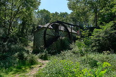
Le Moulin de Keriolet / The Keriolet Mill - Photo of Plouhinec
Le Moulin de Keriolet / The Keriolet Mill

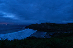
Crépuscule sur la Pointe du Millier / Twilight on the Pointe du Millier - Photo of Plouhinec
Crépuscule sur la Pointe du Millier / Twilight on the Pointe du Millier

Ce phare finistérien avait (littéralement) du nez, jusqu’au 14 octobre - Photo of Plouhinec
Ce phare finistérien avait (littéralement) du nez, jusqu’au 14 octobre

Pointe du Raz en Concarneau – 6 augustus 2020 - Photo of Plouhinec
Pointe du Raz en Concarneau – 6 augustus 2020

Pointe du Raz en Concarneau – 6 augustus 2020 - Photo of Plouhinec
Pointe du Raz en Concarneau – 6 augustus 2020

Pointe du Raz en Concarneau – 6 augustus 2020 - Photo of Plouhinec
Pointe du Raz en Concarneau – 6 augustus 2020

L-Annonciation (Chapelle Notre-Dame de Penhors, Pouldreuzic) - Photo of Plouhinec
L-Annonciation (Chapelle Notre-Dame de Penhors, Pouldreuzic)

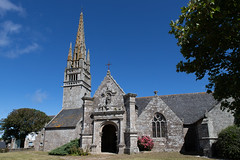
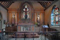
La Chapelle Notre-Dame de Penhors (Pouldreuzic, Bretagne) - Photo of Plouhinec
La Chapelle Notre-Dame de Penhors (Pouldreuzic, Bretagne)

Le Maitre-Autel (Chapelle Notre-Dame de Penhors, Pouldreuzic) - Photo of Plouhinec
Le Maitre-Autel (Chapelle Notre-Dame de Penhors, Pouldreuzic)

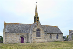
Chapelle Notre-Dame de Penhors (Pouldreuzic) - Photo of Plouhinec
Chapelle Notre-Dame de Penhors (Pouldreuzic)

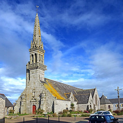
Poullan-sur-Mer, Finistère, France - Photo of Plouhinec
Poullan-sur-Mer, Finistère, France

Confort-Meilars. Finistère. France. - Photo of Plouhinec
Confort-Meilars. Finistère. France.


Plouhinec from the sky


Old photos of the city of Plouhinec

These photos taken near the city of Plouhinec can be shown in full screen clicking on the thumbnails. Photos are copyrighted by their owners.


Other maps, hotels and towns in france


Find another town, zip code, department, region, ...


Quick links Plouhinec :


Back to the menus Map of France :


Make a link to this page of Plouhinec with the following code :


Map of France | Regions | Departments | Cities | Partners | Terms | Contact