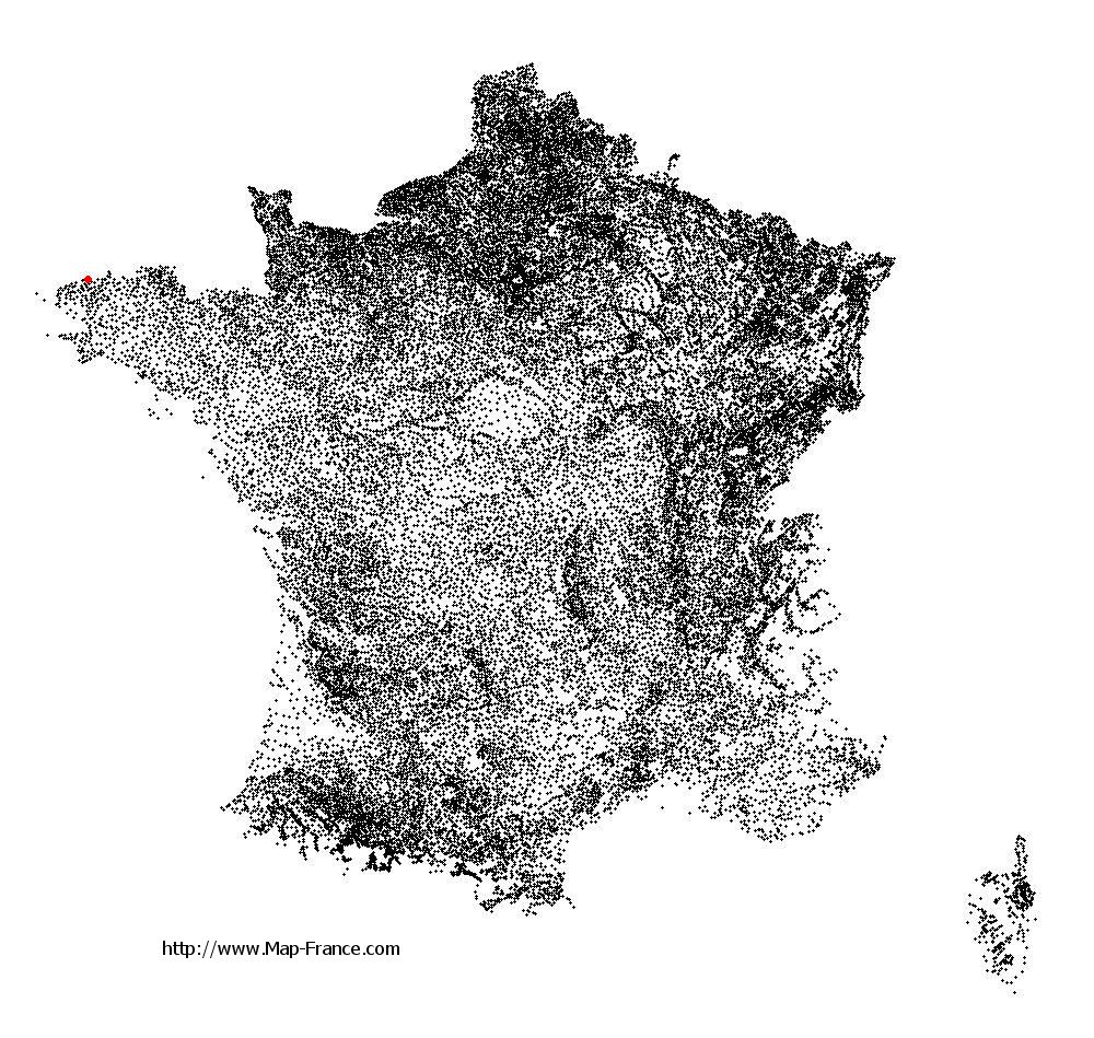
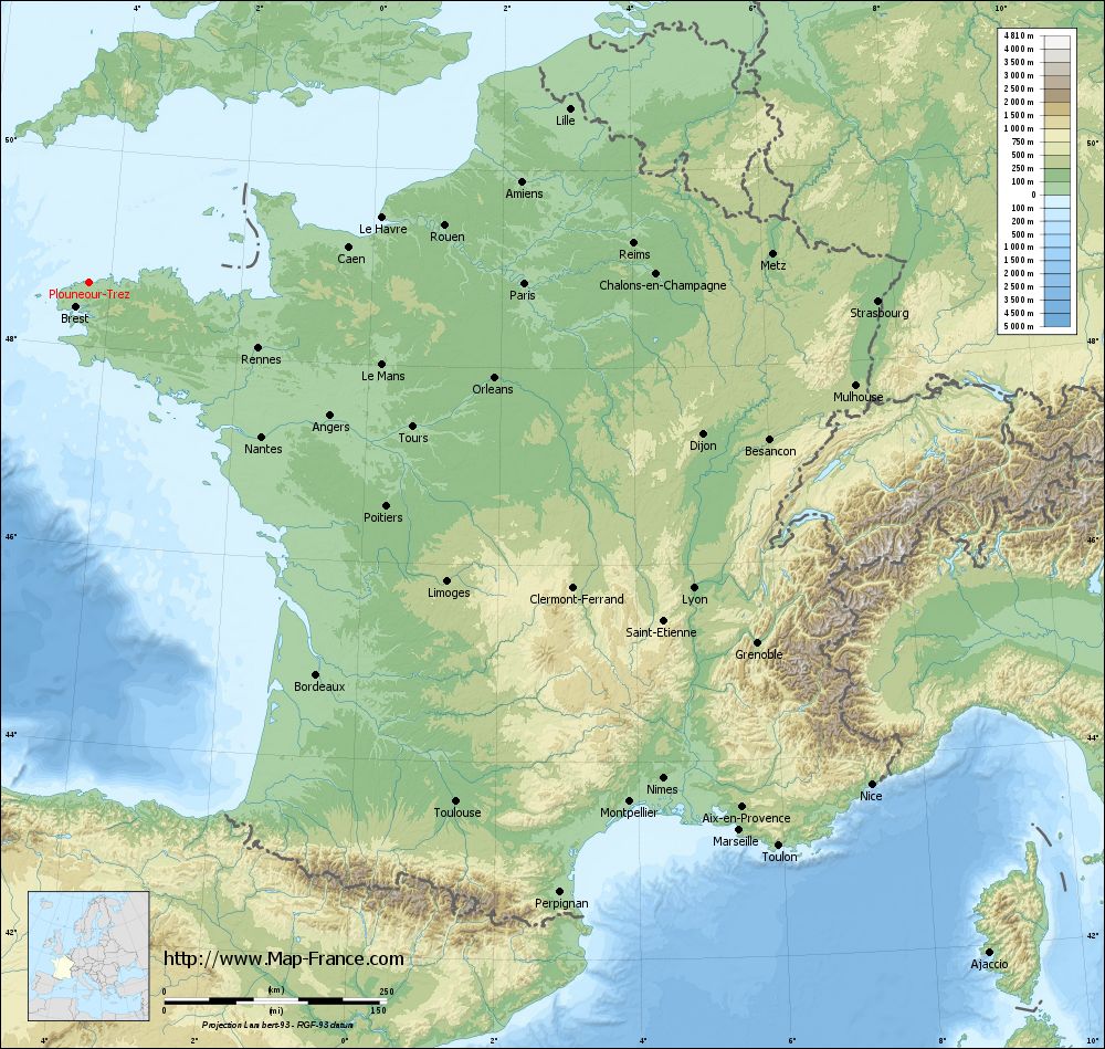
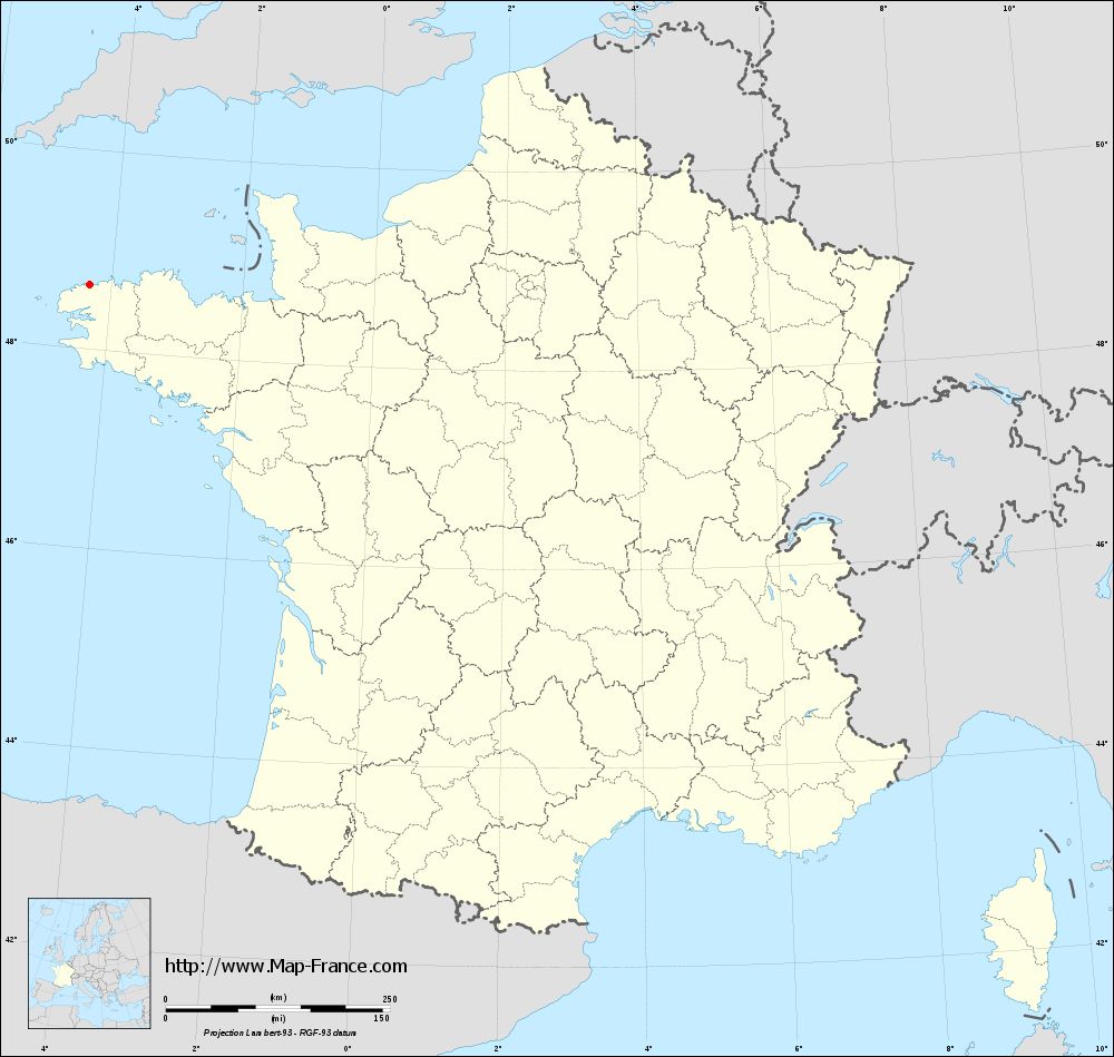
Plounéour-Trez on the relief France map in Lambert 93 coordinates
|
See the map of Plounéour-Trez in full screen (1000 x 949)
|
At left, here is the location of Plounéour-Trez on the relief France map in Lambert 93 coordinates.
Here are the altitudes of Plounéour-Trez :
- Town hall altitude of Plounéour-Trez is 26 meters
- Minimum altitude of Plounéour-Trez is 0 meters
- Maximum altitude of Plounéour-Trez is 64 meters
- Medium altitude of Plounéour-Trez is 32 meters
Here are the altitudes of Quimper, prefecture of Finistère department:
- Town hall altitude of Quimper is 30 meters
- Minimum altitude of Quimper is -5 meters
- Maximum altitude of Quimper is 151 meters
- Medium altitude of Quimper is 73 meters
Here are the altitudes of the french biggest cities:
Paris : 33 meters
Marseille : 20 meters
Lyon : 237 meters
Toulouse : 146 meters
Nice : 10 meters
Nantes : 20 meters
Strasbourg : 144 meters
Montpellier : 35 meters
Bordeaux : 16 meters
Lille : 20 meters
Rennes : 35 meters
Reims : 83 meters
Click here for the terrain map of Plounéour-Trez in full screen:
Relief map of Plounéour-Trez
|
This relief map of Plounéour-Trez is reusable and modifiable by making a link to this page of the Map-France.com website or by using the given code :
|
Terrain base map of Plounéour-Trez
|

See the terrain base map of Plounéour-Trez in full screen (1000 x 949)
|
Small relief base map of Plounéour-Trez

|
This base map of Plounéour-Trez is reusable and modifiable by making a link to this page of the Map-France.com website or by using the given code :
|
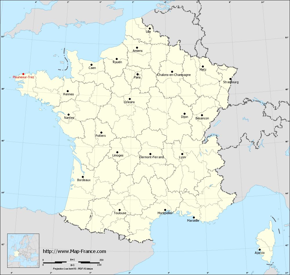
Map of Plounéour-Trez with regions and prefectures
|
View the map of Plounéour-Trez in full screen (1000 x 949)
|
You will find the location of Plounéour-Trez on the map of France of regions in Lambert 93 coordinates. The town of Plounéour-Trez is located in the department of Finistère of the french region Bretagne.
Geographical sexagesimal coordinates / GPS (WGS84):
Latitude: 48° 39' 02'' North
Longitude: 04° 19' 05'' West
Geographical decimal coordinates :
Latitude: 48.651 degrees (48.651° North)
Longitude: -4.314 degrees (4.314° West)
Lambert 93 coordinates :
X: 1 617 hectometers
Y: 68 639 hectometers
Lambert 2 coordinates :
X: 1 101 hectometers
Y: 24 265 hectometers
Below, the geographical coordinates of Quimper, prefecture of the Finistère department:
Geographical sexagesimal coordinates / GPS (WGS84):
Latitude: 47° 59' 45'' North
Longitude: 04° 05' 52'' West
Geographical decimal coordinates :
Latitude: 47.995 degrees (47.995° North)
Longitude: -4.109 degrees (4.109° West)
Lambert 93 coordinates :
X: 1 713 hectometers
Y: 67 899 hectometers
Lambert 2 coordinates :
X: 1 203 hectometers
Y: 23 526 hectometers
|
This map of Plounéour-Trez is reusable and modifiable by making a link to this page of the Map-France.com website or by using the given code :
|
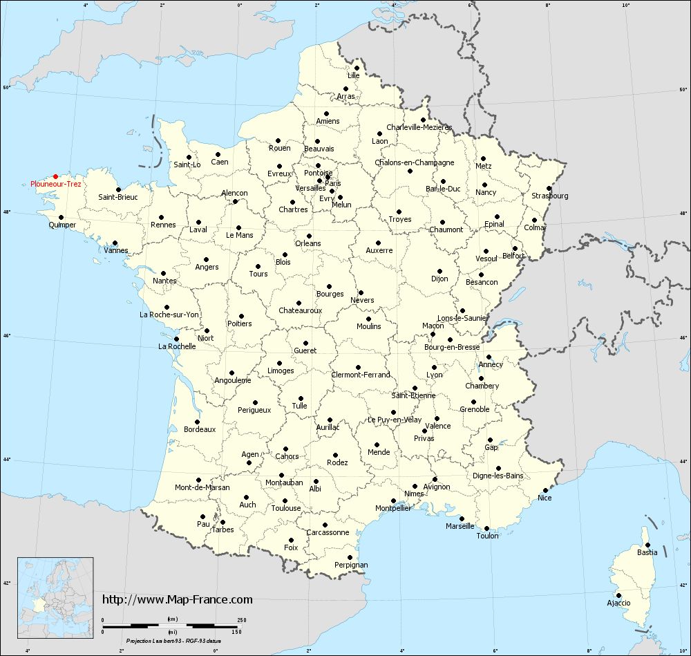
Map of Plounéour-Trez with departments and prefectures
|
Voir la carte of Plounéour-Trez en grand format (1000 x 949)
|
Here is the localization of Plounéour-Trez on the France map of departments in Lambert 93 coordinates. The city of Plounéour-Trez is shown on the map by a red point.
The town of Plounéour-Trez is located in the department of Finistère of the french region Bretagne.
The latitude of Plounéour-Trez is 48.651 degrees North.
The longitude of Plounéour-Trez is 4.314 degrees West.
Here the distance between Plounéour-Trez and the biggest cities of France:
Distances are calculated as the crow flies (orthodromic distance)
Distance between Plounéour-Trez and Paris : 488.26 kilometers
Distance between Plounéour-Trez and Marseille : 956.03 kilometers
Distance between Plounéour-Trez and Lyon : 761 kilometers
Distance between Plounéour-Trez and Toulouse : 715.1 kilometers
Distance between Plounéour-Trez and Nice : 1044.76 kilometers
Distance between Plounéour-Trez and Nantes : 259.83 kilometers
Distance between Plounéour-Trez and Strasbourg : 885.68 kilometers
Distance between Plounéour-Trez and Montpellier : 842.58 kilometers
Distance between Plounéour-Trez and Bordeaux : 509.8 kilometers
Distance between Plounéour-Trez and Lille : 572.95 kilometers
Distance between Plounéour-Trez and Rennes : 203.53 kilometers
Distance between Plounéour-Trez and Reims : 612.31 kilometers
Clic here to see the map of Plounéour-Trez in full screen:
Plounéour-Trez on the map of french departments
|
This administrative map of Plounéour-Trez is reusable and modifiable by making a link to this page of the Map-France.com website or by using the given code :
|
Administrative base maps of Plounéour-Trez
|
See the administrative base map of Plounéour-Trez in full screen (1000 x 949)
|
Small administrative base map of Plounéour-Trez
|
This base map administrative of Plounéour-Trez is reusable and modifiable by making a link to this page of the Map-France.com website or by using the given code :
|
 French Version : http://www.cartesfrance.fr