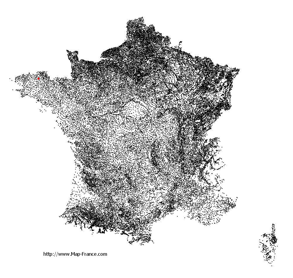
Plounévez-Moëdec on the relief France map in Lambert 93 coordinates
|

See the map of Plounévez-Moëdec in full screen (1000 x 949)
|
At left, here is the location of Plounévez-Moëdec on the relief France map in Lambert 93 coordinates.
Here are the altitudes of Plounévez-Moëdec :
- Town hall altitude of Plounévez-Moëdec is 210 meters
- Minimum altitude of Plounévez-Moëdec is 58 meters
- Maximum altitude of Plounévez-Moëdec is 222 meters
- Medium altitude of Plounévez-Moëdec is 140 meters
Here are the altitudes of Saint-Brieuc, prefecture of Côtes-d'Armor department:
- Town hall altitude of Saint-Brieuc is 100 meters
- Minimum altitude of Saint-Brieuc is 0 meters
- Maximum altitude of Saint-Brieuc is 134 meters
- Medium altitude of Saint-Brieuc is 67 meters
Here are the altitudes of the french biggest cities:
Paris : 33 meters
Marseille : 20 meters
Lyon : 237 meters
Toulouse : 146 meters
Nice : 10 meters
Nantes : 20 meters
Strasbourg : 144 meters
Montpellier : 35 meters
Bordeaux : 16 meters
Lille : 20 meters
Rennes : 35 meters
Reims : 83 meters
Click here for the terrain map of Plounévez-Moëdec in full screen:
Relief map of Plounévez-Moëdec
|
This relief map of Plounévez-Moëdec is reusable and modifiable by making a link to this page of the Map-France.com website or by using the given code :
|
Terrain base map of Plounévez-Moëdec
|

See the terrain base map of Plounévez-Moëdec in full screen (1000 x 949)
|
Small relief base map of Plounévez-Moëdec

|
This base map of Plounévez-Moëdec is reusable and modifiable by making a link to this page of the Map-France.com website or by using the given code :
|
Map of Plounévez-Moëdec with regions and prefectures
|
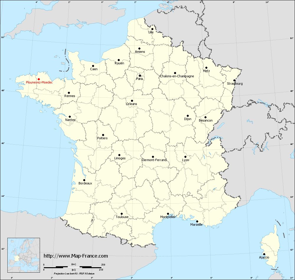
View the map of Plounévez-Moëdec in full screen (1000 x 949)
|
You will find the location of Plounévez-Moëdec on the map of France of regions in Lambert 93 coordinates. The town of Plounévez-Moëdec is located in the department of Côtes-d'Armor of the french region Bretagne.
Geographical sexagesimal coordinates / GPS (WGS84):
Latitude: 48° 33' 23'' North
Longitude: 03° 26' 41'' West
Geographical decimal coordinates :
Latitude: 48.556 degrees (48.556° North)
Longitude: -3.444 degrees (3.444° West)
Lambert 93 coordinates :
X: 2 249 hectometers
Y: 68 479 hectometers
Lambert 2 coordinates :
X: 1 735 hectometers
Y: 24 110 hectometers
Below, the geographical coordinates of Saint-Brieuc, prefecture of the Côtes-d'Armor department:
Geographical sexagesimal coordinates / GPS (WGS84):
Latitude: 48° 30' 49'' North
Longitude: 02° 45' 37'' West
Geographical decimal coordinates :
Latitude: 48.514 degrees (48.514° North)
Longitude: -2.773 degrees (2.773° West)
Lambert 93 coordinates :
X: 2 749 hectometers
Y: 68 392 hectometers
Lambert 2 coordinates :
X: 2 236 hectometers
Y: 24 027 hectometers
|
This map of Plounévez-Moëdec is reusable and modifiable by making a link to this page of the Map-France.com website or by using the given code :
|
Map of Plounévez-Moëdec with departments and prefectures
|
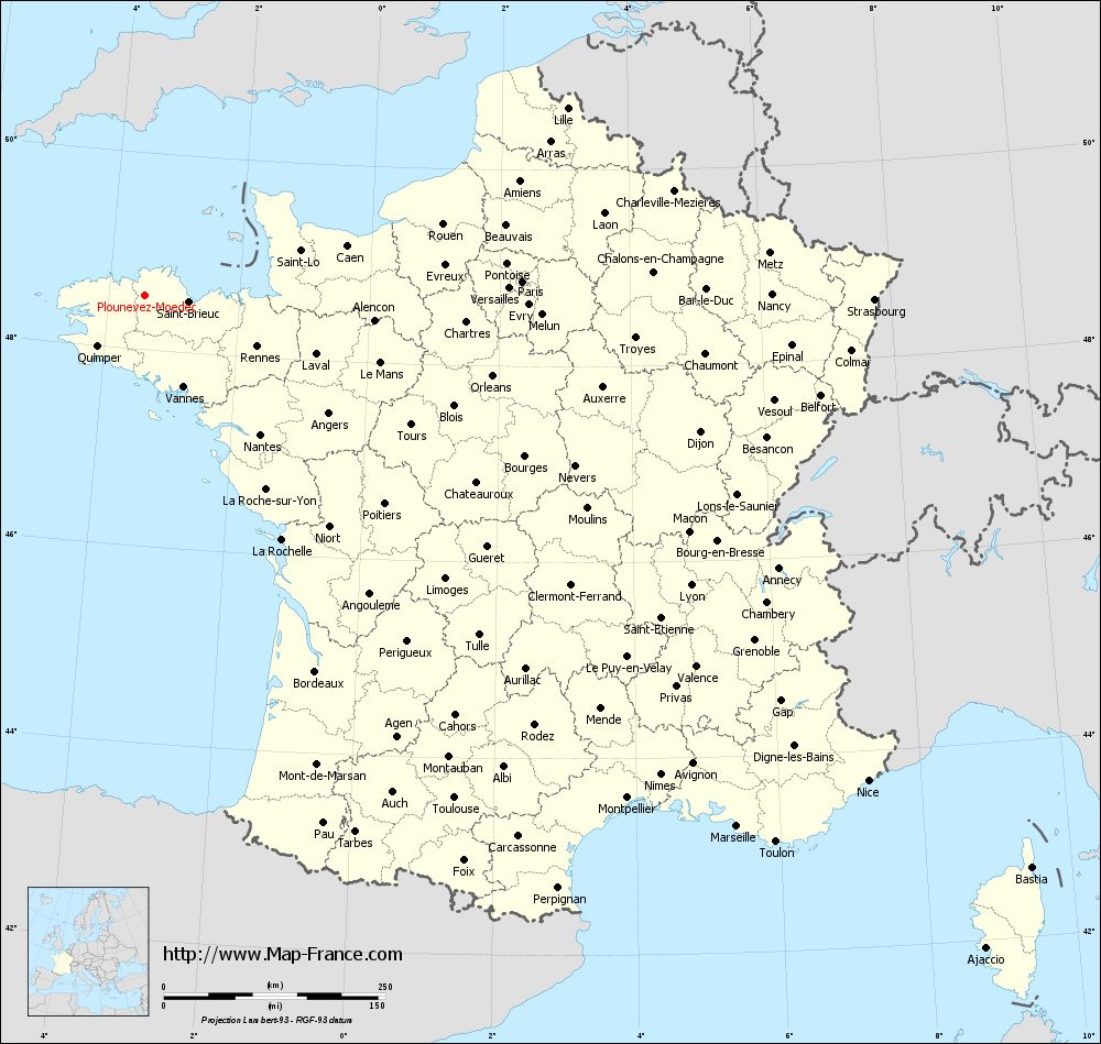
Voir la carte of Plounévez-Moëdec en grand format (1000 x 949)
|
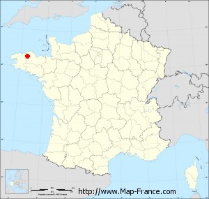
Here is the localization of Plounévez-Moëdec on the France map of departments in Lambert 93 coordinates. The city of Plounévez-Moëdec is shown on the map by a red point.
The town of Plounévez-Moëdec is located in the department of Côtes-d'Armor of the french region Bretagne.
The latitude of Plounévez-Moëdec is 48.556 degrees North.
The longitude of Plounévez-Moëdec is 3.444 degrees West.
Here the distance between Plounévez-Moëdec and the biggest cities of France:
Distances are calculated as the crow flies (orthodromic distance)
Distance between Plounévez-Moëdec and Paris : 425.73 kilometers
Distance between Plounévez-Moëdec and Marseille : 898.12 kilometers
Distance between Plounévez-Moëdec and Lyon : 697.86 kilometers
Distance between Plounévez-Moëdec and Toulouse : 667.15 kilometers
Distance between Plounévez-Moëdec and Nice : 983.46 kilometers
Distance between Plounévez-Moëdec and Nantes : 204.67 kilometers
Distance between Plounévez-Moëdec and Strasbourg : 822.67 kilometers
Distance between Plounévez-Moëdec and Montpellier : 786.86 kilometers
Distance between Plounévez-Moëdec and Bordeaux : 466.8 kilometers
Distance between Plounévez-Moëdec and Lille : 520.7 kilometers
Distance between Plounévez-Moëdec and Rennes : 139.46 kilometers
Distance between Plounévez-Moëdec and Reims : 551.22 kilometers
Clic here to see the map of Plounévez-Moëdec in full screen:
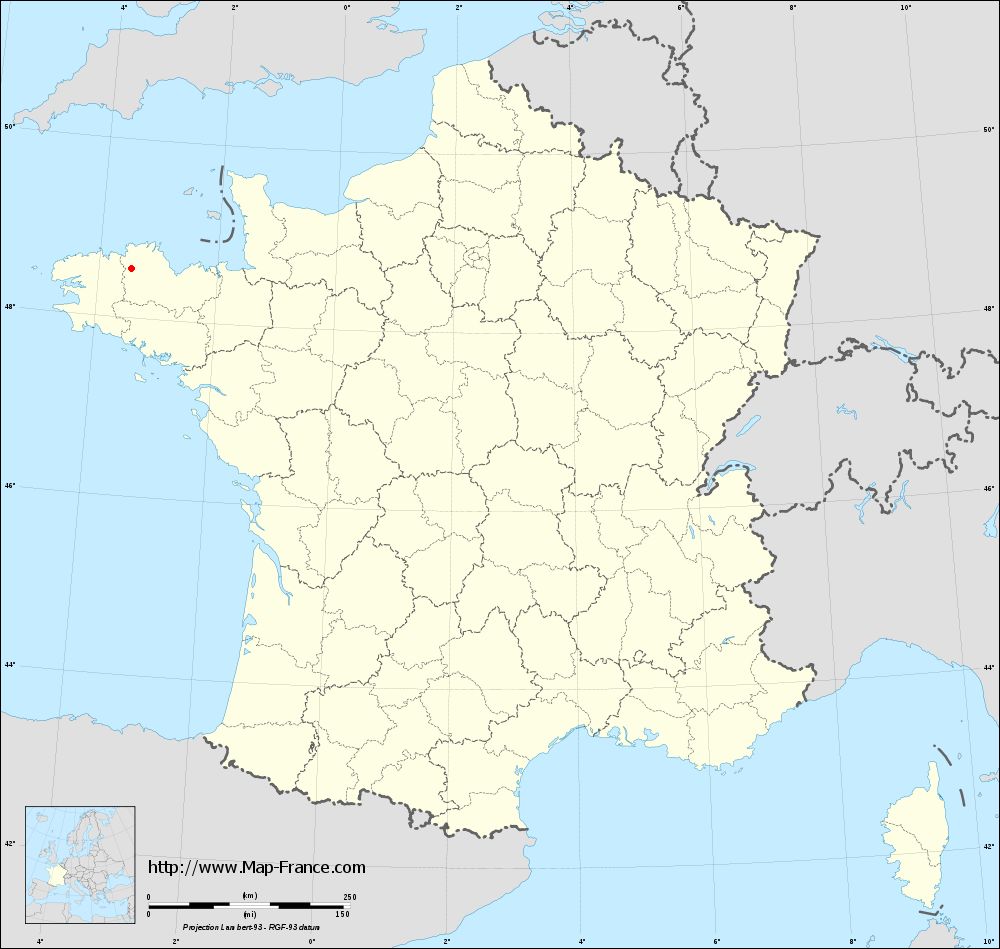
Plounévez-Moëdec on the map of french departments
|
This administrative map of Plounévez-Moëdec is reusable and modifiable by making a link to this page of the Map-France.com website or by using the given code :
|
Administrative base maps of Plounévez-Moëdec
|
See the administrative base map of Plounévez-Moëdec in full screen (1000 x 949)
|
Small administrative base map of Plounévez-Moëdec
|
This base map administrative of Plounévez-Moëdec is reusable and modifiable by making a link to this page of the Map-France.com website or by using the given code :
|
 French Version : http://www.cartesfrance.fr