Pommiers-la-Placette on the relief France map in Lambert 93 coordinates
|
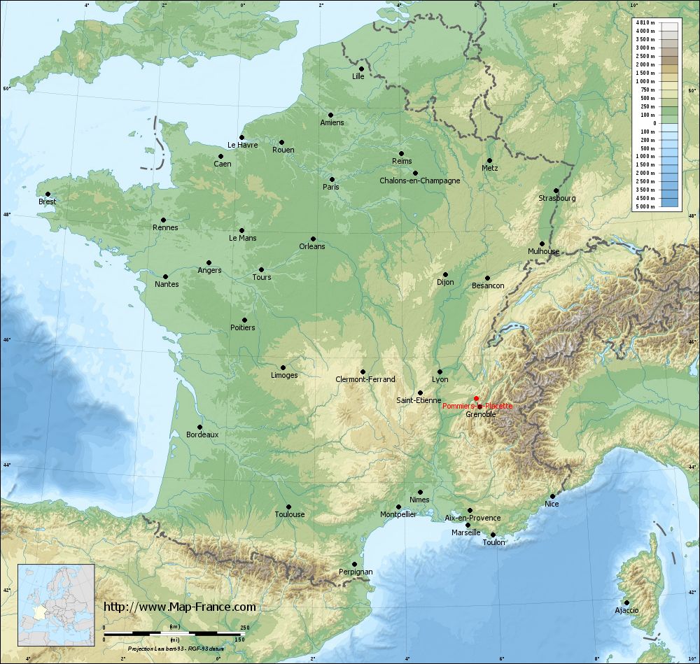
See the map of Pommiers-la-Placette in full screen (1000 x 949)
|
At left, here is the location of Pommiers-la-Placette on the relief France map in Lambert 93 coordinates.
Here are the altitudes of Pommiers-la-Placette :
- Town hall altitude of Pommiers-la-Placette is 520 meters
- Minimum altitude of Pommiers-la-Placette is 344 meters
- Maximum altitude of Pommiers-la-Placette is 1 849 meters
- Medium altitude of Pommiers-la-Placette is 1 097 meters
Here are the altitudes of Grenoble, prefecture of Isère department:
- Town hall altitude of Grenoble is 212 meters
- Minimum altitude of Grenoble is 204 meters
- Maximum altitude of Grenoble is 600 meters
- Medium altitude of Grenoble is 402 meters
Here are the altitudes of the french biggest cities:
Paris : 33 meters
Marseille : 20 meters
Lyon : 237 meters
Toulouse : 146 meters
Nice : 10 meters
Nantes : 20 meters
Strasbourg : 144 meters
Montpellier : 35 meters
Bordeaux : 16 meters
Lille : 20 meters
Rennes : 35 meters
Reims : 83 meters
Click here for the terrain map of Pommiers-la-Placette in full screen:
Relief map of Pommiers-la-Placette
|
This relief map of Pommiers-la-Placette is reusable and modifiable by making a link to this page of the Map-France.com website or by using the given code :
|
Terrain base map of Pommiers-la-Placette
|

See the terrain base map of Pommiers-la-Placette in full screen (1000 x 949)
|
Small relief base map of Pommiers-la-Placette

|
This base map of Pommiers-la-Placette is reusable and modifiable by making a link to this page of the Map-France.com website or by using the given code :
|
Map of Pommiers-la-Placette with regions and prefectures
|
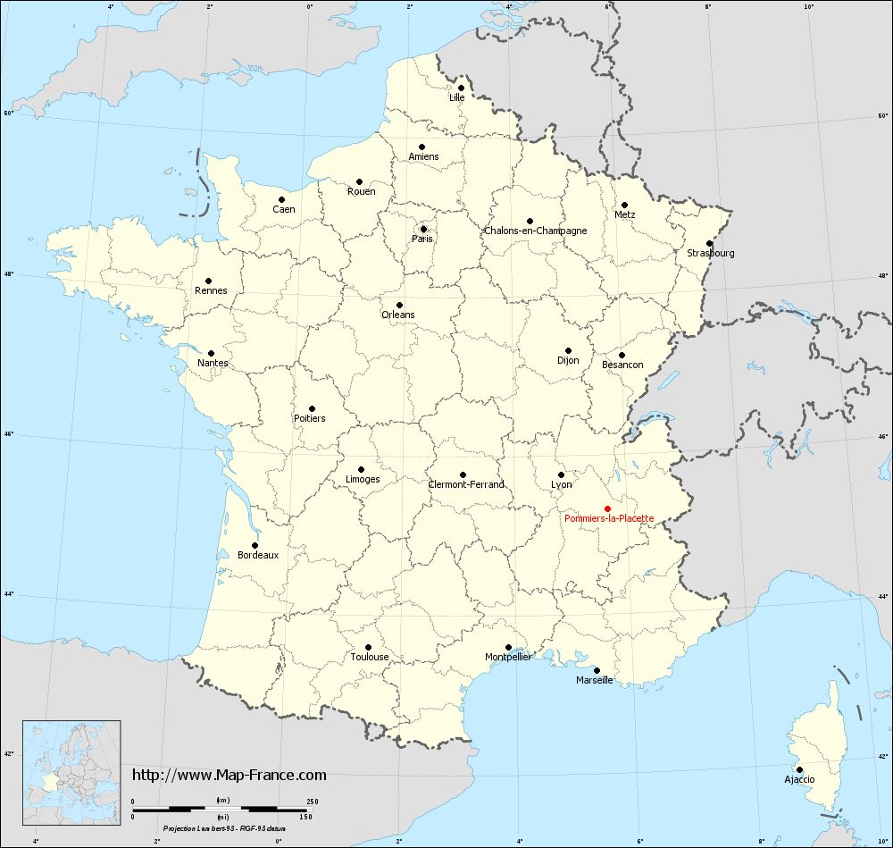
View the map of Pommiers-la-Placette in full screen (1000 x 949)
|
You will find the location of Pommiers-la-Placette on the map of France of regions in Lambert 93 coordinates. The town of Pommiers-la-Placette is located in the department of Isère of the french region Rhône-Alpes.
Geographical sexagesimal coordinates / GPS (WGS84):
Latitude: 45° 19' 03'' North
Longitude: 05° 39' 26'' East
Geographical decimal coordinates :
Latitude: 45.319 degrees (45.319° North)
Longitude: 5.66 degrees (5.66° East)
Lambert 93 coordinates :
X: 9 082 hectometers
Y: 64 722 hectometers
Lambert 2 coordinates :
X: 8 604 hectometers
Y: 20 407 hectometers
Below, the geographical coordinates of Grenoble, prefecture of the Isère department:
Geographical sexagesimal coordinates / GPS (WGS84):
Latitude: 45° 11' 13'' North
Longitude: 05° 43' 35'' East
Geographical decimal coordinates :
Latitude: 45.185 degrees (45.185° North)
Longitude: 5.723 degrees (5.723° East)
Lambert 93 coordinates :
X: 9 141 hectometers
Y: 64 579 hectometers
Lambert 2 coordinates :
X: 8 664 hectometers
Y: 20 264 hectometers
|
This map of Pommiers-la-Placette is reusable and modifiable by making a link to this page of the Map-France.com website or by using the given code :
|
Map of Pommiers-la-Placette with departments and prefectures
|
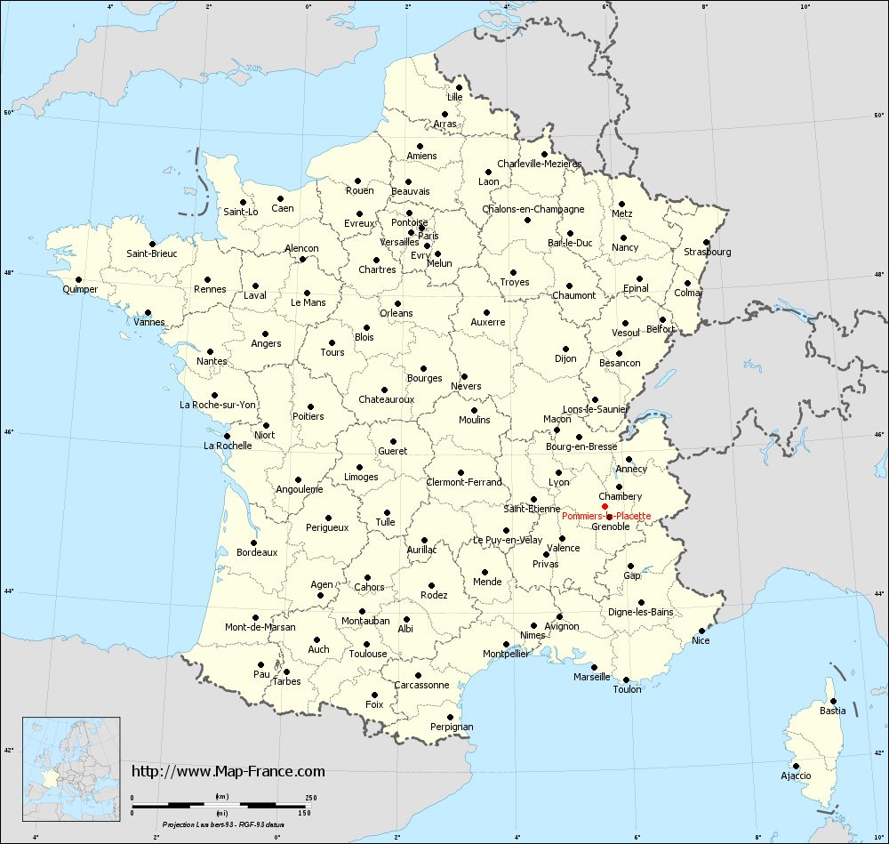
Voir la carte of Pommiers-la-Placette en grand format (1000 x 949)
|
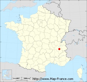
Here is the localization of Pommiers-la-Placette on the France map of departments in Lambert 93 coordinates. The city of Pommiers-la-Placette is shown on the map by a red point.
The town of Pommiers-la-Placette is located in the department of Isère of the french region Rhône-Alpes.
The latitude of Pommiers-la-Placette is 45.319 degrees North.
The longitude of Pommiers-la-Placette is 5.66 degrees East.
Here the distance between Pommiers-la-Placette and the biggest cities of France:
Distances are calculated as the crow flies (orthodromic distance)
Distance between Pommiers-la-Placette and Paris : 466.44 kilometers
Distance between Pommiers-la-Placette and Marseille : 225.6 kilometers
Distance between Pommiers-la-Placette and Lyon : 80.71 kilometers
Distance between Pommiers-la-Placette and Toulouse : 384.54 kilometers
Distance between Pommiers-la-Placette and Nice : 219.65 kilometers
Distance between Pommiers-la-Placette and Nantes : 592.6 kilometers
Distance between Pommiers-la-Placette and Strasbourg : 396.03 kilometers
Distance between Pommiers-la-Placette and Montpellier : 236.98 kilometers
Distance between Pommiers-la-Placette and Bordeaux : 491.86 kilometers
Distance between Pommiers-la-Placette and Lille : 620.96 kilometers
Distance between Pommiers-la-Placette and Rennes : 638.86 kilometers
Distance between Pommiers-la-Placette and Reims : 454.46 kilometers
Clic here to see the map of Pommiers-la-Placette in full screen:
Pommiers-la-Placette on the map of french departments
|
This administrative map of Pommiers-la-Placette is reusable and modifiable by making a link to this page of the Map-France.com website or by using the given code :
|
Administrative base maps of Pommiers-la-Placette
|

See the administrative base map of Pommiers-la-Placette in full screen (1000 x 949)
|
Small administrative base map of Pommiers-la-Placette
|
This base map administrative of Pommiers-la-Placette is reusable and modifiable by making a link to this page of the Map-France.com website or by using the given code :
|
 French Version : http://www.cartesfrance.fr