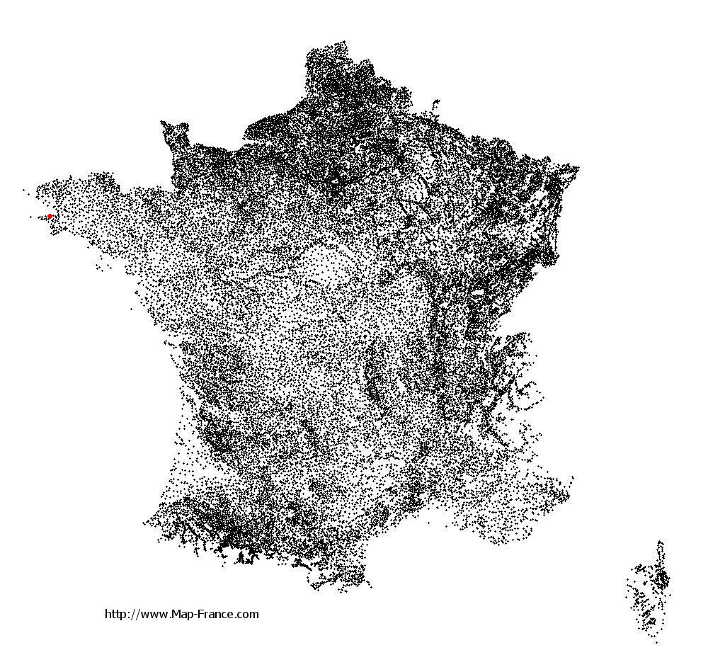
Poullan-sur-Mer on the relief France map in Lambert 93 coordinates
|

See the map of Poullan-sur-Mer in full screen (1000 x 949)
|
At left, here is the location of Poullan-sur-Mer on the relief France map in Lambert 93 coordinates.
Here are the altitudes of Poullan-sur-Mer :
- Town hall altitude of Poullan-sur-Mer is 80 meters
- Minimum altitude of Poullan-sur-Mer is 0 meters
- Maximum altitude of Poullan-sur-Mer is 101 meters
- Medium altitude of Poullan-sur-Mer is 51 meters
Here are the altitudes of Quimper, prefecture of Finistère department:
- Town hall altitude of Quimper is 30 meters
- Minimum altitude of Quimper is -5 meters
- Maximum altitude of Quimper is 151 meters
- Medium altitude of Quimper is 73 meters
Here are the altitudes of the french biggest cities:
Paris : 33 meters
Marseille : 20 meters
Lyon : 237 meters
Toulouse : 146 meters
Nice : 10 meters
Nantes : 20 meters
Strasbourg : 144 meters
Montpellier : 35 meters
Bordeaux : 16 meters
Lille : 20 meters
Rennes : 35 meters
Reims : 83 meters
Click here for the terrain map of Poullan-sur-Mer in full screen:
Relief map of Poullan-sur-Mer
|
This relief map of Poullan-sur-Mer is reusable and modifiable by making a link to this page of the Map-France.com website or by using the given code :
|
Terrain base map of Poullan-sur-Mer
|

See the terrain base map of Poullan-sur-Mer in full screen (1000 x 949)
|
Small relief base map of Poullan-sur-Mer

|
This base map of Poullan-sur-Mer is reusable and modifiable by making a link to this page of the Map-France.com website or by using the given code :
|
Map of Poullan-sur-Mer with regions and prefectures
|
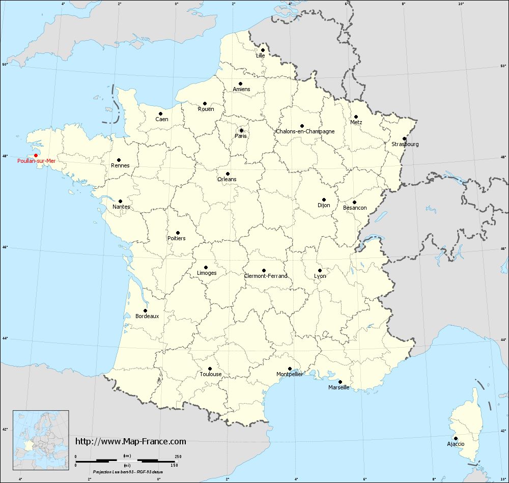
View the map of Poullan-sur-Mer in full screen (1000 x 949)
|
You will find the location of Poullan-sur-Mer on the map of France of regions in Lambert 93 coordinates. The town of Poullan-sur-Mer is located in the department of Finistère of the french region Bretagne.
Geographical sexagesimal coordinates / GPS (WGS84):
Latitude: 48° 04' 51'' North
Longitude: 04° 24' 48'' West
Geographical decimal coordinates :
Latitude: 48.08 degrees (48.08° North)
Longitude: -4.413 degrees (4.413° West)
Lambert 93 coordinates :
X: 1 488 hectometers
Y: 68 015 hectometers
Lambert 2 coordinates :
X: 976 hectometers
Y: 23 640 hectometers
Below, the geographical coordinates of Quimper, prefecture of the Finistère department:
Geographical sexagesimal coordinates / GPS (WGS84):
Latitude: 47° 59' 45'' North
Longitude: 04° 05' 52'' West
Geographical decimal coordinates :
Latitude: 47.995 degrees (47.995° North)
Longitude: -4.109 degrees (4.109° West)
Lambert 93 coordinates :
X: 1 713 hectometers
Y: 67 899 hectometers
Lambert 2 coordinates :
X: 1 203 hectometers
Y: 23 526 hectometers
|
This map of Poullan-sur-Mer is reusable and modifiable by making a link to this page of the Map-France.com website or by using the given code :
|
Map of Poullan-sur-Mer with departments and prefectures
|
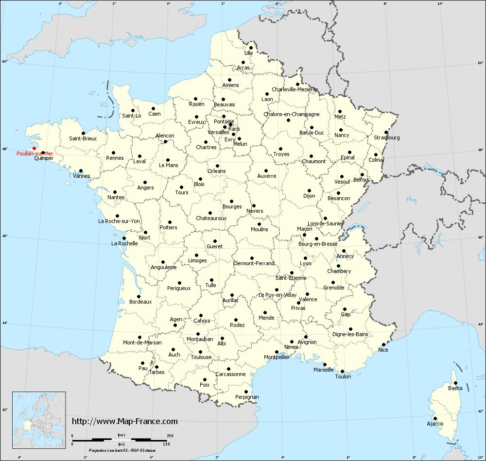
Voir la carte of Poullan-sur-Mer en grand format (1000 x 949)
|
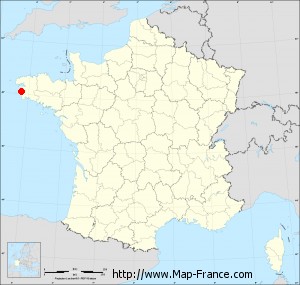
Here is the localization of Poullan-sur-Mer on the France map of departments in Lambert 93 coordinates. The city of Poullan-sur-Mer is shown on the map by a red point.
The town of Poullan-sur-Mer is located in the department of Finistère of the french region Bretagne.
The latitude of Poullan-sur-Mer is 48.08 degrees North.
The longitude of Poullan-sur-Mer is 4.413 degrees West.
Here the distance between Poullan-sur-Mer and the biggest cities of France:
Distances are calculated as the crow flies (orthodromic distance)
Distance between Poullan-sur-Mer and Paris : 505.19 kilometers
Distance between Poullan-sur-Mer and Marseille : 927.48 kilometers
Distance between Poullan-sur-Mer and Lyon : 747.05 kilometers
Distance between Poullan-sur-Mer and Toulouse : 673.19 kilometers
Distance between Poullan-sur-Mer and Nice : 1023.8 kilometers
Distance between Poullan-sur-Mer and Nantes : 234.36 kilometers
Distance between Poullan-sur-Mer and Strasbourg : 899.63 kilometers
Distance between Poullan-sur-Mer and Montpellier : 810.51 kilometers
Distance between Poullan-sur-Mer and Bordeaux : 464.22 kilometers
Distance between Poullan-sur-Mer and Lille : 609.07 kilometers
Distance between Poullan-sur-Mer and Rennes : 202.79 kilometers
Distance between Poullan-sur-Mer and Reims : 632.91 kilometers
Clic here to see the map of Poullan-sur-Mer in full screen:
Poullan-sur-Mer on the map of french departments
|
This administrative map of Poullan-sur-Mer is reusable and modifiable by making a link to this page of the Map-France.com website or by using the given code :
|
Administrative base maps of Poullan-sur-Mer
|
See the administrative base map of Poullan-sur-Mer in full screen (1000 x 949)
|
Small administrative base map of Poullan-sur-Mer
|
This base map administrative of Poullan-sur-Mer is reusable and modifiable by making a link to this page of the Map-France.com website or by using the given code :
|
 French Version : http://www.cartesfrance.fr