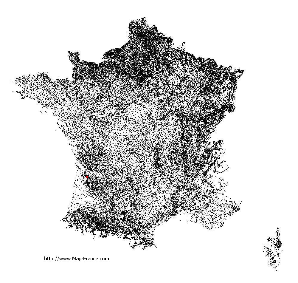
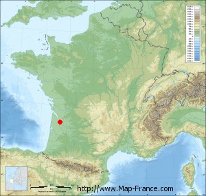
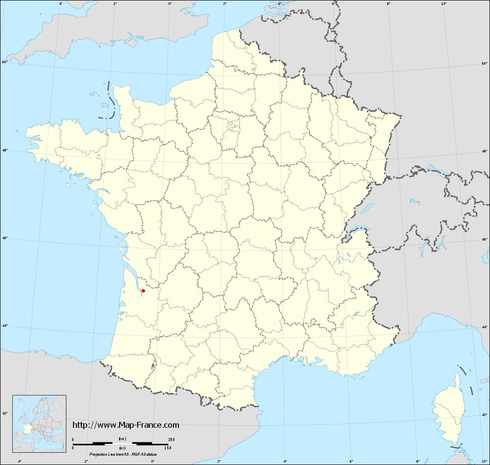
Prignac-et-Marcamps on the relief France map in Lambert 93 coordinates
|

See the map of Prignac-et-Marcamps in full screen (1000 x 949)
|
At left, here is the location of Prignac-et-Marcamps on the relief France map in Lambert 93 coordinates.
Here are the altitudes of Prignac-et-Marcamps :
- Town hall altitude of Prignac-et-Marcamps is 30 meters
- Minimum altitude of Prignac-et-Marcamps is 2 meters
- Maximum altitude of Prignac-et-Marcamps is 42 meters
- Medium altitude of Prignac-et-Marcamps is 22 meters
Here are the altitudes of Bordeaux, prefecture of Gironde department:
- Town hall altitude of Bordeaux is 16 meters
- Minimum altitude of Bordeaux is 1 meters
- Maximum altitude of Bordeaux is 42 meters
- Medium altitude of Bordeaux is 22 meters
Here are the altitudes of the french biggest cities:
Paris : 33 meters
Marseille : 20 meters
Lyon : 237 meters
Toulouse : 146 meters
Nice : 10 meters
Nantes : 20 meters
Strasbourg : 144 meters
Montpellier : 35 meters
Bordeaux : 16 meters
Lille : 20 meters
Rennes : 35 meters
Reims : 83 meters
Click here for the terrain map of Prignac-et-Marcamps in full screen:
Relief map of Prignac-et-Marcamps
|
This relief map of Prignac-et-Marcamps is reusable and modifiable by making a link to this page of the Map-France.com website or by using the given code :
|
Terrain base map of Prignac-et-Marcamps
|

See the terrain base map of Prignac-et-Marcamps in full screen (1000 x 949)
|
Small relief base map of Prignac-et-Marcamps
|
This base map of Prignac-et-Marcamps is reusable and modifiable by making a link to this page of the Map-France.com website or by using the given code :
|
Map of Prignac-et-Marcamps with regions and prefectures
|
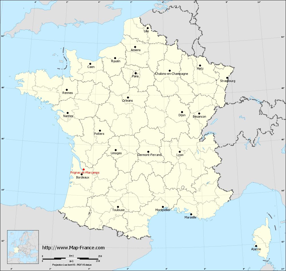
View the map of Prignac-et-Marcamps in full screen (1000 x 949)
|
You will find the location of Prignac-et-Marcamps on the map of France of regions in Lambert 93 coordinates. The town of Prignac-et-Marcamps is located in the department of Gironde of the french region Aquitaine.
Geographical sexagesimal coordinates / GPS (WGS84):
Latitude: 45° 01' 57'' North
Longitude: 00° 29' 36'' West
Geographical decimal coordinates :
Latitude: 45.034 degrees (45.034° North)
Longitude: -0.493 degrees (0.493° West)
Lambert 93 coordinates :
X: 4 250 hectometers
Y: 64 431 hectometers
Lambert 2 coordinates :
X: 3 770 hectometers
Y: 20 075 hectometers
Below, the geographical coordinates of Bordeaux, prefecture of the Gironde department:
Geographical sexagesimal coordinates / GPS (WGS84):
Latitude: 44° 50' 16'' North
Longitude: 00° 34' 46'' West
Geographical decimal coordinates :
Latitude: 44.843 degrees (44.843° North)
Longitude: -0.575 degrees (0.575° West)
Lambert 93 coordinates :
X: 4 172 hectometers
Y: 64 218 hectometers
Lambert 2 coordinates :
X: 3 694 hectometers
Y: 19 862 hectometers
|
This map of Prignac-et-Marcamps is reusable and modifiable by making a link to this page of the Map-France.com website or by using the given code :
|
Map of Prignac-et-Marcamps with departments and prefectures
|
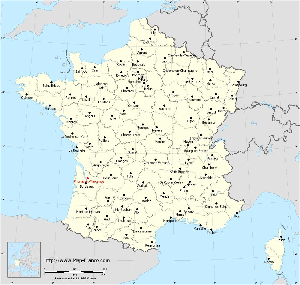
Voir la carte of Prignac-et-Marcamps en grand format (1000 x 949)
|
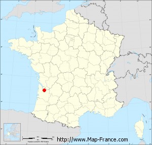
Here is the localization of Prignac-et-Marcamps on the France map of departments in Lambert 93 coordinates. The city of Prignac-et-Marcamps is shown on the map by a red point.
The town of Prignac-et-Marcamps is located in the department of Gironde of the french region Aquitaine.
The latitude of Prignac-et-Marcamps is 45.034 degrees North.
The longitude of Prignac-et-Marcamps is 0.493 degrees West.
Here the distance between Prignac-et-Marcamps and the biggest cities of France:
Distances are calculated as the crow flies (orthodromic distance)
Distance between Prignac-et-Marcamps and Paris : 476.55 kilometers
Distance between Prignac-et-Marcamps and Marseille : 507.55 kilometers
Distance between Prignac-et-Marcamps and Lyon : 423.34 kilometers
Distance between Prignac-et-Marcamps and Toulouse : 221.88 kilometers
Distance between Prignac-et-Marcamps and Nice : 633.09 kilometers
Distance between Prignac-et-Marcamps and Nantes : 256.19 kilometers
Distance between Prignac-et-Marcamps and Strasbourg : 740.42 kilometers
Distance between Prignac-et-Marcamps and Montpellier : 381.47 kilometers
Distance between Prignac-et-Marcamps and Bordeaux : 22.13 kilometers
Distance between Prignac-et-Marcamps and Lille : 675.07 kilometers
Distance between Prignac-et-Marcamps and Rennes : 353.38 kilometers
Distance between Prignac-et-Marcamps and Reims : 580.46 kilometers
Clic here to see the map of Prignac-et-Marcamps in full screen:
Prignac-et-Marcamps on the map of french departments
|
This administrative map of Prignac-et-Marcamps is reusable and modifiable by making a link to this page of the Map-France.com website or by using the given code :
|
Administrative base maps of Prignac-et-Marcamps
|
See the administrative base map of Prignac-et-Marcamps in full screen (1000 x 949)
|
Small administrative base map of Prignac-et-Marcamps
|
This base map administrative of Prignac-et-Marcamps is reusable and modifiable by making a link to this page of the Map-France.com website or by using the given code :
|
 French Version : http://www.cartesfrance.fr