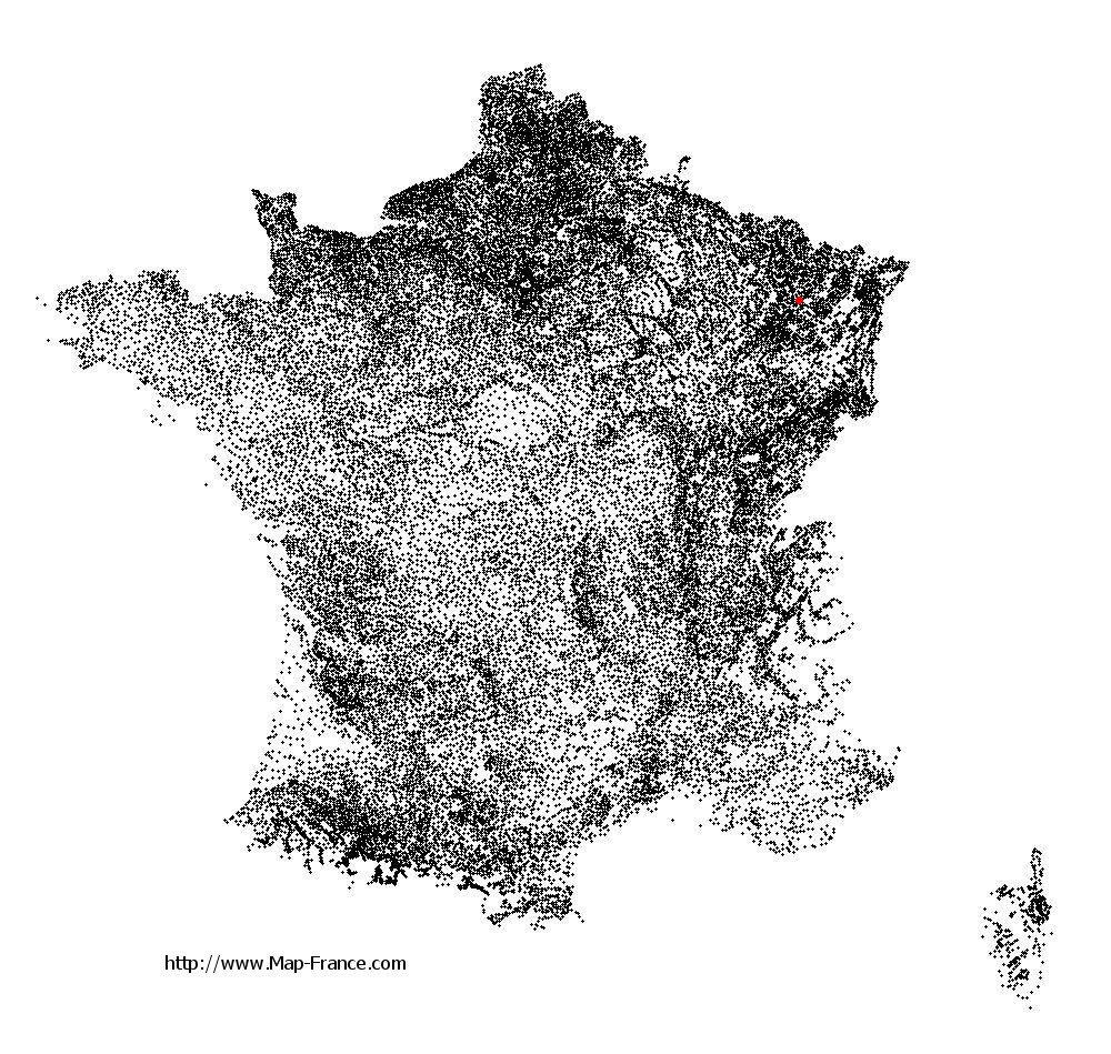
Raville-sur-Sânon on the relief France map in Lambert 93 coordinates
|

See the map of Raville-sur-Sânon in full screen (1000 x 949)
|
At left, here is the location of Raville-sur-Sânon on the relief France map in Lambert 93 coordinates.
Here are the altitudes of Raville-sur-Sânon :
- Town hall altitude of Raville-sur-Sânon is 230 meters
- Minimum altitude of Raville-sur-Sânon is 217 meters
- Maximum altitude of Raville-sur-Sânon is 274 meters
- Medium altitude of Raville-sur-Sânon is 246 meters
Here are the altitudes of Nancy, prefecture of Meurthe-et-Moselle department:
- Town hall altitude of Nancy is 222 meters
- Minimum altitude of Nancy is 188 meters
- Maximum altitude of Nancy is 353 meters
- Medium altitude of Nancy is 271 meters
Here are the altitudes of the french biggest cities:
Paris : 33 meters
Marseille : 20 meters
Lyon : 237 meters
Toulouse : 146 meters
Nice : 10 meters
Nantes : 20 meters
Strasbourg : 144 meters
Montpellier : 35 meters
Bordeaux : 16 meters
Lille : 20 meters
Rennes : 35 meters
Reims : 83 meters
Click here for the terrain map of Raville-sur-Sânon in full screen:
Relief map of Raville-sur-Sânon
|
This relief map of Raville-sur-Sânon is reusable and modifiable by making a link to this page of the Map-France.com website or by using the given code :
|
Terrain base map of Raville-sur-Sânon
|

See the terrain base map of Raville-sur-Sânon in full screen (1000 x 949)
|
Small relief base map of Raville-sur-Sânon

|
This base map of Raville-sur-Sânon is reusable and modifiable by making a link to this page of the Map-France.com website or by using the given code :
|
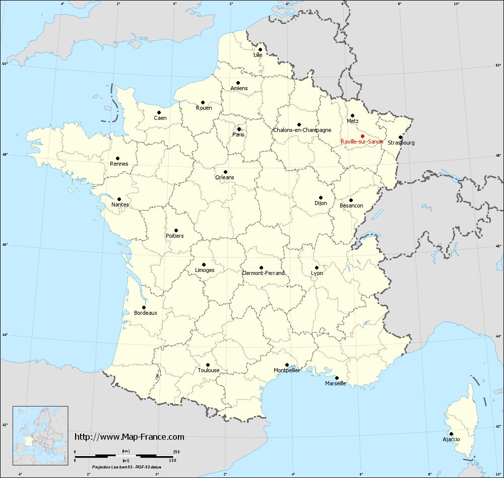
Map of Raville-sur-Sânon with regions and prefectures
|
View the map of Raville-sur-Sânon in full screen (1000 x 949)
|
You will find the location of Raville-sur-Sânon on the map of France of regions in Lambert 93 coordinates. The town of Raville-sur-Sânon is located in the department of Meurthe-et-Moselle of the french region Lorraine.
Geographical sexagesimal coordinates / GPS (WGS84):
Latitude: 48° 39' 03'' North
Longitude: 06° 29' 51'' East
Geographical decimal coordinates :
Latitude: 48.651 degrees (48.651° North)
Longitude: 6.498 degrees (6.498° East)
Lambert 93 coordinates :
X: 9 575 hectometers
Y: 68 447 hectometers
Lambert 2 coordinates :
X: 9 066 hectometers
Y: 24 139 hectometers
Below, the geographical coordinates of Nancy, prefecture of the Meurthe-et-Moselle department:
Geographical sexagesimal coordinates / GPS (WGS84):
Latitude: 48° 41' 34'' North
Longitude: 06° 11' 01'' East
Geographical decimal coordinates :
Latitude: 48.69 degrees (48.69° North)
Longitude: 6.174 degrees (6.174° East)
Lambert 93 coordinates :
X: 9 343 hectometers
Y: 68 483 hectometers
Lambert 2 coordinates :
X: 8 832 hectometers
Y: 24 174 hectometers
|
This map of Raville-sur-Sânon is reusable and modifiable by making a link to this page of the Map-France.com website or by using the given code :
|
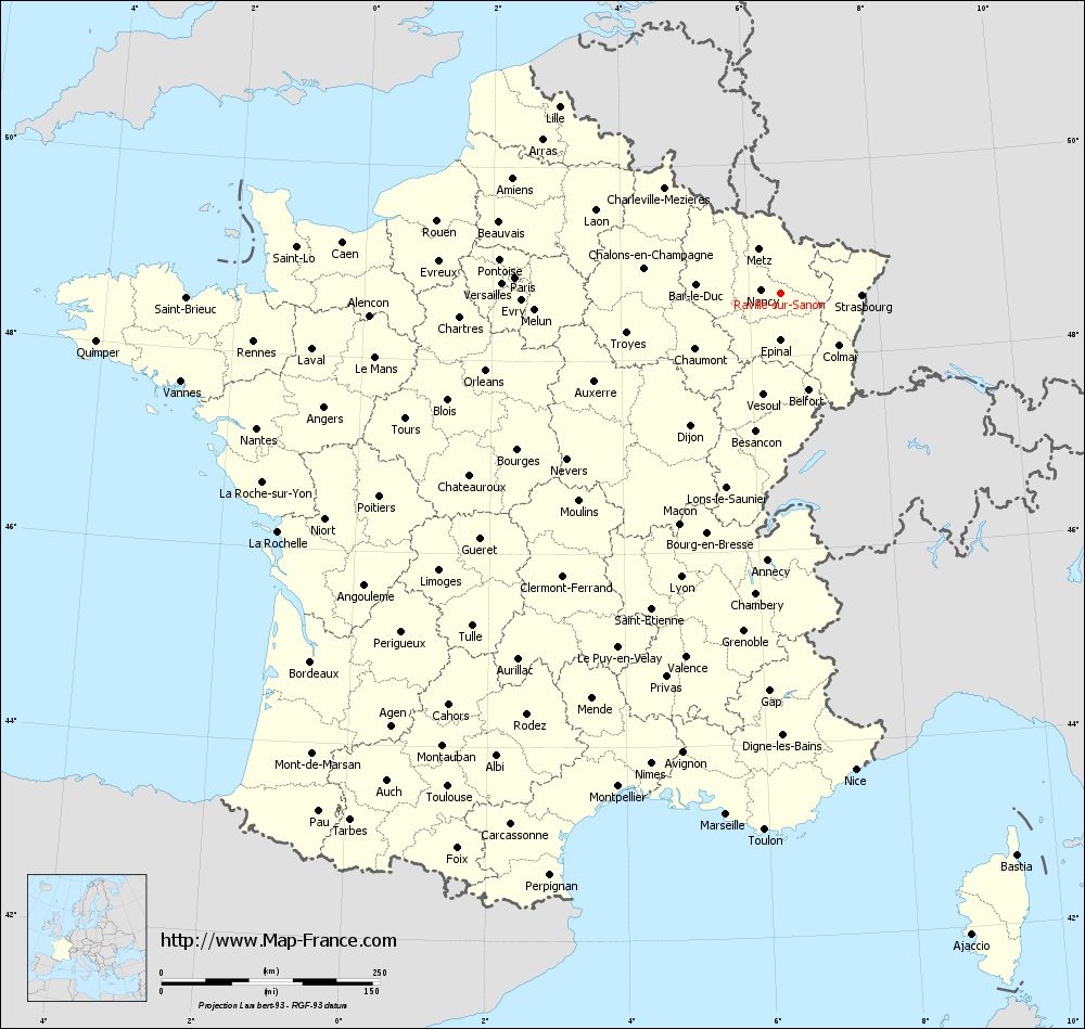
Map of Raville-sur-Sânon with departments and prefectures
|
Voir la carte of Raville-sur-Sânon en grand format (1000 x 949)
|
Here is the localization of Raville-sur-Sânon on the France map of departments in Lambert 93 coordinates. The city of Raville-sur-Sânon is shown on the map by a red point.
The town of Raville-sur-Sânon is located in the department of Meurthe-et-Moselle of the french region Lorraine.
The latitude of Raville-sur-Sânon is 48.651 degrees North.
The longitude of Raville-sur-Sânon is 6.498 degrees East.
Here the distance between Raville-sur-Sânon and the biggest cities of France:
Distances are calculated as the crow flies (orthodromic distance)
Distance between Raville-sur-Sânon and Paris : 304.98 kilometers
Distance between Raville-sur-Sânon and Marseille : 600.82 kilometers
Distance between Raville-sur-Sânon and Lyon : 344.87 kilometers
Distance between Raville-sur-Sânon and Toulouse : 682.33 kilometers
Distance between Raville-sur-Sânon and Nice : 552.55 kilometers
Distance between Raville-sur-Sânon and Nantes : 619.78 kilometers
Distance between Raville-sur-Sânon and Strasbourg : 92.7 kilometers
Distance between Raville-sur-Sânon and Montpellier : 595.44 kilometers
Distance between Raville-sur-Sânon and Bordeaux : 684.32 kilometers
Distance between Raville-sur-Sânon and Lille : 331.56 kilometers
Distance between Raville-sur-Sânon and Rennes : 606.23 kilometers
Distance between Raville-sur-Sânon and Reims : 192.15 kilometers
Clic here to see the map of Raville-sur-Sânon in full screen:
Raville-sur-Sânon on the map of french departments
|
This administrative map of Raville-sur-Sânon is reusable and modifiable by making a link to this page of the Map-France.com website or by using the given code :
|
Administrative base maps of Raville-sur-Sânon
|
See the administrative base map of Raville-sur-Sânon in full screen (1000 x 949)
|
Small administrative base map of Raville-sur-Sânon
|
This base map administrative of Raville-sur-Sânon is reusable and modifiable by making a link to this page of the Map-France.com website or by using the given code :
|
 French Version : http://www.cartesfrance.fr