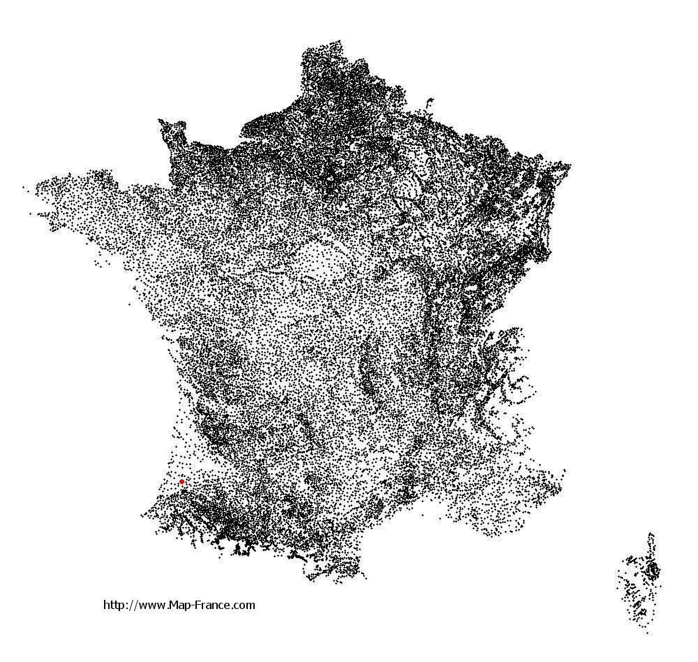
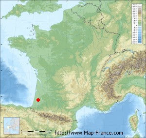
Rion-des-Landes on the relief France map in Lambert 93 coordinates
|

See the map of Rion-des-Landes in full screen (1000 x 949)
|
At left, here is the location of Rion-des-Landes on the relief France map in Lambert 93 coordinates.
Here are the altitudes of Rion-des-Landes :
- Town hall altitude of Rion-des-Landes is 70 meters
- Minimum altitude of Rion-des-Landes is 46 meters
- Maximum altitude of Rion-des-Landes is 103 meters
- Medium altitude of Rion-des-Landes is 75 meters
Here are the altitudes of Mont-de-Marsan, prefecture of Landes department:
- Town hall altitude of Mont-de-Marsan is 52 meters
- Minimum altitude of Mont-de-Marsan is 23 meters
- Maximum altitude of Mont-de-Marsan is 97 meters
- Medium altitude of Mont-de-Marsan is 60 meters
Here are the altitudes of the french biggest cities:
Paris : 33 meters
Marseille : 20 meters
Lyon : 237 meters
Toulouse : 146 meters
Nice : 10 meters
Nantes : 20 meters
Strasbourg : 144 meters
Montpellier : 35 meters
Bordeaux : 16 meters
Lille : 20 meters
Rennes : 35 meters
Reims : 83 meters
Click here for the terrain map of Rion-des-Landes in full screen:
Relief map of Rion-des-Landes
|
This relief map of Rion-des-Landes is reusable and modifiable by making a link to this page of the Map-France.com website or by using the given code :
|
Terrain base map of Rion-des-Landes
|

See the terrain base map of Rion-des-Landes in full screen (1000 x 949)
|
Small relief base map of Rion-des-Landes
|
This base map of Rion-des-Landes is reusable and modifiable by making a link to this page of the Map-France.com website or by using the given code :
|
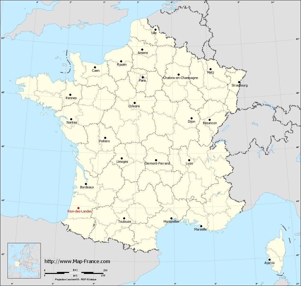
Map of Rion-des-Landes with regions and prefectures
|
View the map of Rion-des-Landes in full screen (1000 x 949)
|
You will find the location of Rion-des-Landes on the map of France of regions in Lambert 93 coordinates. The city of Rion-des-Landes is located in the department of Landes of the french region Aquitaine.
Geographical sexagesimal coordinates / GPS (WGS84):
Latitude: 43° 55' 33'' North
Longitude: 00° 55' 13'' West
Geographical decimal coordinates :
Latitude: 43.936 degrees (43.936° North)
Longitude: -0.921 degrees (0.921° West)
Lambert 93 coordinates :
X: 3 853 hectometers
Y: 63 219 hectometers
Lambert 2 coordinates :
X: 3 382 hectometers
Y: 18 859 hectometers
Below, the geographical coordinates of Mont-de-Marsan, prefecture of the Landes department:
Geographical sexagesimal coordinates / GPS (WGS84):
Latitude: 43° 53' 25'' North
Longitude: 00° 30' 02'' West
Geographical decimal coordinates :
Latitude: 43.891 degrees (43.891° North)
Longitude: -0.501 degrees (0.501° West)
Lambert 93 coordinates :
X: 4 188 hectometers
Y: 63 164 hectometers
Lambert 2 coordinates :
X: 3 718 hectometers
Y: 18 807 hectometers
|
This map of Rion-des-Landes is reusable and modifiable by making a link to this page of the Map-France.com website or by using the given code :
|
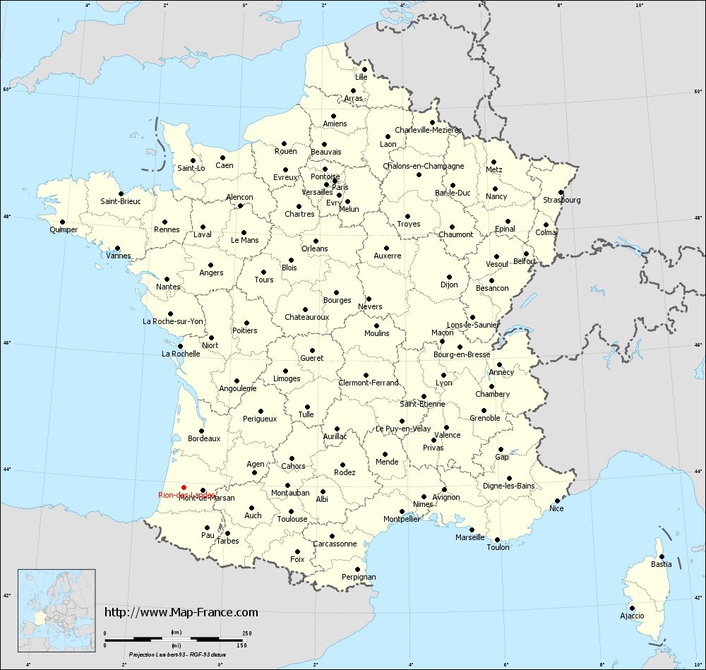
Map of Rion-des-Landes with departments and prefectures
|
Voir la carte of Rion-des-Landes en grand format (1000 x 949)
|
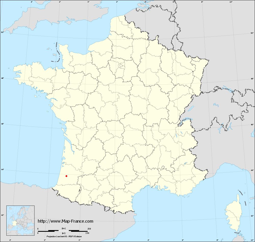
Here is the localization of Rion-des-Landes on the France map of departments in Lambert 93 coordinates. The city of Rion-des-Landes is shown on the map by a red point.
The city of Rion-des-Landes is located in the department of Landes of the french region Aquitaine.
The latitude of Rion-des-Landes is 43.936 degrees North.
The longitude of Rion-des-Landes is 0.921 degrees West.
Here the distance between Rion-des-Landes and the biggest cities of France:
Distances are calculated as the crow flies (orthodromic distance)
Distance between Rion-des-Landes and Paris : 601.59 kilometers
Distance between Rion-des-Landes and Marseille : 513.21 kilometers
Distance between Rion-des-Landes and Lyon : 496.48 kilometers
Distance between Rion-des-Landes and Toulouse : 193.88 kilometers
Distance between Rion-des-Landes and Nice : 656.24 kilometers
Distance between Rion-des-Landes and Nantes : 368.1 kilometers
Distance between Rion-des-Landes and Strasbourg : 842.35 kilometers
Distance between Rion-des-Landes and Montpellier : 386.38 kilometers
Distance between Rion-des-Landes and Bordeaux : 104.47 kilometers
Distance between Rion-des-Landes and Lille : 801.09 kilometers
Distance between Rion-des-Landes and Rennes : 467.21 kilometers
Distance between Rion-des-Landes and Reims : 701.53 kilometers
Clic here to see the map of Rion-des-Landes in full screen:
Rion-des-Landes on the map of french departments
|
This administrative map of Rion-des-Landes is reusable and modifiable by making a link to this page of the Map-France.com website or by using the given code :
|
Administrative base maps of Rion-des-Landes
|
See the administrative base map of Rion-des-Landes in full screen (1000 x 949)
|
Small administrative base map of Rion-des-Landes
|
This base map administrative of Rion-des-Landes is reusable and modifiable by making a link to this page of the Map-France.com website or by using the given code :
|
 French Version : http://www.cartesfrance.fr