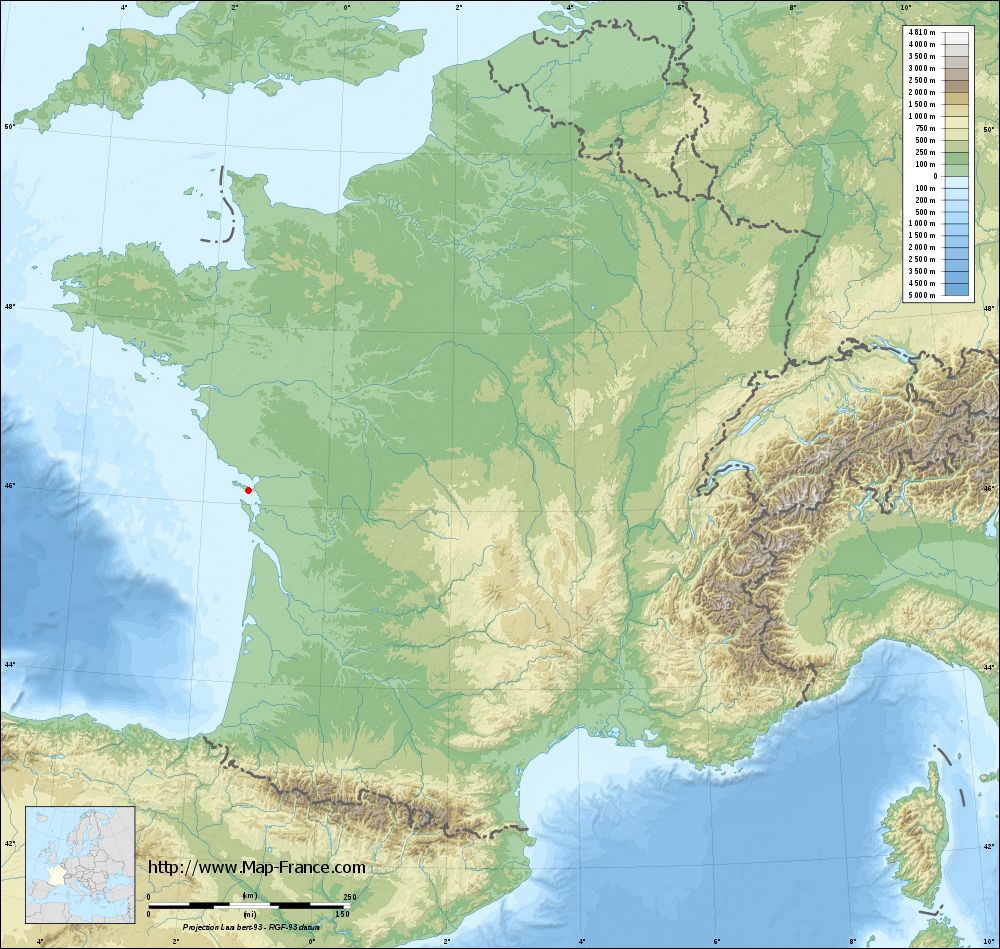
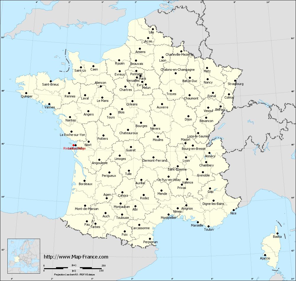
Map of Rivedoux-Plage with regions and prefectures
|
View the map of Rivedoux-Plage in full screen (1000 x 949)
|
You will find the location of Rivedoux-Plage on the map of France of regions in Lambert 93 coordinates. The city of Rivedoux-Plage is located in the department of Charente-Maritime of the french region Poitou-Charentes.
Geographical sexagesimal coordinates / GPS (WGS84):
Latitude: 46° 09' 33'' North
Longitude: 01° 16' 32'' West
Geographical decimal coordinates :
Latitude: 46.16 degrees (46.16° North)
Longitude: -1.276 degrees (1.276° West)
Lambert 93 coordinates :
X: 3 702 hectometers
Y: 65 711 hectometers
Lambert 2 coordinates :
X: 3 211 hectometers
Y: 21 352 hectometers
Below, the geographical coordinates of La Rochelle, prefecture of the Charente-Maritime department:
Geographical sexagesimal coordinates / GPS (WGS84):
Latitude: 46° 09' 34'' North
Longitude: 01° 09' 05'' West
Geographical decimal coordinates :
Latitude: 46.162 degrees (46.162° North)
Longitude: -1.152 degrees (1.152° West)
Lambert 93 coordinates :
X: 3 798 hectometers
Y: 65 706 hectometers
Lambert 2 coordinates :
X: 3 307 hectometers
Y: 21 348 hectometers
|
This map of Rivedoux-Plage is reusable and modifiable by making a link to this page of the Map-France.com website or by using the given code :
|
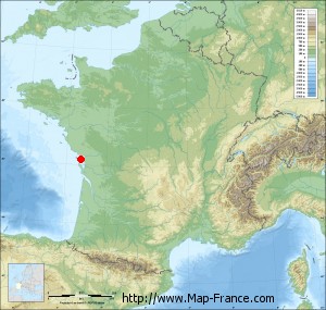
Map of Rivedoux-Plage with departments and prefectures
|
Voir la carte of Rivedoux-Plage en grand format (1000 x 949)
|
Here is the localization of Rivedoux-Plage on the France map of departments in Lambert 93 coordinates. The city of Rivedoux-Plage is shown on the map by a red point.
The city of Rivedoux-Plage is located in the department of Charente-Maritime of the french region Poitou-Charentes.
The latitude of Rivedoux-Plage is 46.16 degrees North.
The longitude of Rivedoux-Plage is 1.276 degrees West.
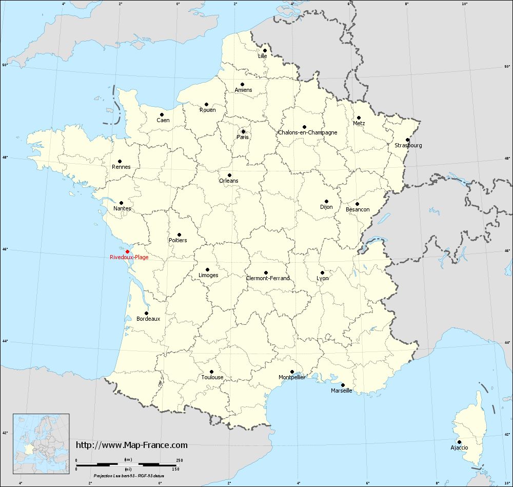
Here the distance between Rivedoux-Plage and the biggest cities of France:
Distances are calculated as the crow flies (orthodromic distance)
Distance between Rivedoux-Plage and Paris : 404.83 kilometers
Distance between Rivedoux-Plage and Marseille : 615.18 kilometers
Distance between Rivedoux-Plage and Lyon : 473.98 kilometers
Distance between Rivedoux-Plage and Toulouse : 356.27 kilometers
Distance between Rivedoux-Plage and Nice : 724.36 kilometers
Distance between Rivedoux-Plage and Nantes : 119.59 kilometers
Distance between Rivedoux-Plage and Strasbourg : 730.51 kilometers
Distance between Rivedoux-Plage and Montpellier : 494.53 kilometers
Distance between Rivedoux-Plage and Bordeaux : 156.15 kilometers
Distance between Rivedoux-Plage and Lille : 589.77 kilometers
Distance between Rivedoux-Plage and Rennes : 218.58 kilometers
Distance between Rivedoux-Plage and Reims : 525.11 kilometers
Clic here to see the map of Rivedoux-Plage in full screen:
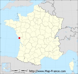
Rivedoux-Plage on the map of french departments
|
This administrative map of Rivedoux-Plage is reusable and modifiable by making a link to this page of the Map-France.com website or by using the given code :
|
Administrative base maps of Rivedoux-Plage
|

See the administrative base map of Rivedoux-Plage in full screen (1000 x 949)
|
Small administrative base map of Rivedoux-Plage
|
This base map administrative of Rivedoux-Plage is reusable and modifiable by making a link to this page of the Map-France.com website or by using the given code :
|
 French Version : http://www.cartesfrance.fr