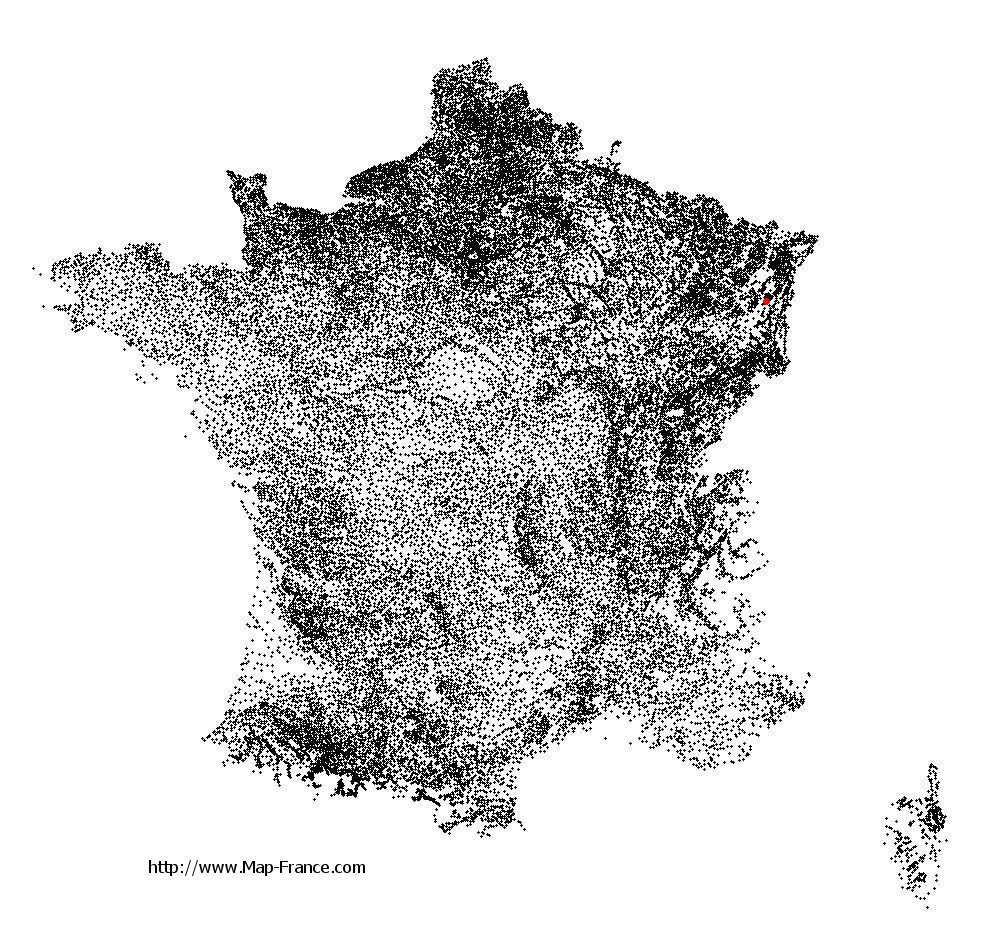
Rombach-le-Franc on the relief France map in Lambert 93 coordinates
|

See the map of Rombach-le-Franc in full screen (1000 x 949)
|
At left, here is the location of Rombach-le-Franc on the relief France map in Lambert 93 coordinates.
Here are the altitudes of Rombach-le-Franc :
- Town hall altitude of Rombach-le-Franc is 320 meters
- Minimum altitude of Rombach-le-Franc is 290 meters
- Maximum altitude of Rombach-le-Franc is 850 meters
- Medium altitude of Rombach-le-Franc is 570 meters
Here are the altitudes of Colmar, prefecture of Haut-Rhin department:
- Town hall altitude of Colmar is 198 meters
- Minimum altitude of Colmar is 175 meters
- Maximum altitude of Colmar is 214 meters
- Medium altitude of Colmar is 195 meters
Here are the altitudes of the french biggest cities:
Paris : 33 meters
Marseille : 20 meters
Lyon : 237 meters
Toulouse : 146 meters
Nice : 10 meters
Nantes : 20 meters
Strasbourg : 144 meters
Montpellier : 35 meters
Bordeaux : 16 meters
Lille : 20 meters
Rennes : 35 meters
Reims : 83 meters
Click here for the terrain map of Rombach-le-Franc in full screen:
Relief map of Rombach-le-Franc
|
This relief map of Rombach-le-Franc is reusable and modifiable by making a link to this page of the Map-France.com website or by using the given code :
|
Terrain base map of Rombach-le-Franc
|

See the terrain base map of Rombach-le-Franc in full screen (1000 x 949)
|
Small relief base map of Rombach-le-Franc

|
This base map of Rombach-le-Franc is reusable and modifiable by making a link to this page of the Map-France.com website or by using the given code :
|
Map of Rombach-le-Franc with regions and prefectures
|
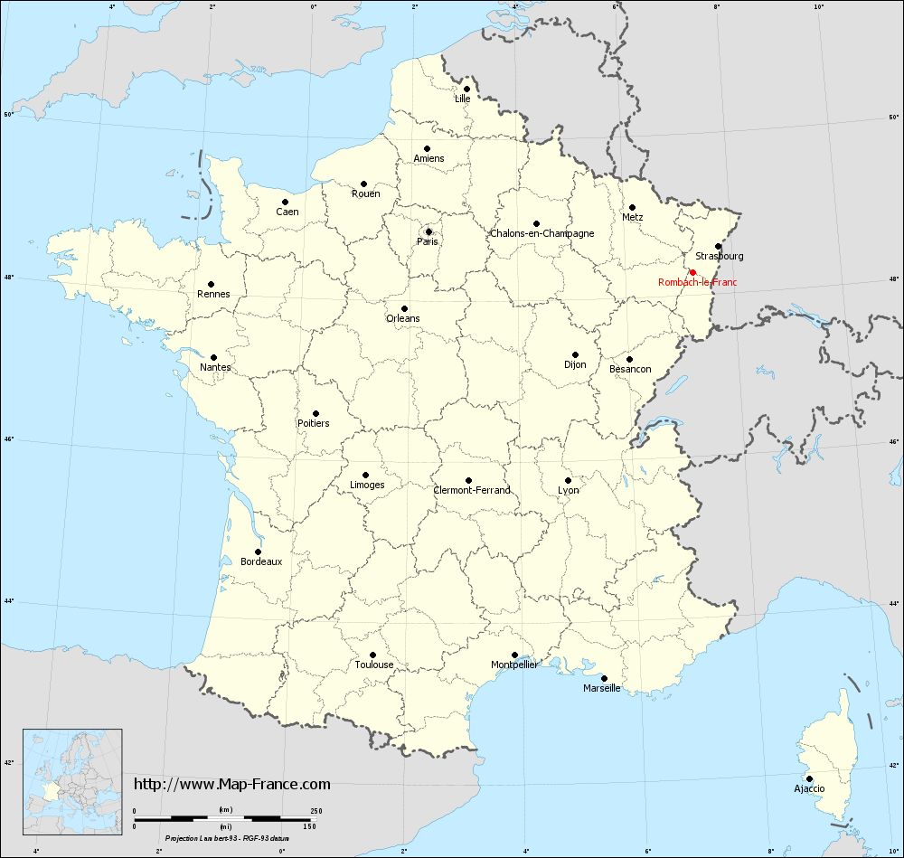
View the map of Rombach-le-Franc in full screen (1000 x 949)
|
You will find the location of Rombach-le-Franc on the map of France of regions in Lambert 93 coordinates. The town of Rombach-le-Franc is located in the department of Haut-Rhin of the french region Alsace.
Geographical sexagesimal coordinates / GPS (WGS84):
Latitude: 48° 17' 03'' North
Longitude: 07° 15' 38'' East
Geographical decimal coordinates :
Latitude: 48.284 degrees (48.284° North)
Longitude: 7.263 degrees (7.263° East)
Lambert 93 coordinates :
X: 10 159 hectometers
Y: 68 067 hectometers
Lambert 2 coordinates :
X: 9 653 hectometers
Y: 23 765 hectometers
Below, the geographical coordinates of Colmar, prefecture of the Haut-Rhin department:
Geographical sexagesimal coordinates / GPS (WGS84):
Latitude: 48° 04' 52'' North
Longitude: 07° 21' 18'' East
Geographical decimal coordinates :
Latitude: 48.078 degrees (48.078° North)
Longitude: 7.355 degrees (7.355° East)
Lambert 93 coordinates :
X: 10 241 hectometers
Y: 67 846 hectometers
Lambert 2 coordinates :
X: 9 737 hectometers
Y: 23 544 hectometers
|
This map of Rombach-le-Franc is reusable and modifiable by making a link to this page of the Map-France.com website or by using the given code :
|
Map of Rombach-le-Franc with departments and prefectures
|
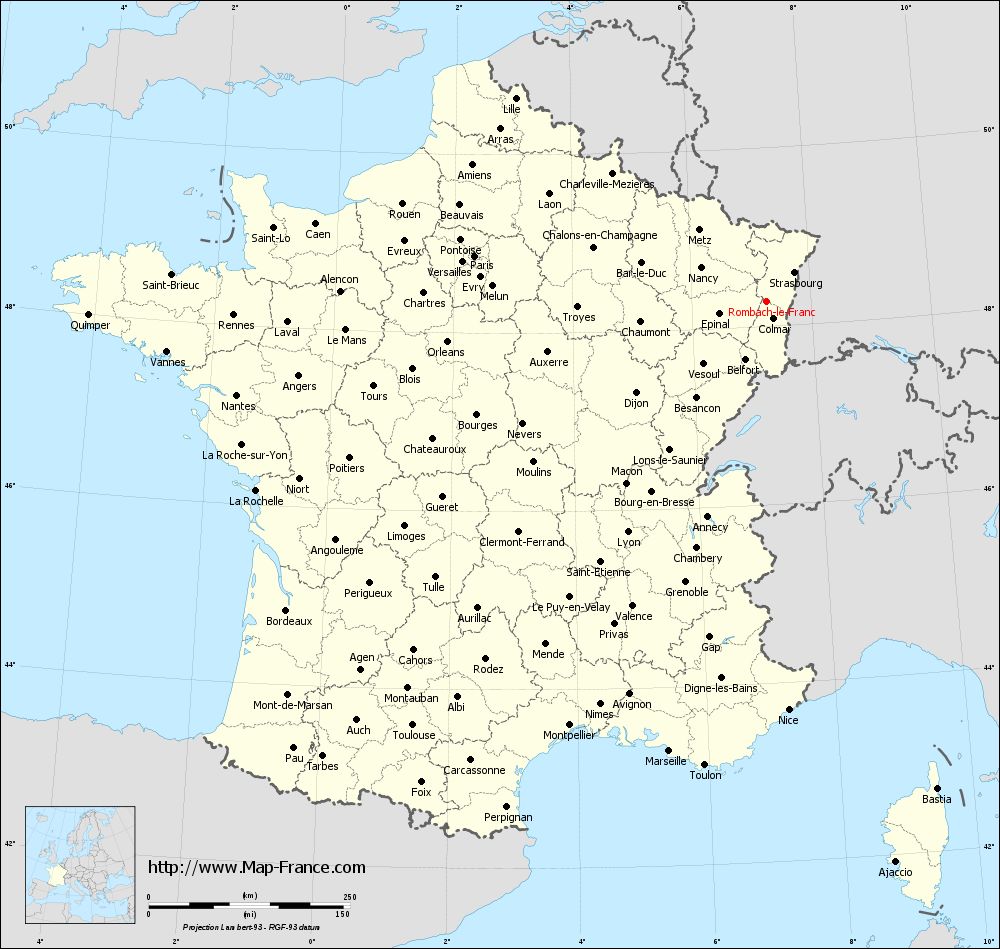
Voir la carte of Rombach-le-Franc en grand format (1000 x 949)
|
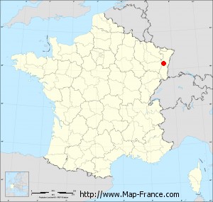
Here is the localization of Rombach-le-Franc on the France map of departments in Lambert 93 coordinates. The city of Rombach-le-Franc is shown on the map by a red point.
The town of Rombach-le-Franc is located in the department of Haut-Rhin of the french region Alsace.
The latitude of Rombach-le-Franc is 48.284 degrees North.
The longitude of Rombach-le-Franc is 7.263 degrees East.
Here the distance between Rombach-le-Franc and the biggest cities of France:
Distances are calculated as the crow flies (orthodromic distance)
Distance between Rombach-le-Franc and Paris : 367.07 kilometers
Distance between Rombach-le-Franc and Marseille : 572.45 kilometers
Distance between Rombach-le-Franc and Lyon : 335.31 kilometers
Distance between Rombach-le-Franc and Toulouse : 686.97 kilometers
Distance between Rombach-le-Franc and Nice : 508.59 kilometers
Distance between Rombach-le-Franc and Nantes : 668.79 kilometers
Distance between Rombach-le-Franc and Strasbourg : 49.36 kilometers
Distance between Rombach-le-Franc and Montpellier : 581.5 kilometers
Distance between Rombach-le-Franc and Bordeaux : 709.85 kilometers
Distance between Rombach-le-Franc and Lille : 400.72 kilometers
Distance between Rombach-le-Franc and Rennes : 662.28 kilometers
Distance between Rombach-le-Franc and Reims : 260.21 kilometers
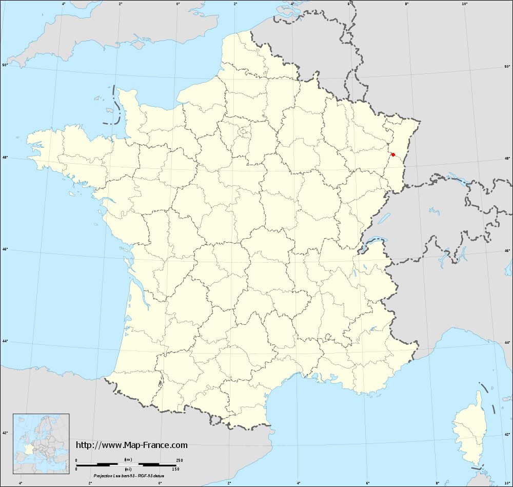
Clic here to see the map of Rombach-le-Franc in full screen:
Rombach-le-Franc on the map of french departments
|
This administrative map of Rombach-le-Franc is reusable and modifiable by making a link to this page of the Map-France.com website or by using the given code :
|
Administrative base maps of Rombach-le-Franc
|
See the administrative base map of Rombach-le-Franc in full screen (1000 x 949)
|
Small administrative base map of Rombach-le-Franc
|
This base map administrative of Rombach-le-Franc is reusable and modifiable by making a link to this page of the Map-France.com website or by using the given code :
|
 French Version : http://www.cartesfrance.fr