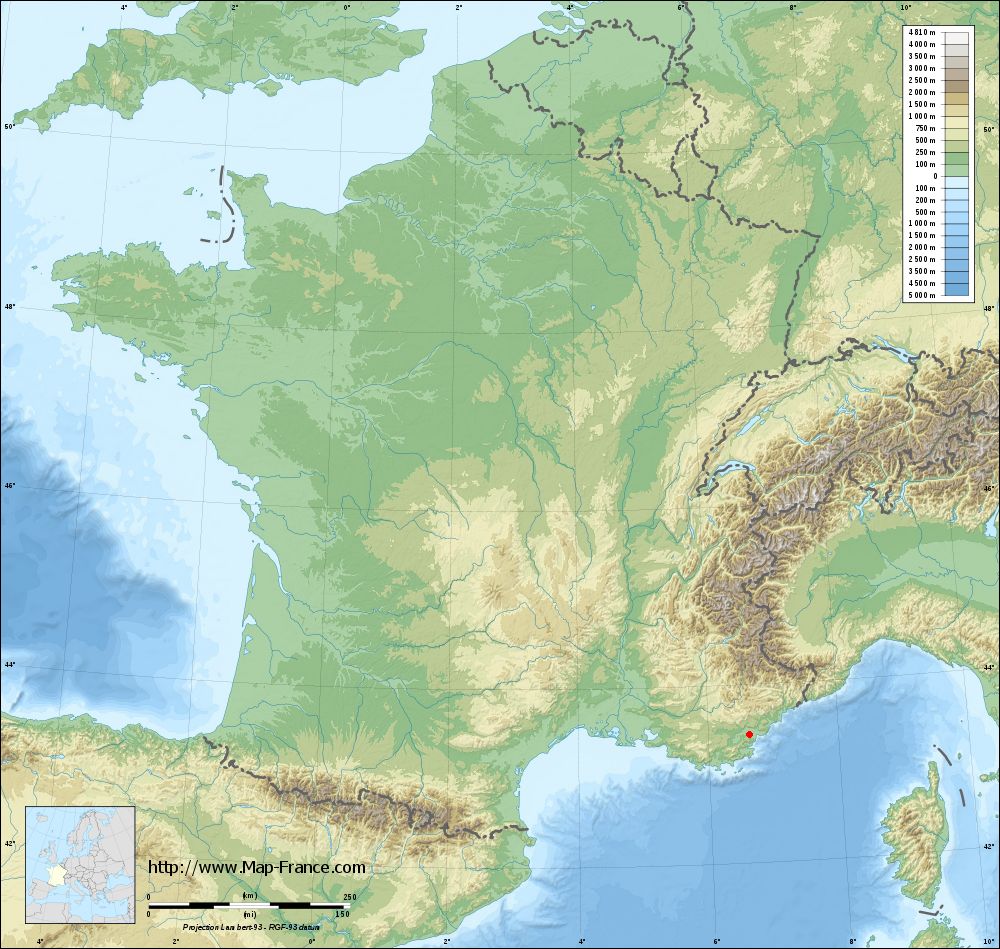
Roquebrune-sur-Argens on the relief France map in Lambert 93 coordinates
|

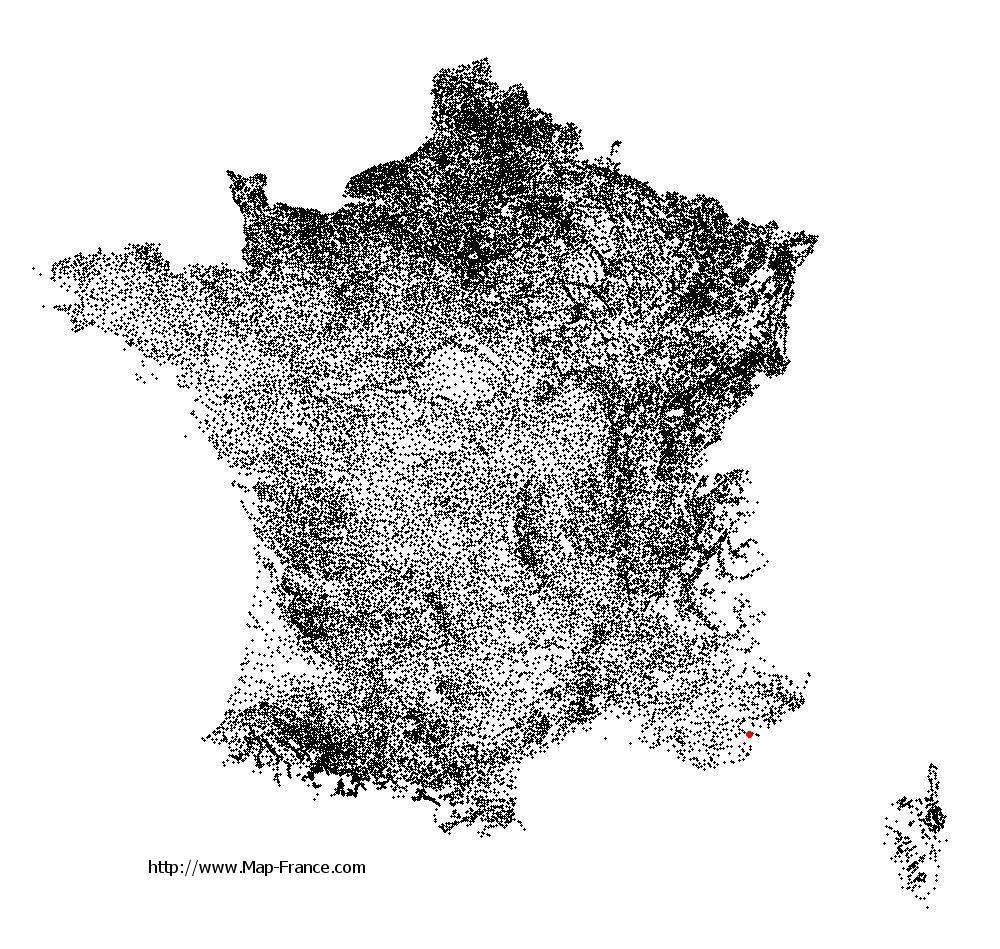
See the map of Roquebrune-sur-Argens in full screen (1000 x 949)
|
At left, here is the location of Roquebrune-sur-Argens on the relief France map in Lambert 93 coordinates.
Here are the altitudes of Roquebrune-sur-Argens :
- Town hall altitude of Roquebrune-sur-Argens is 16 meters
- Minimum altitude of Roquebrune-sur-Argens is 0 meters
- Maximum altitude of Roquebrune-sur-Argens is 480 meters
- Medium altitude of Roquebrune-sur-Argens is 240 meters
Here are the altitudes of Toulon, prefecture of Var department:
- Town hall altitude of Toulon is 30 meters
- Minimum altitude of Toulon is 0 meters
- Maximum altitude of Toulon is 589 meters
- Medium altitude of Toulon is 295 meters
Here are the altitudes of the french biggest cities:
Paris : 33 meters
Marseille : 20 meters
Lyon : 237 meters
Toulouse : 146 meters
Nice : 10 meters
Nantes : 20 meters
Strasbourg : 144 meters
Montpellier : 35 meters
Bordeaux : 16 meters
Lille : 20 meters
Rennes : 35 meters
Reims : 83 meters
Click here for the terrain map of Roquebrune-sur-Argens in full screen:
Relief map of Roquebrune-sur-Argens
|
This relief map of Roquebrune-sur-Argens is reusable and modifiable by making a link to this page of the Map-France.com website or by using the given code :
|
Terrain base map of Roquebrune-sur-Argens
|
See the terrain base map of Roquebrune-sur-Argens in full screen (1000 x 949)
|
Small relief base map of Roquebrune-sur-Argens

|
This base map of Roquebrune-sur-Argens is reusable and modifiable by making a link to this page of the Map-France.com website or by using the given code :
|
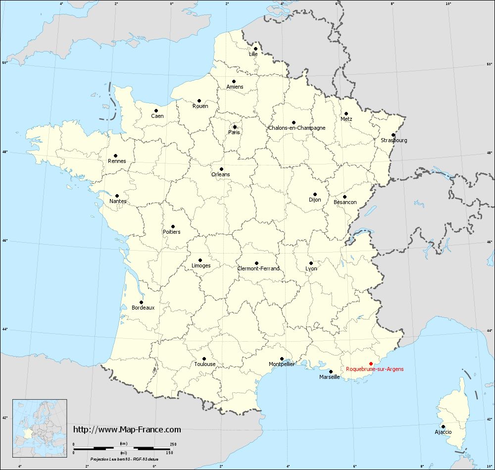
Map of Roquebrune-sur-Argens with regions and prefectures
|
View the map of Roquebrune-sur-Argens in full screen (1000 x 949)
|
You will find the location of Roquebrune-sur-Argens on the map of France of regions in Lambert 93 coordinates. The city of Roquebrune-sur-Argens is located in the department of Var of the french region Provence-Alpes-Côte d'Azur.
Geographical sexagesimal coordinates / GPS (WGS84):
Latitude: 43° 26' 36'' North
Longitude: 06° 38' 16'' East
Geographical decimal coordinates :
Latitude: 43.443 degrees (43.443° North)
Longitude: 6.638 degrees (6.638° East)
Lambert 93 coordinates :
X: 9 945 hectometers
Y: 62 672 hectometers
Lambert 2 coordinates :
X: 9 486 hectometers
Y: 18 363 hectometers
Below, the geographical coordinates of Toulon, prefecture of the Var department:
Geographical sexagesimal coordinates / GPS (WGS84):
Latitude: 43° 07' 30'' North
Longitude: 05° 55' 50'' East
Geographical decimal coordinates :
Latitude: 43.127 degrees (43.127° North)
Longitude: 5.934 degrees (5.934° East)
Lambert 93 coordinates :
X: 9 386 hectometers
Y: 62 295 hectometers
Lambert 2 coordinates :
X: 8 929 hectometers
Y: 17 981 hectometers
|
This map of Roquebrune-sur-Argens is reusable and modifiable by making a link to this page of the Map-France.com website or by using the given code :
|
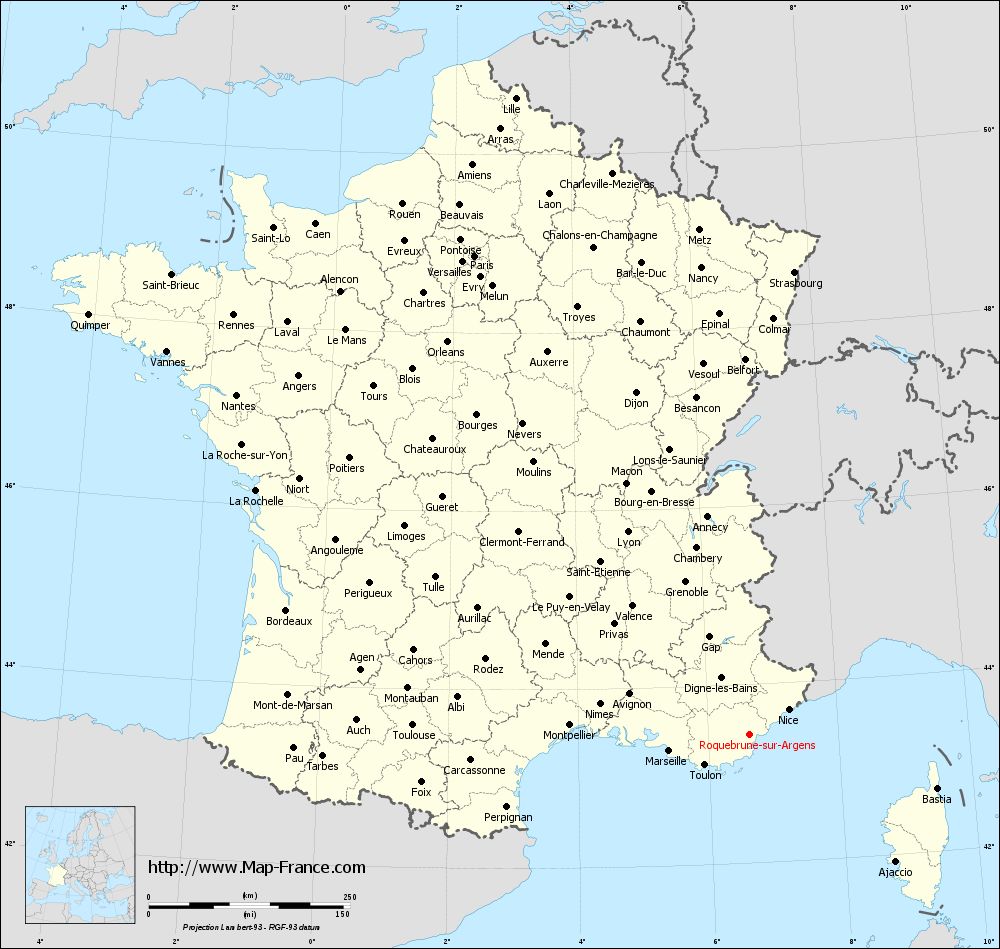
Map of Roquebrune-sur-Argens with departments and prefectures
|
Voir la carte of Roquebrune-sur-Argens en grand format (1000 x 949)
|
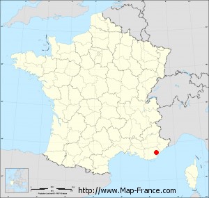
Here is the localization of Roquebrune-sur-Argens on the France map of departments in Lambert 93 coordinates. The city of Roquebrune-sur-Argens is shown on the map by a red point.
The city of Roquebrune-sur-Argens is located in the department of Var of the french region Provence-Alpes-Côte d'Azur.
The latitude of Roquebrune-sur-Argens is 43.443 degrees North.
The longitude of Roquebrune-sur-Argens is 6.638 degrees East.
Here the distance between Roquebrune-sur-Argens and the biggest cities of France:
Distances are calculated as the crow flies (orthodromic distance)
Distance between Roquebrune-sur-Argens and Paris : 686.4 kilometers
Distance between Roquebrune-sur-Argens and Marseille : 101.3 kilometers
Distance between Roquebrune-sur-Argens and Lyon : 294.29 kilometers
Distance between Roquebrune-sur-Argens and Toulouse : 418.23 kilometers
Distance between Roquebrune-sur-Argens and Nice : 58.15 kilometers
Distance between Roquebrune-sur-Argens and Nantes : 764.52 kilometers
Distance between Roquebrune-sur-Argens and Strasbourg : 577.73 kilometers
Distance between Roquebrune-sur-Argens and Montpellier : 223.39 kilometers
Distance between Roquebrune-sur-Argens and Bordeaux : 595.52 kilometers
Distance between Roquebrune-sur-Argens and Lille : 843.16 kilometers
Distance between Roquebrune-sur-Argens and Rennes : 826.33 kilometers
Distance between Roquebrune-sur-Argens and Reims : 676.22 kilometers
Clic here to see the map of Roquebrune-sur-Argens in full screen:
Roquebrune-sur-Argens on the map of french departments
|
This administrative map of Roquebrune-sur-Argens is reusable and modifiable by making a link to this page of the Map-France.com website or by using the given code :
|
Administrative base maps of Roquebrune-sur-Argens
|

See the administrative base map of Roquebrune-sur-Argens in full screen (1000 x 949)
|
Small administrative base map of Roquebrune-sur-Argens
|
This base map administrative of Roquebrune-sur-Argens is reusable and modifiable by making a link to this page of the Map-France.com website or by using the given code :
|
 French Version : http://www.cartesfrance.fr