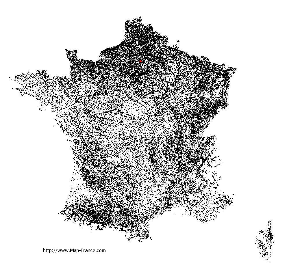
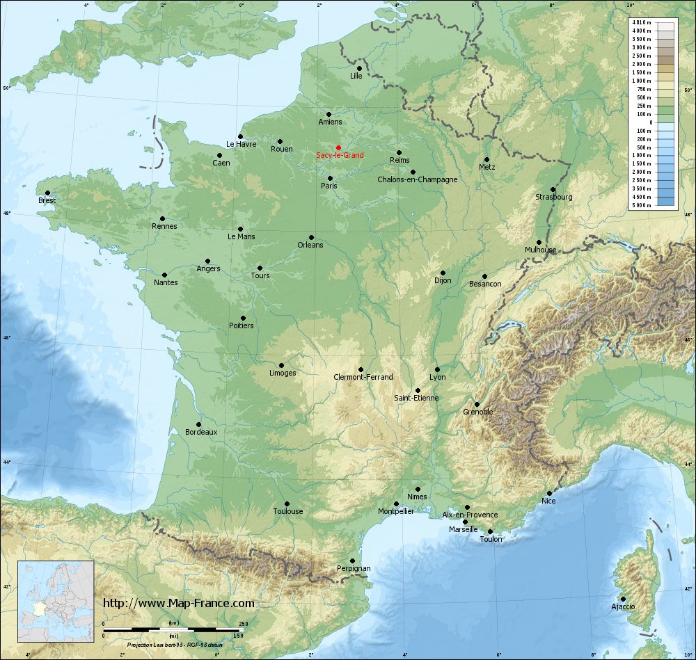
Sacy-le-Grand on the relief France map in Lambert 93 coordinates
|
See the map of Sacy-le-Grand in full screen (1000 x 949)
|
At left, here is the location of Sacy-le-Grand on the relief France map in Lambert 93 coordinates.
Here are the altitudes of Sacy-le-Grand :
- Town hall altitude of Sacy-le-Grand is 40 meters
- Minimum altitude of Sacy-le-Grand is 30 meters
- Maximum altitude of Sacy-le-Grand is 160 meters
- Medium altitude of Sacy-le-Grand is 95 meters
Here are the altitudes of Beauvais, prefecture of Oise department:
- Town hall altitude of Beauvais is 67 meters
- Minimum altitude of Beauvais is 57 meters
- Maximum altitude of Beauvais is 170 meters
- Medium altitude of Beauvais is 114 meters
Here are the altitudes of the french biggest cities:
Paris : 33 meters
Marseille : 20 meters
Lyon : 237 meters
Toulouse : 146 meters
Nice : 10 meters
Nantes : 20 meters
Strasbourg : 144 meters
Montpellier : 35 meters
Bordeaux : 16 meters
Lille : 20 meters
Rennes : 35 meters
Reims : 83 meters
Click here for the terrain map of Sacy-le-Grand in full screen:
Relief map of Sacy-le-Grand
|
This relief map of Sacy-le-Grand is reusable and modifiable by making a link to this page of the Map-France.com website or by using the given code :
|
Terrain base map of Sacy-le-Grand
|

See the terrain base map of Sacy-le-Grand in full screen (1000 x 949)
|
Small relief base map of Sacy-le-Grand

|
This base map of Sacy-le-Grand is reusable and modifiable by making a link to this page of the Map-France.com website or by using the given code :
|
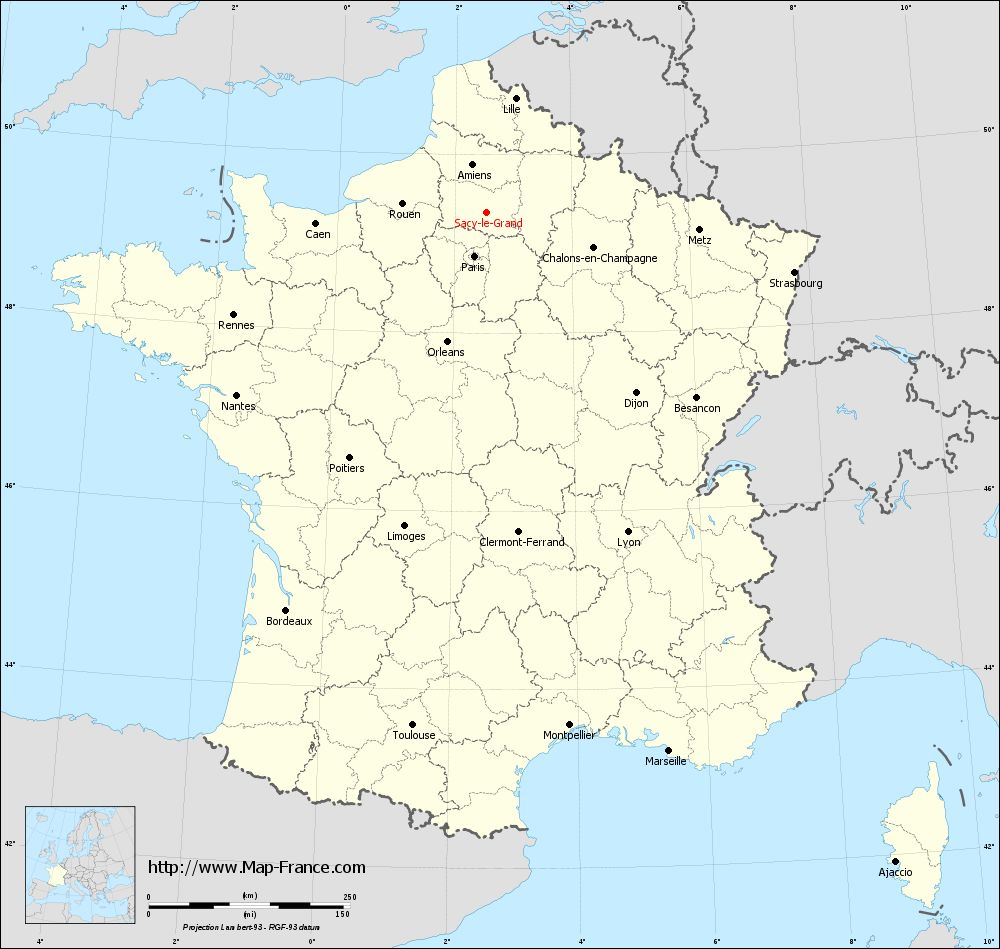
Map of Sacy-le-Grand with regions and prefectures
|
View the map of Sacy-le-Grand in full screen (1000 x 949)
|
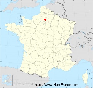
You will find the location of Sacy-le-Grand on the map of France of regions in Lambert 93 coordinates. The town of Sacy-le-Grand is located in the department of Oise of the french region Picardie.
Geographical sexagesimal coordinates / GPS (WGS84):
Latitude: 49° 21' 16'' North
Longitude: 02° 32' 39'' East
Geographical decimal coordinates :
Latitude: 49.353 degrees (49.353° North)
Longitude: 2.543 degrees (2.543° East)
Lambert 93 coordinates :
X: 6 669 hectometers
Y: 69 173 hectometers
Lambert 2 coordinates :
X: 6 151 hectometers
Y: 24 841 hectometers
Below, the geographical coordinates of Beauvais, prefecture of the Oise department:
Geographical sexagesimal coordinates / GPS (WGS84):
Latitude: 49° 26' 03'' North
Longitude: 02° 05' 15'' East
Geographical decimal coordinates :
Latitude: 49.435 degrees (49.435° North)
Longitude: 2.082 degrees (2.082° East)
Lambert 93 coordinates :
X: 6 338 hectometers
Y: 69 265 hectometers
Lambert 2 coordinates :
X: 5 819 hectometers
Y: 24 930 hectometers
|
This map of Sacy-le-Grand is reusable and modifiable by making a link to this page of the Map-France.com website or by using the given code :
|
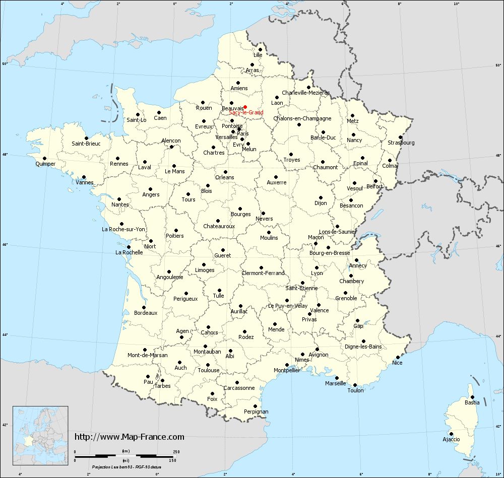
Map of Sacy-le-Grand with departments and prefectures
|
Voir la carte of Sacy-le-Grand en grand format (1000 x 949)
|
Here is the localization of Sacy-le-Grand on the France map of departments in Lambert 93 coordinates. The city of Sacy-le-Grand is shown on the map by a red point.
The town of Sacy-le-Grand is located in the department of Oise of the french region Picardie.
The latitude of Sacy-le-Grand is 49.353 degrees North.
The longitude of Sacy-le-Grand is 2.543 degrees East.
Here the distance between Sacy-le-Grand and the biggest cities of France:
Distances are calculated as the crow flies (orthodromic distance)
Distance between Sacy-le-Grand and Paris : 56.57 kilometers
Distance between Sacy-le-Grand and Marseille : 707.5 kilometers
Distance between Sacy-le-Grand and Lyon : 434.61 kilometers
Distance between Sacy-le-Grand and Toulouse : 644.66 kilometers
Distance between Sacy-le-Grand and Nice : 723.4 kilometers
Distance between Sacy-le-Grand and Nantes : 384.59 kilometers
Distance between Sacy-le-Grand and Strasbourg : 389.58 kilometers
Distance between Sacy-le-Grand and Montpellier : 646.29 kilometers
Distance between Sacy-le-Grand and Bordeaux : 553.73 kilometers
Distance between Sacy-le-Grand and Lille : 146.08 kilometers
Distance between Sacy-le-Grand and Rennes : 338.99 kilometers
Distance between Sacy-le-Grand and Reims : 108.31 kilometers
Clic here to see the map of Sacy-le-Grand in full screen:
Sacy-le-Grand on the map of french departments
|
This administrative map of Sacy-le-Grand is reusable and modifiable by making a link to this page of the Map-France.com website or by using the given code :
|
Administrative base maps of Sacy-le-Grand
|

See the administrative base map of Sacy-le-Grand in full screen (1000 x 949)
|
Small administrative base map of Sacy-le-Grand
|
This base map administrative of Sacy-le-Grand is reusable and modifiable by making a link to this page of the Map-France.com website or by using the given code :
|
 French Version : http://www.cartesfrance.fr