|
The village of Saint-Ail is a small village located north east of France. The town of Saint-Ail is located in the department of Meurthe-et-Moselle of the french region Lorraine. The town of Saint-Ail is located in the township of Homécourt part of the district of Briey. The area code for Saint-Ail is 54469 (also known as code INSEE), and the Saint-Ail zip code is 54580.
Geography and map of Saint-Ail :
The altitude of the city hall of Saint-Ail is approximately 274 meters. The Saint-Ail surface is 7.38 km ². The latitude and longitude of Saint-Ail are 49.181 degrees North and 5.996 degrees East.
Nearby cities and towns of Saint-Ail are :
Sainte-Marie-aux-Chênes (57118) at 1.37 km, Batilly (54980) at 2.20 km, Saint-Privat-la-Montagne (57124) at 3.30 km, Auboué (54580) at 3.51 km, Jouaville (54800) at 3.69 km, Amanvillers (57111) at 3.80 km, Vernéville (57130) at 3.88 km, Roncourt (57860) at 4.12 km.
(The distances to these nearby towns of Saint-Ail are calculated as the crow flies)
Population and housing of Saint-Ail :
The population of Saint-Ail was 328 in 1999, 323 in 2006 and 326 in 2007. The population density of Saint-Ail is 44.17 inhabitants per km². The number of housing of Saint-Ail was 131 in 2007. These homes of Saint-Ail consist of 121 main residences, 2 second or occasional homes and 8 vacant homes. |
|
|
Hotel Saint-Ail
|
|
|
Book now ! Best Price Guaranteed, no booking fees, pay at the hotel with our partner Booking.com, leader in online hotel reservation.
Find all hotels of Saint-Ail : Hotel Saint-Ail
| |
|
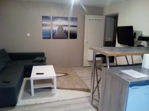
Apartment : Studio au calme
Studio au calme is set in Batilly and offers free bikes and a terrace. Guests staying at this apartment have access to free WiFi. The apartment includes a kitchen with an oven ...
Rate : from 39.00 €
Address : 27bis impasse du château 54980 Batilly
Distance Apartment - Saint-Ail : 2.33 km
|
|
|
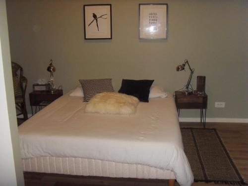
Bed and Breakfast : Suit' Home
le Cocon de Saint Pierre is located in Norroy-le-Veneur, 10 km from Metz and 15 km from Amnéville and its thermal station. Free WiFi is available. All rooms are equipped with a...
Price : from 74.00 €
to 79.00 €
Contact : 2bis rue du Fort 57140 Norroy-le-Veneur
Distance Bed and Breakfast - Saint-Ail : 7.93 km
|
|
|
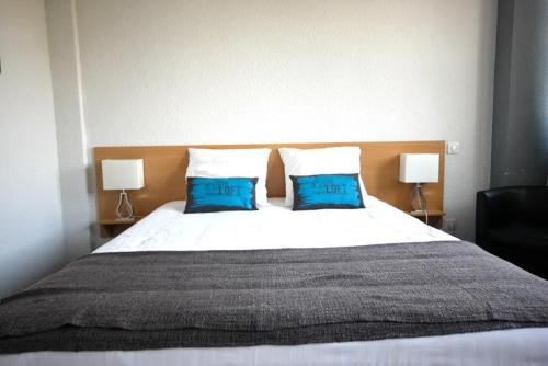
Hotel : Hôtel la Régie
Located close to the centre of Briey, Hôtel la Régie is set in a landscaped park with a covered terrace. You can dine in the restaurant and enjoy a drink at the bar in this cont...
Prices : from 75.00 €
to 97.00 €
Contact : 11 avenue de la République 54150 Briey
Distance Hotel - Saint-Ail : 8.17 km
|
|
|
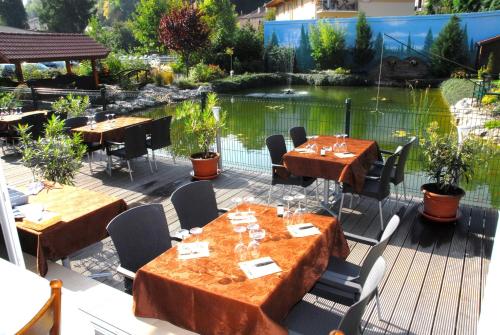
In need of a relaxing holiday? The modern Hôtel Aster offers a warm and friendly welcome and a range of comfortable rooms. Rooms at the Hôtel Aster are all en suite and fitted...
Rate : from 81.00 €
to 234.00 €
Contact : 1 Avenue de l'Europe 54150 Briey
Distance Hotel - Saint-Ail : 8.66 km
|
|
|
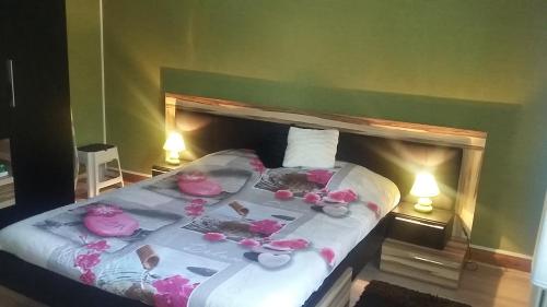
Apartment : Appartement le Jarnysien

Featuring a garden, private pool and pool views, Appartement le Jarnysien is situated in Jarny. This apartment provides an outdoor pool and complimentary WiFi. Leading onto a t...
Address : 40 avenue patton 54800 Jarny
Distance Apartment - Saint-Ail : 9.25 km
|
|
|
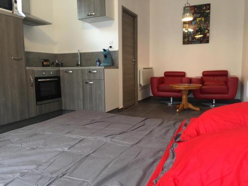
Apartment : Studio centre ville avec parking
Offering free WiFi and city views, Studio centre ville avec parking is an accommodation located in Jarny. Guests staying at this apartment have access to a fully equipped kitche...
Prices : from 48.00 €
to 55.00 €
Contact : 2 rue de verdun 54800 Jarny
Distance Apartment - Saint-Ail : 9.44 km
|
|
|
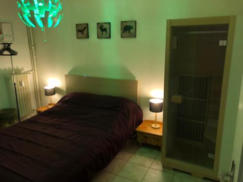
Apartment : Appartement le Verlaine
Appartement le Verlaine is located in Rombas. This property offers access to free WiFi. The apartment is composed of 2 separate bedrooms, a living room, a fully equipped kitche...
Contact : 12 Rue Paul Verlaine 57120 Rombas
Distance Apartment - Saint-Ail : 10.16 km
|
|
|
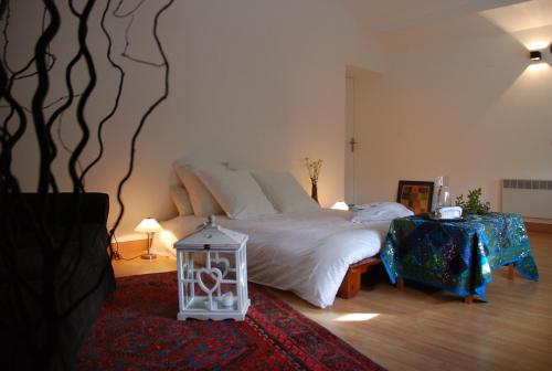
Bed and Breakfast : Le Prana - Les Chambres d'Hôtes
Located in Rozérieulles, Le Prana – Les Chambres d’Hôtes is 12 km from the centre of Metz. This B&B offers free WiFi access, a shared lounge and a patio with outdoor furniture. ...
Price : from 75.00 €
to 92.00 €
Contact : 18 rue de l'Ecole Centrale 57160 Rozérieulles
Distance Bed and Breakfast - Saint-Ail : 10.35 km
|
|
|
Bed and Breakfast : La pièce montée
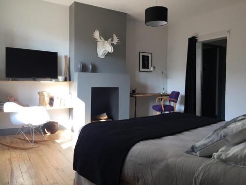
Offering free WiFi and city views, La pièce montée is an accommodation situated in Rozérieulles. Guests staying at this bed and breakfast have access to a fully equipped kitchen...
Prices : from 76.00 €
to 87.00 €
Address : 3 rue Pasteur 57160 Rozérieulles
Distance Bed and Breakfast - Saint-Ail : 10.39 km
|
|

|
Bed and Breakfast : Les Lutins

Located in Sainte-Ruffine in the Lorraine region, Les Lutins features a garden. The property has garden views. A continental breakfast is served every morning at the property. ...
Rate : from 70.00 €
to 110.00 €
Contact : 24 Chemin de la Haie Brulee 57130 Sainte-Ruffine
Distance Bed and Breakfast - Saint-Ail : 10.59 km
|
|
Find another hotel near Saint-Ail : Saint-Ail hotels list
|
Map of Saint-Ail
|
|
Map of Saint-Ail :
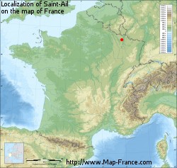
At right you can find the localization of Saint-Ail on the map of France. Below, this is the satellite map of Saint-Ail. A road map, and maps templates of Saint-Ail are available here : "road map of Saint-Ail". This map show Saint-Ail seen by the satellite of Google Map. To see the streets of Saint-Ail or move on another zone, use the buttons "zoom" and "map" on top of this dynamic map.
Search on the map of Saint-Ail :
To search hotels, housings, tourist information office, administrations or other services, use the Google search integrated to the map on the following page : "map Saint-Ail".
Hotels of Saint-Ail are listed on the map with the following icons: 
The map of Saint-Ail is centred in the following coordinates :
|
|
|
|
|
Print the map of Saint-Ail

Print the map of Saint-Ail : map of Saint-Ail
|
Photos Saint-Ail
|
See all photos of Saint-Ail :
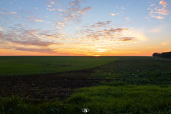
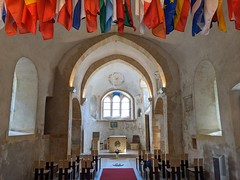
Other photos of Saint-Ail and nearby towns can be found here: photos Saint-Ail
|
|
Saint-Ail weather forecast
Find next hours and 7 days weather forecast for Saint-Ail here : weather Saint-Ail (with english metrics)
This is the last weather forecast for Saint-Ail collected by the nearest observation station of Homécourt.
Week Forecast:
The latest weather data for Saint-Ail were collected Monday, 14 April 2025 at 19:06 from the nearest observation station of Homécourt.
| Monday, April 14th |
20°C 6°C
0%
54%
|
Partly cloudy
Temperature Max: 20°C Temperature Min: 6°C
Precipitation Probability: 0%
Percentage of sky occluded by clouds: 54%
Wind speed: 6 km/h North-West
Humidity: 63%° UV Index: 4
Sunrise: 06:46 Sunset: 20:27 |
|
| | Tuesday, April 15th |
18°C 11°C
67%
87%
|
Rain
Temperature Max: 18°C Temperature Min: 11°C
Precipitation Probability: 67% (Rain)
Percentage of sky occluded by clouds: 87%
Wind speed: 12 km/h North
Humidity: 71%° UV Index: 3
Sunrise: 06:44 Sunset: 20:28 |
|
| | Wednesday, April 16th |
12°C 8°C
66%
99%
|
Drizzle
Temperature Max: 12°C Temperature Min: 8°C
Precipitation Probability: 66% (Rain)
Percentage of sky occluded by clouds: 99%
Wind speed: 7 km/h East
Humidity: 68%° UV Index: 3
Sunrise: 06:42 Sunset: 20:30 |
|
| | Thursday, April 17th |
11°C 7°C
79%
97%
|
Drizzle
Temperature Max: 11°C Temperature Min: 7°C
Precipitation Probability: 79% (Rain)
Percentage of sky occluded by clouds: 97%
Wind speed: 14 km/h South
Humidity: 73%° UV Index: 3
Sunrise: 06:40 Sunset: 20:31 |
|
|
Attribution: 
|
|
Other maps, hotels and towns in france
Find another town, zip code, department, region, ...
Quick links Saint-Ail :
Make a link to this page of Saint-Ail with the following code :
|
|
|

 French Version : http://www.cartesfrance.fr/carte-france-ville/54469_Saint-Ail.html


