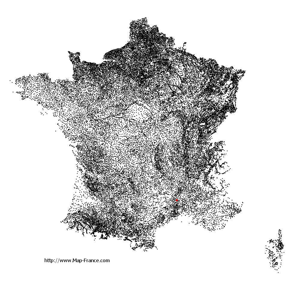
Saint-Ambroix on the relief France map in Lambert 93 coordinates
|

See the map of Saint-Ambroix in full screen (1000 x 949)
|
At left, here is the location of Saint-Ambroix on the relief France map in Lambert 93 coordinates.
Here are the altitudes of Saint-Ambroix :
- Town hall altitude of Saint-Ambroix is 141 meters
- Minimum altitude of Saint-Ambroix is 118 meters
- Maximum altitude of Saint-Ambroix is 485 meters
- Medium altitude of Saint-Ambroix is 302 meters
Here are the altitudes of Nîmes, prefecture of Gard department:
- Town hall altitude of Nîmes is 46 meters
- Minimum altitude of Nîmes is 21 meters
- Maximum altitude of Nîmes is 215 meters
- Medium altitude of Nîmes is 118 meters
Here are the altitudes of the french biggest cities:
Paris : 33 meters
Marseille : 20 meters
Lyon : 237 meters
Toulouse : 146 meters
Nice : 10 meters
Nantes : 20 meters
Strasbourg : 144 meters
Montpellier : 35 meters
Bordeaux : 16 meters
Lille : 20 meters
Rennes : 35 meters
Reims : 83 meters
Click here for the terrain map of Saint-Ambroix in full screen:
Relief map of Saint-Ambroix
|
This relief map of Saint-Ambroix is reusable and modifiable by making a link to this page of the Map-France.com website or by using the given code :
|
Terrain base map of Saint-Ambroix
|

See the terrain base map of Saint-Ambroix in full screen (1000 x 949)
|
Small relief base map of Saint-Ambroix

|
This base map of Saint-Ambroix is reusable and modifiable by making a link to this page of the Map-France.com website or by using the given code :
|
Map of Saint-Ambroix with regions and prefectures
|
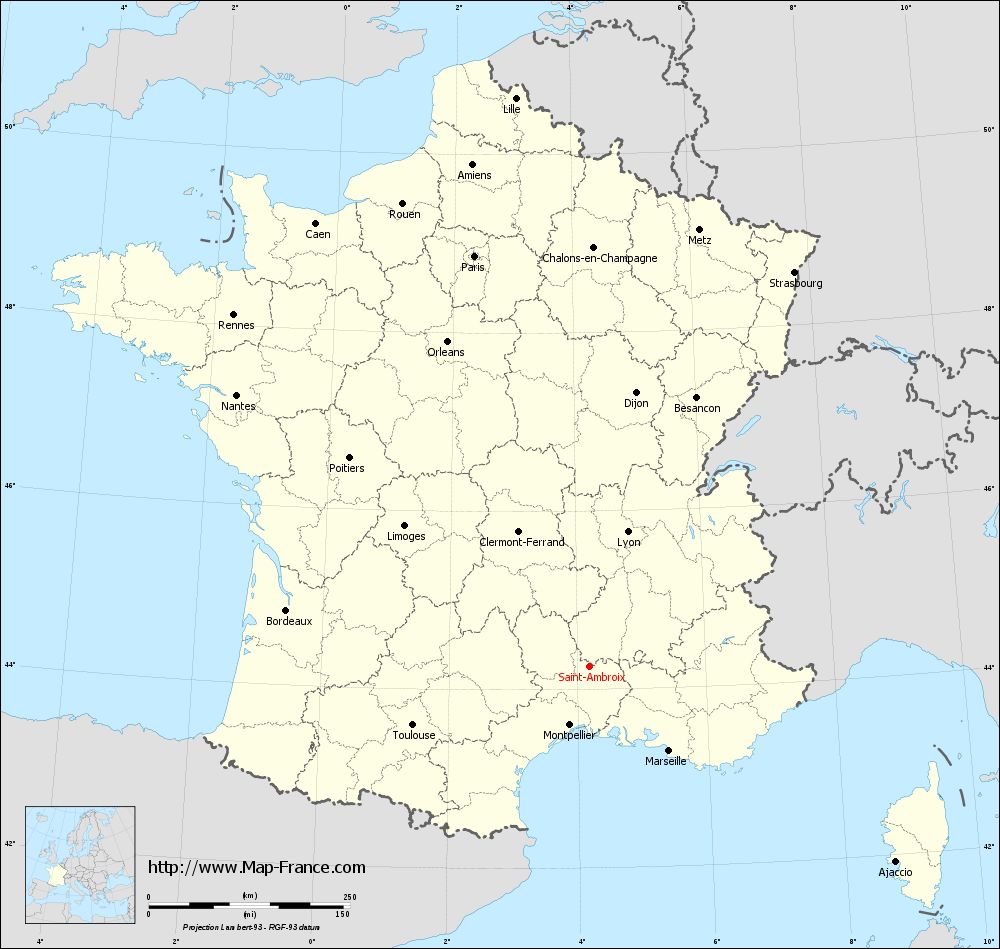
View the map of Saint-Ambroix in full screen (1000 x 949)
|
You will find the location of Saint-Ambroix on the map of France of regions in Lambert 93 coordinates. The city of Saint-Ambroix is located in the department of Gard of the french region Languedoc-Roussillon.
Geographical sexagesimal coordinates / GPS (WGS84):
Latitude: 44° 15' 38'' North
Longitude: 04° 11' 53'' East
Geographical decimal coordinates :
Latitude: 44.262 degrees (44.262° North)
Longitude: 4.199 degrees (4.199° East)
Lambert 93 coordinates :
X: 7 956 hectometers
Y: 63 520 hectometers
Lambert 2 coordinates :
X: 7 488 hectometers
Y: 19 195 hectometers
Below, the geographical coordinates of Nîmes, prefecture of the Gard department:
Geographical sexagesimal coordinates / GPS (WGS84):
Latitude: 43° 50' 13'' North
Longitude: 04° 21' 36'' East
Geographical decimal coordinates :
Latitude: 43.839 degrees (43.839° North)
Longitude: 4.361 degrees (4.361° East)
Lambert 93 coordinates :
X: 8 094 hectometers
Y: 63 052 hectometers
Lambert 2 coordinates :
X: 7 629 hectometers
Y: 18 727 hectometers
|
This map of Saint-Ambroix is reusable and modifiable by making a link to this page of the Map-France.com website or by using the given code :
|
Map of Saint-Ambroix with departments and prefectures
|
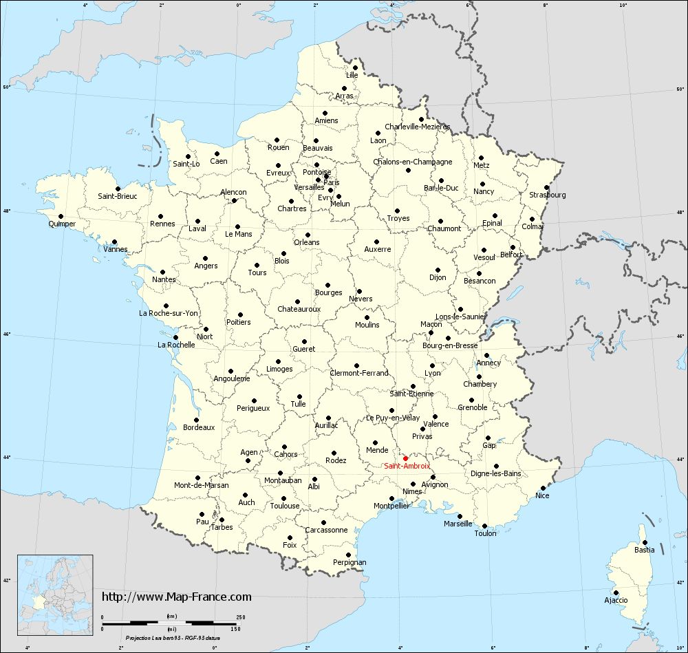
Voir la carte of Saint-Ambroix en grand format (1000 x 949)
|
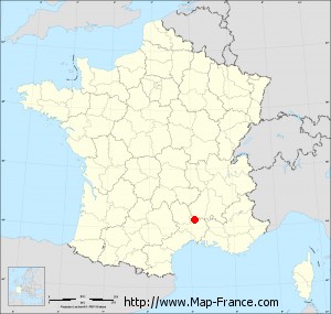
Here is the localization of Saint-Ambroix on the France map of departments in Lambert 93 coordinates. The city of Saint-Ambroix is shown on the map by a red point.
The city of Saint-Ambroix is located in the department of Gard of the french region Languedoc-Roussillon.
The latitude of Saint-Ambroix is 44.262 degrees North.
The longitude of Saint-Ambroix is 4.199 degrees East.
Here the distance between Saint-Ambroix and the biggest cities of France:
Distances are calculated as the crow flies (orthodromic distance)
Distance between Saint-Ambroix and Paris : 530.14 kilometers
Distance between Saint-Ambroix and Marseille : 144.08 kilometers
Distance between Saint-Ambroix and Lyon : 173.72 kilometers
Distance between Saint-Ambroix and Toulouse : 231.92 kilometers
Distance between Saint-Ambroix and Nice : 252.53 kilometers
Distance between Saint-Ambroix and Nantes : 553.78 kilometers
Distance between Saint-Ambroix and Strasbourg : 551.96 kilometers
Distance between Saint-Ambroix and Montpellier : 77.1 kilometers
Distance between Saint-Ambroix and Bordeaux : 383.4 kilometers
Distance between Saint-Ambroix and Lille : 712.56 kilometers
Distance between Saint-Ambroix and Rennes : 621.83 kilometers
Distance between Saint-Ambroix and Reims : 555.22 kilometers
Clic here to see the map of Saint-Ambroix in full screen:
Saint-Ambroix on the map of french departments
|
This administrative map of Saint-Ambroix is reusable and modifiable by making a link to this page of the Map-France.com website or by using the given code :
|
Administrative base maps of Saint-Ambroix
|
See the administrative base map of Saint-Ambroix in full screen (1000 x 949)
|
Small administrative base map of Saint-Ambroix
|
This base map administrative of Saint-Ambroix is reusable and modifiable by making a link to this page of the Map-France.com website or by using the given code :
|
 French Version : http://www.cartesfrance.fr