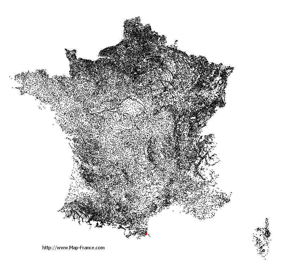
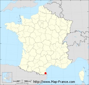
Map of Saint-André with regions and prefectures
|
View the map of Saint-André in full screen (1000 x 949)
|
You will find the location of Saint-André on the map of France of regions in Lambert 93 coordinates. The city of Saint-André is located in the department of Pyrénées-Orientales of the french region Languedoc-Roussillon.
Geographical sexagesimal coordinates / GPS (WGS84):
Latitude: 42° 33' 04'' North
Longitude: 02° 58' 24'' East
Geographical decimal coordinates :
Latitude: 42.553 degrees (42.553° North)
Longitude: 2.972 degrees (2.972° East)
Lambert 93 coordinates :
X: 6 978 hectometers
Y: 61 613 hectometers
Lambert 2 coordinates :
X: 6 524 hectometers
Y: 17 277 hectometers
Below, the geographical coordinates of Perpignan, prefecture of the Pyrénées-Orientales department:
Geographical sexagesimal coordinates / GPS (WGS84):
Latitude: 42° 41' 51'' North
Longitude: 02° 53' 41'' East
Geographical decimal coordinates :
Latitude: 42.698 degrees (42.698° North)
Longitude: 2.893 degrees (2.893° East)
Lambert 93 coordinates :
X: 6 914 hectometers
Y: 61 776 hectometers
Lambert 2 coordinates :
X: 6 459 hectometers
Y: 17 440 hectometers
|
This map of Saint-André is reusable and modifiable by making a link to this page of the Map-France.com website or by using the given code :
|
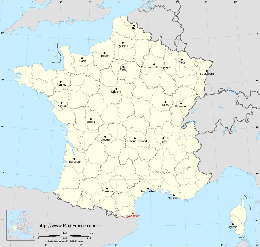
Map of Saint-André with departments and prefectures
|
Voir la carte of Saint-André en grand format (1000 x 949)
|
Here is the localization of Saint-André on the France map of departments in Lambert 93 coordinates. The city of Saint-André is shown on the map by a red point.
The city of Saint-André is located in the department of Pyrénées-Orientales of the french region Languedoc-Roussillon.
The latitude of Saint-André is 42.553 degrees North.
The longitude of Saint-André is 2.972 degrees East.
Here the distance between Saint-André and the biggest cities of France:
Distances are calculated as the crow flies (orthodromic distance)
Distance between Saint-André and Paris : 702.54 kilometers
Distance between Saint-André and Marseille : 214.09 kilometers
Distance between Saint-André and Lyon : 385.99 kilometers
Distance between Saint-André and Toulouse : 169.68 kilometers
Distance between Saint-André and Nice : 370.66 kilometers
Distance between Saint-André and Nantes : 628.84 kilometers
Distance between Saint-André and Strasbourg : 766.15 kilometers
Distance between Saint-André and Montpellier : 138.29 kilometers
Distance between Saint-André and Bordeaux : 381.96 kilometers
Distance between Saint-André and Lille : 897.24 kilometers
Distance between Saint-André and Rennes : 715.92 kilometers
Distance between Saint-André and Reims : 749.47 kilometers
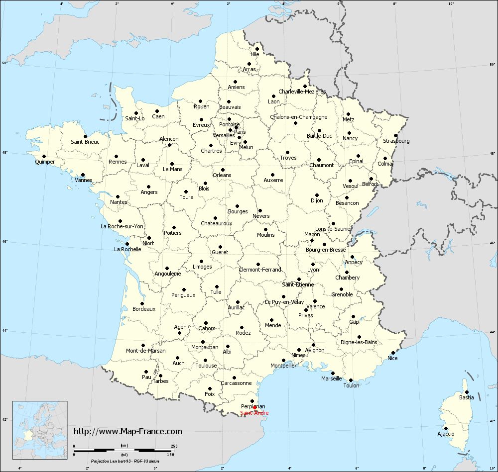
Clic here to see the map of Saint-André in full screen:
Saint-André on the map of french departments
|
This administrative map of Saint-André is reusable and modifiable by making a link to this page of the Map-France.com website or by using the given code :
|
Administrative base maps of Saint-André
|
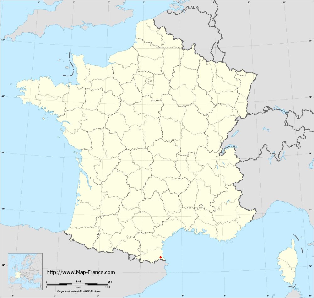
See the administrative base map of Saint-André in full screen (1000 x 949)
|
Small administrative base map of Saint-André
|
This base map administrative of Saint-André is reusable and modifiable by making a link to this page of the Map-France.com website or by using the given code :
|
 French Version : http://www.cartesfrance.fr