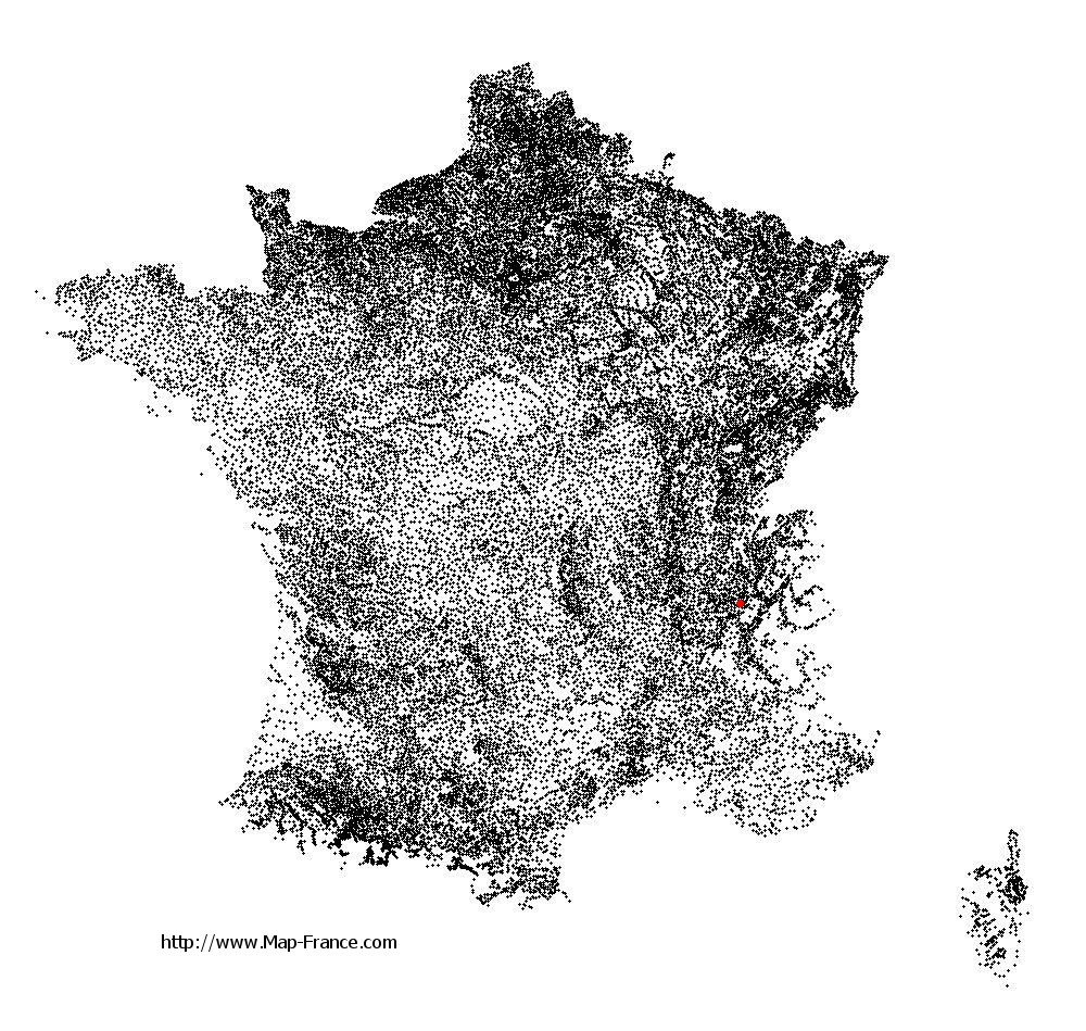
Saint-Bueil on the relief France map in Lambert 93 coordinates
|
See the map of Saint-Bueil in full screen (1000 x 949)
|
At left, here is the location of Saint-Bueil on the relief France map in Lambert 93 coordinates.
Here are the altitudes of Saint-Bueil :
- Town hall altitude of Saint-Bueil is 380 meters
- Minimum altitude of Saint-Bueil is 293 meters
- Maximum altitude of Saint-Bueil is 570 meters
- Medium altitude of Saint-Bueil is 432 meters
Here are the altitudes of Grenoble, prefecture of Isère department:
- Town hall altitude of Grenoble is 212 meters
- Minimum altitude of Grenoble is 204 meters
- Maximum altitude of Grenoble is 600 meters
- Medium altitude of Grenoble is 402 meters
Here are the altitudes of the french biggest cities:
Paris : 33 meters
Marseille : 20 meters
Lyon : 237 meters
Toulouse : 146 meters
Nice : 10 meters
Nantes : 20 meters
Strasbourg : 144 meters
Montpellier : 35 meters
Bordeaux : 16 meters
Lille : 20 meters
Rennes : 35 meters
Reims : 83 meters
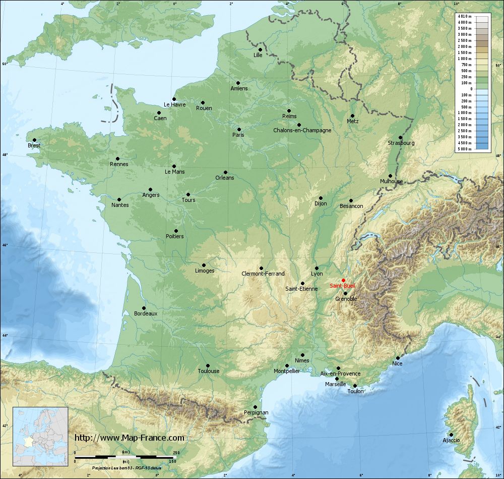
Click here for the terrain map of Saint-Bueil in full screen:
Relief map of Saint-Bueil
|
This relief map of Saint-Bueil is reusable and modifiable by making a link to this page of the Map-France.com website or by using the given code :
|
Terrain base map of Saint-Bueil
|

See the terrain base map of Saint-Bueil in full screen (1000 x 949)
|
Small relief base map of Saint-Bueil

|
This base map of Saint-Bueil is reusable and modifiable by making a link to this page of the Map-France.com website or by using the given code :
|
Map of Saint-Bueil with regions and prefectures
|
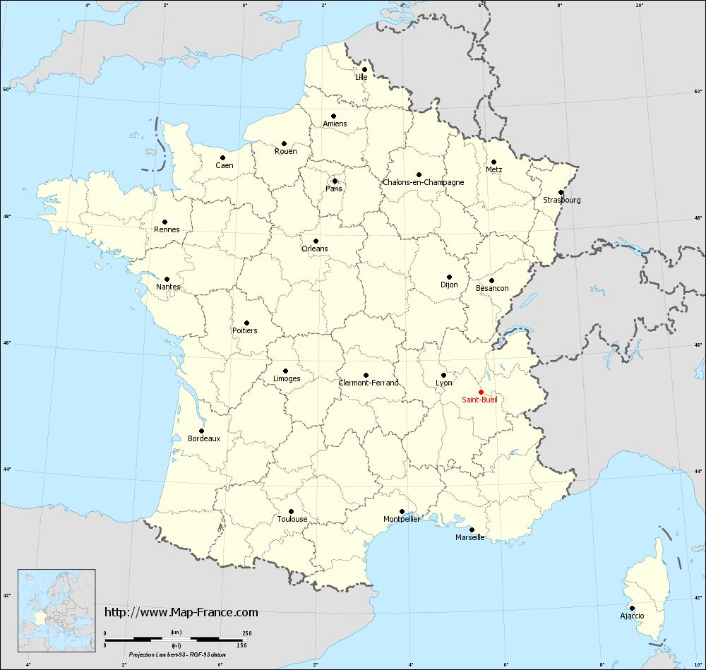
View the map of Saint-Bueil in full screen (1000 x 949)
|
You will find the location of Saint-Bueil on the map of France of regions in Lambert 93 coordinates. The town of Saint-Bueil is located in the department of Isère of the french region Rhône-Alpes.
Geographical sexagesimal coordinates / GPS (WGS84):
Latitude: 45° 28' 38'' North
Longitude: 05° 41' 23'' East
Geographical decimal coordinates :
Latitude: 45.477 degrees (45.477° North)
Longitude: 5.683 degrees (5.683° East)
Lambert 93 coordinates :
X: 9 101 hectometers
Y: 64 900 hectometers
Lambert 2 coordinates :
X: 8 621 hectometers
Y: 20 586 hectometers
Below, the geographical coordinates of Grenoble, prefecture of the Isère department:
Geographical sexagesimal coordinates / GPS (WGS84):
Latitude: 45° 11' 13'' North
Longitude: 05° 43' 35'' East
Geographical decimal coordinates :
Latitude: 45.185 degrees (45.185° North)
Longitude: 5.723 degrees (5.723° East)
Lambert 93 coordinates :
X: 9 141 hectometers
Y: 64 579 hectometers
Lambert 2 coordinates :
X: 8 664 hectometers
Y: 20 264 hectometers
|
This map of Saint-Bueil is reusable and modifiable by making a link to this page of the Map-France.com website or by using the given code :
|
Map of Saint-Bueil with departments and prefectures
|
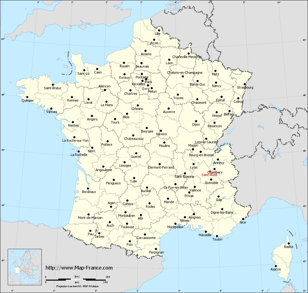
Voir la carte of Saint-Bueil en grand format (1000 x 949)
|
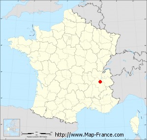
Here is the localization of Saint-Bueil on the France map of departments in Lambert 93 coordinates. The city of Saint-Bueil is shown on the map by a red point.
The town of Saint-Bueil is located in the department of Isère of the french region Rhône-Alpes.
The latitude of Saint-Bueil is 45.477 degrees North.
The longitude of Saint-Bueil is 5.683 degrees East.
Here the distance between Saint-Bueil and the biggest cities of France:
Distances are calculated as the crow flies (orthodromic distance)
Distance between Saint-Bueil and Paris : 452.53 kilometers
Distance between Saint-Bueil and Marseille : 243.23 kilometers
Distance between Saint-Bueil and Lyon : 73.01 kilometers
Distance between Saint-Bueil and Toulouse : 394.72 kilometers
Distance between Saint-Bueil and Nice : 233.08 kilometers
Distance between Saint-Bueil and Nantes : 587.54 kilometers
Distance between Saint-Bueil and Strasbourg : 379.21 kilometers
Distance between Saint-Bueil and Montpellier : 252.19 kilometers
Distance between Saint-Bueil and Bordeaux : 495.19 kilometers
Distance between Saint-Bueil and Lille : 604.8 kilometers
Distance between Saint-Bueil and Rennes : 631.41 kilometers
Distance between Saint-Bueil and Reims : 438.05 kilometers
Clic here to see the map of Saint-Bueil in full screen:
Saint-Bueil on the map of french departments
|
This administrative map of Saint-Bueil is reusable and modifiable by making a link to this page of the Map-France.com website or by using the given code :
|
Administrative base maps of Saint-Bueil
|

See the administrative base map of Saint-Bueil in full screen (1000 x 949)
|
Small administrative base map of Saint-Bueil
|
This base map administrative of Saint-Bueil is reusable and modifiable by making a link to this page of the Map-France.com website or by using the given code :
|
 French Version : http://www.cartesfrance.fr