Map of France

Saint-Clair-sur-l'Elle photos


Find a town, a zip code,
a department, a region... in France
I like Map-France.com !


Saint-Clair-sur-l'Elle pictures


Here are the photos of the town of Saint-Clair-sur-l'Elle and nearby towns. Saint-Clair-sur-l'Elle is located in the department of Manche in the region of Basse-Normandie. You will find the satellite map of Saint-Clair-sur-l'Elle under these photos.

To see photos of nearby towns of Saint-Clair-sur-l'Elle, you can try the following links :
   - Photo of Sainte-Marguerite-d'Elle (14330) : town located at 1.83 km
   - Photo of Moon-sur-Elle (50680) : town located at 2.02 km
   - Photo of Saint-Jean-de-Savigny (50680) : town located at 2.61 km
   - Photo of Couvains (50680) : town located at 3.41 km
   - Photo of Villiers-Fossard (50680) : town located at 4.36 km
   - Photo of Airel (50680) : town located at 5.13 km
   - Photo of Cartigny-l'Épinay (14330) : town located at 5.31 km
   - Photo of Saint-Fromond (50620) : town located at 5.77 km
   - Photo of La Luzerne (50680) : town located at 5.79 km
   - Photo of Saint-André-de-l'Épine (50680) : town located at 5.81 km
   - Photo of Cavigny (50620) : town located at 5.85 km
   - Photo of La Meauffe (50880) : town located at 6.04 km

 - photos of the department prefecture of Manche : photos of Saint-Lô
 - pictures of others cities of Manche : Manche


To see Saint-Clair-sur-l'Elle from the sky, here is the satellite map of the town of Saint-Clair-sur-l'Elle : Saint-Clair-sur-l'Elle map.

I like Saint-Clair-sur-l'Elle !


Photos of the town of Saint-Clair-sur-l'Elle

These photos taken near the town of Saint-Clair-sur-l'Elle can be shown in full screen clicking on the thumbnails. Photos are copyrighted by their owners.

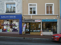
CORDONNERIE l-échoppe - Photo of Saint-Clair-sur-l'Elle
CORDONNERIE l-échoppe

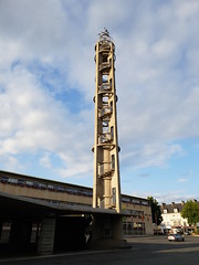
Saint-Lô - Photo of Saint-Clair-sur-l'Elle
Saint-Lô

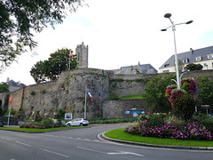
Saint-Lô - Photo of Saint-Clair-sur-l'Elle
Saint-Lô

Saint-Lô - Photo of Saint-Clair-sur-l'Elle
Saint-Lô

20210809_194201 - Photo of Saint-Clair-sur-l'Elle
20210809_194201

Saint-Lô - Photo of Saint-Clair-sur-l'Elle
Saint-Lô

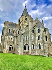
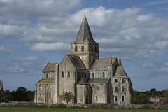
Abbey at Cerisy La Forêt - Photo of Saint-Clair-sur-l'Elle
Abbey at Cerisy La Forêt

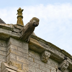
Gargouille de l-abbaye Saint Vigor (XIe) - Cerisy-la-Forêt - Normandie - Manche - France - Photo of Saint-Clair-sur-l'Elle
Gargouille de l-abbaye Saint Vigor (XIe) - Cerisy-la-Forêt - Normandie - Manche - France

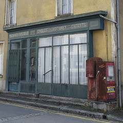
Vitrine ancienne à Cerisy-la-Forêt - Photo of Saint-Clair-sur-l'Elle
Vitrine ancienne à Cerisy-la-Forêt

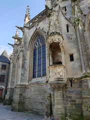
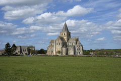
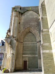
Abbaye Saint Vigor (XIe) - Vue Ouest - Photo of Saint-Clair-sur-l'Elle
Abbaye Saint Vigor (XIe) - Vue Ouest

Abbaye Saint Vigor (XIe) - Vue Ouest - Photo of Saint-Clair-sur-l'Elle
Abbaye Saint Vigor (XIe) - Vue Ouest

20200227_17h3245Em_Février - Photo of Saint-Clair-sur-l'Elle
20200227_17h3245Em_Février

Saint-Lô - Photo of Saint-Clair-sur-l'Elle
Saint-Lô


Saint-Clair-sur-l'Elle from the sky


Old photos of the town of Saint-Clair-sur-l'Elle

These photos taken near the town of Saint-Clair-sur-l'Elle can be shown in full screen clicking on the thumbnails. Photos are copyrighted by their owners.


Other maps, hotels and towns in france


Find another town, zip code, department, region, ...


Quick links Saint-Clair-sur-l'Elle :


Back to the menus Map of France :


Make a link to this page of Saint-Clair-sur-l'Elle with the following code :


Map of France | Regions | Departments | Cities | Partners | Terms | Contact