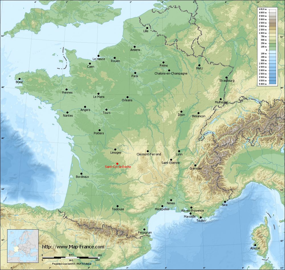
Saint-Cyr-la-Roche on the relief France map in Lambert 93 coordinates
|
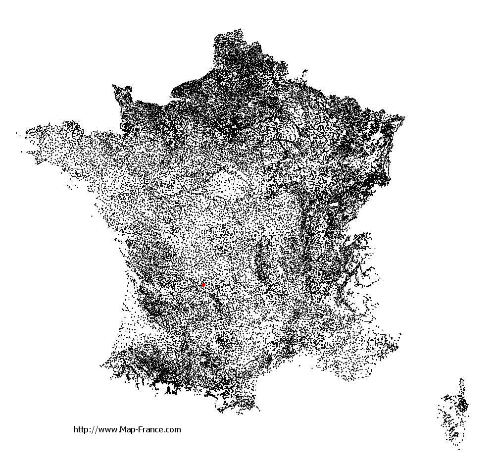
See the map of Saint-Cyr-la-Roche in full screen (1000 x 949)
|
At left, here is the location of Saint-Cyr-la-Roche on the relief France map in Lambert 93 coordinates.
Here are the altitudes of Saint-Cyr-la-Roche :
- Town hall altitude of Saint-Cyr-la-Roche is 180 meters
- Minimum altitude of Saint-Cyr-la-Roche is 112 meters
- Maximum altitude of Saint-Cyr-la-Roche is 229 meters
- Medium altitude of Saint-Cyr-la-Roche is 171 meters
Here are the altitudes of Tulle, prefecture of Corrèze department:
- Town hall altitude of Tulle is 220 meters
- Minimum altitude of Tulle is 185 meters
- Maximum altitude of Tulle is 460 meters
- Medium altitude of Tulle is 323 meters
Here are the altitudes of the french biggest cities:
Paris : 33 meters
Marseille : 20 meters
Lyon : 237 meters
Toulouse : 146 meters
Nice : 10 meters
Nantes : 20 meters
Strasbourg : 144 meters
Montpellier : 35 meters
Bordeaux : 16 meters
Lille : 20 meters
Rennes : 35 meters
Reims : 83 meters
Click here for the terrain map of Saint-Cyr-la-Roche in full screen:
Relief map of Saint-Cyr-la-Roche
|
This relief map of Saint-Cyr-la-Roche is reusable and modifiable by making a link to this page of the Map-France.com website or by using the given code :
|
Terrain base map of Saint-Cyr-la-Roche
|

See the terrain base map of Saint-Cyr-la-Roche in full screen (1000 x 949)
|
Small relief base map of Saint-Cyr-la-Roche
|
This base map of Saint-Cyr-la-Roche is reusable and modifiable by making a link to this page of the Map-France.com website or by using the given code :
|
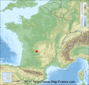
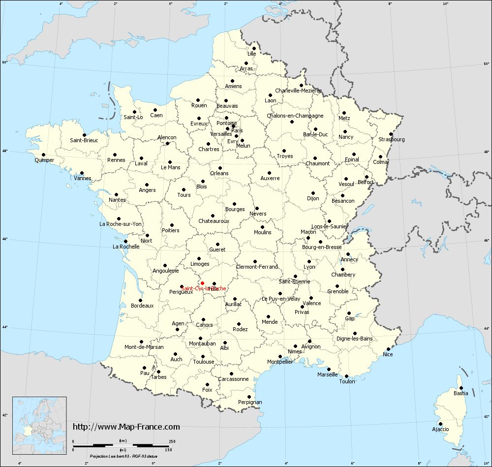
Map of Saint-Cyr-la-Roche with regions and prefectures
|
View the map of Saint-Cyr-la-Roche in full screen (1000 x 949)
|
You will find the location of Saint-Cyr-la-Roche on the map of France of regions in Lambert 93 coordinates. The town of Saint-Cyr-la-Roche is located in the department of Corrèze of the french region Limousin.
Geographical sexagesimal coordinates / GPS (WGS84):
Latitude: 45° 16' 17'' North
Longitude: 01° 23' 27'' East
Geographical decimal coordinates :
Latitude: 45.27 degrees (45.27° North)
Longitude: 1.392 degrees (1.392° East)
Lambert 93 coordinates :
X: 5 738 hectometers
Y: 64 648 hectometers
Lambert 2 coordinates :
X: 5 258 hectometers
Y: 20 305 hectometers
Below, the geographical coordinates of Tulle, prefecture of the Corrèze department:
Geographical sexagesimal coordinates / GPS (WGS84):
Latitude: 45° 15' 57'' North
Longitude: 01° 46' 20'' East
Geographical decimal coordinates :
Latitude: 45.263 degrees (45.263° North)
Longitude: 1.768 degrees (1.768° East)
Lambert 93 coordinates :
X: 6 037 hectometers
Y: 64 637 hectometers
Lambert 2 coordinates :
X: 5 557 hectometers
Y: 20 296 hectometers
|
This map of Saint-Cyr-la-Roche is reusable and modifiable by making a link to this page of the Map-France.com website or by using the given code :
|
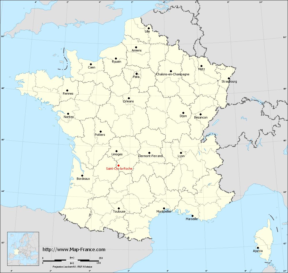
Map of Saint-Cyr-la-Roche with departments and prefectures
|
Voir la carte of Saint-Cyr-la-Roche en grand format (1000 x 949)
|
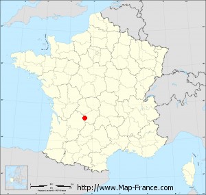
Here is the localization of Saint-Cyr-la-Roche on the France map of departments in Lambert 93 coordinates. The city of Saint-Cyr-la-Roche is shown on the map by a red point.
The town of Saint-Cyr-la-Roche is located in the department of Corrèze of the french region Limousin.
The latitude of Saint-Cyr-la-Roche is 45.27 degrees North.
The longitude of Saint-Cyr-la-Roche is 1.392 degrees East.
Here the distance between Saint-Cyr-la-Roche and the biggest cities of France:
Distances are calculated as the crow flies (orthodromic distance)
Distance between Saint-Cyr-la-Roche and Paris : 405.43 kilometers
Distance between Saint-Cyr-la-Roche and Marseille : 386.74 kilometers
Distance between Saint-Cyr-la-Roche and Lyon : 273.47 kilometers
Distance between Saint-Cyr-la-Roche and Toulouse : 185.6 kilometers
Distance between Saint-Cyr-la-Roche and Nice : 496.51 kilometers
Distance between Saint-Cyr-la-Roche and Nantes : 313.24 kilometers
Distance between Saint-Cyr-la-Roche and Strasbourg : 606.92 kilometers
Distance between Saint-Cyr-la-Roche and Montpellier : 269.84 kilometers
Distance between Saint-Cyr-la-Roche and Bordeaux : 161.51 kilometers
Distance between Saint-Cyr-la-Roche and Lille : 607.84 kilometers
Distance between Saint-Cyr-la-Roche and Rennes : 392.67 kilometers
Distance between Saint-Cyr-la-Roche and Reims : 485.65 kilometers
Clic here to see the map of Saint-Cyr-la-Roche in full screen:
Saint-Cyr-la-Roche on the map of french departments
|
This administrative map of Saint-Cyr-la-Roche is reusable and modifiable by making a link to this page of the Map-France.com website or by using the given code :
|
Administrative base maps of Saint-Cyr-la-Roche
|

See the administrative base map of Saint-Cyr-la-Roche in full screen (1000 x 949)
|
Small administrative base map of Saint-Cyr-la-Roche
|
This base map administrative of Saint-Cyr-la-Roche is reusable and modifiable by making a link to this page of the Map-France.com website or by using the given code :
|
 French Version : http://www.cartesfrance.fr