|
The village of Saint-Gervais is a small village located south east of France. The town of Saint-Gervais is located in the department of Isère of the french region Rhône-Alpes. The town of Saint-Gervais is located in the township of Vinay part of the district of Grenoble. The area code for Saint-Gervais is 38390 (also known as code INSEE), and the Saint-Gervais zip code is 38470.
Geography and map of Saint-Gervais :
The altitude of the city hall of Saint-Gervais is approximately 200 meters. The Saint-Gervais surface is 13.15 km ². The latitude and longitude of Saint-Gervais are 45.202 degrees North and 5.482 degrees East.
Nearby cities and towns of Saint-Gervais are :
L'Albenc (38470) at 1.18 km, Rovon (38470) at 1.38 km, La Rivière (38210) at 4.54 km, Poliénas (38210) at 5.44 km, Chantesse (38470) at 5.55 km, Autrans (38880) at 5.67 km, Vinay (38470) at 6.29 km, Cognin-les-Gorges (38470) at 6.42 km.
(The distances to these nearby towns of Saint-Gervais are calculated as the crow flies)
Population and housing of Saint-Gervais :
The population of Saint-Gervais was 378 in 1999, 512 in 2006 and 532 in 2007. The population density of Saint-Gervais is 40.46 inhabitants per km². The number of housing of Saint-Gervais was 218 in 2007. These homes of Saint-Gervais consist of 200 main residences, 11 second or occasional homes and 8 vacant homes. |
|
|
Hotel Saint-Gervais
|
|
|
Book now ! Best Price Guaranteed, no booking fees, pay at the hotel with our partner Booking.com, leader in online hotel reservation.
Find all hotels of Saint-Gervais : Hotel Saint-Gervais
| |
|
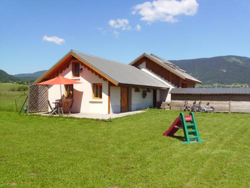
Guest accommodation : Gite Waykiu
Located 500 metres from the city centre of Autrans, Gite Waykiu offers accommodation with mountain views, just 7 km from Sure. This cottage features a terrace with garden views ...
Address : Payenat 666 route de la tuilerie 38880 Autrans
Distance Guest accommodation - Saint-Gervais : 4.97 km
|
|
|
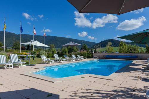
Warm and quiet hotel of 17 pleasant bedrooms overlooking the surrounding nature. Terrace, park, swimming-pool surrounded by greenery. Restaurant with fireplace, lounges, bar, s...
Price : from 81.37 €
to 133.90 €
Contact : 355 route de Nave 38880 Autrans
Distance Hotel - Saint-Gervais : 5.13 km
|
|
|
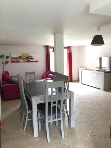
Apartment : Les Ptits Loups
  
Les Ptits Loups is set in Autrans, 300 metres from the village centre and 5 km from Méaudre. Cross-country skiing can be enjoyed nearby. 2 private parking spaces are available o...
Contact : 218 Route de Meaudre 38880 Autrans
Distance Apartment - Saint-Gervais : 5.55 km
|
|
|
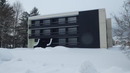
Apartment : le Vercors en toute simplicite
 
Le Vercors en toute simplicite offers accommodation in Autrans, 5 km from Sure and 6 km from Combe de la Quoi. The property has mountain views and is 7 km from Grande Breche I a...
Contact : 300 route de Geve 38880 Autrans
Distance Apartment - Saint-Gervais : 5.57 km
|
|
|
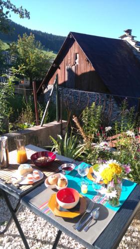
Guest accommodation : Le Petit Chalande
  
Situated in Autrans and with Sure reachable within 7 km, Le Petit Chalande provides ski-to-door access, non-smoking rooms, free WiFi and a garden. Offering a shared lounge, the ...
Address : 31 Rue Du Cinéma 38880 Autrans
Distance Guest accommodation - Saint-Gervais : 5.58 km
|
|
|
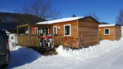
Guest accommodation : Camping Le Vercors
  
Featuring free WiFi and a seasonal outdoor covered heated pool, Camping Le Vercors is located in Autrans, 6 km from Sure. Quoi Ski Lift is 7 km away. Free private parking is ava...
Contact : 115 Rue de la Croze 38880 Autrans
Distance Guest accommodation - Saint-Gervais : 5.67 km
|
|
|
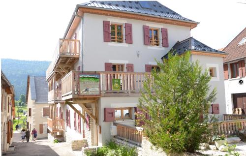
La Chalande apartments are situated in Autrans ski resort in Vercors Regional Natural Park. These spacious apartments all feature stone walls and wooden beams, each has a terrac...
Rate : from 85.00 €
Contact : Place du Village 38880 Autrans
Distance Apartment - Saint-Gervais : 5.67 km
|
|
|
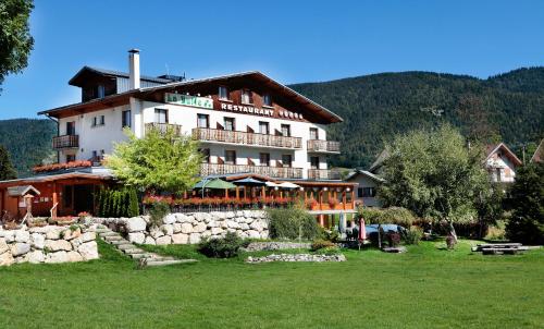
Hotel : Logis De La Buffe
  
Situated at the centre of the village, the hotel "De la Buffe" is a friendly mountain hotel which welcomes guests all year round for a pleasant stay in the wide open spaces and ...
Price : from 119.00 €
to 144.00 €
Contact : La Scie 38880 Autrans
Distance Hotel - Saint-Gervais : 5.73 km
|
|
|
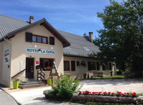
Hotel : Hôtel La Tapia
 
Featuring a terrace, a garden and a children’s playground, Hôtel La Tapia is located in Autrans. The property has a restaurant on site and offers free WiFi access. Each room fe...
Address : 8 Chemin du Marche 38880 Autrans
Distance Hotel - Saint-Gervais : 5.74 km
|
|
|
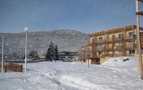
Guest accommodation : Résidence Odalys Le Sornin
 

Situated 600 metres from the centre of Autrans ski resort in the Vercors National Park, Résidence Odalys Le Sornin offers fully furnished accommodation and free parking is avail...
Rate : from 75.00 €
to 999.00 €
Contact : Centre Olympique 38880 Autrans
Distance Guest accommodation - Saint-Gervais : 5.80 km
|
|
Find another hotel near Saint-Gervais : Saint-Gervais hotels list
|
Map of Saint-Gervais
|
|
Map of Saint-Gervais :
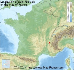
At right you can find the localization of Saint-Gervais on the map of France. Below, this is the satellite map of Saint-Gervais. A road map, and maps templates of Saint-Gervais are available here : "road map of Saint-Gervais". This map show Saint-Gervais seen by the satellite of Google Map. To see the streets of Saint-Gervais or move on another zone, use the buttons "zoom" and "map" on top of this dynamic map.
Search on the map of Saint-Gervais :
To search hotels, housings, tourist information office, administrations or other services, use the Google search integrated to the map on the following page : "map Saint-Gervais".
Hotels of Saint-Gervais are listed on the map with the following icons: 
The map of Saint-Gervais is centred in the following coordinates :
|
|
|
|
|
Print the map of Saint-Gervais

Print the map of Saint-Gervais : map of Saint-Gervais
|
Photos Saint-Gervais
|
See all photos of Saint-Gervais :
Other photos of Saint-Gervais and nearby towns can be found here: photos Saint-Gervais
|
|
Saint-Gervais weather forecast
Find next hours and 7 days weather forecast for Saint-Gervais here : weather Saint-Gervais (with english metrics)
This is the last weather forecast for Saint-Gervais collected by the nearest observation station of Vinay.
Week Forecast:
The latest weather data for Saint-Gervais were collected Monday, 14 April 2025 at 19:05 from the nearest observation station of Vinay.
| Monday, April 14th |
17°C 11°C
94%
97%
|
Drizzle
Temperature Max: 17°C Temperature Min: 11°C
Precipitation Probability: 94% (Rain)
Percentage of sky occluded by clouds: 97%
Wind speed: 5 km/h North
Humidity: 83%° UV Index: 3
Sunrise: 06:55 Sunset: 20:23 |
|
| | Tuesday, April 15th |
19°C 11°C
96%
85%
|
Rain
Temperature Max: 19°C Temperature Min: 11°C
Precipitation Probability: 96% (Rain)
Percentage of sky occluded by clouds: 85%
Wind speed: 10 km/h North-East
Humidity: 72%° UV Index: 4
Sunrise: 06:53 Sunset: 20:24 |
|
| | Wednesday, April 16th |
11°C 7°C
95%
99%
|
Rain
Temperature Max: 11°C Temperature Min: 7°C
Precipitation Probability: 95% (Rain)
Percentage of sky occluded by clouds: 99%
Wind speed: 7 km/h South
Humidity: 87%° UV Index: 3
Sunrise: 06:51 Sunset: 20:25 |
|
| | Thursday, April 17th |
8°C 4°C
83%
95%
|
Rain
Temperature Max: 8°C Temperature Min: 4°C
Precipitation Probability: 83% (Rain)
Percentage of sky occluded by clouds: 95%
Wind speed: 15 km/h South
Humidity: 85%° UV Index: 3
Sunrise: 06:49 Sunset: 20:27 |
|
|
Attribution: 
|
|
Other maps, hotels and towns in france
Find another town, zip code, department, region, ...
Quick links Saint-Gervais :
Make a link to this page of Saint-Gervais with the following code :
|
|
|

 French Version : http://www.cartesfrance.fr/carte-france-ville/38390_Saint-Gervais.html


