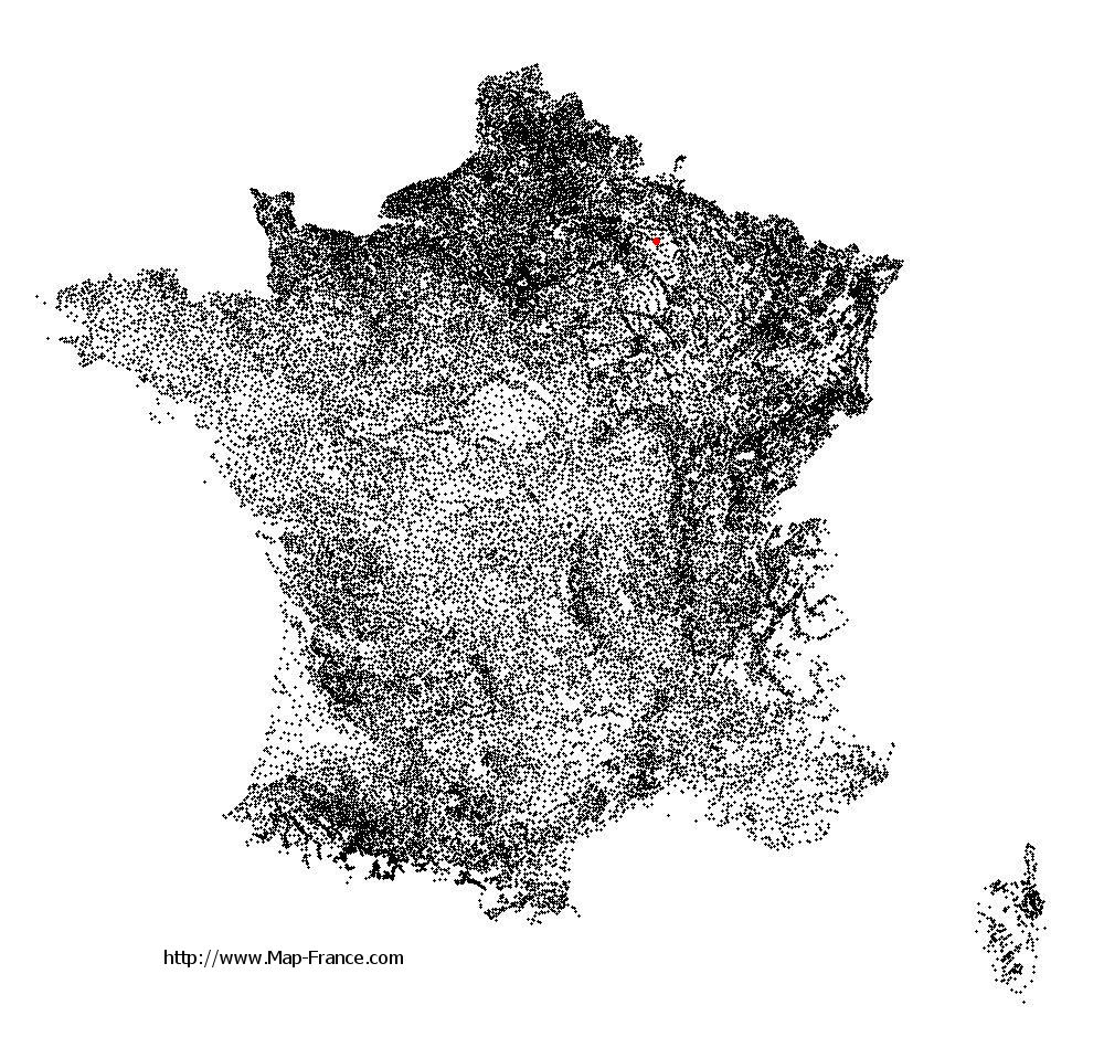
Map of Saint-Hilaire-le-Petit with regions and prefectures
|
View the map of Saint-Hilaire-le-Petit in full screen (1000 x 949)
|
You will find the location of Saint-Hilaire-le-Petit on the map of France of regions in Lambert 93 coordinates. The town of Saint-Hilaire-le-Petit is located in the department of Marne of the french region Champagne-Ardenne.
Geographical sexagesimal coordinates / GPS (WGS84):
Latitude: 49° 16' 25'' North
Longitude: 04° 23' 23'' East
Geographical decimal coordinates :
Latitude: 49.274 degrees (49.274° North)
Longitude: 4.389 degrees (4.389° East)
Lambert 93 coordinates :
X: 8 011 hectometers
Y: 69 091 hectometers
Lambert 2 coordinates :
X: 7 495 hectometers
Y: 24 771 hectometers
Below, the geographical coordinates of Châlons-en-Champagne, prefecture of the Marne department:
Geographical sexagesimal coordinates / GPS (WGS84):
Latitude: 48° 57' 24'' North
Longitude: 04° 21' 52'' East
Geographical decimal coordinates :
Latitude: 48.957 degrees (48.957° North)
Longitude: 4.362 degrees (4.362° East)
Lambert 93 coordinates :
X: 7 999 hectometers
Y: 68 738 hectometers
Lambert 2 coordinates :
X: 7 486 hectometers
Y: 24 417 hectometers
|
This map of Saint-Hilaire-le-Petit is reusable and modifiable by making a link to this page of the Map-France.com website or by using the given code :
|
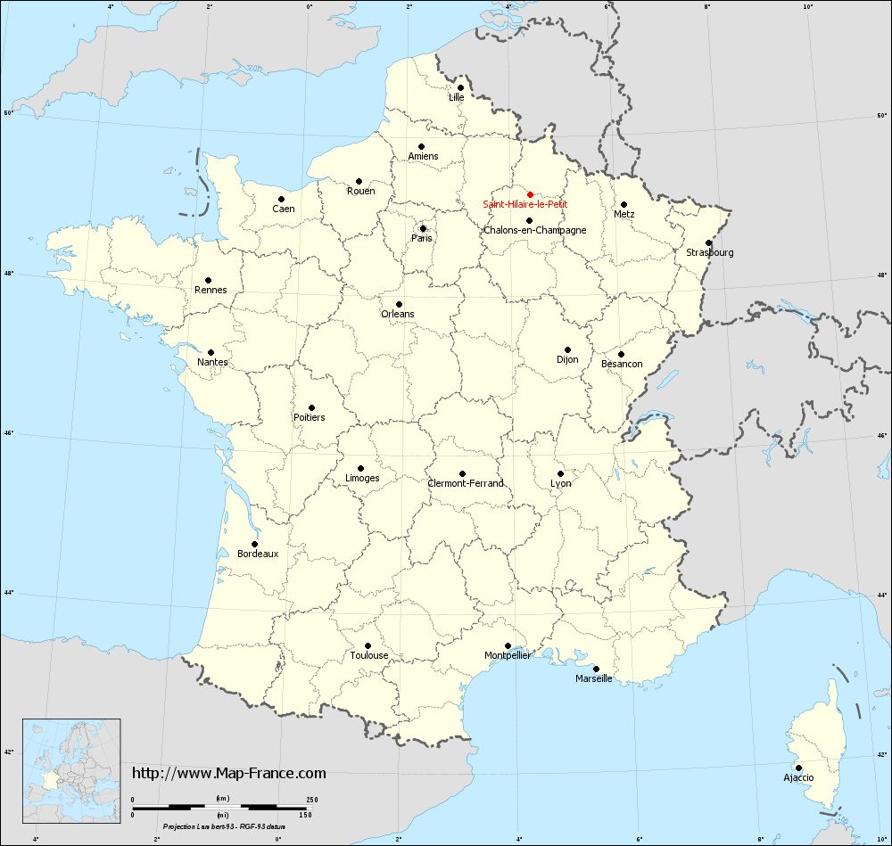
Map of Saint-Hilaire-le-Petit with departments and prefectures
|
Voir la carte of Saint-Hilaire-le-Petit en grand format (1000 x 949)
|
Here is the localization of Saint-Hilaire-le-Petit on the France map of departments in Lambert 93 coordinates. The city of Saint-Hilaire-le-Petit is shown on the map by a red point.
The town of Saint-Hilaire-le-Petit is located in the department of Marne of the french region Champagne-Ardenne.
The latitude of Saint-Hilaire-le-Petit is 49.274 degrees North.
The longitude of Saint-Hilaire-le-Petit is 4.389 degrees East.
Here the distance between Saint-Hilaire-le-Petit and the biggest cities of France:
Distances are calculated as the crow flies (orthodromic distance)
Distance between Saint-Hilaire-le-Petit and Paris : 155.68 kilometers
Distance between Saint-Hilaire-le-Petit and Marseille : 668.55 kilometers
Distance between Saint-Hilaire-le-Petit and Lyon : 391.89 kilometers
Distance between Saint-Hilaire-le-Petit and Toulouse : 669.27 kilometers
Distance between Saint-Hilaire-le-Petit and Nice : 656.39 kilometers
Distance between Saint-Hilaire-le-Petit and Nantes : 495.28 kilometers
Distance between Saint-Hilaire-le-Petit and Strasbourg : 257.38 kilometers
Distance between Saint-Hilaire-le-Petit and Montpellier : 630.68 kilometers
Distance between Saint-Hilaire-le-Petit and Bordeaux : 619.05 kilometers
Distance between Saint-Hilaire-le-Petit and Lille : 178.51 kilometers
Distance between Saint-Hilaire-le-Petit and Rennes : 463.51 kilometers
Distance between Saint-Hilaire-le-Petit and Reims : 26.02 kilometers
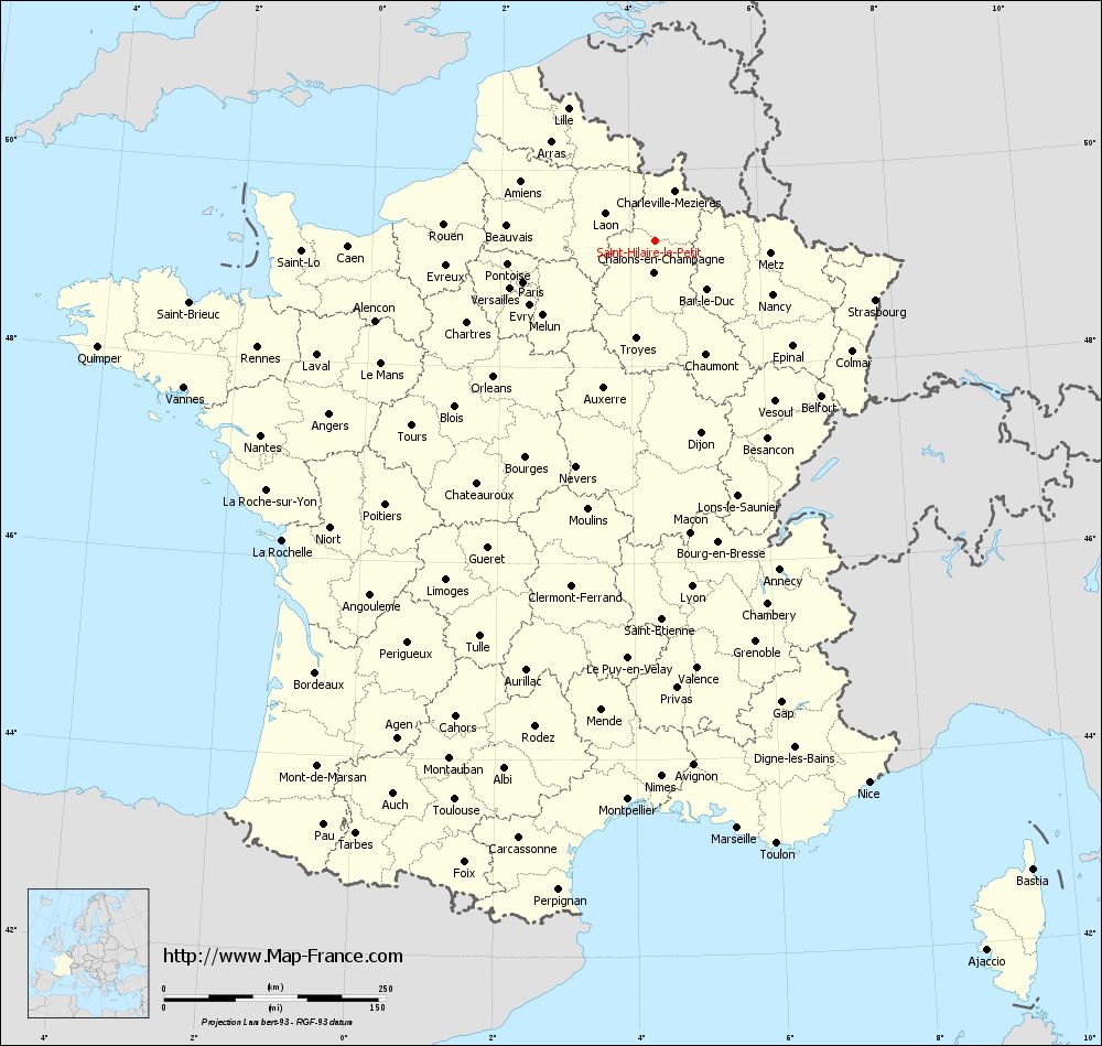
Clic here to see the map of Saint-Hilaire-le-Petit in full screen:
Saint-Hilaire-le-Petit on the map of french departments
|
This administrative map of Saint-Hilaire-le-Petit is reusable and modifiable by making a link to this page of the Map-France.com website or by using the given code :
|
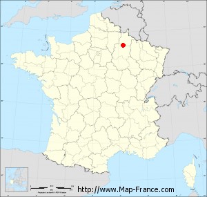
Administrative base maps of Saint-Hilaire-le-Petit
|

See the administrative base map of Saint-Hilaire-le-Petit in full screen (1000 x 949)
|
Small administrative base map of Saint-Hilaire-le-Petit
|
This base map administrative of Saint-Hilaire-le-Petit is reusable and modifiable by making a link to this page of the Map-France.com website or by using the given code :
|
 French Version : http://www.cartesfrance.fr