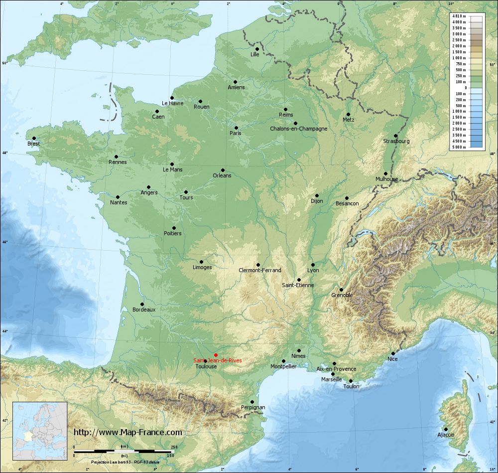
Saint-Jean-de-Rives on the relief France map in Lambert 93 coordinates
|
See the map of Saint-Jean-de-Rives in full screen (1000 x 949)
|
At left, here is the location of Saint-Jean-de-Rives on the relief France map in Lambert 93 coordinates.
Here are the altitudes of Saint-Jean-de-Rives :
- Town hall altitude of Saint-Jean-de-Rives is 120 meters
- Minimum altitude of Saint-Jean-de-Rives is 95 meters
- Maximum altitude of Saint-Jean-de-Rives is 207 meters
- Medium altitude of Saint-Jean-de-Rives is 151 meters
Here are the altitudes of Albi, prefecture of Tarn department:
- Town hall altitude of Albi is 174 meters
- Minimum altitude of Albi is 130 meters
- Maximum altitude of Albi is 308 meters
- Medium altitude of Albi is 219 meters
Here are the altitudes of the french biggest cities:
Paris : 33 meters
Marseille : 20 meters
Lyon : 237 meters
Toulouse : 146 meters
Nice : 10 meters
Nantes : 20 meters
Strasbourg : 144 meters
Montpellier : 35 meters
Bordeaux : 16 meters
Lille : 20 meters
Rennes : 35 meters
Reims : 83 meters
Click here for the terrain map of Saint-Jean-de-Rives in full screen:
Relief map of Saint-Jean-de-Rives
|
This relief map of Saint-Jean-de-Rives is reusable and modifiable by making a link to this page of the Map-France.com website or by using the given code :
|
Terrain base map of Saint-Jean-de-Rives
|

See the terrain base map of Saint-Jean-de-Rives in full screen (1000 x 949)
|
Small relief base map of Saint-Jean-de-Rives
|
This base map of Saint-Jean-de-Rives is reusable and modifiable by making a link to this page of the Map-France.com website or by using the given code :
|
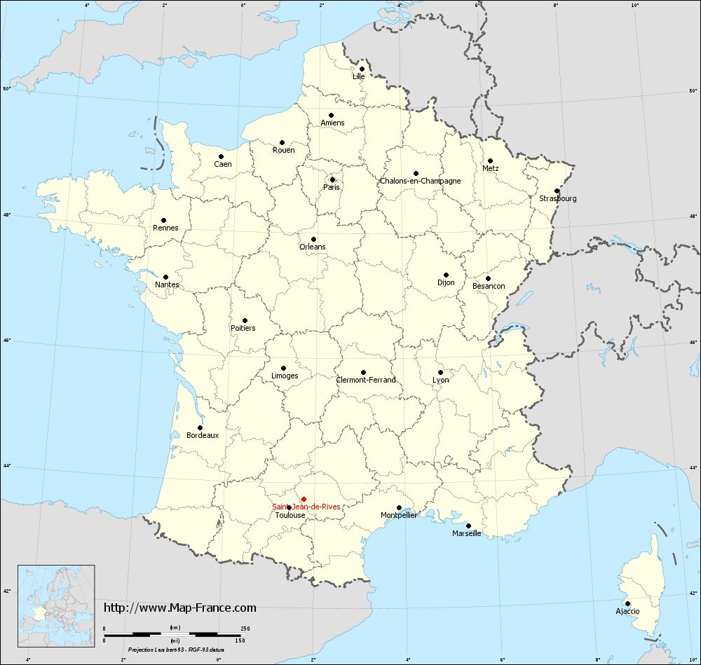
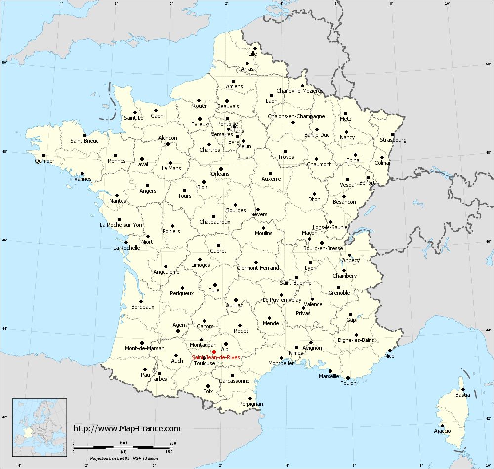
Map of Saint-Jean-de-Rives with regions and prefectures
|
View the map of Saint-Jean-de-Rives in full screen (1000 x 949)
|
You will find the location of Saint-Jean-de-Rives on the map of France of regions in Lambert 93 coordinates. The town of Saint-Jean-de-Rives is located in the department of Tarn of the french region Midi-Pyrénées.
Geographical sexagesimal coordinates / GPS (WGS84):
Latitude: 43° 44' 36'' North
Longitude: 01° 46' 30'' East
Geographical decimal coordinates :
Latitude: 43.744 degrees (43.744° North)
Longitude: 1.775 degrees (1.775° East)
Lambert 93 coordinates :
X: 6 013 hectometers
Y: 62 946 hectometers
Lambert 2 coordinates :
X: 5 547 hectometers
Y: 18 603 hectometers
Below, the geographical coordinates of Albi, prefecture of the Tarn department:
Geographical sexagesimal coordinates / GPS (WGS84):
Latitude: 43° 55' 41'' North
Longitude: 02° 08' 45'' East
Geographical decimal coordinates :
Latitude: 43.928 degrees (43.928° North)
Longitude: 2.143 degrees (2.143° East)
Lambert 93 coordinates :
X: 6 314 hectometers
Y: 63 147 hectometers
Lambert 2 coordinates :
X: 5 847 hectometers
Y: 18 807 hectometers
|
This map of Saint-Jean-de-Rives is reusable and modifiable by making a link to this page of the Map-France.com website or by using the given code :
|
Map of Saint-Jean-de-Rives with departments and prefectures
|
Voir la carte of Saint-Jean-de-Rives en grand format (1000 x 949)
|
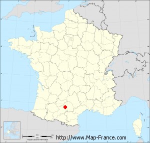
Here is the localization of Saint-Jean-de-Rives on the France map of departments in Lambert 93 coordinates. The city of Saint-Jean-de-Rives is shown on the map by a red point.
The town of Saint-Jean-de-Rives is located in the department of Tarn of the french region Midi-Pyrénées.
The latitude of Saint-Jean-de-Rives is 43.744 degrees North.
The longitude of Saint-Jean-de-Rives is 1.775 degrees East.
Here the distance between Saint-Jean-de-Rives and the biggest cities of France:
Distances are calculated as the crow flies (orthodromic distance)
Distance between Saint-Jean-de-Rives and Paris : 570.2 kilometers
Distance between Saint-Jean-de-Rives and Marseille : 296.17 kilometers
Distance between Saint-Jean-de-Rives and Lyon : 329.28 kilometers
Distance between Saint-Jean-de-Rives and Toulouse : 30.6 kilometers
Distance between Saint-Jean-de-Rives and Nice : 440.52 kilometers
Distance between Saint-Jean-de-Rives and Nantes : 465.02 kilometers
Distance between Saint-Jean-de-Rives and Strasbourg : 707.41 kilometers
Distance between Saint-Jean-de-Rives and Montpellier : 169.34 kilometers
Distance between Saint-Jean-de-Rives and Bordeaux : 223.24 kilometers
Distance between Saint-Jean-de-Rives and Lille : 770.83 kilometers
Distance between Saint-Jean-de-Rives and Rennes : 553.39 kilometers
Distance between Saint-Jean-de-Rives and Reims : 636.42 kilometers
Clic here to see the map of Saint-Jean-de-Rives in full screen:
Saint-Jean-de-Rives on the map of french departments
|
This administrative map of Saint-Jean-de-Rives is reusable and modifiable by making a link to this page of the Map-France.com website or by using the given code :
|
Administrative base maps of Saint-Jean-de-Rives
|

See the administrative base map of Saint-Jean-de-Rives in full screen (1000 x 949)
|
Small administrative base map of Saint-Jean-de-Rives
|
This base map administrative of Saint-Jean-de-Rives is reusable and modifiable by making a link to this page of the Map-France.com website or by using the given code :
|
 French Version : http://www.cartesfrance.fr