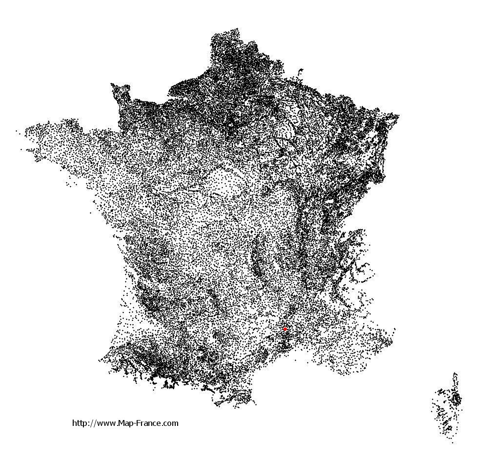
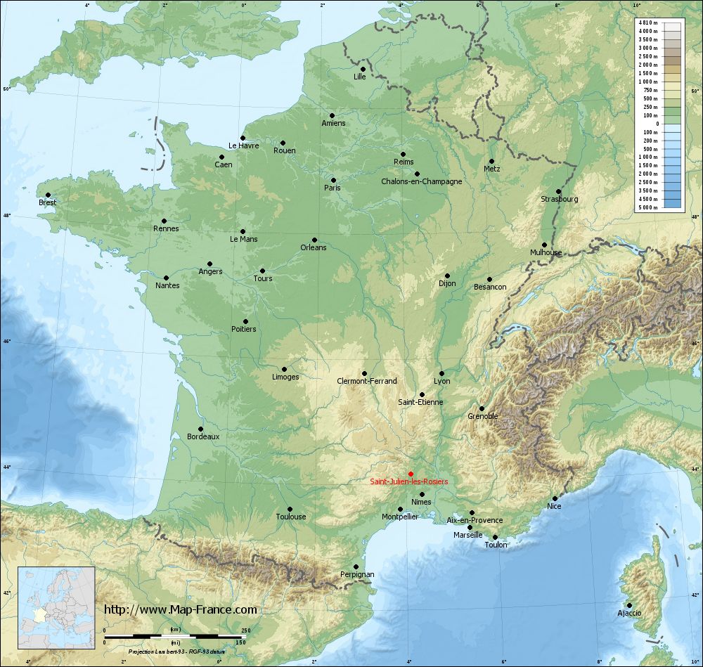
Saint-Julien-les-Rosiers on the relief France map in Lambert 93 coordinates
|
See the map of Saint-Julien-les-Rosiers in full screen (1000 x 949)
|
At left, here is the location of Saint-Julien-les-Rosiers on the relief France map in Lambert 93 coordinates.
Here are the altitudes of Saint-Julien-les-Rosiers :
- Town hall altitude of Saint-Julien-les-Rosiers is 169 meters
- Minimum altitude of Saint-Julien-les-Rosiers is 158 meters
- Maximum altitude of Saint-Julien-les-Rosiers is 545 meters
- Medium altitude of Saint-Julien-les-Rosiers is 352 meters
Here are the altitudes of Nîmes, prefecture of Gard department:
- Town hall altitude of Nîmes is 46 meters
- Minimum altitude of Nîmes is 21 meters
- Maximum altitude of Nîmes is 215 meters
- Medium altitude of Nîmes is 118 meters
Here are the altitudes of the french biggest cities:
Paris : 33 meters
Marseille : 20 meters
Lyon : 237 meters
Toulouse : 146 meters
Nice : 10 meters
Nantes : 20 meters
Strasbourg : 144 meters
Montpellier : 35 meters
Bordeaux : 16 meters
Lille : 20 meters
Rennes : 35 meters
Reims : 83 meters
Click here for the terrain map of Saint-Julien-les-Rosiers in full screen:
Relief map of Saint-Julien-les-Rosiers
|
This relief map of Saint-Julien-les-Rosiers is reusable and modifiable by making a link to this page of the Map-France.com website or by using the given code :
|
Terrain base map of Saint-Julien-les-Rosiers
|

See the terrain base map of Saint-Julien-les-Rosiers in full screen (1000 x 949)
|
Small relief base map of Saint-Julien-les-Rosiers

|
This base map of Saint-Julien-les-Rosiers is reusable and modifiable by making a link to this page of the Map-France.com website or by using the given code :
|
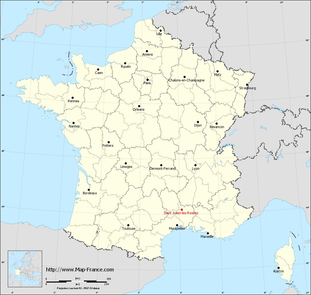
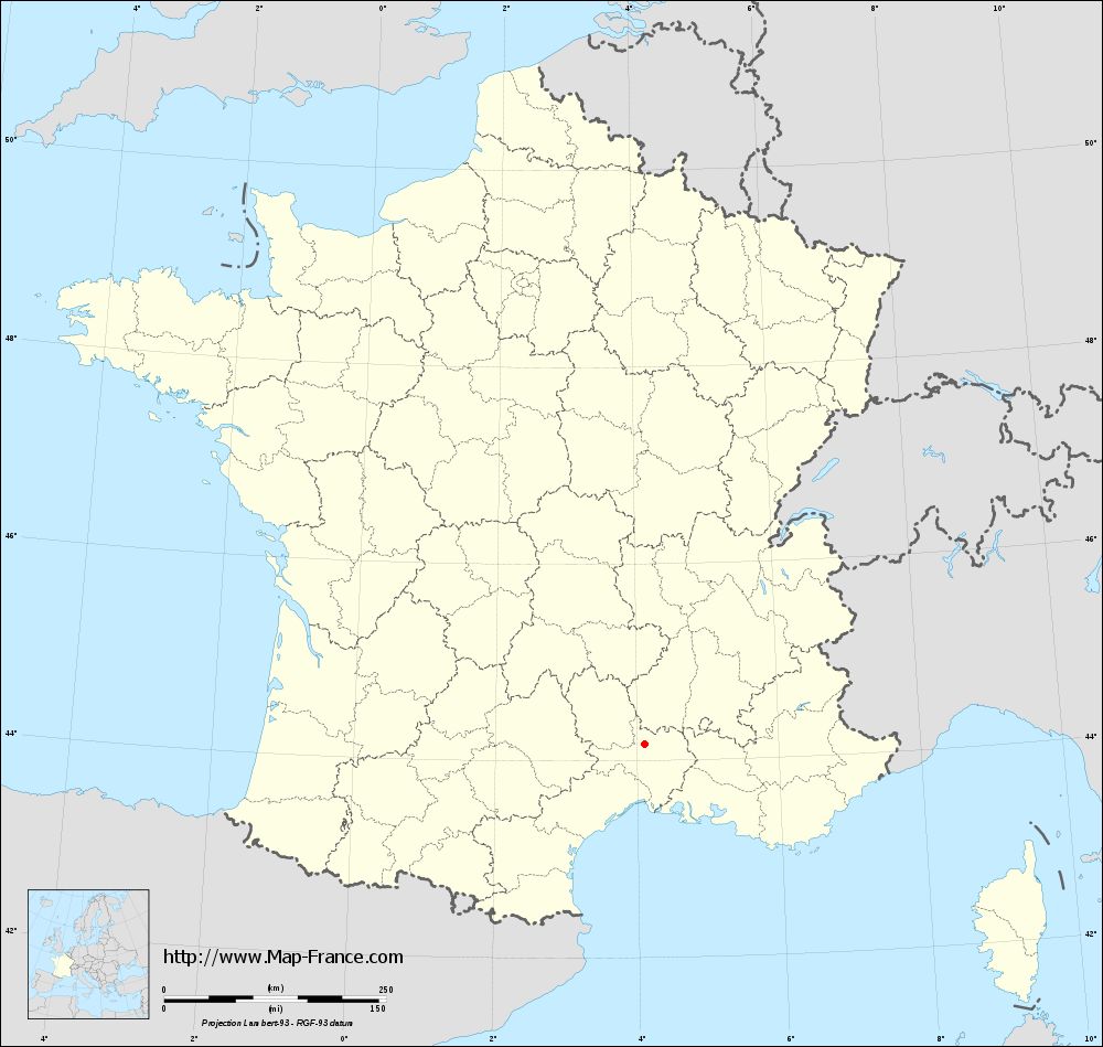
Map of Saint-Julien-les-Rosiers with regions and prefectures
|
View the map of Saint-Julien-les-Rosiers in full screen (1000 x 949)
|
You will find the location of Saint-Julien-les-Rosiers on the map of France of regions in Lambert 93 coordinates. The city of Saint-Julien-les-Rosiers is located in the department of Gard of the french region Languedoc-Roussillon.
Geographical sexagesimal coordinates / GPS (WGS84):
Latitude: 44° 10' 26'' North
Longitude: 04° 06' 33'' East
Geographical decimal coordinates :
Latitude: 44.172 degrees (44.172° North)
Longitude: 4.106 degrees (4.106° East)
Lambert 93 coordinates :
X: 7 887 hectometers
Y: 63 423 hectometers
Lambert 2 coordinates :
X: 7 419 hectometers
Y: 19 097 hectometers
Below, the geographical coordinates of Nîmes, prefecture of the Gard department:
Geographical sexagesimal coordinates / GPS (WGS84):
Latitude: 43° 50' 13'' North
Longitude: 04° 21' 36'' East
Geographical decimal coordinates :
Latitude: 43.839 degrees (43.839° North)
Longitude: 4.361 degrees (4.361° East)
Lambert 93 coordinates :
X: 8 094 hectometers
Y: 63 052 hectometers
Lambert 2 coordinates :
X: 7 629 hectometers
Y: 18 727 hectometers
|
This map of Saint-Julien-les-Rosiers is reusable and modifiable by making a link to this page of the Map-France.com website or by using the given code :
|
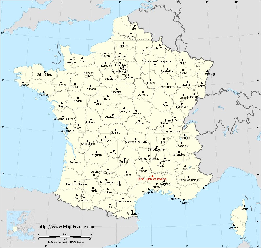
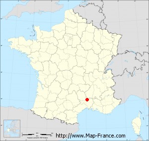
Map of Saint-Julien-les-Rosiers with departments and prefectures
|
Voir la carte of Saint-Julien-les-Rosiers en grand format (1000 x 949)
|
Here is the localization of Saint-Julien-les-Rosiers on the France map of departments in Lambert 93 coordinates. The city of Saint-Julien-les-Rosiers is shown on the map by a red point.
The city of Saint-Julien-les-Rosiers is located in the department of Gard of the french region Languedoc-Roussillon.
The latitude of Saint-Julien-les-Rosiers is 44.172 degrees North.
The longitude of Saint-Julien-les-Rosiers is 4.106 degrees East.
Here the distance between Saint-Julien-les-Rosiers and the biggest cities of France:
Distances are calculated as the crow flies (orthodromic distance)
Distance between Saint-Julien-les-Rosiers and Paris : 538 kilometers
Distance between Saint-Julien-les-Rosiers and Marseille : 142.21 kilometers
Distance between Saint-Julien-les-Rosiers and Lyon : 185.45 kilometers
Distance between Saint-Julien-les-Rosiers and Toulouse : 221.96 kilometers
Distance between Saint-Julien-les-Rosiers and Nice : 257.74 kilometers
Distance between Saint-Julien-les-Rosiers and Nantes : 554.32 kilometers
Distance between Saint-Julien-les-Rosiers and Strasbourg : 564.28 kilometers
Distance between Saint-Julien-les-Rosiers and Montpellier : 65.28 kilometers
Distance between Saint-Julien-les-Rosiers and Bordeaux : 378.27 kilometers
Distance between Saint-Julien-les-Rosiers and Lille : 721.69 kilometers
Distance between Saint-Julien-les-Rosiers and Rennes : 623.88 kilometers
Distance between Saint-Julien-les-Rosiers and Reims : 565.1 kilometers
Clic here to see the map of Saint-Julien-les-Rosiers in full screen:
Saint-Julien-les-Rosiers on the map of french departments
|
This administrative map of Saint-Julien-les-Rosiers is reusable and modifiable by making a link to this page of the Map-France.com website or by using the given code :
|
Administrative base maps of Saint-Julien-les-Rosiers
|
See the administrative base map of Saint-Julien-les-Rosiers in full screen (1000 x 949)
|
Small administrative base map of Saint-Julien-les-Rosiers
|
This base map administrative of Saint-Julien-les-Rosiers is reusable and modifiable by making a link to this page of the Map-France.com website or by using the given code :
|
 French Version : http://www.cartesfrance.fr