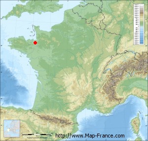
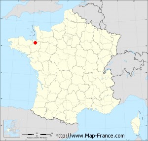
Map of Saint-Léger-des-Prés with regions and prefectures
|
View the map of Saint-Léger-des-Prés in full screen (1000 x 949)
|
You will find the location of Saint-Léger-des-Prés on the map of France of regions in Lambert 93 coordinates. The town of Saint-Léger-des-Prés is located in the department of Ille-et-Vilaine of the french region Bretagne.
Geographical sexagesimal coordinates / GPS (WGS84):
Latitude: 48° 23' 43'' North
Longitude: 01° 39' 06'' West
Geographical decimal coordinates :
Latitude: 48.395 degrees (48.395° North)
Longitude: -1.651 degrees (1.651° West)
Lambert 93 coordinates :
X: 3 559 hectometers
Y: 68 207 hectometers
Lambert 2 coordinates :
X: 3 047 hectometers
Y: 23 849 hectometers
Below, the geographical coordinates of Rennes, prefecture of the Ille-et-Vilaine department:
Geographical sexagesimal coordinates / GPS (WGS84):
Latitude: 48° 06' 51'' North
Longitude: 01° 40' 51'' West
Geographical decimal coordinates :
Latitude: 48.108 degrees (48.108° North)
Longitude: -1.68 degrees (1.68° West)
Lambert 93 coordinates :
X: 3 519 hectometers
Y: 67 896 hectometers
Lambert 2 coordinates :
X: 3 010 hectometers
Y: 23 538 hectometers
|
This map of Saint-Léger-des-Prés is reusable and modifiable by making a link to this page of the Map-France.com website or by using the given code :
|
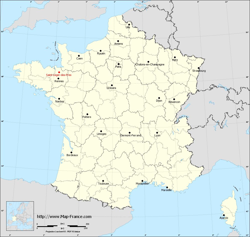
Map of Saint-Léger-des-Prés with departments and prefectures
|
Voir la carte of Saint-Léger-des-Prés en grand format (1000 x 949)
|
Here is the localization of Saint-Léger-des-Prés on the France map of departments in Lambert 93 coordinates. The city of Saint-Léger-des-Prés is shown on the map by a red point.
The town of Saint-Léger-des-Prés is located in the department of Ille-et-Vilaine of the french region Bretagne.
The latitude of Saint-Léger-des-Prés is 48.395 degrees North.
The longitude of Saint-Léger-des-Prés is 1.651 degrees West.
Here the distance between Saint-Léger-des-Prés and the biggest cities of France:
Distances are calculated as the crow flies (orthodromic distance)
Distance between Saint-Léger-des-Prés and Paris : 297.98 kilometers
Distance between Saint-Léger-des-Prés and Marseille : 785.82 kilometers
Distance between Saint-Léger-des-Prés and Lyon : 571.16 kilometers
Distance between Saint-Léger-des-Prés and Toulouse : 583.93 kilometers
Distance between Saint-Léger-des-Prés and Nice : 861.49 kilometers
Distance between Saint-Léger-des-Prés and Nantes : 130.84 kilometers
Distance between Saint-Léger-des-Prés and Strasbourg : 692.56 kilometers
Distance between Saint-Léger-des-Prés and Montpellier : 681.24 kilometers
Distance between Saint-Léger-des-Prés and Bordeaux : 403.08 kilometers
Distance between Saint-Léger-des-Prés and Lille : 419.75 kilometers
Distance between Saint-Léger-des-Prés and Rennes : 31.98 kilometers
Distance between Saint-Léger-des-Prés and Reims : 426.44 kilometers
Clic here to see the map of Saint-Léger-des-Prés in full screen:
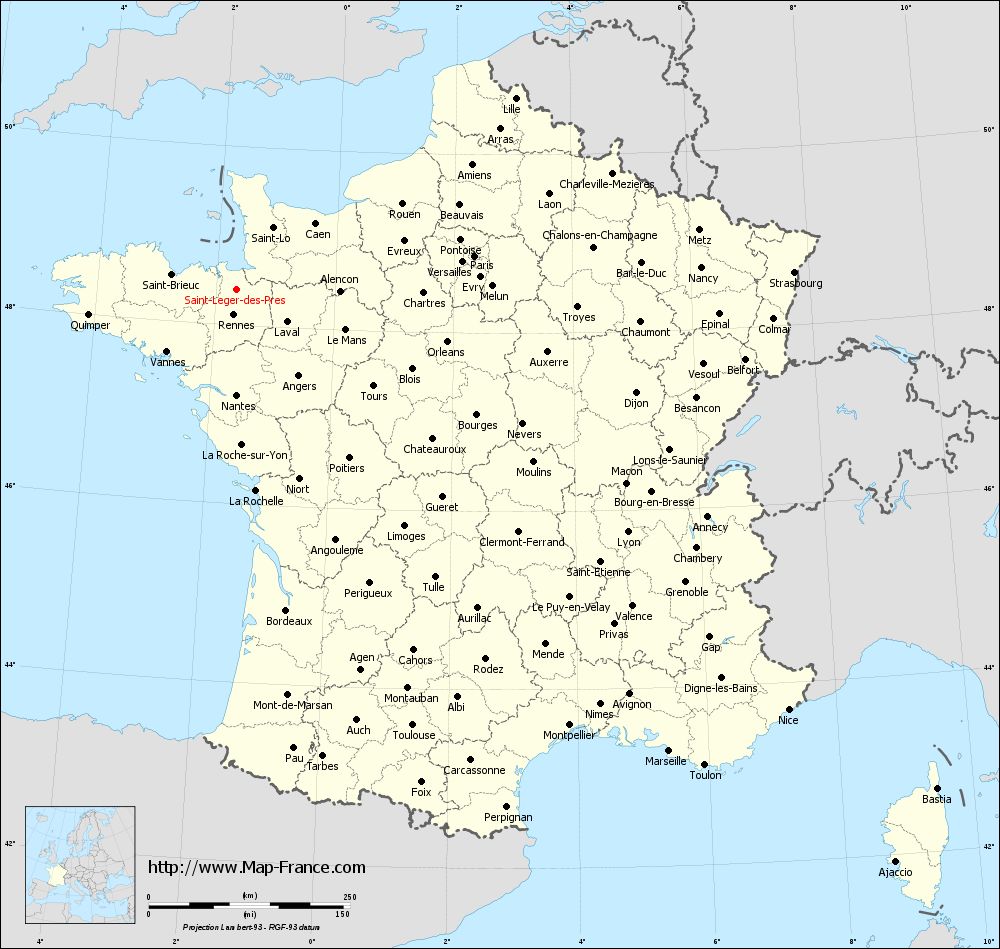
Saint-Léger-des-Prés on the map of french departments
|
This administrative map of Saint-Léger-des-Prés is reusable and modifiable by making a link to this page of the Map-France.com website or by using the given code :
|
Administrative base maps of Saint-Léger-des-Prés
|

See the administrative base map of Saint-Léger-des-Prés in full screen (1000 x 949)
|
Small administrative base map of Saint-Léger-des-Prés
|
This base map administrative of Saint-Léger-des-Prés is reusable and modifiable by making a link to this page of the Map-France.com website or by using the given code :
|
 French Version : http://www.cartesfrance.fr