|
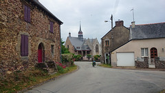
The village of Saint-Léry is a small village located north west of France. The town of Saint-Léry is located in the department of Morbihan of the french region Bretagne. The town of Saint-Léry is located in the township of Mauron part of the district of Vannes. The area code for Saint-Léry is 56225 (also known as code INSEE), and the Saint-Léry zip code is 56430.
Geography and map of Saint-Léry :
The altitude of the city hall of Saint-Léry is approximately 60 meters. The Saint-Léry surface is 1.58 km ². The latitude and longitude of Saint-Léry are 48.09 degrees North and 2.254 degrees West.
Nearby cities and towns of Saint-Léry are :
Mauron (56430) at 2.47 km, Concoret (56430) at 4.68 km, Gaël (35290) at 5.40 km, Saint-Brieuc-de-Mauron (56430) at 7.75 km, Muel (35290) at 8.47 km, Illifaut (22230) at 9.19 km, Tréhorenteuc (56430) at 9.21 km, Loscouët-sur-Meu (22230) at 9.81 km.
(The distances to these nearby towns of Saint-Léry are calculated as the crow flies)
Population and housing of Saint-Léry :
The population of Saint-Léry was 164 in 1999, 173 in 2006 and 176 in 2007. The population density of Saint-Léry is 111.39 inhabitants per km². The number of housing of Saint-Léry was 92 in 2007. These homes of Saint-Léry consist of 65 main residences, 20 second or occasional homes and 7 vacant homes. |
|
|
Hotel Saint-Léry
|
|
|
Book now ! Best Price Guaranteed, no booking fees, pay at the hotel with our partner Booking.com, leader in online hotel reservation.
Find all hotels of Saint-Léry : Hotel Saint-Léry
| |
|
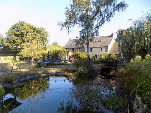
Bed and Breakfast : Ianrhu
Set in Gaël, Ianrhu features accommodation with a seasonal outdoor pool. Free WiFi is available. A continental breakfast is available every morning at the property. The bed an...
Rate : from 55.00 €
to 77.00 €
Address : La Biausse 35290 Gaël
Distance Bed and Breakfast - Saint-Léry : 2.56 km
|
|
|
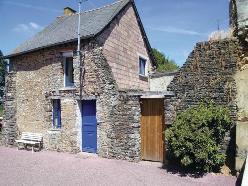
Guest accommodation : Holiday home Lieudit La Touche Es Bou.
  
Located in Mauron in the Brittany region, Holiday home Lieudit La Touche Es Bou. Is a 3-star property featuring free WiFi. Guests staying at this holiday home have access to a f...
Contact : 56430 Mauron
Distance Guest accommodation - Saint-Léry : 3.18 km
|
|
|
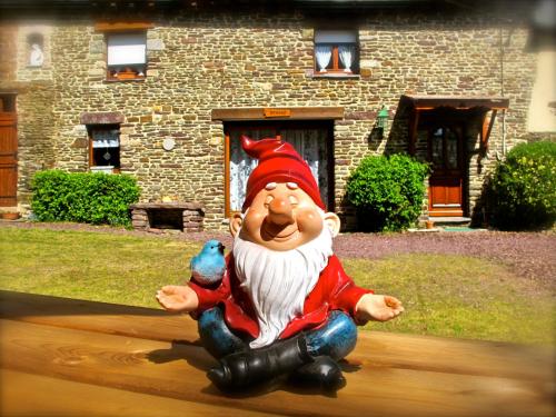
Bed and Breakfast : Kerarz - Chambre d'hôtes
Kerarz is located in Mauron, 47 km from Rennes and 46 km from Dinan. Free WiFi is featured and free private parking is available on site. Guests have access to shared bathroom ...
Prices : from 80.00 €
to 100.00 €
Contact : 28 Le Bouée 56430 Mauron
Distance Bed and Breakfast - Saint-Léry : 3.89 km
|
|
|
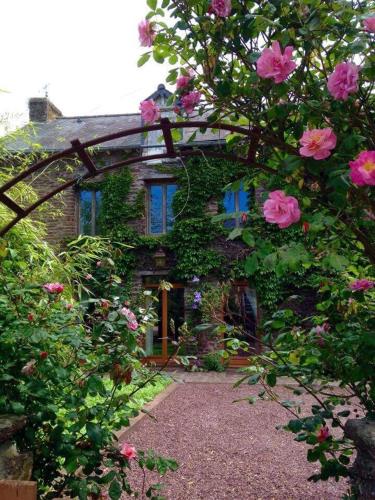
Guest accommodation : Gite du charme en broceliande

Situated in Mauron, 11 km from the Forest of Brocéliande, this holiday home features a garden. Free WiFi is available at the property and free private parking is possible on sit...
Contact : La saudraie 26 56430 Mauron
Distance Guest accommodation - Saint-Léry : 4.74 km
|
|
|
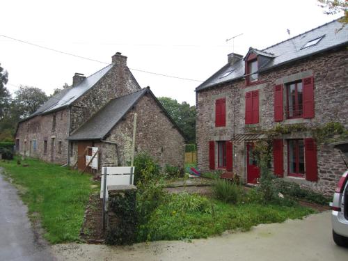
Bed and Breakfast : Ar Litorienn
In the heart of the Brocéliande Forest, Ar Litorienn offers free Wi-Fi throughout, free private parking, and a continental breakfast. It is 10 km from the centre of Paimpont. S...
Price : from 55.00 €
to 85.00 €
Address : Folle Pensée 35380 Paimpont
Distance Bed and Breakfast - Saint-Léry : 5.75 km
|
|
|
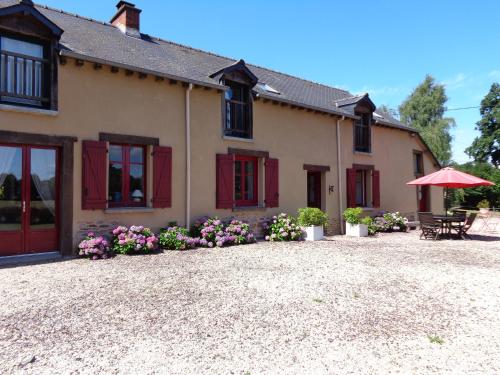
Bed and Breakfast : Chambres d'Hôtes Domaine du Bois-Basset
Located in Saint-Onen-la-Chapelle, Domaine du Bois-Basset offers an above-ground swimming pool, a terrace and a trampoline. Brocéliande Forest is only a 20-minute drive away and...
Contact : Le Bois-Basset 35290 Saint-Onen-la-Chapelle
Distance Bed and Breakfast - Saint-Léry : 8.73 km
|
|
|
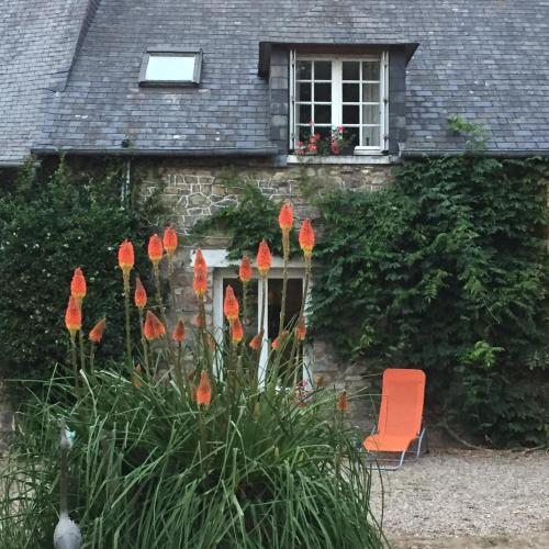
Guest accommodation : L'Hôtié de Brocéliande
L'hotié de Brocéliande offers accommodation in Paimpont, 4.5 km from Merlin's Tomb and the Fountain of Youth. Free WiFi is provided and free private parking is available on site...
Contact : Rue Telhouet, Intersection la chesnaie 35380 Paimpont
Distance Guest accommodation - Saint-Léry : 8.81 km
|
|
|
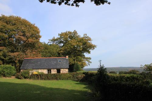
Guest accommodation : Gîte de la Doucette
Gîte de la Doucette is a holiday home in Paimpont, in the Brocéliande Forest and 5 km from Château de Trécesson. It is built in a traditional style and set within a private gard...
Contact : Doucette Beauvais 35380 Paimpont
Distance Guest accommodation - Saint-Léry : 9.25 km
|
|
|
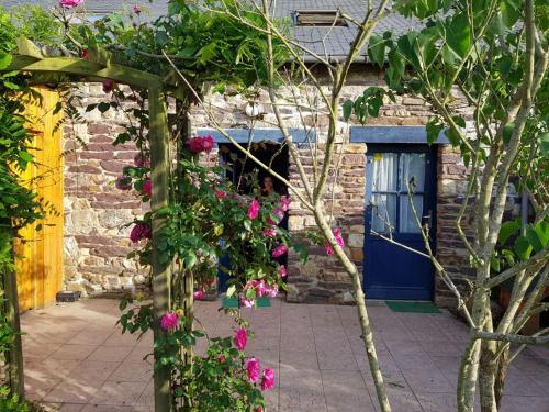
Bed and Breakfast : Chambres d'hôtes La Maison du Graal
Situated in Paimpont, in the Brocéliande Forest, this property features a big garden opening onto the lake, a living room with books and free Wi-Fi. The breakfast is offered eve...
Prices : from 69.00 €
Address : 21 bis rue du Général de Gaulle 35380 Paimpont
Distance Bed and Breakfast - Saint-Léry : 9.89 km
|
|
|
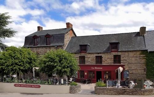
Hotel : Logis Hotel, restaurant et spa Le Relais De Broceliande
  
This Logis hotel is located in the Brittany village of Paimpont, next to the lake. The spa features a sauna, a hammam and an outdoor hot tub, and beauty treatments are available...
Rate : from 89.00 €
to 119.00 €
Contact : 5, Rue Des Forges 35380 Paimpont
Distance Hotel - Saint-Léry : 9.96 km
|
|
Find another hotel near Saint-Léry : Saint-Léry hotels list
|
Map of Saint-Léry
|
|
Map of Saint-Léry :
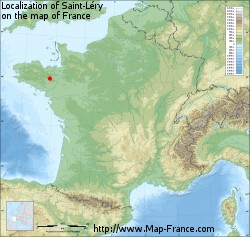
At right you can find the localization of Saint-Léry on the map of France. Below, this is the satellite map of Saint-Léry. A road map, and maps templates of Saint-Léry are available here : "road map of Saint-Léry". This map show Saint-Léry seen by the satellite of Google Map. To see the streets of Saint-Léry or move on another zone, use the buttons "zoom" and "map" on top of this dynamic map.
Search on the map of Saint-Léry :
To search hotels, housings, tourist information office, administrations or other services, use the Google search integrated to the map on the following page : "map Saint-Léry".
Hotels of Saint-Léry are listed on the map with the following icons: 
The map of Saint-Léry is centred in the following coordinates :
|
|
|
|
|
Print the map of Saint-Léry

Print the map of Saint-Léry : map of Saint-Léry
|
Photos Saint-Léry
|
See all photos of Saint-Léry :
Other photos of Saint-Léry and nearby towns can be found here: photos Saint-Léry
|
|
Saint-Léry weather forecast
Find next hours and 7 days weather forecast for Saint-Léry here : weather Saint-Léry (with english metrics)
This is the last weather forecast for Saint-Léry collected by the nearest observation station of Mauron.
Week Forecast:
The latest weather data for Saint-Léry were collected Monday, 14 April 2025 at 19:06 from the nearest observation station of Mauron.
| Monday, April 14th |
15°C 5°C
97%
97%
|
Drizzle
Temperature Max: 15°C Temperature Min: 5°C
Precipitation Probability: 97% (Rain)
Percentage of sky occluded by clouds: 97%
Wind speed: 14 km/h North
Humidity: 73%° UV Index: 3
Sunrise: 07:21 Sunset: 20:58 |
|
| | Tuesday, April 15th |
12°C 6°C
83%
89%
|
Rain
Temperature Max: 12°C Temperature Min: 6°C
Precipitation Probability: 83% (Rain)
Percentage of sky occluded by clouds: 89%
Wind speed: 21 km/h East
Humidity: 76%° UV Index: 3
Sunrise: 07:19 Sunset: 20:59 |
|
| | Wednesday, April 16th |
14°C 3°C
48%
50%
|
Rain
Temperature Max: 14°C Temperature Min: 3°C
Precipitation Probability: 48% (Rain)
Percentage of sky occluded by clouds: 50%
Wind speed: 13 km/h North
Humidity: 64%° UV Index: 3
Sunrise: 07:17 Sunset: 21:01 |
|
| | Thursday, April 17th |
16°C 4°C
43%
64%
|
Drizzle
Temperature Max: 16°C Temperature Min: 4°C
Precipitation Probability: 43% (Rain)
Percentage of sky occluded by clouds: 64%
Wind speed: 13 km/h North
Humidity: 65%° UV Index: 4
Sunrise: 07:15 Sunset: 21:02 |
|
|
Attribution: 
|
|
Other maps, hotels and towns in france
Find another town, zip code, department, region, ...
Quick links Saint-Léry :
Make a link to this page of Saint-Léry with the following code :
|
|
|

 French Version : http://www.cartesfrance.fr/carte-france-ville/56225_Saint-Lery.html


