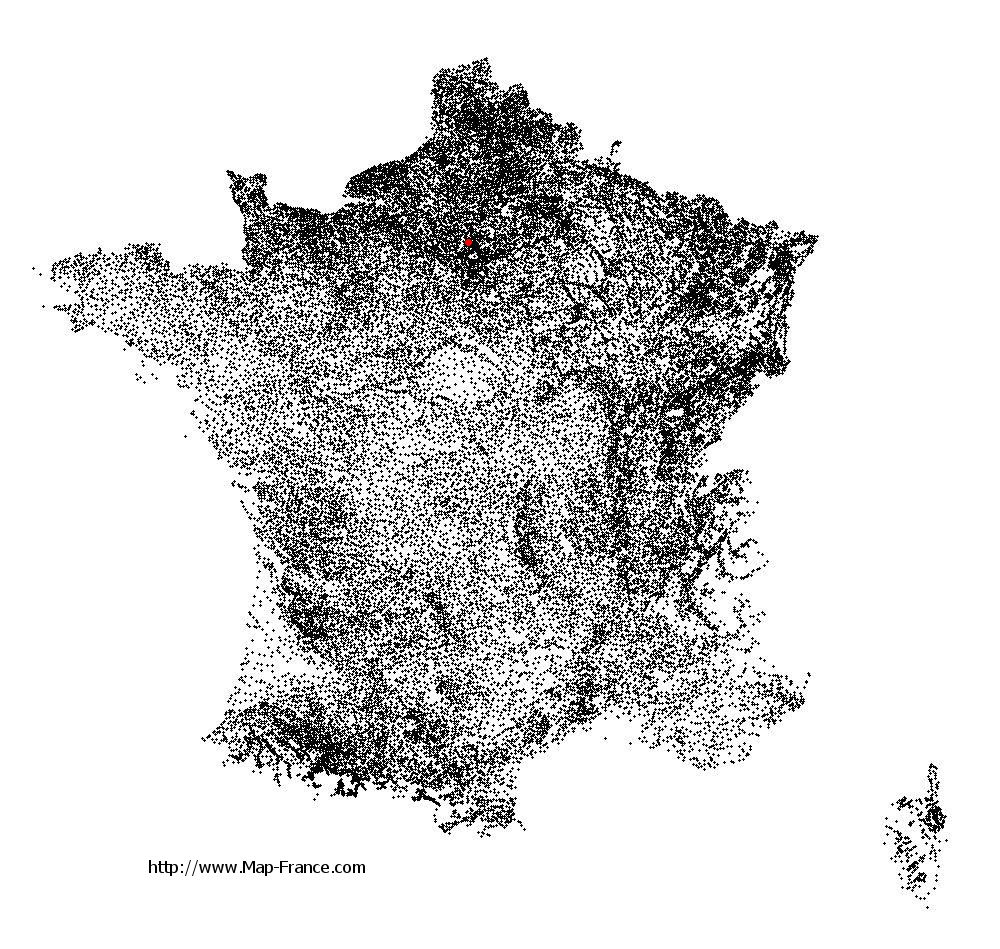
Saint-Leu-la-Forêt on the relief France map in Lambert 93 coordinates
|
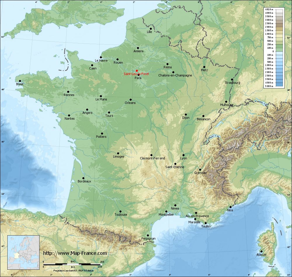
See the map of Saint-Leu-la-Forêt in full screen (1000 x 949)
|
At left, here is the location of Saint-Leu-la-Forêt on the relief France map in Lambert 93 coordinates.
Here are the altitudes of Saint-Leu-la-Forêt :
- Town hall altitude of Saint-Leu-la-Forêt is 76 meters
- Minimum altitude of Saint-Leu-la-Forêt is 57 meters
- Maximum altitude of Saint-Leu-la-Forêt is 191 meters
- Medium altitude of Saint-Leu-la-Forêt is 124 meters
Here are the altitudes of Pontoise, prefecture of Val-d'Oise department:
- Town hall altitude of Pontoise is 62 meters
- Minimum altitude of Pontoise is 22 meters
- Maximum altitude of Pontoise is 87 meters
- Medium altitude of Pontoise is 55 meters
Here are the altitudes of the french biggest cities:
Paris : 33 meters
Marseille : 20 meters
Lyon : 237 meters
Toulouse : 146 meters
Nice : 10 meters
Nantes : 20 meters
Strasbourg : 144 meters
Montpellier : 35 meters
Bordeaux : 16 meters
Lille : 20 meters
Rennes : 35 meters
Reims : 83 meters
Click here for the terrain map of Saint-Leu-la-Forêt in full screen:
Relief map of Saint-Leu-la-Forêt
|
This relief map of Saint-Leu-la-Forêt is reusable and modifiable by making a link to this page of the Map-France.com website or by using the given code :
|
Terrain base map of Saint-Leu-la-Forêt
|

See the terrain base map of Saint-Leu-la-Forêt in full screen (1000 x 949)
|
Small relief base map of Saint-Leu-la-Forêt

|
This base map of Saint-Leu-la-Forêt is reusable and modifiable by making a link to this page of the Map-France.com website or by using the given code :
|
Map of Saint-Leu-la-Forêt with regions and prefectures
|
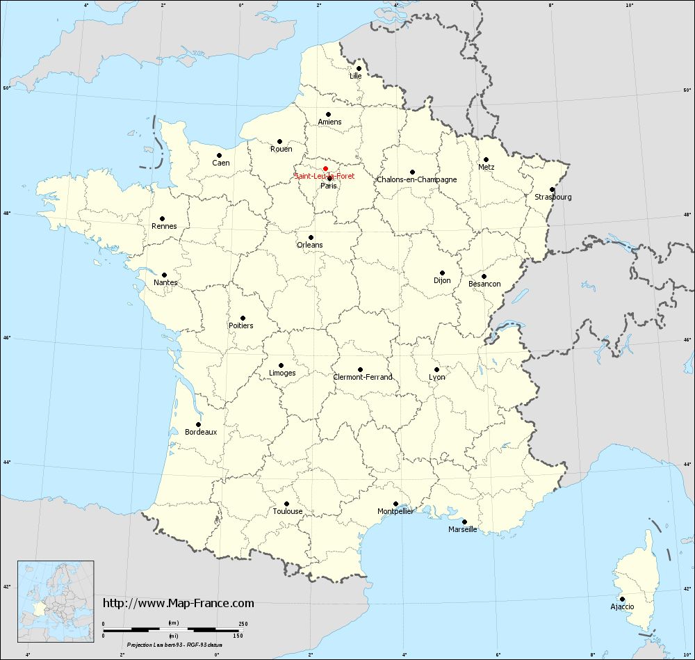
View the map of Saint-Leu-la-Forêt in full screen (1000 x 949)
|
You will find the location of Saint-Leu-la-Forêt on the map of France of regions in Lambert 93 coordinates. The city of Saint-Leu-la-Forêt is located in the department of Val-d'Oise of the french region Île-de-France.
Geographical sexagesimal coordinates / GPS (WGS84):
Latitude: 49° 01' 01'' North
Longitude: 02° 14' 47'' East
Geographical decimal coordinates :
Latitude: 49.014 degrees (49.014° North)
Longitude: 2.244 degrees (2.244° East)
Lambert 93 coordinates :
X: 6 449 hectometers
Y: 68 799 hectometers
Lambert 2 coordinates :
X: 5 934 hectometers
Y: 24 466 hectometers
Below, the geographical coordinates of Pontoise, prefecture of the Val-d'Oise department:
Geographical sexagesimal coordinates / GPS (WGS84):
Latitude: 49° 03' 03'' North
Longitude: 02° 06' 03'' East
Geographical decimal coordinates :
Latitude: 49.052 degrees (49.052° North)
Longitude: 2.094 degrees (2.094° East)
Lambert 93 coordinates :
X: 6 343 hectometers
Y: 68 838 hectometers
Lambert 2 coordinates :
X: 5 828 hectometers
Y: 24 503 hectometers
|
This map of Saint-Leu-la-Forêt is reusable and modifiable by making a link to this page of the Map-France.com website or by using the given code :
|
Map of Saint-Leu-la-Forêt with departments and prefectures
|
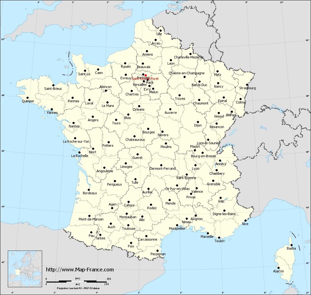
Voir la carte of Saint-Leu-la-Forêt en grand format (1000 x 949)
|
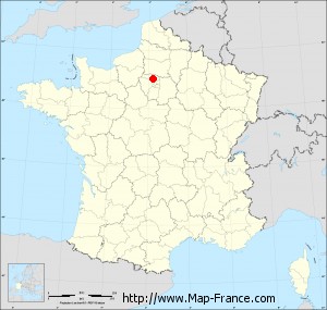
Here is the localization of Saint-Leu-la-Forêt on the France map of departments in Lambert 93 coordinates. The city of Saint-Leu-la-Forêt is shown on the map by a red point.
The city of Saint-Leu-la-Forêt is located in the department of Val-d'Oise of the french region Île-de-France.
The latitude of Saint-Leu-la-Forêt is 49.014 degrees North.
The longitude of Saint-Leu-la-Forêt is 2.244 degrees East.
Here the distance between Saint-Leu-la-Forêt and the biggest cities of France:
Distances are calculated as the crow flies (orthodromic distance)
Distance between Saint-Leu-la-Forêt and Paris : 18.62 kilometers
Distance between Saint-Leu-la-Forêt and Marseille : 679.88 kilometers
Distance between Saint-Leu-la-Forêt and Lyon : 410.73 kilometers
Distance between Saint-Leu-la-Forêt and Toulouse : 604.65 kilometers
Distance between Saint-Leu-la-Forêt and Nice : 703.86 kilometers
Distance between Saint-Leu-la-Forêt and Nantes : 345.1 kilometers
Distance between Saint-Leu-la-Forêt and Strasbourg : 406.12 kilometers
Distance between Saint-Leu-la-Forêt and Montpellier : 613.45 kilometers
Distance between Saint-Leu-la-Forêt and Bordeaux : 510.35 kilometers
Distance between Saint-Leu-la-Forêt and Lille : 188.24 kilometers
Distance between Saint-Leu-la-Forêt and Rennes : 305.59 kilometers
Distance between Saint-Leu-la-Forêt and Reims : 132.72 kilometers
Clic here to see the map of Saint-Leu-la-Forêt in full screen:
Saint-Leu-la-Forêt on the map of french departments
|
This administrative map of Saint-Leu-la-Forêt is reusable and modifiable by making a link to this page of the Map-France.com website or by using the given code :
|
Administrative base maps of Saint-Leu-la-Forêt
|

See the administrative base map of Saint-Leu-la-Forêt in full screen (1000 x 949)
|
Small administrative base map of Saint-Leu-la-Forêt
|
This base map administrative of Saint-Leu-la-Forêt is reusable and modifiable by making a link to this page of the Map-France.com website or by using the given code :
|
 French Version : http://www.cartesfrance.fr