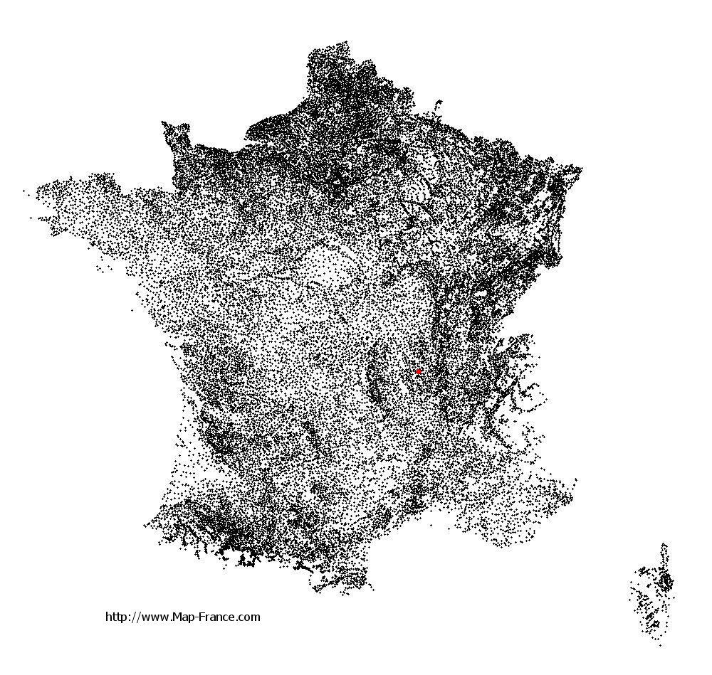
Saint-Marcel-de-Félines on the relief France map in Lambert 93 coordinates
|

See the map of Saint-Marcel-de-Félines in full screen (1000 x 949)
|
At left, here is the location of Saint-Marcel-de-Félines on the relief France map in Lambert 93 coordinates.
Here are the altitudes of Saint-Marcel-de-Félines :
- Town hall altitude of Saint-Marcel-de-Félines is 480 meters
- Minimum altitude of Saint-Marcel-de-Félines is 311 meters
- Maximum altitude of Saint-Marcel-de-Félines is 524 meters
- Medium altitude of Saint-Marcel-de-Félines is 418 meters
Here are the altitudes of Saint-Étienne, prefecture of Loire department:
- Town hall altitude of Saint-Étienne is 515 meters
- Minimum altitude of Saint-Étienne is 422 meters
- Maximum altitude of Saint-Étienne is 1 117 meters
- Medium altitude of Saint-Étienne is 770 meters
Here are the altitudes of the french biggest cities:
Paris : 33 meters
Marseille : 20 meters
Lyon : 237 meters
Toulouse : 146 meters
Nice : 10 meters
Nantes : 20 meters
Strasbourg : 144 meters
Montpellier : 35 meters
Bordeaux : 16 meters
Lille : 20 meters
Rennes : 35 meters
Reims : 83 meters
Click here for the terrain map of Saint-Marcel-de-Félines in full screen:
Relief map of Saint-Marcel-de-Félines
|
This relief map of Saint-Marcel-de-Félines is reusable and modifiable by making a link to this page of the Map-France.com website or by using the given code :
|
Terrain base map of Saint-Marcel-de-Félines
|

See the terrain base map of Saint-Marcel-de-Félines in full screen (1000 x 949)
|
Small relief base map of Saint-Marcel-de-Félines

|
This base map of Saint-Marcel-de-Félines is reusable and modifiable by making a link to this page of the Map-France.com website or by using the given code :
|
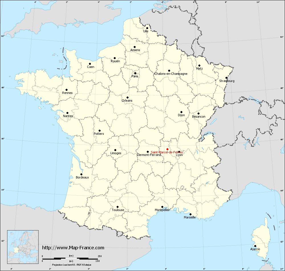
Map of Saint-Marcel-de-Félines with regions and prefectures
|
View the map of Saint-Marcel-de-Félines in full screen (1000 x 949)
|
You will find the location of Saint-Marcel-de-Félines on the map of France of regions in Lambert 93 coordinates. The town of Saint-Marcel-de-Félines is located in the department of Loire of the french region Rhône-Alpes.
Geographical sexagesimal coordinates / GPS (WGS84):
Latitude: 45° 52' 06'' North
Longitude: 04° 11' 29'' East
Geographical decimal coordinates :
Latitude: 45.868 degrees (45.868° North)
Longitude: 4.193 degrees (4.193° East)
Lambert 93 coordinates :
X: 7 924 hectometers
Y: 65 305 hectometers
Lambert 2 coordinates :
X: 7 440 hectometers
Y: 20 981 hectometers
Below, the geographical coordinates of Saint-Étienne, prefecture of the Loire department:
Geographical sexagesimal coordinates / GPS (WGS84):
Latitude: 45° 26' 02'' North
Longitude: 04° 23' 23'' East
Geographical decimal coordinates :
Latitude: 45.441 degrees (45.441° North)
Longitude: 4.39 degrees (4.39° East)
Lambert 93 coordinates :
X: 8 086 hectometers
Y: 64 825 hectometers
Lambert 2 coordinates :
X: 7 607 hectometers
Y: 20 502 hectometers
|
This map of Saint-Marcel-de-Félines is reusable and modifiable by making a link to this page of the Map-France.com website or by using the given code :
|
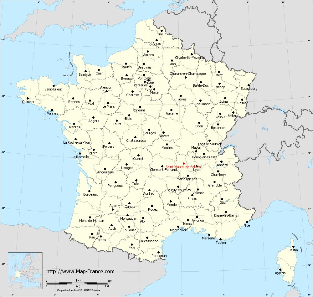
Map of Saint-Marcel-de-Félines with departments and prefectures
|
Voir la carte of Saint-Marcel-de-Félines en grand format (1000 x 949)
|
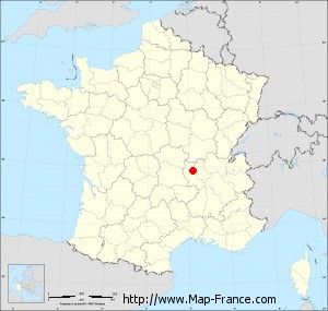
Here is the localization of Saint-Marcel-de-Félines on the France map of departments in Lambert 93 coordinates. The city of Saint-Marcel-de-Félines is shown on the map by a red point.
The town of Saint-Marcel-de-Félines is located in the department of Loire of the french region Rhône-Alpes.
The latitude of Saint-Marcel-de-Félines is 45.868 degrees North.
The longitude of Saint-Marcel-de-Félines is 4.193 degrees East.
Here the distance between Saint-Marcel-de-Félines and the biggest cities of France:
Distances are calculated as the crow flies (orthodromic distance)
Distance between Saint-Marcel-de-Félines and Paris : 360.36 kilometers
Distance between Saint-Marcel-de-Félines and Marseille : 301.14 kilometers
Distance between Saint-Marcel-de-Félines and Lyon : 51.17 kilometers
Distance between Saint-Marcel-de-Félines and Toulouse : 332.14 kilometers
Distance between Saint-Marcel-de-Félines and Nice : 340.97 kilometers
Distance between Saint-Marcel-de-Félines and Nantes : 463.95 kilometers
Distance between Saint-Marcel-de-Félines and Strasbourg : 404.11 kilometers
Distance between Saint-Marcel-de-Félines and Montpellier : 252.26 kilometers
Distance between Saint-Marcel-de-Félines and Bordeaux : 389.18 kilometers
Distance between Saint-Marcel-de-Félines and Lille : 535.62 kilometers
Distance between Saint-Marcel-de-Félines and Rennes : 509.75 kilometers
Distance between Saint-Marcel-de-Félines and Reims : 376.84 kilometers
Clic here to see the map of Saint-Marcel-de-Félines in full screen:
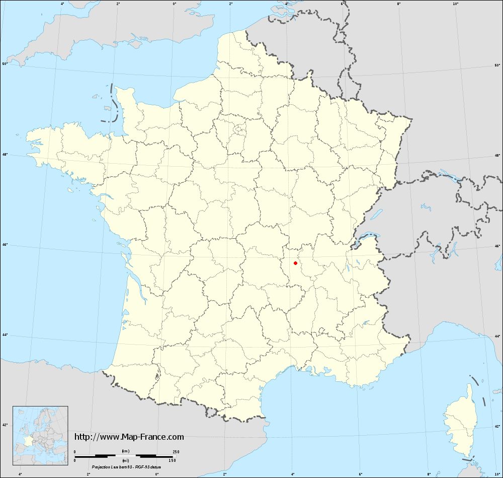
Saint-Marcel-de-Félines on the map of french departments
|
This administrative map of Saint-Marcel-de-Félines is reusable and modifiable by making a link to this page of the Map-France.com website or by using the given code :
|
Administrative base maps of Saint-Marcel-de-Félines
|
See the administrative base map of Saint-Marcel-de-Félines in full screen (1000 x 949)
|
Small administrative base map of Saint-Marcel-de-Félines
|
This base map administrative of Saint-Marcel-de-Félines is reusable and modifiable by making a link to this page of the Map-France.com website or by using the given code :
|
 French Version : http://www.cartesfrance.fr