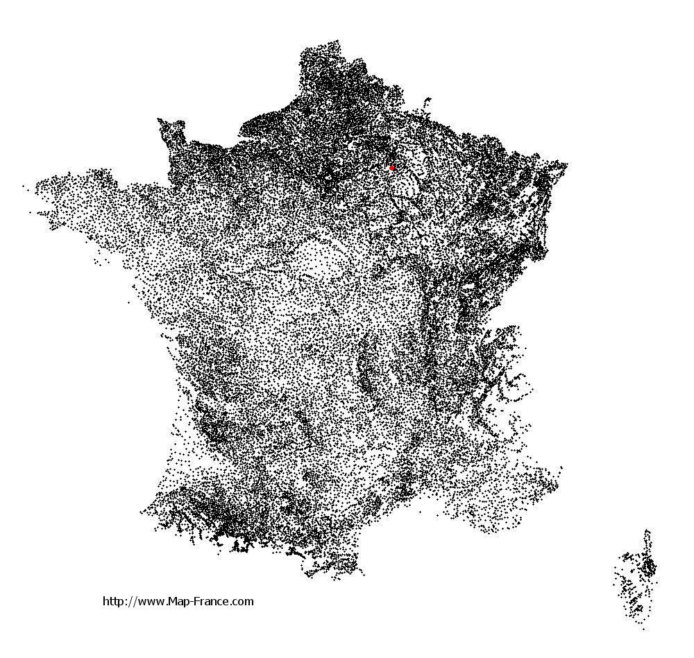
Saint-Martin-d'Ablois on the relief France map in Lambert 93 coordinates
|
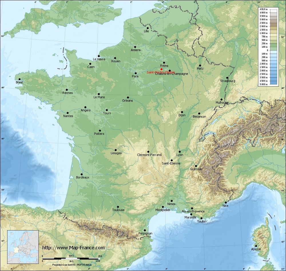
See the map of Saint-Martin-d'Ablois in full screen (1000 x 949)
|
At left, here is the location of Saint-Martin-d'Ablois on the relief France map in Lambert 93 coordinates.
Here are the altitudes of Saint-Martin-d'Ablois :
- Town hall altitude of Saint-Martin-d'Ablois is 160 meters
- Minimum altitude of Saint-Martin-d'Ablois is 110 meters
- Maximum altitude of Saint-Martin-d'Ablois is 241 meters
- Medium altitude of Saint-Martin-d'Ablois is 176 meters
Here are the altitudes of Châlons-en-Champagne, prefecture of Marne department:
- Town hall altitude of Châlons-en-Champagne is 85 meters
- Minimum altitude of Châlons-en-Champagne is 79 meters
- Maximum altitude of Châlons-en-Champagne is 153 meters
- Medium altitude of Châlons-en-Champagne is 116 meters
Here are the altitudes of the french biggest cities:
Paris : 33 meters
Marseille : 20 meters
Lyon : 237 meters
Toulouse : 146 meters
Nice : 10 meters
Nantes : 20 meters
Strasbourg : 144 meters
Montpellier : 35 meters
Bordeaux : 16 meters
Lille : 20 meters
Rennes : 35 meters
Reims : 83 meters
Click here for the terrain map of Saint-Martin-d'Ablois in full screen:
Relief map of Saint-Martin-d%27Ablois
|
This relief map of Saint-Martin-d'Ablois is reusable and modifiable by making a link to this page of the Map-France.com website or by using the given code :
|
Terrain base map of Saint-Martin-d'Ablois
|
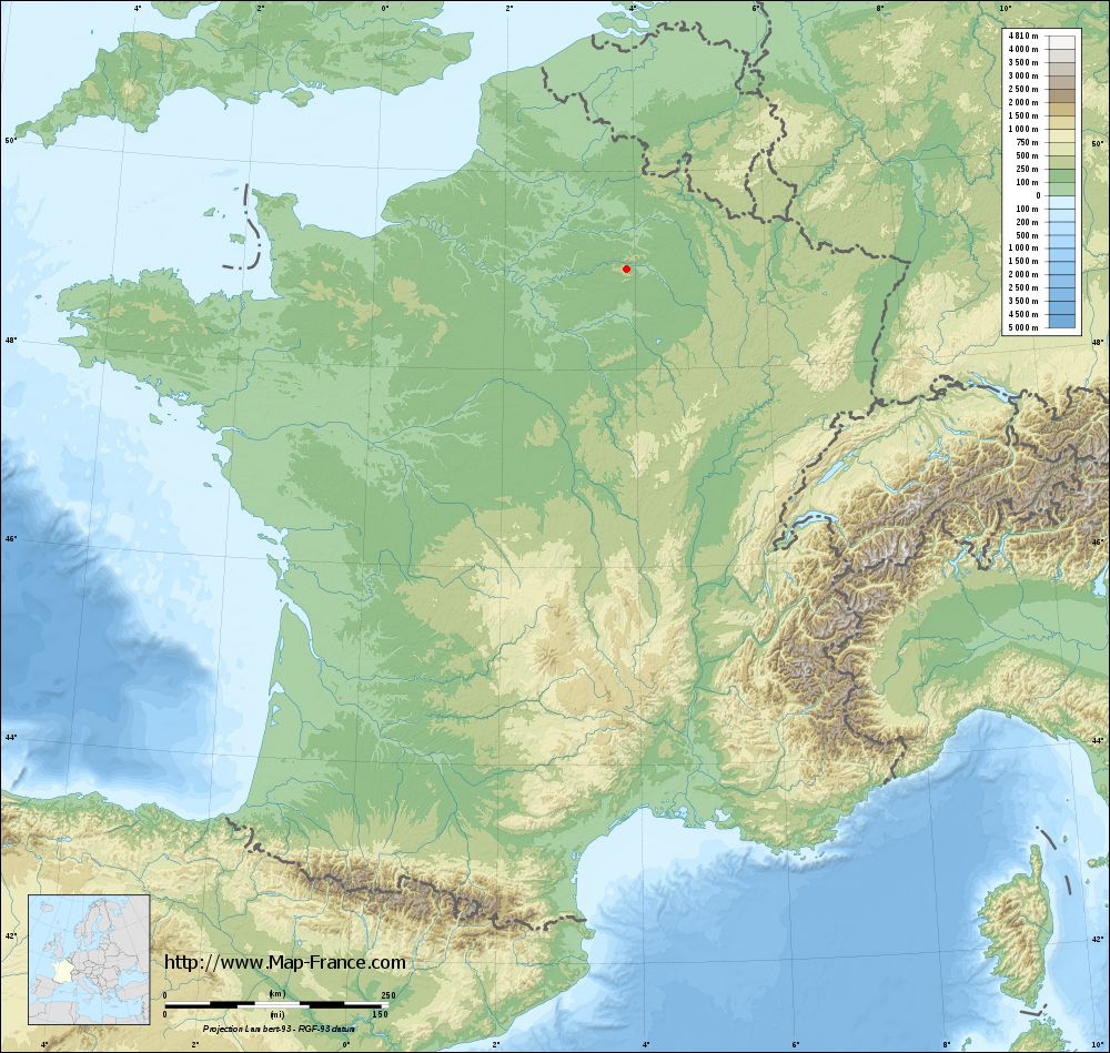
See the terrain base map of Saint-Martin-d'Ablois in full screen (1000 x 949)
|
Small relief base map of Saint-Martin-d'Ablois

|
This base map of Saint-Martin-d'Ablois is reusable and modifiable by making a link to this page of the Map-France.com website or by using the given code :
|
Map of Saint-Martin-d'Ablois with regions and prefectures
|
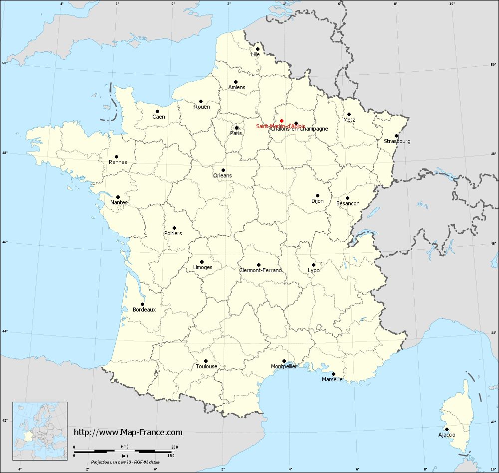
View the map of Saint-Martin-d'Ablois in full screen (1000 x 949)
|
You will find the location of Saint-Martin-d'Ablois on the map of France of regions in Lambert 93 coordinates. The town of Saint-Martin-d'Ablois is located in the department of Marne of the french region Champagne-Ardenne.
Geographical sexagesimal coordinates / GPS (WGS84):
Latitude: 49° 00' 45'' North
Longitude: 03° 52' 04'' East
Geographical decimal coordinates :
Latitude: 49.014 degrees (49.014° North)
Longitude: 3.867 degrees (3.867° East)
Lambert 93 coordinates :
X: 7 635 hectometers
Y: 68 795 hectometers
Lambert 2 coordinates :
X: 7 121 hectometers
Y: 24 471 hectometers
Below, the geographical coordinates of Châlons-en-Champagne, prefecture of the Marne department:
Geographical sexagesimal coordinates / GPS (WGS84):
Latitude: 48° 57' 24'' North
Longitude: 04° 21' 52'' East
Geographical decimal coordinates :
Latitude: 48.957 degrees (48.957° North)
Longitude: 4.362 degrees (4.362° East)
Lambert 93 coordinates :
X: 7 999 hectometers
Y: 68 738 hectometers
Lambert 2 coordinates :
X: 7 486 hectometers
Y: 24 417 hectometers
|
This map of Saint-Martin-d'Ablois is reusable and modifiable by making a link to this page of the Map-France.com website or by using the given code :
|
Map of Saint-Martin-d'Ablois with departments and prefectures
|
Voir la carte of Saint-Martin-d'Ablois en grand format (1000 x 949)
|
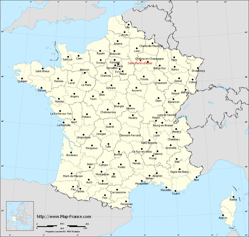
Here is the localization of Saint-Martin-d'Ablois on the France map of departments in Lambert 93 coordinates. The city of Saint-Martin-d'Ablois is shown on the map by a red point.
The town of Saint-Martin-d'Ablois is located in the department of Marne of the french region Champagne-Ardenne.
The latitude of Saint-Martin-d'Ablois is 49.014 degrees North.
The longitude of Saint-Martin-d'Ablois is 3.867 degrees East.
Here the distance between Saint-Martin-d'Ablois and the biggest cities of France:
Distances are calculated as the crow flies (orthodromic distance)
Distance between Saint-Martin-d'Ablois and Paris : 112.3 kilometers
Distance between Saint-Martin-d'Ablois and Marseille : 645.92 kilometers
Distance between Saint-Martin-d'Ablois and Lyon : 368.77 kilometers
Distance between Saint-Martin-d'Ablois and Toulouse : 629.35 kilometers
Distance between Saint-Martin-d'Ablois and Nice : 644.44 kilometers
Distance between Saint-Martin-d'Ablois and Nantes : 448.67 kilometers
Distance between Saint-Martin-d'Ablois and Strasbourg : 288.54 kilometers
Distance between Saint-Martin-d'Ablois and Montpellier : 600.5 kilometers
Distance between Saint-Martin-d'Ablois and Bordeaux : 572.76 kilometers
Distance between Saint-Martin-d'Ablois and Lille : 188.8 kilometers
Distance between Saint-Martin-d'Ablois and Rennes : 420.03 kilometers
Distance between Saint-Martin-d'Ablois and Reims : 29.67 kilometers
Clic here to see the map of Saint-Martin-d'Ablois in full screen:
Saint-Martin-d%27Ablois on the map of french departments
|
This administrative map of Saint-Martin-d'Ablois is reusable and modifiable by making a link to this page of the Map-France.com website or by using the given code :
|
Administrative base maps of Saint-Martin-d'Ablois
|

See the administrative base map of Saint-Martin-d'Ablois in full screen (1000 x 949)
|
Small administrative base map of Saint-Martin-d'Ablois
|
This base map administrative of Saint-Martin-d'Ablois is reusable and modifiable by making a link to this page of the Map-France.com website or by using the given code :
|
 French Version : http://www.cartesfrance.fr