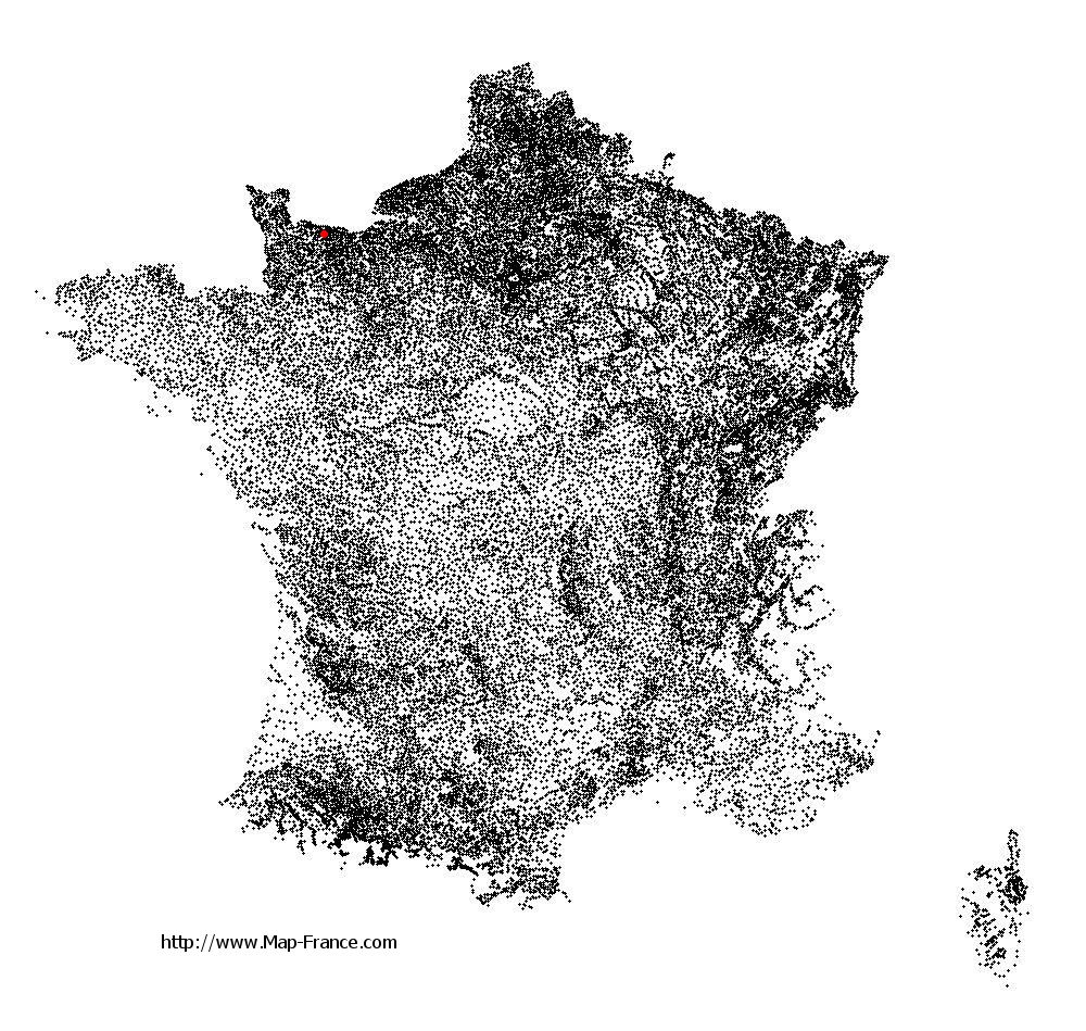
Saint-Martin-des-Entrées on the relief France map in Lambert 93 coordinates
|

See the map of Saint-Martin-des-Entrées in full screen (1000 x 949)
|
At left, here is the location of Saint-Martin-des-Entrées on the relief France map in Lambert 93 coordinates.
Here are the altitudes of Saint-Martin-des-Entrées :
- Town hall altitude of Saint-Martin-des-Entrées is 60 meters
- Minimum altitude of Saint-Martin-des-Entrées is 46 meters
- Maximum altitude of Saint-Martin-des-Entrées is 82 meters
- Medium altitude of Saint-Martin-des-Entrées is 64 meters
Here are the altitudes of Caen, prefecture of Calvados department:
- Town hall altitude of Caen is 25 meters
- Minimum altitude of Caen is 2 meters
- Maximum altitude of Caen is 73 meters
- Medium altitude of Caen is 38 meters
Here are the altitudes of the french biggest cities:
Paris : 33 meters
Marseille : 20 meters
Lyon : 237 meters
Toulouse : 146 meters
Nice : 10 meters
Nantes : 20 meters
Strasbourg : 144 meters
Montpellier : 35 meters
Bordeaux : 16 meters
Lille : 20 meters
Rennes : 35 meters
Reims : 83 meters
Click here for the terrain map of Saint-Martin-des-Entrées in full screen:
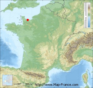
Relief map of Saint-Martin-des-Entrées
|
This relief map of Saint-Martin-des-Entrées is reusable and modifiable by making a link to this page of the Map-France.com website or by using the given code :
|
Terrain base map of Saint-Martin-des-Entrées
|

See the terrain base map of Saint-Martin-des-Entrées in full screen (1000 x 949)
|
Small relief base map of Saint-Martin-des-Entrées
|
This base map of Saint-Martin-des-Entrées is reusable and modifiable by making a link to this page of the Map-France.com website or by using the given code :
|
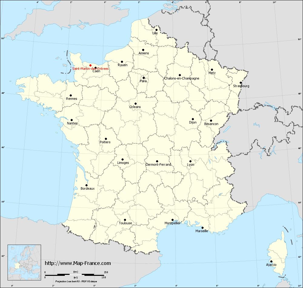
Map of Saint-Martin-des-Entrées with regions and prefectures
|
View the map of Saint-Martin-des-Entrées in full screen (1000 x 949)
|
You will find the location of Saint-Martin-des-Entrées on the map of France of regions in Lambert 93 coordinates. The town of Saint-Martin-des-Entrées is located in the department of Calvados of the french region Basse-Normandie.
Geographical sexagesimal coordinates / GPS (WGS84):
Latitude: 49° 16' 03'' North
Longitude: 00° 40' 21'' West
Geographical decimal coordinates :
Latitude: 49.268 degrees (49.268° North)
Longitude: -0.672 degrees (0.672° West)
Lambert 93 coordinates :
X: 4 328 hectometers
Y: 69 138 hectometers
Lambert 2 coordinates :
X: 3 809 hectometers
Y: 24 786 hectometers
Below, the geographical coordinates of Caen, prefecture of the Calvados department:
Geographical sexagesimal coordinates / GPS (WGS84):
Latitude: 49° 10' 56'' North
Longitude: 00° 22' 14'' West
Geographical decimal coordinates :
Latitude: 49.184 degrees (49.184° North)
Longitude: -0.36 degrees (0.36° West)
Lambert 93 coordinates :
X: 4 543 hectometers
Y: 69 033 hectometers
Lambert 2 coordinates :
X: 4 025 hectometers
Y: 24 683 hectometers
|
This map of Saint-Martin-des-Entrées is reusable and modifiable by making a link to this page of the Map-France.com website or by using the given code :
|
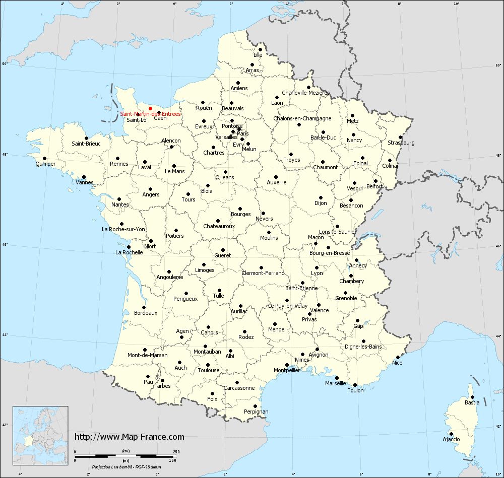
Map of Saint-Martin-des-Entrées with departments and prefectures
|
Voir la carte of Saint-Martin-des-Entrées en grand format (1000 x 949)
|
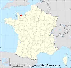
Here is the localization of Saint-Martin-des-Entrées on the France map of departments in Lambert 93 coordinates. The city of Saint-Martin-des-Entrées is shown on the map by a red point.
The town of Saint-Martin-des-Entrées is located in the department of Calvados of the french region Basse-Normandie.
The latitude of Saint-Martin-des-Entrées is 49.268 degrees North.
The longitude of Saint-Martin-des-Entrées is 0.672 degrees West.
Here the distance between Saint-Martin-des-Entrées and the biggest cities of France:
Distances are calculated as the crow flies (orthodromic distance)
Distance between Saint-Martin-des-Entrées and Paris : 224.25 kilometers
Distance between Saint-Martin-des-Entrées and Marseille : 810.16 kilometers
Distance between Saint-Martin-des-Entrées and Lyon : 567.74 kilometers
Distance between Saint-Martin-des-Entrées and Toulouse : 650.25 kilometers
Distance between Saint-Martin-des-Entrées and Nice : 865.23 kilometers
Distance between Saint-Martin-des-Entrées and Nantes : 236.75 kilometers
Distance between Saint-Martin-des-Entrées and Strasbourg : 619.55 kilometers
Distance between Saint-Martin-des-Entrées and Montpellier : 718.31 kilometers
Distance between Saint-Martin-des-Entrées and Bordeaux : 491.64 kilometers
Distance between Saint-Martin-des-Entrées and Lille : 305.64 kilometers
Distance between Saint-Martin-des-Entrées and Rennes : 148.57 kilometers
Distance between Saint-Martin-des-Entrées and Reims : 340.95 kilometers
Clic here to see the map of Saint-Martin-des-Entrées in full screen:
Saint-Martin-des-Entrées on the map of french departments
|
This administrative map of Saint-Martin-des-Entrées is reusable and modifiable by making a link to this page of the Map-France.com website or by using the given code :
|
Administrative base maps of Saint-Martin-des-Entrées
|

See the administrative base map of Saint-Martin-des-Entrées in full screen (1000 x 949)
|
Small administrative base map of Saint-Martin-des-Entrées
|
This base map administrative of Saint-Martin-des-Entrées is reusable and modifiable by making a link to this page of the Map-France.com website or by using the given code :
|
 French Version : http://www.cartesfrance.fr