Map of France

Saint-Nicolas-de-Pierrepont photos


Find a town, a zip code,
a department, a region... in France
I like Map-France.com !


Saint-Nicolas-de-Pierrepont pictures


Here are the photos of the town of Saint-Nicolas-de-Pierrepont and nearby towns. Saint-Nicolas-de-Pierrepont is located in the department of Manche in the region of Basse-Normandie. You will find the satellite map of Saint-Nicolas-de-Pierrepont under these photos.

To see photos of nearby towns of Saint-Nicolas-de-Pierrepont, you can try the following links :
   - Photo of Saint-Sauveur-de-Pierrepont (50250) : town located at 1.27 km
   - Photo of Bolleville (50250) : town located at 2.58 km
   - Photo of Neuville-en-Beaumont (50250) : town located at 2.68 km
   - Photo of Doville (50250) : town located at 3.49 km
   - Photo of Catteville (50390) : town located at 3.58 km
   - Photo of Neufmesnil (50250) : town located at 3.74 km
   - Photo of Baudreville (50250) : town located at 3.96 km
   - Photo of Saint-Symphorien-le-Valois (50250) : town located at 4.04 km
   - Photo of Canville-la-Rocque (50580) : town located at 4.16 km
   - Photo of Taillepied (50390) : town located at 4.26 km
   - Photo of La Haye-du-Puits (50250) : town located at 4.84 km
   - Photo of Montgardon (50250) : town located at 5.00 km

 - photos of the department prefecture of Manche : photos of Saint-Lô
 - pictures of others cities of Manche : Manche


To see Saint-Nicolas-de-Pierrepont from the sky, here is the satellite map of the town of Saint-Nicolas-de-Pierrepont : Saint-Nicolas-de-Pierrepont map.

I like Saint-Nicolas-de-Pierrepont !


Photos of the town of Saint-Nicolas-de-Pierrepont

These photos taken near the town of Saint-Nicolas-de-Pierrepont can be shown in full screen clicking on the thumbnails. Photos are copyrighted by their owners.

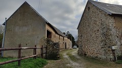
Le hameau de Longuerac - The hamlet of Longuerac - Photo of Saint-Nicolas-de-Pierrepont
Le hameau de Longuerac - The hamlet of Longuerac

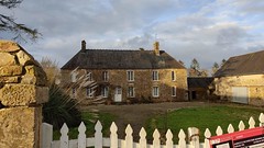
20210102_15h5718Ex_La Comterie - Photo of Saint-Nicolas-de-Pierrepont
20210102_15h5718Ex_La Comterie

20210102_15h5128Ex_La Comterie - Photo of Saint-Nicolas-de-Pierrepont
20210102_15h5128Ex_La Comterie

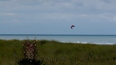
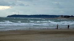
20091004-11h5187_Lindbergh Plage - Photo of Saint-Nicolas-de-Pierrepont
20091004-11h5187_Lindbergh Plage

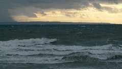
20091004-11h5288_Lindbergh Plage - Photo of Saint-Nicolas-de-Pierrepont
20091004-11h5288_Lindbergh Plage

20091004-11h5290_Lindbergh Plage - Photo of Saint-Nicolas-de-Pierrepont
20091004-11h5290_Lindbergh Plage

20091003-18h2592_Lindbergh Plage - Photo of Saint-Nicolas-de-Pierrepont
20091003-18h2592_Lindbergh Plage

20091003-18h2693_Lindbergh Plage - Photo of Saint-Nicolas-de-Pierrepont
20091003-18h2693_Lindbergh Plage

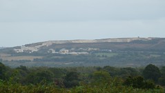
20091003-15h2641_Montée au Mont de Besneville - Photo of Saint-Nicolas-de-Pierrepont
20091003-15h2641_Montée au Mont de Besneville

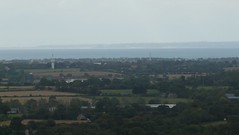
20091003-15h3546_Montée au Mont de Besneville - Photo of Saint-Nicolas-de-Pierrepont
20091003-15h3546_Montée au Mont de Besneville

20091003-15h5151_Les trois moulins - Photo of Saint-Nicolas-de-Pierrepont
20091003-15h5151_Les trois moulins

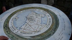
20091003-12h3674_Chemins de Besneville - Photo of Saint-Nicolas-de-Pierrepont
20091003-12h3674_Chemins de Besneville

20091003-13h0393_Au bourg de Besneville - Photo of Saint-Nicolas-de-Pierrepont
20091003-13h0393_Au bourg de Besneville

20091003-10h2730_Dans le havre de Portbail - Photo of Saint-Nicolas-de-Pierrepont
20091003-10h2730_Dans le havre de Portbail


Saint-Nicolas-de-Pierrepont from the sky


Old photos of the town of Saint-Nicolas-de-Pierrepont

These photos taken near the town of Saint-Nicolas-de-Pierrepont can be shown in full screen clicking on the thumbnails. Photos are copyrighted by their owners.


Other maps, hotels and towns in france


Find another town, zip code, department, region, ...


Quick links Saint-Nicolas-de-Pierrepont :


Back to the menus Map of France :


Make a link to this page of Saint-Nicolas-de-Pierrepont with the following code :


Map of France | Regions | Departments | Cities | Partners | Terms | Contact