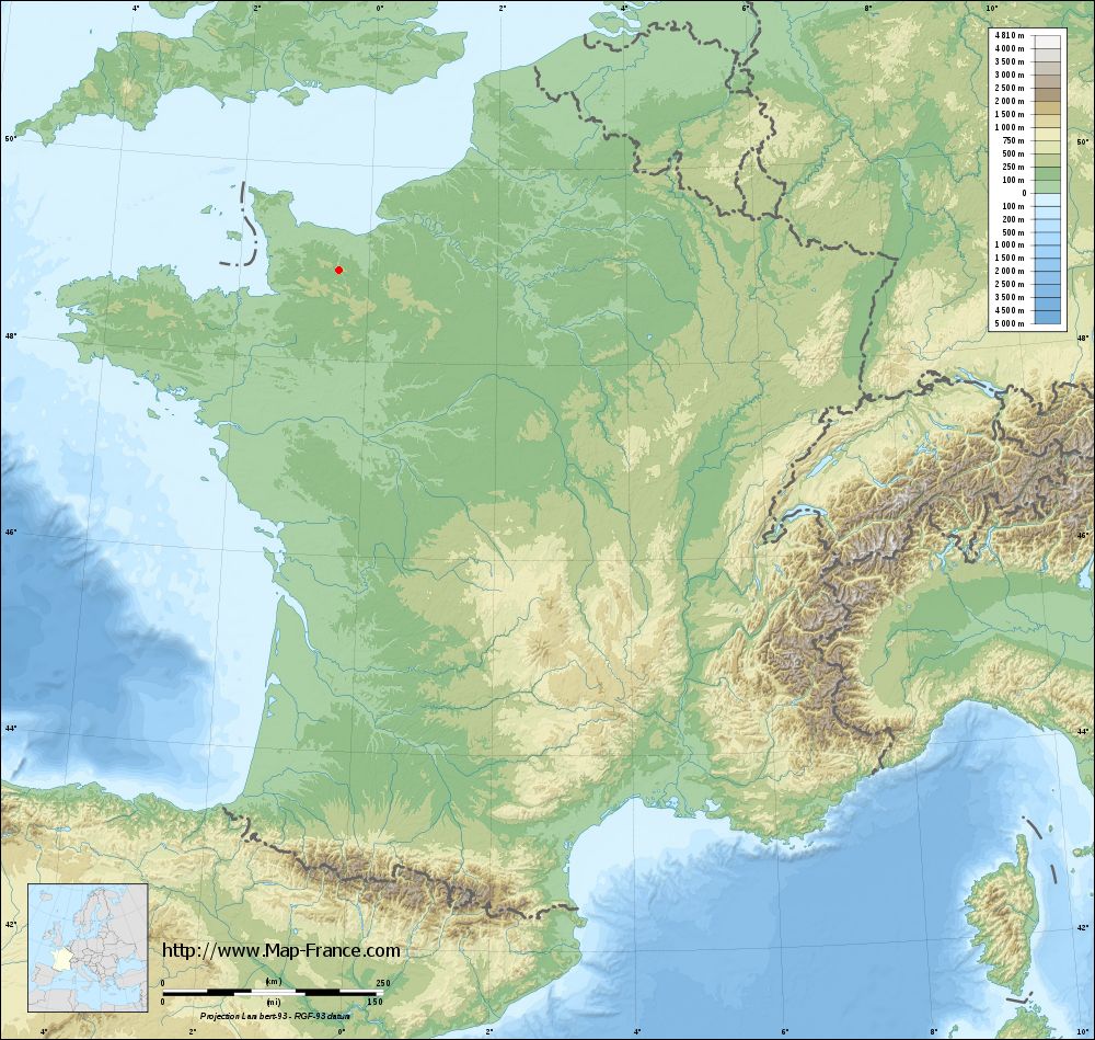
Saint-Omer on the relief France map in Lambert 93 coordinates
|

See the map of Saint-Omer in full screen (1000 x 949)
|
At left, here is the location of Saint-Omer on the relief France map in Lambert 93 coordinates.
Here are the altitudes of Saint-Omer :
- Town hall altitude of Saint-Omer is 224 meters
- Minimum altitude of Saint-Omer is 90 meters
- Maximum altitude of Saint-Omer is 306 meters
- Medium altitude of Saint-Omer is 198 meters
Here are the altitudes of Caen, prefecture of Calvados department:
- Town hall altitude of Caen is 25 meters
- Minimum altitude of Caen is 2 meters
- Maximum altitude of Caen is 73 meters
- Medium altitude of Caen is 38 meters
Here are the altitudes of the french biggest cities:
Paris : 33 meters
Marseille : 20 meters
Lyon : 237 meters
Toulouse : 146 meters
Nice : 10 meters
Nantes : 20 meters
Strasbourg : 144 meters
Montpellier : 35 meters
Bordeaux : 16 meters
Lille : 20 meters
Rennes : 35 meters
Reims : 83 meters
Click here for the terrain map of Saint-Omer in full screen:
Relief map of Saint-Omer
|
This relief map of Saint-Omer is reusable and modifiable by making a link to this page of the Map-France.com website or by using the given code :
|
Terrain base map of Saint-Omer
|
See the terrain base map of Saint-Omer in full screen (1000 x 949)
|
Small relief base map of Saint-Omer
|
This base map of Saint-Omer is reusable and modifiable by making a link to this page of the Map-France.com website or by using the given code :
|
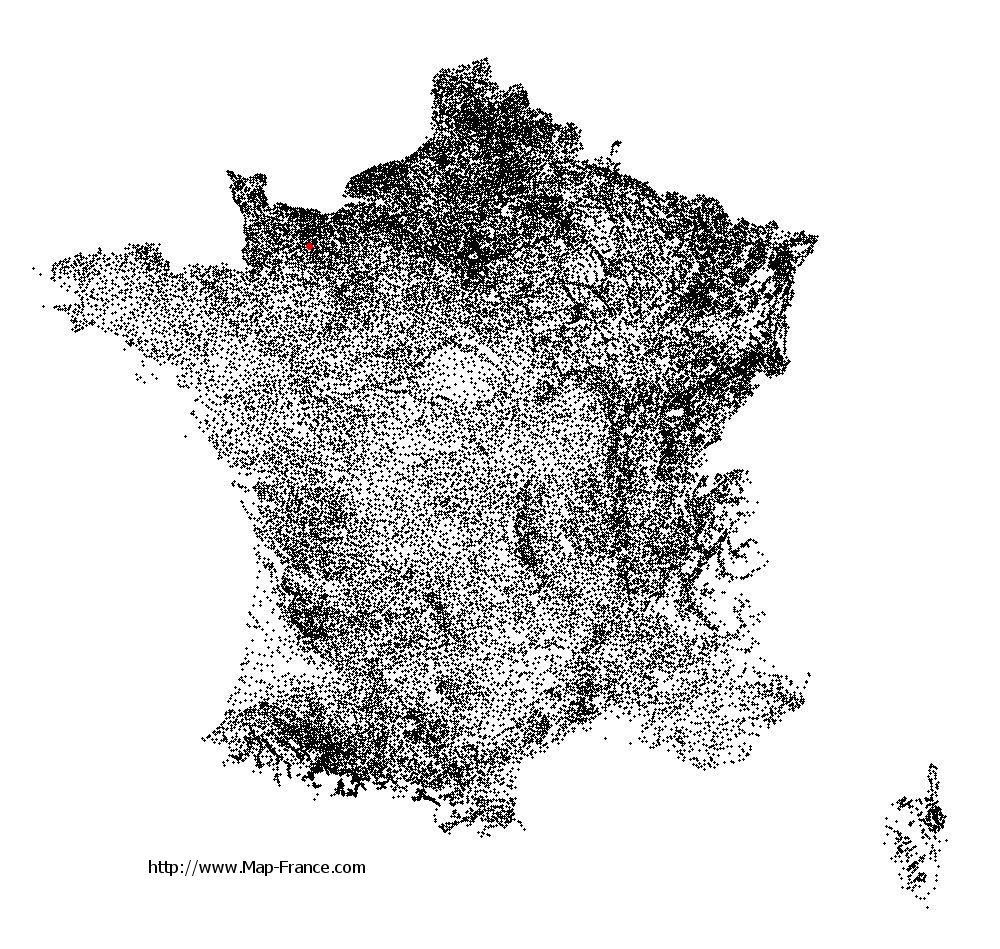
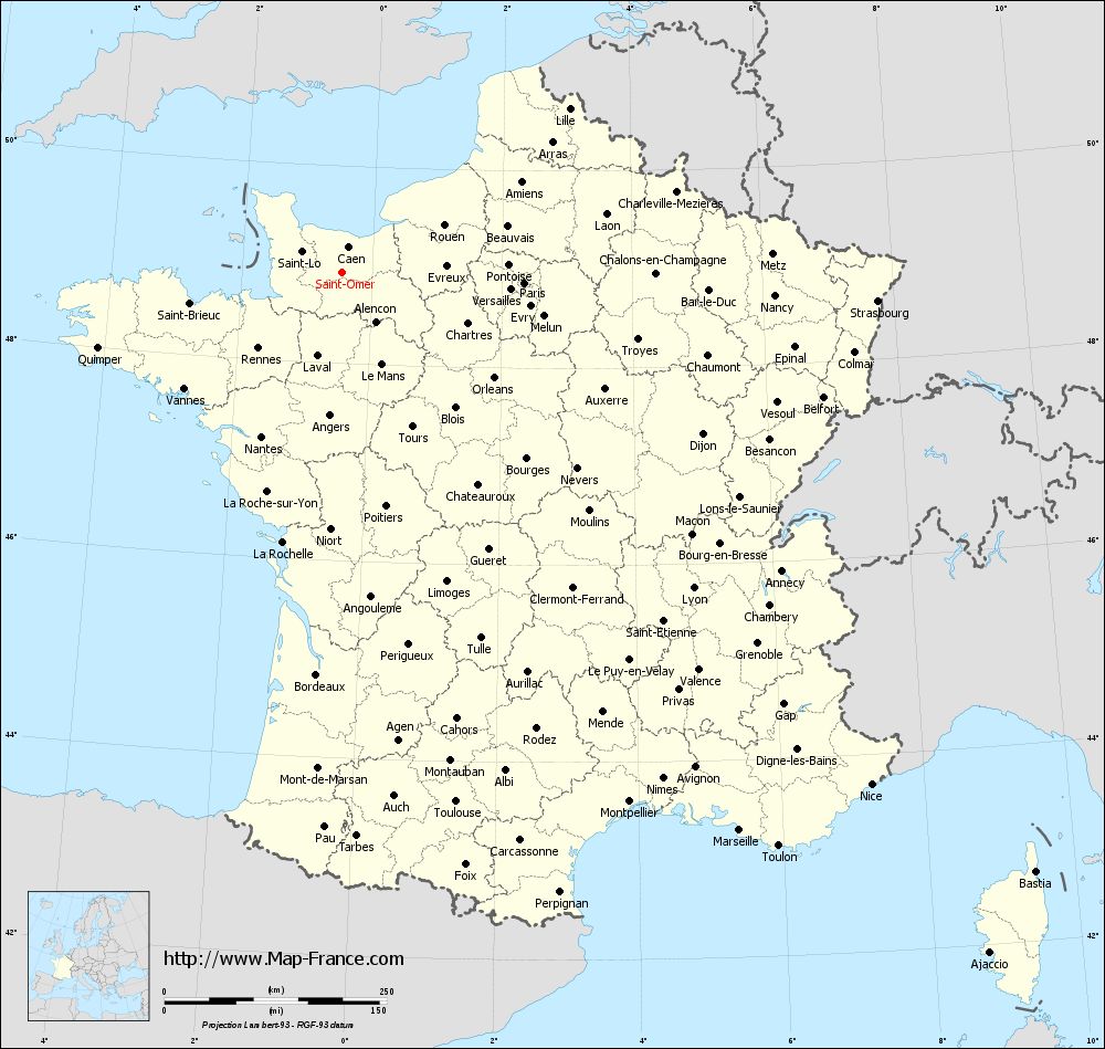
Map of Saint-Omer with regions and prefectures
|
View the map of Saint-Omer in full screen (1000 x 949)
|
You will find the location of Saint-Omer on the map of France of regions in Lambert 93 coordinates. The town of Saint-Omer is located in the department of Calvados of the french region Basse-Normandie.
Geographical sexagesimal coordinates / GPS (WGS84):
Latitude: 48° 55' 33'' North
Longitude: 00° 27' 12'' West
Geographical decimal coordinates :
Latitude: 48.927 degrees (48.927° North)
Longitude: -0.454 degrees (0.454° West)
Lambert 93 coordinates :
X: 4 470 hectometers
Y: 68 751 hectometers
Lambert 2 coordinates :
X: 3 955 hectometers
Y: 24 400 hectometers
Below, the geographical coordinates of Caen, prefecture of the Calvados department:
Geographical sexagesimal coordinates / GPS (WGS84):
Latitude: 49° 10' 56'' North
Longitude: 00° 22' 14'' West
Geographical decimal coordinates :
Latitude: 49.184 degrees (49.184° North)
Longitude: -0.36 degrees (0.36° West)
Lambert 93 coordinates :
X: 4 543 hectometers
Y: 69 033 hectometers
Lambert 2 coordinates :
X: 4 025 hectometers
Y: 24 683 hectometers
|
This map of Saint-Omer is reusable and modifiable by making a link to this page of the Map-France.com website or by using the given code :
|
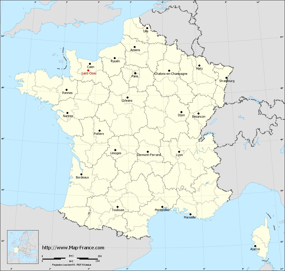
Map of Saint-Omer with departments and prefectures
|
Voir la carte of Saint-Omer en grand format (1000 x 949)
|
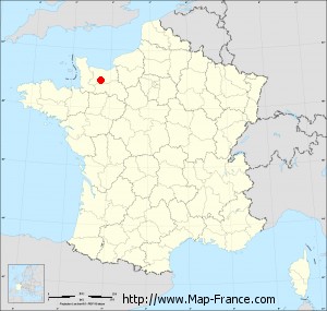
Here is the localization of Saint-Omer on the France map of departments in Lambert 93 coordinates. The city of Saint-Omer is shown on the map by a red point.
The town of Saint-Omer is located in the department of Calvados of the french region Basse-Normandie.
The latitude of Saint-Omer is 48.927 degrees North.
The longitude of Saint-Omer is 0.454 degrees West.
Here the distance between Saint-Omer and the biggest cities of France:
Distances are calculated as the crow flies (orthodromic distance)
Distance between Saint-Omer and Paris : 204.63 kilometers
Distance between Saint-Omer and Marseille : 770.54 kilometers
Distance between Saint-Omer and Lyon : 531.17 kilometers
Distance between Saint-Omer and Toulouse : 609.64 kilometers
Distance between Saint-Omer and Nice : 828.14 kilometers
Distance between Saint-Omer and Nantes : 206.59 kilometers
Distance between Saint-Omer and Strasbourg : 602.27 kilometers
Distance between Saint-Omer and Montpellier : 677.72 kilometers
Distance between Saint-Omer and Bordeaux : 453.87 kilometers
Distance between Saint-Omer and Lille : 314.14 kilometers
Distance between Saint-Omer and Rennes : 128.19 kilometers
Distance between Saint-Omer and Reims : 328.35 kilometers
Clic here to see the map of Saint-Omer in full screen:
Saint-Omer on the map of french departments
|
This administrative map of Saint-Omer is reusable and modifiable by making a link to this page of the Map-France.com website or by using the given code :
|
Administrative base maps of Saint-Omer
|

See the administrative base map of Saint-Omer in full screen (1000 x 949)
|
Small administrative base map of Saint-Omer
|
This base map administrative of Saint-Omer is reusable and modifiable by making a link to this page of the Map-France.com website or by using the given code :
|
 French Version : http://www.cartesfrance.fr