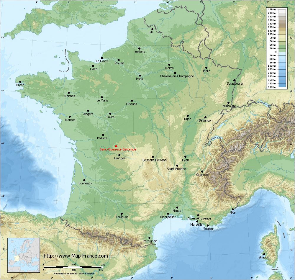
Saint-Ouen-sur-Gartempe on the relief France map in Lambert 93 coordinates
|
See the map of Saint-Ouen-sur-Gartempe in full screen (1000 x 949)
|
At left, here is the location of Saint-Ouen-sur-Gartempe on the relief France map in Lambert 93 coordinates.
Here are the altitudes of Saint-Ouen-sur-Gartempe :
- Town hall altitude of Saint-Ouen-sur-Gartempe is 220 meters
- Minimum altitude of Saint-Ouen-sur-Gartempe is 167 meters
- Maximum altitude of Saint-Ouen-sur-Gartempe is 277 meters
- Medium altitude of Saint-Ouen-sur-Gartempe is 222 meters
Here are the altitudes of Limoges, prefecture of Haute-Vienne department:
- Town hall altitude of Limoges is 306 meters
- Minimum altitude of Limoges is 209 meters
- Maximum altitude of Limoges is 431 meters
- Medium altitude of Limoges is 320 meters
Here are the altitudes of the french biggest cities:
Paris : 33 meters
Marseille : 20 meters
Lyon : 237 meters
Toulouse : 146 meters
Nice : 10 meters
Nantes : 20 meters
Strasbourg : 144 meters
Montpellier : 35 meters
Bordeaux : 16 meters
Lille : 20 meters
Rennes : 35 meters
Reims : 83 meters
Click here for the terrain map of Saint-Ouen-sur-Gartempe in full screen:
Relief map of Saint-Ouen-sur-Gartempe
|
This relief map of Saint-Ouen-sur-Gartempe is reusable and modifiable by making a link to this page of the Map-France.com website or by using the given code :
|
Terrain base map of Saint-Ouen-sur-Gartempe
|

See the terrain base map of Saint-Ouen-sur-Gartempe in full screen (1000 x 949)
|
Small relief base map of Saint-Ouen-sur-Gartempe
|
This base map of Saint-Ouen-sur-Gartempe is reusable and modifiable by making a link to this page of the Map-France.com website or by using the given code :
|
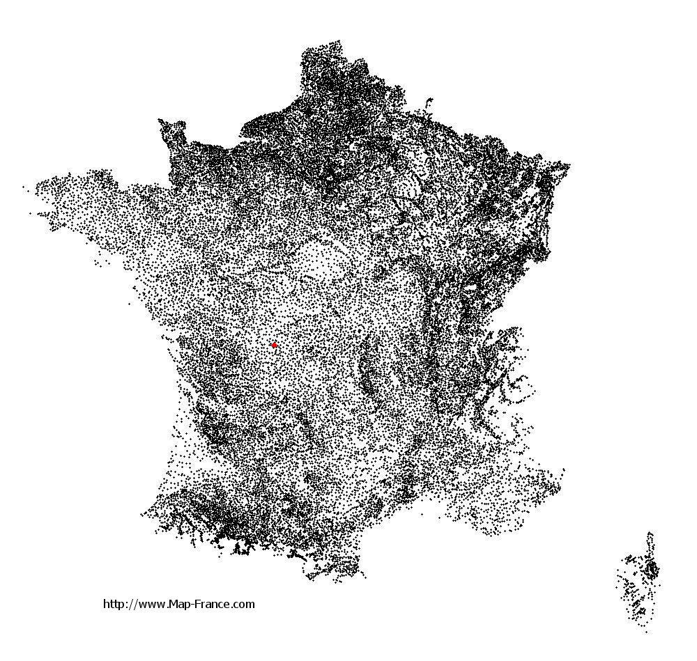
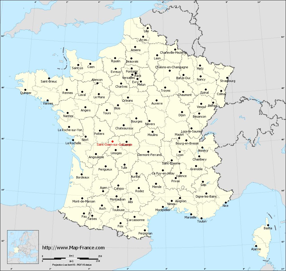
Map of Saint-Ouen-sur-Gartempe with regions and prefectures
|
View the map of Saint-Ouen-sur-Gartempe in full screen (1000 x 949)
|
You will find the location of Saint-Ouen-sur-Gartempe on the map of France of regions in Lambert 93 coordinates. The town of Saint-Ouen-sur-Gartempe is located in the department of Haute-Vienne of the french region Limousin.
Geographical sexagesimal coordinates / GPS (WGS84):
Latitude: 46° 09' 48'' North
Longitude: 01° 04' 04'' East
Geographical decimal coordinates :
Latitude: 46.165 degrees (46.165° North)
Longitude: 1.069 degrees (1.069° East)
Lambert 93 coordinates :
X: 5 509 hectometers
Y: 65 644 hectometers
Lambert 2 coordinates :
X: 5 020 hectometers
Y: 21 300 hectometers
Below, the geographical coordinates of Limoges, prefecture of the Haute-Vienne department:
Geographical sexagesimal coordinates / GPS (WGS84):
Latitude: 45° 50' 04'' North
Longitude: 01° 15' 42'' East
Geographical decimal coordinates :
Latitude: 45.832 degrees (45.832° North)
Longitude: 1.259 degrees (1.259° East)
Lambert 93 coordinates :
X: 5 651 hectometers
Y: 65 276 hectometers
Lambert 2 coordinates :
X: 5 165 hectometers
Y: 20 933 hectometers
|
This map of Saint-Ouen-sur-Gartempe is reusable and modifiable by making a link to this page of the Map-France.com website or by using the given code :
|
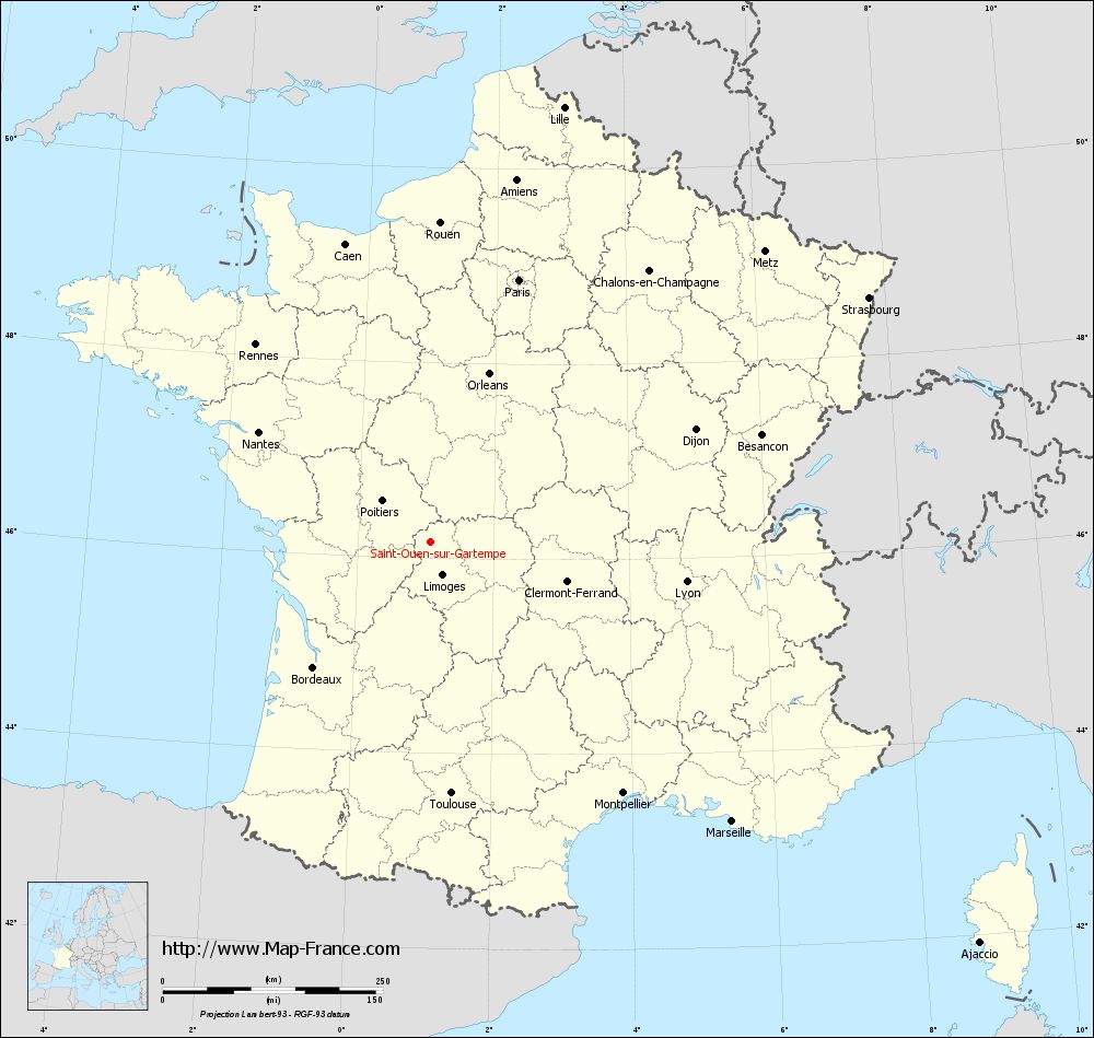
Map of Saint-Ouen-sur-Gartempe with departments and prefectures
|
Voir la carte of Saint-Ouen-sur-Gartempe en grand format (1000 x 949)
|
Here is the localization of Saint-Ouen-sur-Gartempe on the France map of departments in Lambert 93 coordinates. The city of Saint-Ouen-sur-Gartempe is shown on the map by a red point.
The town of Saint-Ouen-sur-Gartempe is located in the department of Haute-Vienne of the french region Limousin.
The latitude of Saint-Ouen-sur-Gartempe is 46.165 degrees North.
The longitude of Saint-Ouen-sur-Gartempe is 1.069 degrees East.
Here the distance between Saint-Ouen-sur-Gartempe and the biggest cities of France:
Distances are calculated as the crow flies (orthodromic distance)
Distance between Saint-Ouen-sur-Gartempe and Paris : 314.48 kilometers
Distance between Saint-Ouen-sur-Gartempe and Marseille : 467.11 kilometers
Distance between Saint-Ouen-sur-Gartempe and Lyon : 294.26 kilometers
Distance between Saint-Ouen-sur-Gartempe and Toulouse : 286.53 kilometers
Distance between Saint-Ouen-sur-Gartempe and Nice : 558.24 kilometers
Distance between Saint-Ouen-sur-Gartempe and Nantes : 231.68 kilometers
Distance between Saint-Ouen-sur-Gartempe and Strasbourg : 570.16 kilometers
Distance between Saint-Ouen-sur-Gartempe and Montpellier : 359.66 kilometers
Distance between Saint-Ouen-sur-Gartempe and Bordeaux : 194.81 kilometers
Distance between Saint-Ouen-sur-Gartempe and Lille : 516.83 kilometers
Distance between Saint-Ouen-sur-Gartempe and Rennes : 299.61 kilometers
Distance between Saint-Ouen-sur-Gartempe and Reims : 408.78 kilometers
Clic here to see the map of Saint-Ouen-sur-Gartempe in full screen:
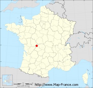
Saint-Ouen-sur-Gartempe on the map of french departments
|
This administrative map of Saint-Ouen-sur-Gartempe is reusable and modifiable by making a link to this page of the Map-France.com website or by using the given code :
|
Administrative base maps of Saint-Ouen-sur-Gartempe
|

See the administrative base map of Saint-Ouen-sur-Gartempe in full screen (1000 x 949)
|
Small administrative base map of Saint-Ouen-sur-Gartempe
|
This base map administrative of Saint-Ouen-sur-Gartempe is reusable and modifiable by making a link to this page of the Map-France.com website or by using the given code :
|
 French Version : http://www.cartesfrance.fr