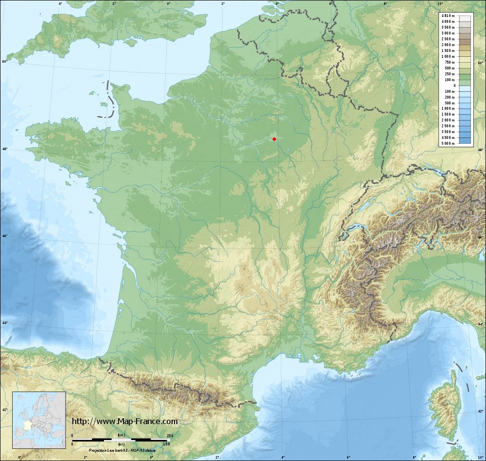
Saint-Oulph on the relief France map in Lambert 93 coordinates
|

See the map of Saint-Oulph in full screen (1000 x 949)
|
At left, here is the location of Saint-Oulph on the relief France map in Lambert 93 coordinates.
Here are the altitudes of Saint-Oulph :
- Town hall altitude of Saint-Oulph is 80 meters
- Minimum altitude of Saint-Oulph is 78 meters
- Maximum altitude of Saint-Oulph is 97 meters
- Medium altitude of Saint-Oulph is 88 meters
Here are the altitudes of Troyes, prefecture of Aube department:
- Town hall altitude of Troyes is 107 meters
- Minimum altitude of Troyes is 100 meters
- Maximum altitude of Troyes is 126 meters
- Medium altitude of Troyes is 113 meters
Here are the altitudes of the french biggest cities:
Paris : 33 meters
Marseille : 20 meters
Lyon : 237 meters
Toulouse : 146 meters
Nice : 10 meters
Nantes : 20 meters
Strasbourg : 144 meters
Montpellier : 35 meters
Bordeaux : 16 meters
Lille : 20 meters
Rennes : 35 meters
Reims : 83 meters
Click here for the terrain map of Saint-Oulph in full screen:
Relief map of Saint-Oulph
|
This relief map of Saint-Oulph is reusable and modifiable by making a link to this page of the Map-France.com website or by using the given code :
|
Terrain base map of Saint-Oulph
|
See the terrain base map of Saint-Oulph in full screen (1000 x 949)
|
Small relief base map of Saint-Oulph

|
This base map of Saint-Oulph is reusable and modifiable by making a link to this page of the Map-France.com website or by using the given code :
|
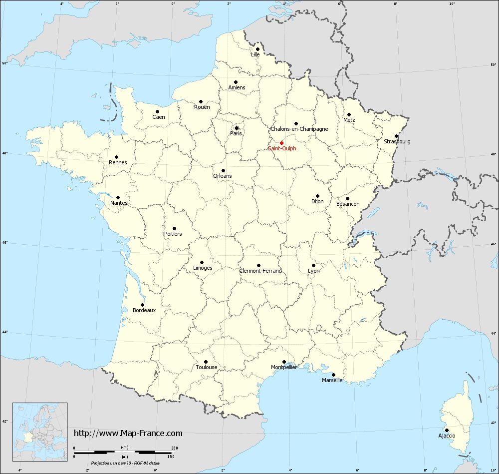
Map of Saint-Oulph with regions and prefectures
|
View the map of Saint-Oulph in full screen (1000 x 949)
|
You will find the location of Saint-Oulph on the map of France of regions in Lambert 93 coordinates. The town of Saint-Oulph is located in the department of Aube of the french region Champagne-Ardenne.
Geographical sexagesimal coordinates / GPS (WGS84):
Latitude: 48° 31' 07'' North
Longitude: 03° 52' 01'' East
Geographical decimal coordinates :
Latitude: 48.519 degrees (48.519° North)
Longitude: 3.87 degrees (3.87° East)
Lambert 93 coordinates :
X: 7 640 hectometers
Y: 68 246 hectometers
Lambert 2 coordinates :
X: 7 131 hectometers
Y: 23 922 hectometers
Below, the geographical coordinates of Troyes, prefecture of the Aube department:
Geographical sexagesimal coordinates / GPS (WGS84):
Latitude: 48° 17' 56'' North
Longitude: 04° 04' 41'' East
Geographical decimal coordinates :
Latitude: 48.296 degrees (48.296° North)
Longitude: 4.072 degrees (4.072° East)
Lambert 93 coordinates :
X: 7 800 hectometers
Y: 68 004 hectometers
Lambert 2 coordinates :
X: 7 292 hectometers
Y: 23 681 hectometers
|
This map of Saint-Oulph is reusable and modifiable by making a link to this page of the Map-France.com website or by using the given code :
|
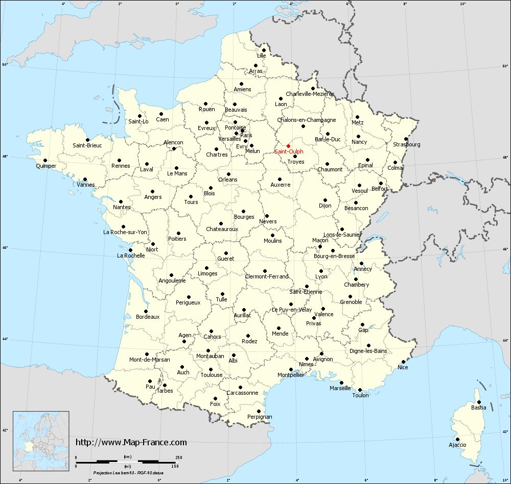
Map of Saint-Oulph with departments and prefectures
|
Voir la carte of Saint-Oulph en grand format (1000 x 949)
|
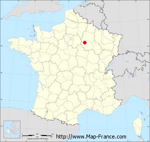
Here is the localization of Saint-Oulph on the France map of departments in Lambert 93 coordinates. The city of Saint-Oulph is shown on the map by a red point.
The town of Saint-Oulph is located in the department of Aube of the french region Champagne-Ardenne.
The latitude of Saint-Oulph is 48.519 degrees North.
The longitude of Saint-Oulph is 3.87 degrees East.
Here the distance between Saint-Oulph and the biggest cities of France:
Distances are calculated as the crow flies (orthodromic distance)
Distance between Saint-Oulph and Paris : 118.04 kilometers
Distance between Saint-Oulph and Marseille : 592.09 kilometers
Distance between Saint-Oulph and Lyon : 315.16 kilometers
Distance between Saint-Oulph and Toulouse : 577.46 kilometers
Distance between Saint-Oulph and Nice : 595.06 kilometers
Distance between Saint-Oulph and Nantes : 429.18 kilometers
Distance between Saint-Oulph and Strasbourg : 285.85 kilometers
Distance between Saint-Oulph and Montpellier : 545.6 kilometers
Distance between Saint-Oulph and Bordeaux : 530.51 kilometers
Distance between Saint-Oulph and Lille : 241.7 kilometers
Distance between Saint-Oulph and Rennes : 412.57 kilometers
Distance between Saint-Oulph and Reims : 82.9 kilometers
Clic here to see the map of Saint-Oulph in full screen:
Saint-Oulph on the map of french departments
|
This administrative map of Saint-Oulph is reusable and modifiable by making a link to this page of the Map-France.com website or by using the given code :
|
Administrative base maps of Saint-Oulph
|

See the administrative base map of Saint-Oulph in full screen (1000 x 949)
|
Small administrative base map of Saint-Oulph
|
This base map administrative of Saint-Oulph is reusable and modifiable by making a link to this page of the Map-France.com website or by using the given code :
|
 French Version : http://www.cartesfrance.fr