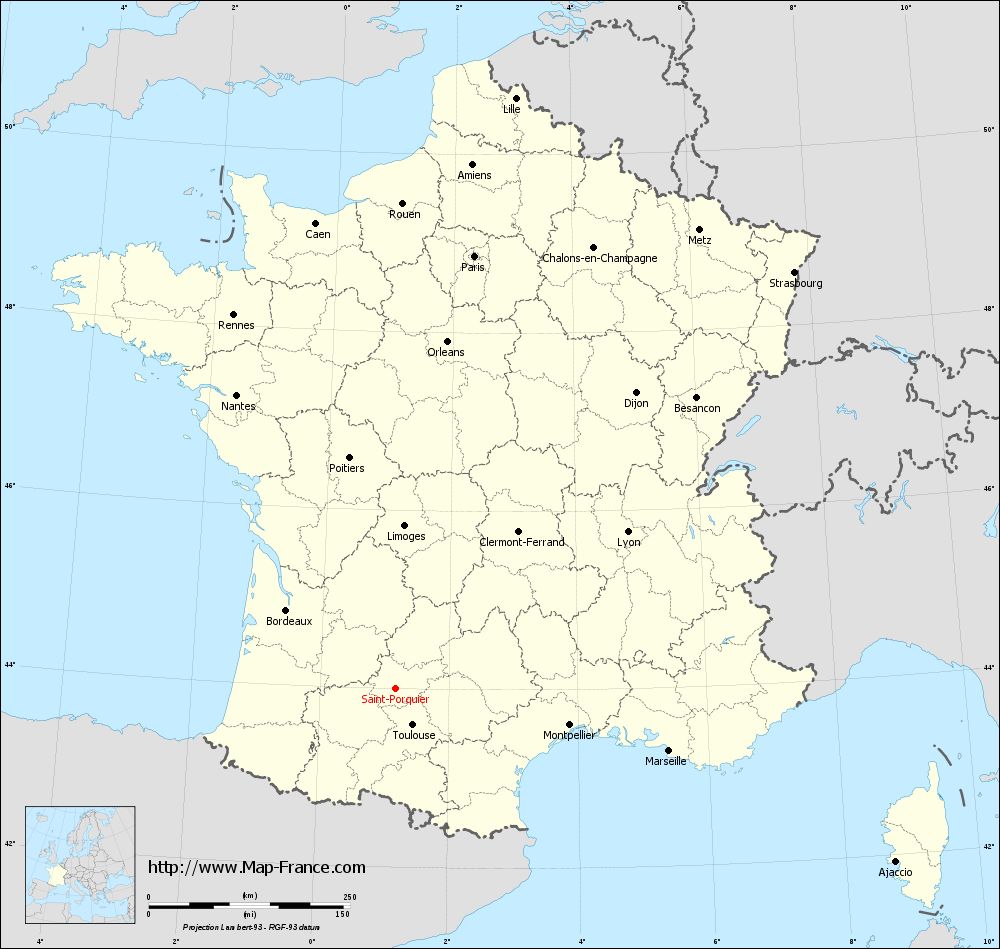
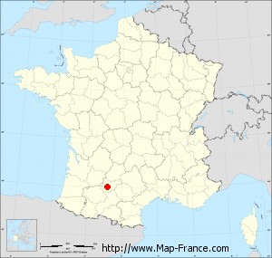
Map of Saint-Porquier with regions and prefectures
|
View the map of Saint-Porquier in full screen (1000 x 949)
|
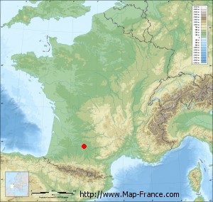
You will find the location of Saint-Porquier on the map of France of regions in Lambert 93 coordinates. The town of Saint-Porquier is located in the department of Tarn-et-Garonne of the french region Midi-Pyrénées.
Geographical sexagesimal coordinates / GPS (WGS84):
Latitude: 44° 00' 17'' North
Longitude: 01° 10' 38'' East
Geographical decimal coordinates :
Latitude: 44.004 degrees (44.004° North)
Longitude: 1.177 degrees (1.177° East)
Lambert 93 coordinates :
X: 5 538 hectometers
Y: 63 246 hectometers
Lambert 2 coordinates :
X: 5 069 hectometers
Y: 18 899 hectometers
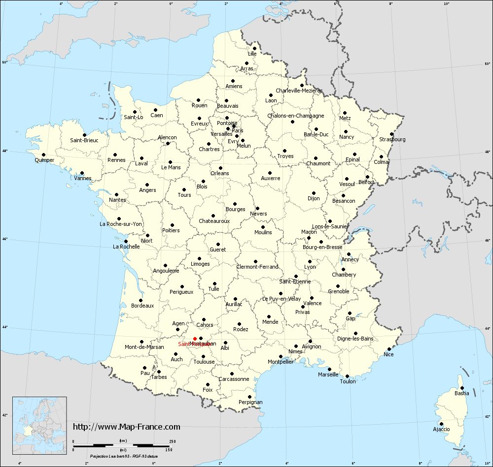
Below, the geographical coordinates of Montauban, prefecture of the Tarn-et-Garonne department:
Geographical sexagesimal coordinates / GPS (WGS84):
Latitude: 44° 01' 02'' North
Longitude: 01° 21' 18'' East
Geographical decimal coordinates :
Latitude: 44.018 degrees (44.018° North)
Longitude: 1.36 degrees (1.36° East)
Lambert 93 coordinates :
X: 5 681 hectometers
Y: 63 256 hectometers
Lambert 2 coordinates :
X: 5 212 hectometers
Y: 18 911 hectometers
|
This map of Saint-Porquier is reusable and modifiable by making a link to this page of the Map-France.com website or by using the given code :
|
Map of Saint-Porquier with departments and prefectures
|
Voir la carte of Saint-Porquier en grand format (1000 x 949)
|
Here is the localization of Saint-Porquier on the France map of departments in Lambert 93 coordinates. The city of Saint-Porquier is shown on the map by a red point.
The town of Saint-Porquier is located in the department of Tarn-et-Garonne of the french region Midi-Pyrénées.
The latitude of Saint-Porquier is 44.004 degrees North.
The longitude of Saint-Porquier is 1.177 degrees East.
Here the distance between Saint-Porquier and the biggest cities of France:
Distances are calculated as the crow flies (orthodromic distance)
Distance between Saint-Porquier and Paris : 547.02 kilometers
Distance between Saint-Porquier and Marseille : 348.36 kilometers
Distance between Saint-Porquier and Lyon : 347.79 kilometers
Distance between Saint-Porquier and Toulouse : 49.91 kilometers
Distance between Saint-Porquier and Nice : 488.55 kilometers
Distance between Saint-Porquier and Nantes : 415.49 kilometers
Distance between Saint-Porquier and Strasbourg : 716.52 kilometers
Distance between Saint-Porquier and Montpellier : 220.66 kilometers
Distance between Saint-Porquier and Bordeaux : 167.4 kilometers
Distance between Saint-Porquier and Lille : 749.28 kilometers
Distance between Saint-Porquier and Rennes : 506.34 kilometers
Distance between Saint-Porquier and Reims : 622.98 kilometers
Clic here to see the map of Saint-Porquier in full screen:
Saint-Porquier on the map of french departments
|
This administrative map of Saint-Porquier is reusable and modifiable by making a link to this page of the Map-France.com website or by using the given code :
|
Administrative base maps of Saint-Porquier
|

See the administrative base map of Saint-Porquier in full screen (1000 x 949)
|
Small administrative base map of Saint-Porquier
|
This base map administrative of Saint-Porquier is reusable and modifiable by making a link to this page of the Map-France.com website or by using the given code :
|
 French Version : http://www.cartesfrance.fr