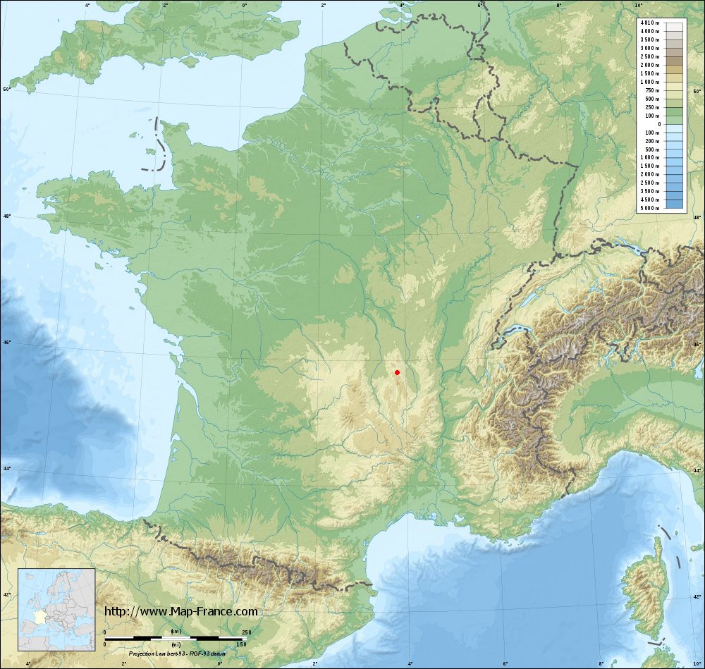
Saint-Priest-la-Vêtre on the relief France map in Lambert 93 coordinates
|

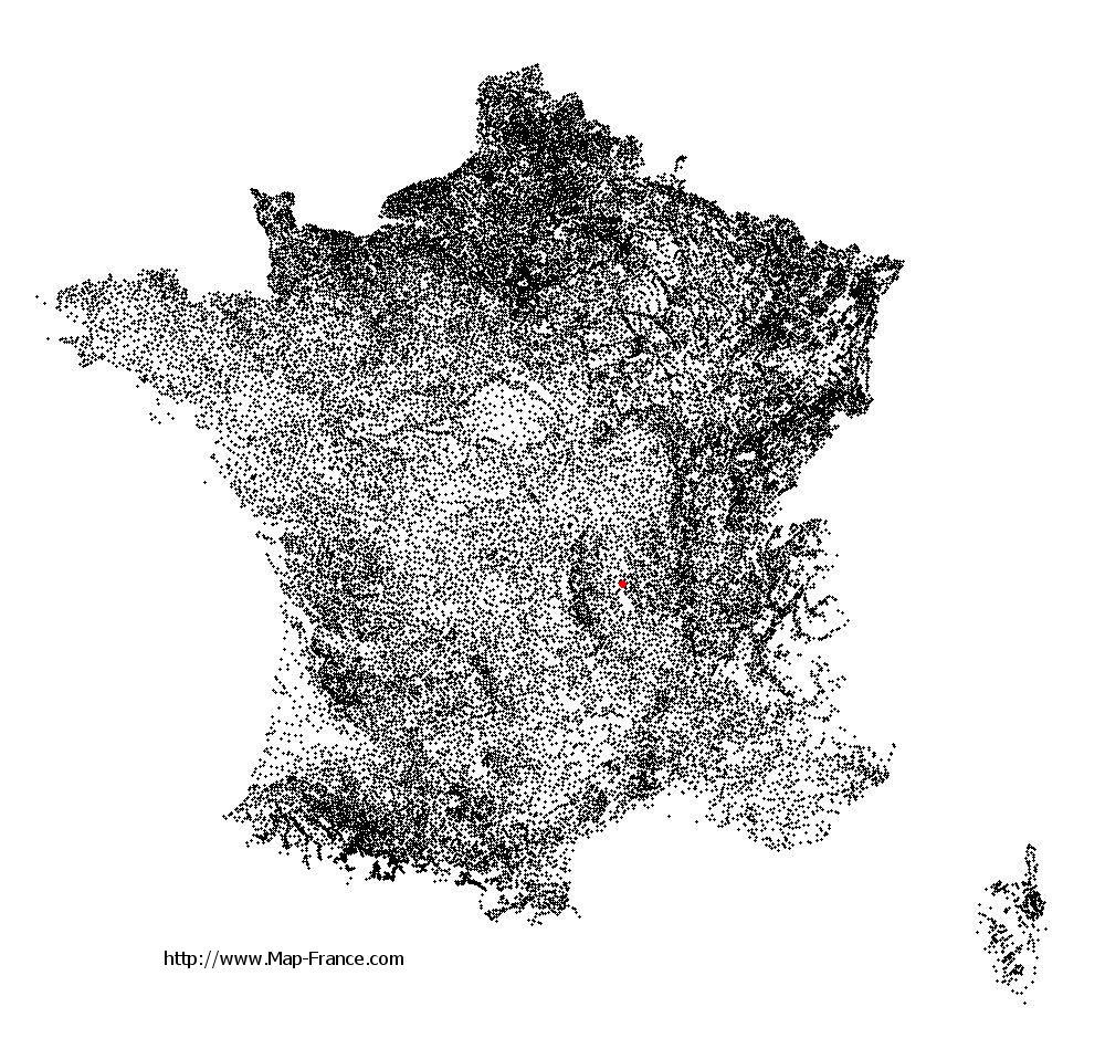
See the map of Saint-Priest-la-Vêtre in full screen (1000 x 949)
|
At left, here is the location of Saint-Priest-la-Vêtre on the relief France map in Lambert 93 coordinates.
Here are the altitudes of Saint-Priest-la-Vêtre :
- Town hall altitude of Saint-Priest-la-Vêtre is 660 meters
- Minimum altitude of Saint-Priest-la-Vêtre is 607 meters
- Maximum altitude of Saint-Priest-la-Vêtre is 820 meters
- Medium altitude of Saint-Priest-la-Vêtre is 714 meters
Here are the altitudes of Saint-Étienne, prefecture of Loire department:
- Town hall altitude of Saint-Étienne is 515 meters
- Minimum altitude of Saint-Étienne is 422 meters
- Maximum altitude of Saint-Étienne is 1 117 meters
- Medium altitude of Saint-Étienne is 770 meters
Here are the altitudes of the french biggest cities:
Paris : 33 meters
Marseille : 20 meters
Lyon : 237 meters
Toulouse : 146 meters
Nice : 10 meters
Nantes : 20 meters
Strasbourg : 144 meters
Montpellier : 35 meters
Bordeaux : 16 meters
Lille : 20 meters
Rennes : 35 meters
Reims : 83 meters
Click here for the terrain map of Saint-Priest-la-Vêtre in full screen:
Relief map of Saint-Priest-la-Vêtre
|
This relief map of Saint-Priest-la-Vêtre is reusable and modifiable by making a link to this page of the Map-France.com website or by using the given code :
|
Terrain base map of Saint-Priest-la-Vêtre
|
See the terrain base map of Saint-Priest-la-Vêtre in full screen (1000 x 949)
|
Small relief base map of Saint-Priest-la-Vêtre

|
This base map of Saint-Priest-la-Vêtre is reusable and modifiable by making a link to this page of the Map-France.com website or by using the given code :
|
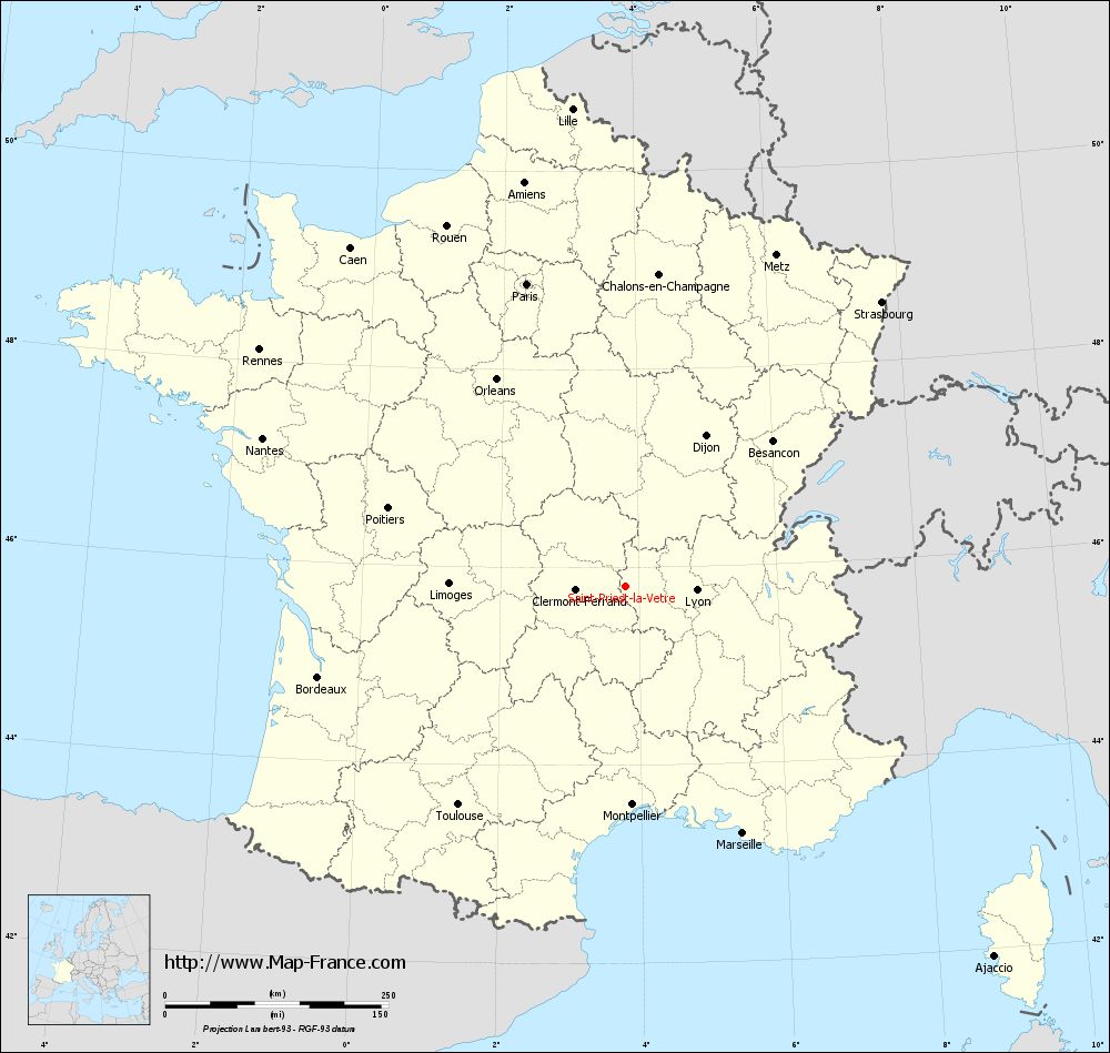
Map of Saint-Priest-la-Vêtre with regions and prefectures
|
View the map of Saint-Priest-la-Vêtre in full screen (1000 x 949)
|
You will find the location of Saint-Priest-la-Vêtre on the map of France of regions in Lambert 93 coordinates. The town of Saint-Priest-la-Vêtre is located in the department of Loire of the french region Rhône-Alpes.
Geographical sexagesimal coordinates / GPS (WGS84):
Latitude: 45° 48' 17'' North
Longitude: 03° 48' 47'' East
Geographical decimal coordinates :
Latitude: 45.804 degrees (45.804° North)
Longitude: 3.812 degrees (3.812° East)
Lambert 93 coordinates :
X: 7 631 hectometers
Y: 65 231 hectometers
Lambert 2 coordinates :
X: 7 148 hectometers
Y: 20 905 hectometers
Below, the geographical coordinates of Saint-Étienne, prefecture of the Loire department:
Geographical sexagesimal coordinates / GPS (WGS84):
Latitude: 45° 26' 02'' North
Longitude: 04° 23' 23'' East
Geographical decimal coordinates :
Latitude: 45.441 degrees (45.441° North)
Longitude: 4.39 degrees (4.39° East)
Lambert 93 coordinates :
X: 8 086 hectometers
Y: 64 825 hectometers
Lambert 2 coordinates :
X: 7 607 hectometers
Y: 20 502 hectometers
|
This map of Saint-Priest-la-Vêtre is reusable and modifiable by making a link to this page of the Map-France.com website or by using the given code :
|
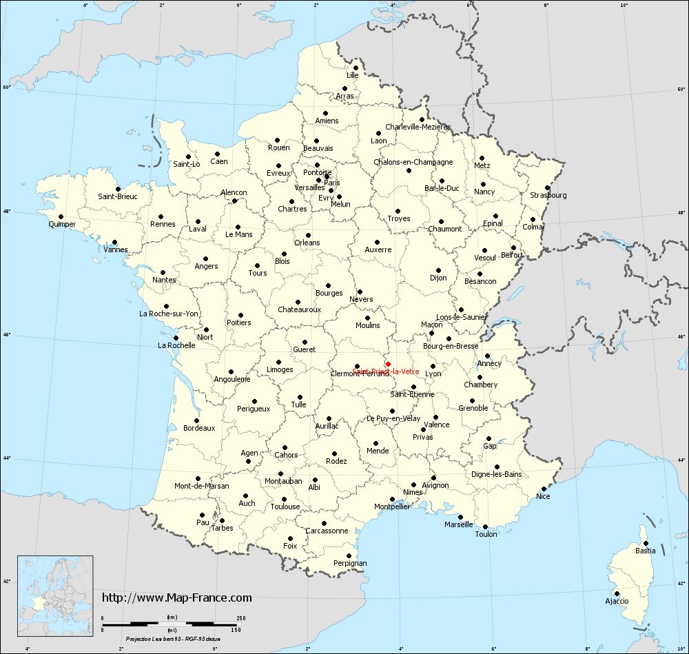
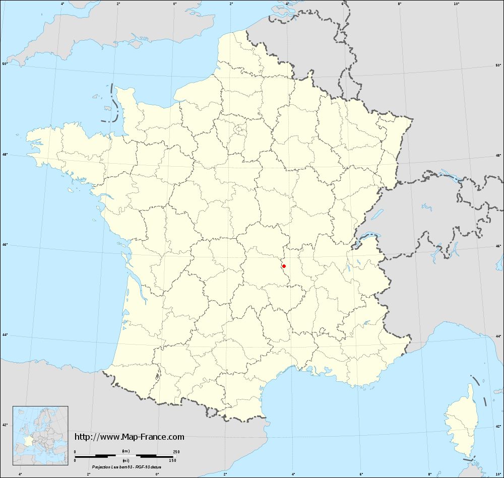
Map of Saint-Priest-la-Vêtre with departments and prefectures
|
Voir la carte of Saint-Priest-la-Vêtre en grand format (1000 x 949)
|
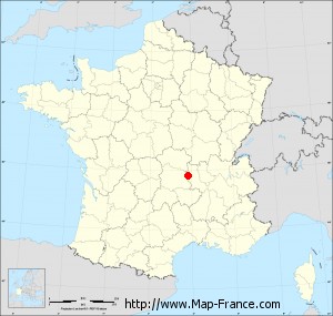
Here is the localization of Saint-Priest-la-Vêtre on the France map of departments in Lambert 93 coordinates. The city of Saint-Priest-la-Vêtre is shown on the map by a red point.
The town of Saint-Priest-la-Vêtre is located in the department of Loire of the french region Rhône-Alpes.
The latitude of Saint-Priest-la-Vêtre is 45.804 degrees North.
The longitude of Saint-Priest-la-Vêtre is 3.812 degrees East.
Here the distance between Saint-Priest-la-Vêtre and the biggest cities of France:
Distances are calculated as the crow flies (orthodromic distance)
Distance between Saint-Priest-la-Vêtre and Paris : 357.06 kilometers
Distance between Saint-Priest-la-Vêtre and Marseille : 305.57 kilometers
Distance between Saint-Priest-la-Vêtre and Lyon : 79.41 kilometers
Distance between Saint-Priest-la-Vêtre and Toulouse : 307.82 kilometers
Distance between Saint-Priest-la-Vêtre and Nice : 358.35 kilometers
Distance between Saint-Priest-la-Vêtre and Nantes : 439.26 kilometers
Distance between Saint-Priest-la-Vêtre and Strasbourg : 428.91 kilometers
Distance between Saint-Priest-la-Vêtre and Montpellier : 243.99 kilometers
Distance between Saint-Priest-la-Vêtre and Bordeaux : 358.91 kilometers
Distance between Saint-Priest-la-Vêtre and Lille : 538.93 kilometers
Distance between Saint-Priest-la-Vêtre and Rennes : 488.67 kilometers
Distance between Saint-Priest-la-Vêtre and Reims : 384.07 kilometers
Clic here to see the map of Saint-Priest-la-Vêtre in full screen:
Saint-Priest-la-Vêtre on the map of french departments
|
This administrative map of Saint-Priest-la-Vêtre is reusable and modifiable by making a link to this page of the Map-France.com website or by using the given code :
|
Administrative base maps of Saint-Priest-la-Vêtre
|
See the administrative base map of Saint-Priest-la-Vêtre in full screen (1000 x 949)
|
Small administrative base map of Saint-Priest-la-Vêtre
|
This base map administrative of Saint-Priest-la-Vêtre is reusable and modifiable by making a link to this page of the Map-France.com website or by using the given code :
|
 French Version : http://www.cartesfrance.fr