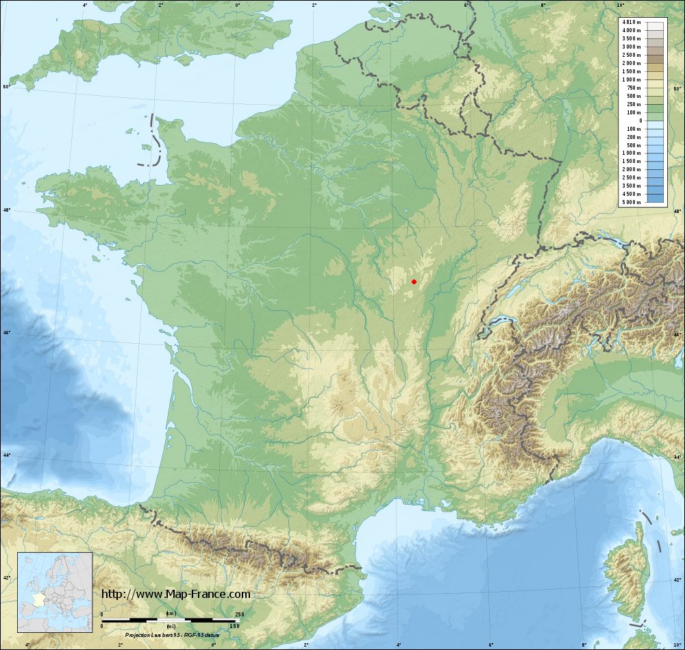
Saint-Prix-lès-Arnay on the relief France map in Lambert 93 coordinates
|

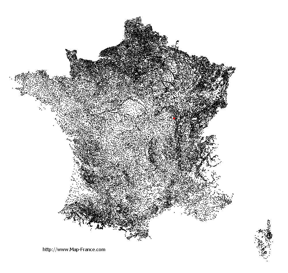
See the map of Saint-Prix-lès-Arnay in full screen (1000 x 949)
|
At left, here is the location of Saint-Prix-lès-Arnay on the relief France map in Lambert 93 coordinates.
Here are the altitudes of Saint-Prix-lès-Arnay :
- Town hall altitude of Saint-Prix-lès-Arnay is 400 meters
- Minimum altitude of Saint-Prix-lès-Arnay is 348 meters
- Maximum altitude of Saint-Prix-lès-Arnay is 433 meters
- Medium altitude of Saint-Prix-lès-Arnay is 391 meters
Here are the altitudes of Dijon, prefecture of Côte-d'Or department:
- Town hall altitude of Dijon is 245 meters
- Minimum altitude of Dijon is 220 meters
- Maximum altitude of Dijon is 410 meters
- Medium altitude of Dijon is 315 meters
Here are the altitudes of the french biggest cities:
Paris : 33 meters
Marseille : 20 meters
Lyon : 237 meters
Toulouse : 146 meters
Nice : 10 meters
Nantes : 20 meters
Strasbourg : 144 meters
Montpellier : 35 meters
Bordeaux : 16 meters
Lille : 20 meters
Rennes : 35 meters
Reims : 83 meters
Click here for the terrain map of Saint-Prix-lès-Arnay in full screen:
Relief map of Saint-Prix-lès-Arnay
|
This relief map of Saint-Prix-lès-Arnay is reusable and modifiable by making a link to this page of the Map-France.com website or by using the given code :
|
Terrain base map of Saint-Prix-lès-Arnay
|
See the terrain base map of Saint-Prix-lès-Arnay in full screen (1000 x 949)
|
Small relief base map of Saint-Prix-lès-Arnay

|
This base map of Saint-Prix-lès-Arnay is reusable and modifiable by making a link to this page of the Map-France.com website or by using the given code :
|
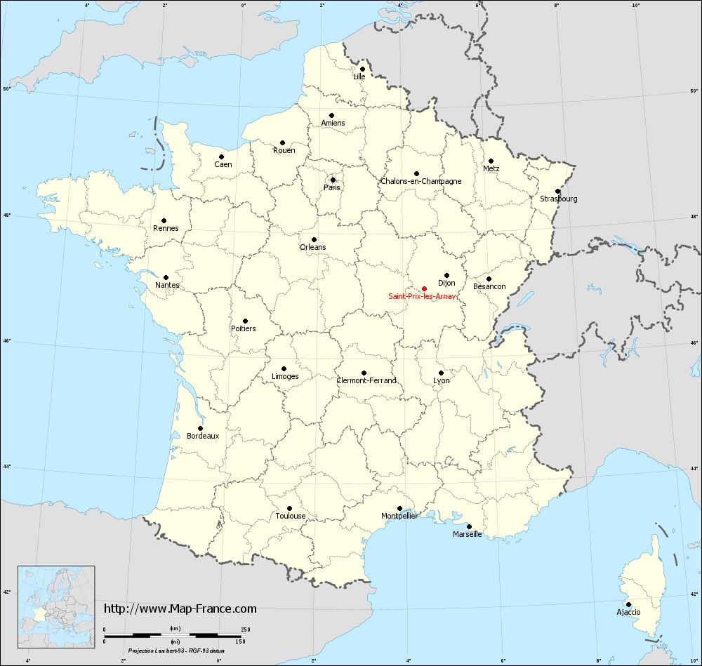
Map of Saint-Prix-lès-Arnay with regions and prefectures
|
View the map of Saint-Prix-lès-Arnay in full screen (1000 x 949)
|
You will find the location of Saint-Prix-lès-Arnay on the map of France of regions in Lambert 93 coordinates. The town of Saint-Prix-lès-Arnay is located in the department of Côte-d'Or of the french region Bourgogne.
Geographical sexagesimal coordinates / GPS (WGS84):
Latitude: 47° 06' 57'' North
Longitude: 04° 29' 47'' East
Geographical decimal coordinates :
Latitude: 47.115 degrees (47.115° North)
Longitude: 4.496 degrees (4.496° East)
Lambert 93 coordinates :
X: 8 135 hectometers
Y: 66 695 hectometers
Lambert 2 coordinates :
X: 7 639 hectometers
Y: 22 374 hectometers
Below, the geographical coordinates of Dijon, prefecture of the Côte-d'Or department:
Geographical sexagesimal coordinates / GPS (WGS84):
Latitude: 47° 19' 23'' North
Longitude: 05° 02' 31'' East
Geographical decimal coordinates :
Latitude: 47.322 degrees (47.322° North)
Longitude: 5.036 degrees (5.036° East)
Lambert 93 coordinates :
X: 8 542 hectometers
Y: 66 934 hectometers
Lambert 2 coordinates :
X: 8 045 hectometers
Y: 22 617 hectometers
|
This map of Saint-Prix-lès-Arnay is reusable and modifiable by making a link to this page of the Map-France.com website or by using the given code :
|
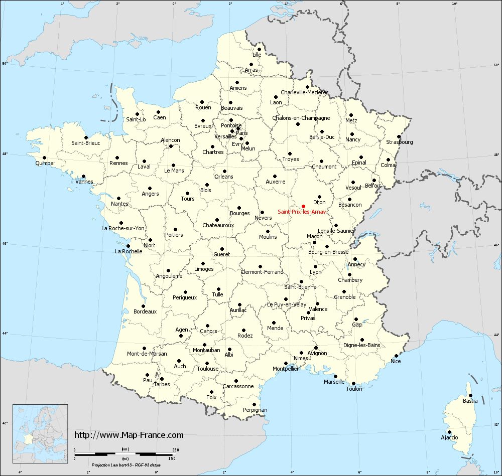
Map of Saint-Prix-lès-Arnay with departments and prefectures
|
Voir la carte of Saint-Prix-lès-Arnay en grand format (1000 x 949)
|
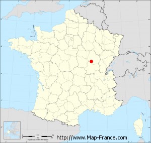
Here is the localization of Saint-Prix-lès-Arnay on the France map of departments in Lambert 93 coordinates. The city of Saint-Prix-lès-Arnay is shown on the map by a red point.
The town of Saint-Prix-lès-Arnay is located in the department of Côte-d'Or of the french region Bourgogne.
The latitude of Saint-Prix-lès-Arnay is 47.115 degrees North.
The longitude of Saint-Prix-lès-Arnay is 4.496 degrees East.
Here the distance between Saint-Prix-lès-Arnay and the biggest cities of France:
Distances are calculated as the crow flies (orthodromic distance)
Distance between Saint-Prix-lès-Arnay and Paris : 251.37 kilometers
Distance between Saint-Prix-lès-Arnay and Marseille : 429.97 kilometers
Distance between Saint-Prix-lès-Arnay and Lyon : 152.76 kilometers
Distance between Saint-Prix-lès-Arnay and Toulouse : 457.12 kilometers
Distance between Saint-Prix-lès-Arnay and Nice : 435.81 kilometers
Distance between Saint-Prix-lès-Arnay and Nantes : 457.01 kilometers
Distance between Saint-Prix-lès-Arnay and Strasbourg : 292.79 kilometers
Distance between Saint-Prix-lès-Arnay and Montpellier : 392.53 kilometers
Distance between Saint-Prix-lès-Arnay and Bordeaux : 465.68 kilometers
Distance between Saint-Prix-lès-Arnay and Lille : 404.48 kilometers
Distance between Saint-Prix-lès-Arnay and Rennes : 475.44 kilometers
Distance between Saint-Prix-lès-Arnay and Reims : 240.61 kilometers
Clic here to see the map of Saint-Prix-lès-Arnay in full screen:
Saint-Prix-lès-Arnay on the map of french departments
|
This administrative map of Saint-Prix-lès-Arnay is reusable and modifiable by making a link to this page of the Map-France.com website or by using the given code :
|
Administrative base maps of Saint-Prix-lès-Arnay
|

See the administrative base map of Saint-Prix-lès-Arnay in full screen (1000 x 949)
|
Small administrative base map of Saint-Prix-lès-Arnay
|
This base map administrative of Saint-Prix-lès-Arnay is reusable and modifiable by making a link to this page of the Map-France.com website or by using the given code :
|
 French Version : http://www.cartesfrance.fr