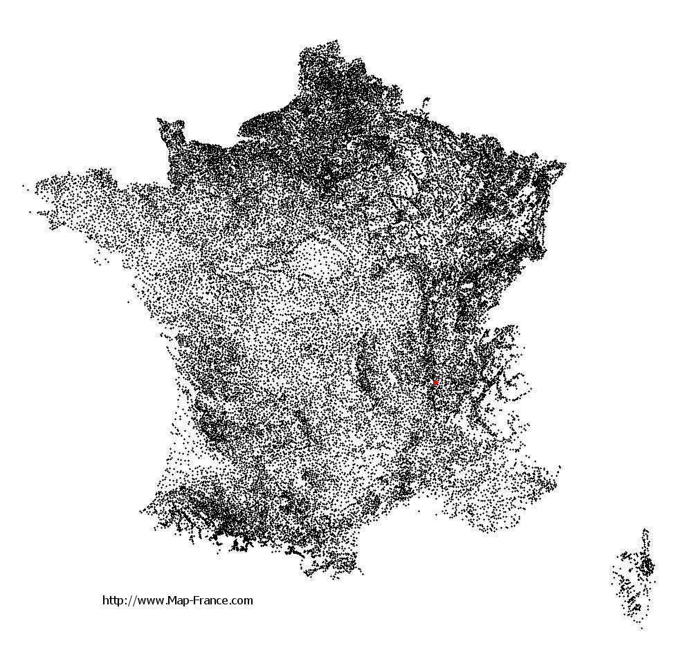
Saint-Romain-en-Gal on the relief France map in Lambert 93 coordinates
|

See the map of Saint-Romain-en-Gal in full screen (1000 x 949)
|
At left, here is the location of Saint-Romain-en-Gal on the relief France map in Lambert 93 coordinates.
Here are the altitudes of Saint-Romain-en-Gal :
- Town hall altitude of Saint-Romain-en-Gal is 160 meters
- Minimum altitude of Saint-Romain-en-Gal is 140 meters
- Maximum altitude of Saint-Romain-en-Gal is 528 meters
- Medium altitude of Saint-Romain-en-Gal is 334 meters
Here are the altitudes of Lyon, prefecture of Rhône department:
- Town hall altitude of Lyon is 166 meters
- Minimum altitude of Lyon is 162 meters
- Maximum altitude of Lyon is 312 meters
- Medium altitude of Lyon is 237 meters
Here are the altitudes of the french biggest cities:
Paris : 33 meters
Marseille : 20 meters
Lyon : 237 meters
Toulouse : 146 meters
Nice : 10 meters
Nantes : 20 meters
Strasbourg : 144 meters
Montpellier : 35 meters
Bordeaux : 16 meters
Lille : 20 meters
Rennes : 35 meters
Reims : 83 meters
Click here for the terrain map of Saint-Romain-en-Gal in full screen:
Relief map of Saint-Romain-en-Gal
|
This relief map of Saint-Romain-en-Gal is reusable and modifiable by making a link to this page of the Map-France.com website or by using the given code :
|
Terrain base map of Saint-Romain-en-Gal
|

See the terrain base map of Saint-Romain-en-Gal in full screen (1000 x 949)
|
Small relief base map of Saint-Romain-en-Gal

|
This base map of Saint-Romain-en-Gal is reusable and modifiable by making a link to this page of the Map-France.com website or by using the given code :
|
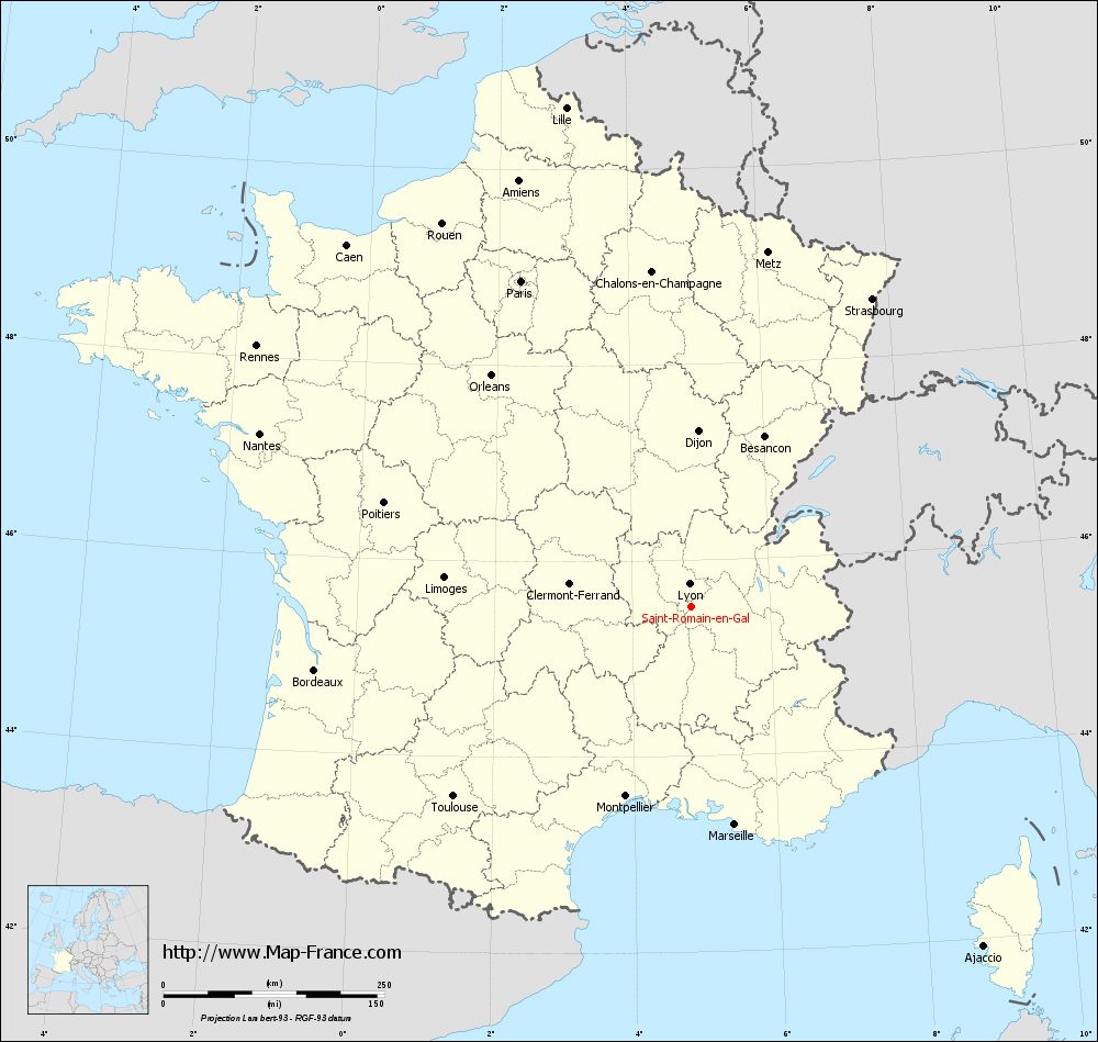
Map of Saint-Romain-en-Gal with regions and prefectures
|
View the map of Saint-Romain-en-Gal in full screen (1000 x 949)
|
You will find the location of Saint-Romain-en-Gal on the map of France of regions in Lambert 93 coordinates. The town of Saint-Romain-en-Gal is located in the department of Rhône of the french region Rhône-Alpes.
Geographical sexagesimal coordinates / GPS (WGS84):
Latitude: 45° 31' 57'' North
Longitude: 04° 51' 43'' East
Geographical decimal coordinates :
Latitude: 45.535 degrees (45.535° North)
Longitude: 4.857 degrees (4.857° East)
Lambert 93 coordinates :
X: 8 453 hectometers
Y: 64 943 hectometers
Lambert 2 coordinates :
X: 7 973 hectometers
Y: 20 623 hectometers
Below, the geographical coordinates of Lyon, prefecture of the Rhône department:
Geographical sexagesimal coordinates / GPS (WGS84):
Latitude: 45° 45' 32'' North
Longitude: 04° 50' 29'' East
Geographical decimal coordinates :
Latitude: 45.76 degrees (45.76° North)
Longitude: 4.835 degrees (4.835° East)
Lambert 93 coordinates :
X: 8 431 hectometers
Y: 65 194 hectometers
Lambert 2 coordinates :
X: 7 948 hectometers
Y: 20 874 hectometers
|
This map of Saint-Romain-en-Gal is reusable and modifiable by making a link to this page of the Map-France.com website or by using the given code :
|
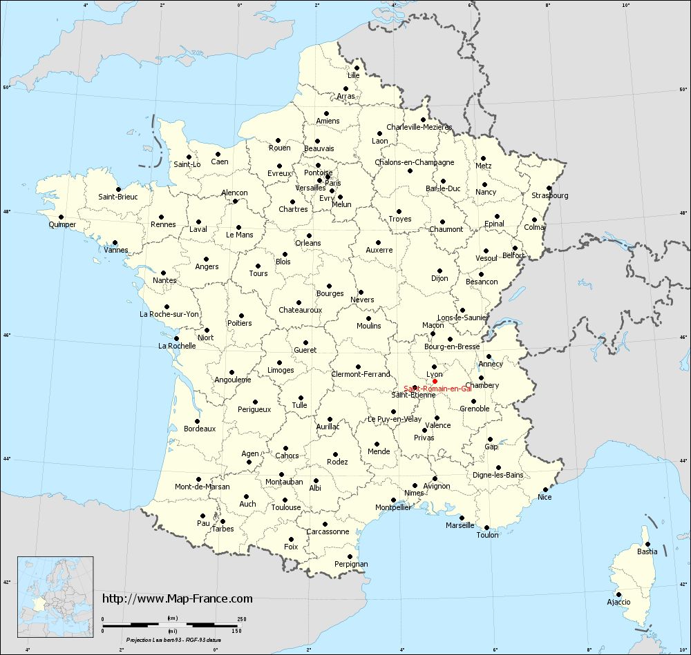
Map of Saint-Romain-en-Gal with departments and prefectures
|
Voir la carte of Saint-Romain-en-Gal en grand format (1000 x 949)
|
Here is the localization of Saint-Romain-en-Gal on the France map of departments in Lambert 93 coordinates. The city of Saint-Romain-en-Gal is shown on the map by a red point.
The town of Saint-Romain-en-Gal is located in the department of Rhône of the french region Rhône-Alpes.
The latitude of Saint-Romain-en-Gal is 45.535 degrees North.
The longitude of Saint-Romain-en-Gal is 4.857 degrees East.
Here the distance between Saint-Romain-en-Gal and the biggest cities of France:
Distances are calculated as the crow flies (orthodromic distance)
Distance between Saint-Romain-en-Gal and Paris : 415.27 kilometers
Distance between Saint-Romain-en-Gal and Marseille : 252.27 kilometers
Distance between Saint-Romain-en-Gal and Lyon : 25.06 kilometers
Distance between Saint-Romain-en-Gal and Toulouse : 344.78 kilometers
Distance between Saint-Romain-en-Gal and Nice : 278.3 kilometers
Distance between Saint-Romain-en-Gal and Nantes : 525.63 kilometers
Distance between Saint-Romain-en-Gal and Strasbourg : 403.62 kilometers
Distance between Saint-Romain-en-Gal and Montpellier : 227.66 kilometers
Distance between Saint-Romain-en-Gal and Bordeaux : 432.12 kilometers
Distance between Saint-Romain-en-Gal and Lille : 581.62 kilometers
Distance between Saint-Romain-en-Gal and Rennes : 573.06 kilometers
Distance between Saint-Romain-en-Gal and Reims : 418.31 kilometers
Clic here to see the map of Saint-Romain-en-Gal in full screen:
Saint-Romain-en-Gal on the map of french departments
|
This administrative map of Saint-Romain-en-Gal is reusable and modifiable by making a link to this page of the Map-France.com website or by using the given code :
|
Administrative base maps of Saint-Romain-en-Gal
|

See the administrative base map of Saint-Romain-en-Gal in full screen (1000 x 949)
|
Small administrative base map of Saint-Romain-en-Gal
|
This base map administrative of Saint-Romain-en-Gal is reusable and modifiable by making a link to this page of the Map-France.com website or by using the given code :
|
 French Version : http://www.cartesfrance.fr