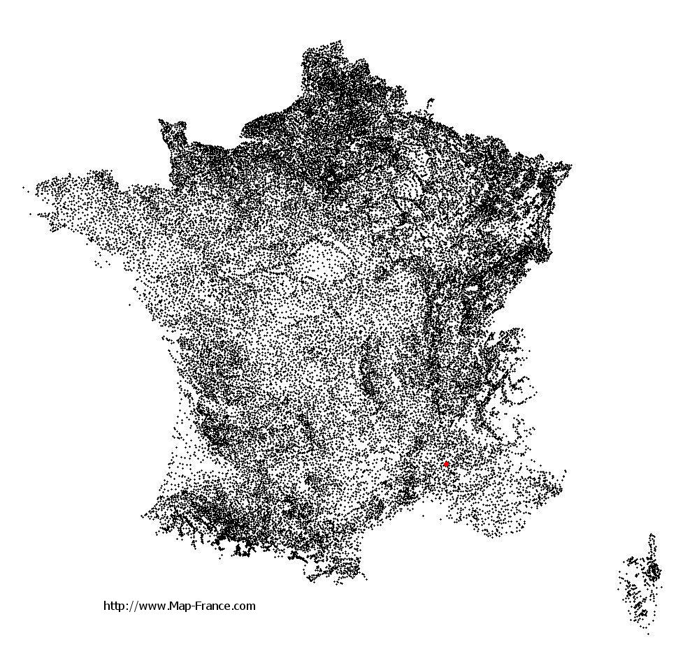
Saint-Roman-de-Malegarde on the relief France map in Lambert 93 coordinates
|

See the map of Saint-Roman-de-Malegarde in full screen (1000 x 949)
|
At left, here is the location of Saint-Roman-de-Malegarde on the relief France map in Lambert 93 coordinates.
Here are the altitudes of Saint-Roman-de-Malegarde :
- Town hall altitude of Saint-Roman-de-Malegarde is 160 meters
- Minimum altitude of Saint-Roman-de-Malegarde is 125 meters
- Maximum altitude of Saint-Roman-de-Malegarde is 366 meters
- Medium altitude of Saint-Roman-de-Malegarde is 246 meters
Here are the altitudes of Avignon, prefecture of Vaucluse department:
- Town hall altitude of Avignon is 19 meters
- Minimum altitude of Avignon is 10 meters
- Maximum altitude of Avignon is 122 meters
- Medium altitude of Avignon is 66 meters
Here are the altitudes of the french biggest cities:
Paris : 33 meters
Marseille : 20 meters
Lyon : 237 meters
Toulouse : 146 meters
Nice : 10 meters
Nantes : 20 meters
Strasbourg : 144 meters
Montpellier : 35 meters
Bordeaux : 16 meters
Lille : 20 meters
Rennes : 35 meters
Reims : 83 meters
Click here for the terrain map of Saint-Roman-de-Malegarde in full screen:
Relief map of Saint-Roman-de-Malegarde
|
This relief map of Saint-Roman-de-Malegarde is reusable and modifiable by making a link to this page of the Map-France.com website or by using the given code :
|
Terrain base map of Saint-Roman-de-Malegarde
|

See the terrain base map of Saint-Roman-de-Malegarde in full screen (1000 x 949)
|
Small relief base map of Saint-Roman-de-Malegarde

|
This base map of Saint-Roman-de-Malegarde is reusable and modifiable by making a link to this page of the Map-France.com website or by using the given code :
|
Map of Saint-Roman-de-Malegarde with regions and prefectures
|
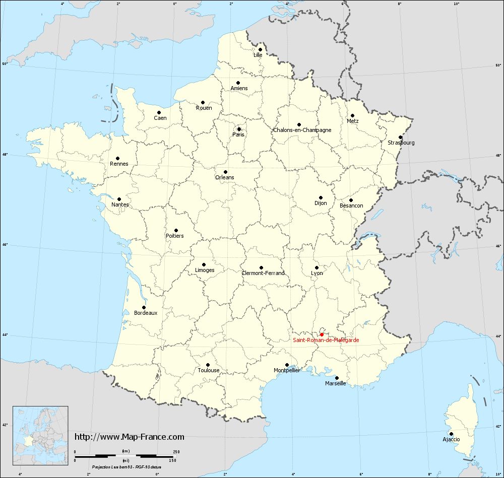
View the map of Saint-Roman-de-Malegarde in full screen (1000 x 949)
|
You will find the location of Saint-Roman-de-Malegarde on the map of France of regions in Lambert 93 coordinates. The town of Saint-Roman-de-Malegarde is located in the department of Vaucluse of the french region Provence-Alpes-Côte d'Azur.
Geographical sexagesimal coordinates / GPS (WGS84):
Latitude: 44° 16' 12'' North
Longitude: 04° 57' 48'' East
Geographical decimal coordinates :
Latitude: 44.271 degrees (44.271° North)
Longitude: 4.965 degrees (4.965° East)
Lambert 93 coordinates :
X: 8 567 hectometers
Y: 63 543 hectometers
Lambert 2 coordinates :
X: 8 099 hectometers
Y: 19 223 hectometers
Below, the geographical coordinates of Avignon, prefecture of the Vaucluse department:
Geographical sexagesimal coordinates / GPS (WGS84):
Latitude: 43° 56' 55'' North
Longitude: 04° 48' 30'' East
Geographical decimal coordinates :
Latitude: 43.946 degrees (43.946° North)
Longitude: 4.81 degrees (4.81° East)
Lambert 93 coordinates :
X: 8 452 hectometers
Y: 63 183 hectometers
Lambert 2 coordinates :
X: 7 986 hectometers
Y: 18 861 hectometers
|
This map of Saint-Roman-de-Malegarde is reusable and modifiable by making a link to this page of the Map-France.com website or by using the given code :
|
Map of Saint-Roman-de-Malegarde with departments and prefectures
|
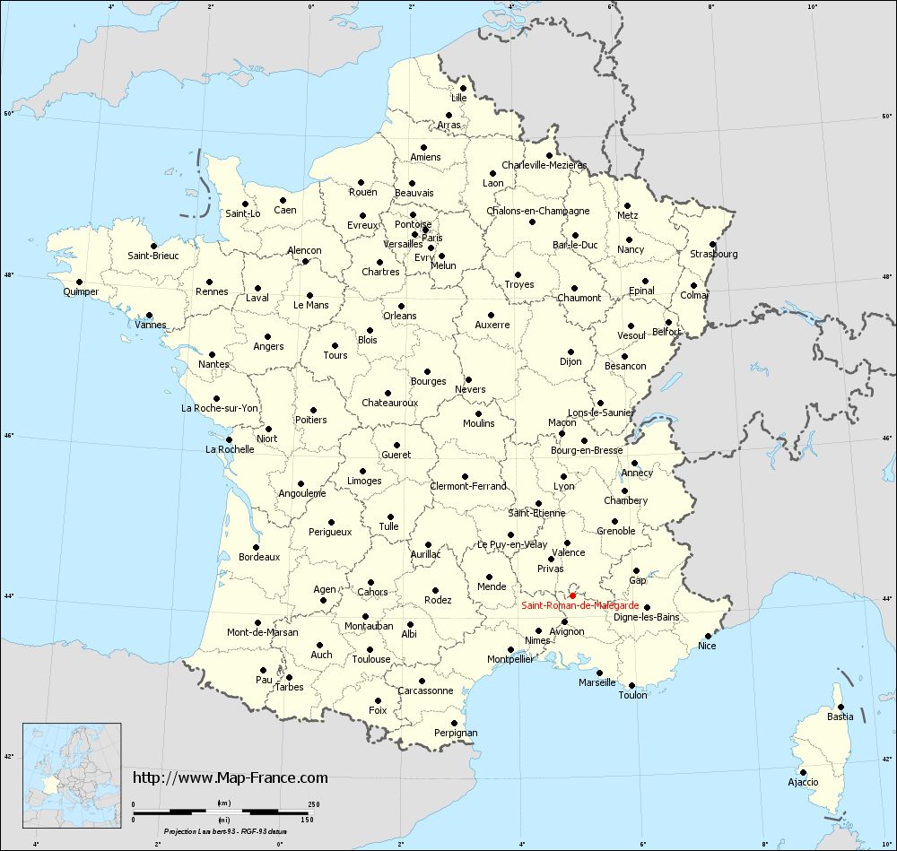
Voir la carte of Saint-Roman-de-Malegarde en grand format (1000 x 949)
|
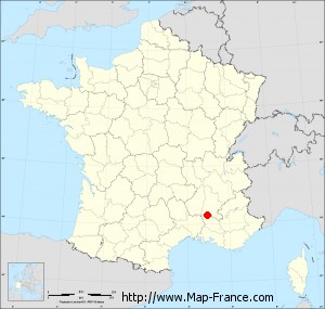
Here is the localization of Saint-Roman-de-Malegarde on the France map of departments in Lambert 93 coordinates. The city of Saint-Roman-de-Malegarde is shown on the map by a red point.
The town of Saint-Roman-de-Malegarde is located in the department of Vaucluse of the french region Provence-Alpes-Côte d'Azur.
The latitude of Saint-Roman-de-Malegarde is 44.271 degrees North.
The longitude of Saint-Roman-de-Malegarde is 4.965 degrees East.
Here the distance between Saint-Roman-de-Malegarde and the biggest cities of France:
Distances are calculated as the crow flies (orthodromic distance)
Distance between Saint-Roman-de-Malegarde and Paris : 547.74 kilometers
Distance between Saint-Roman-de-Malegarde and Marseille : 113.61 kilometers
Distance between Saint-Roman-de-Malegarde and Lyon : 165.75 kilometers
Distance between Saint-Roman-de-Malegarde and Toulouse : 290.92 kilometers
Distance between Saint-Roman-de-Malegarde and Nice : 194.03 kilometers
Distance between Saint-Roman-de-Malegarde and Nantes : 602.02 kilometers
Distance between Saint-Roman-de-Malegarde and Strasbourg : 524.66 kilometers
Distance between Saint-Roman-de-Malegarde and Montpellier : 114.14 kilometers
Distance between Saint-Roman-de-Malegarde and Bordeaux : 443.11 kilometers
Distance between Saint-Roman-de-Malegarde and Lille : 720.85 kilometers
Distance between Saint-Roman-de-Malegarde and Rennes : 665.17 kilometers
Distance between Saint-Roman-de-Malegarde and Reims : 558.64 kilometers
Clic here to see the map of Saint-Roman-de-Malegarde in full screen:
Saint-Roman-de-Malegarde on the map of french departments
|
This administrative map of Saint-Roman-de-Malegarde is reusable and modifiable by making a link to this page of the Map-France.com website or by using the given code :
|
Administrative base maps of Saint-Roman-de-Malegarde
|
See the administrative base map of Saint-Roman-de-Malegarde in full screen (1000 x 949)
|
Small administrative base map of Saint-Roman-de-Malegarde
|
This base map administrative of Saint-Roman-de-Malegarde is reusable and modifiable by making a link to this page of the Map-France.com website or by using the given code :
|
 French Version : http://www.cartesfrance.fr