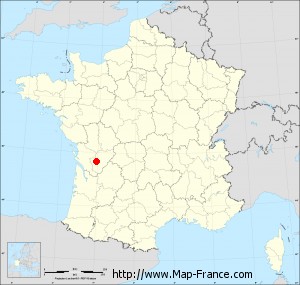
Map of Saint-Simon with regions and prefectures
|
View the map of Saint-Simon in full screen (1000 x 949)
|
You will find the location of Saint-Simon on the map of France of regions in Lambert 93 coordinates. The town of Saint-Simon is located in the department of Charente of the french region Poitou-Charentes.
Geographical sexagesimal coordinates / GPS (WGS84):
Latitude: 45° 38' 59'' North
Longitude: 00° 04' 34'' West
Geographical decimal coordinates :
Latitude: 45.651 degrees (45.651° North)
Longitude: -0.076 degrees (0.076° West)
Lambert 93 coordinates :
X: 4 605 hectometers
Y: 65 102 hectometers
Lambert 2 coordinates :
X: 4 119 hectometers
Y: 20 750 hectometers
Below, the geographical coordinates of Angoulême, prefecture of the Charente department:
Geographical sexagesimal coordinates / GPS (WGS84):
Latitude: 45° 38' 58'' North
Longitude: 00° 09' 34'' East
Geographical decimal coordinates :
Latitude: 45.653 degrees (45.653° North)
Longitude: 0.155 degrees (0.155° East)
Lambert 93 coordinates :
X: 4 788 hectometers
Y: 65 095 hectometers
Lambert 2 coordinates :
X: 4 303 hectometers
Y: 20 745 hectometers
|
This map of Saint-Simon is reusable and modifiable by making a link to this page of the Map-France.com website or by using the given code :
|
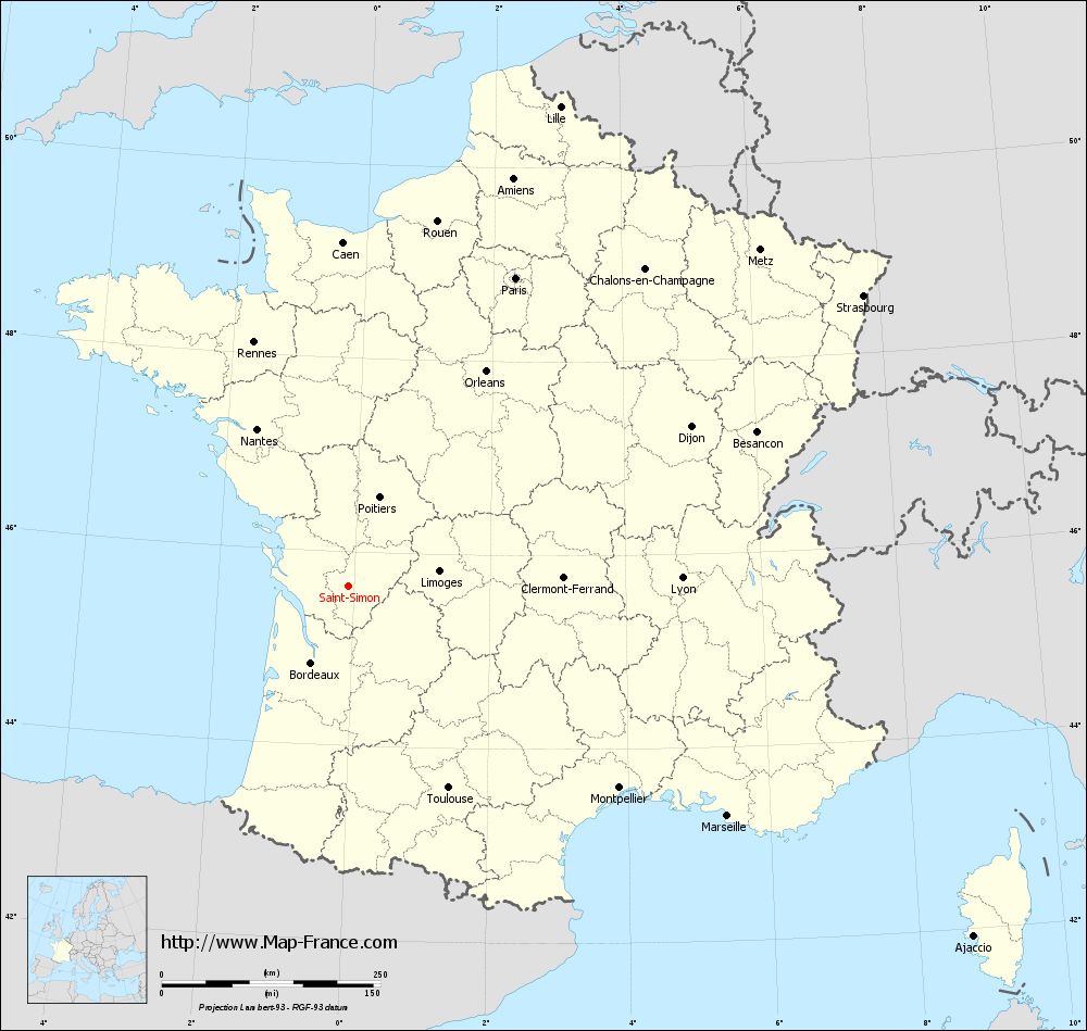
Map of Saint-Simon with departments and prefectures
|
Voir la carte of Saint-Simon en grand format (1000 x 949)
|
Here is the localization of Saint-Simon on the France map of departments in Lambert 93 coordinates. The city of Saint-Simon is shown on the map by a red point.
The town of Saint-Simon is located in the department of Charente of the french region Poitou-Charentes.
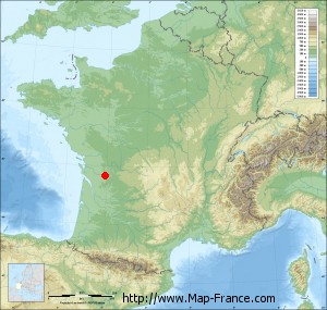
The latitude of Saint-Simon is 45.651 degrees North.
The longitude of Saint-Simon is 0.076 degrees West.
Here the distance between Saint-Simon and the biggest cities of France:
Distances are calculated as the crow flies (orthodromic distance)
Distance between Saint-Simon and Paris : 400.67 kilometers
Distance between Saint-Simon and Marseille : 506.59 kilometers
Distance between Saint-Simon and Lyon : 381.18 kilometers
Distance between Saint-Simon and Toulouse : 257.81 kilometers
Distance between Saint-Simon and Nice : 618.42 kilometers
Distance between Saint-Simon and Nantes : 207.78 kilometers
Distance between Saint-Simon and Strasbourg : 675.48 kilometers
Distance between Saint-Simon and Montpellier : 385.95 kilometers
Distance between Saint-Simon and Bordeaux : 97.83 kilometers
Distance between Saint-Simon and Lille : 599.35 kilometers
Distance between Saint-Simon and Rennes : 298.94 kilometers
Distance between Saint-Simon and Reims : 505.68 kilometers
Clic here to see the map of Saint-Simon in full screen:
Saint-Simon on the map of french departments
|
This administrative map of Saint-Simon is reusable and modifiable by making a link to this page of the Map-France.com website or by using the given code :
|
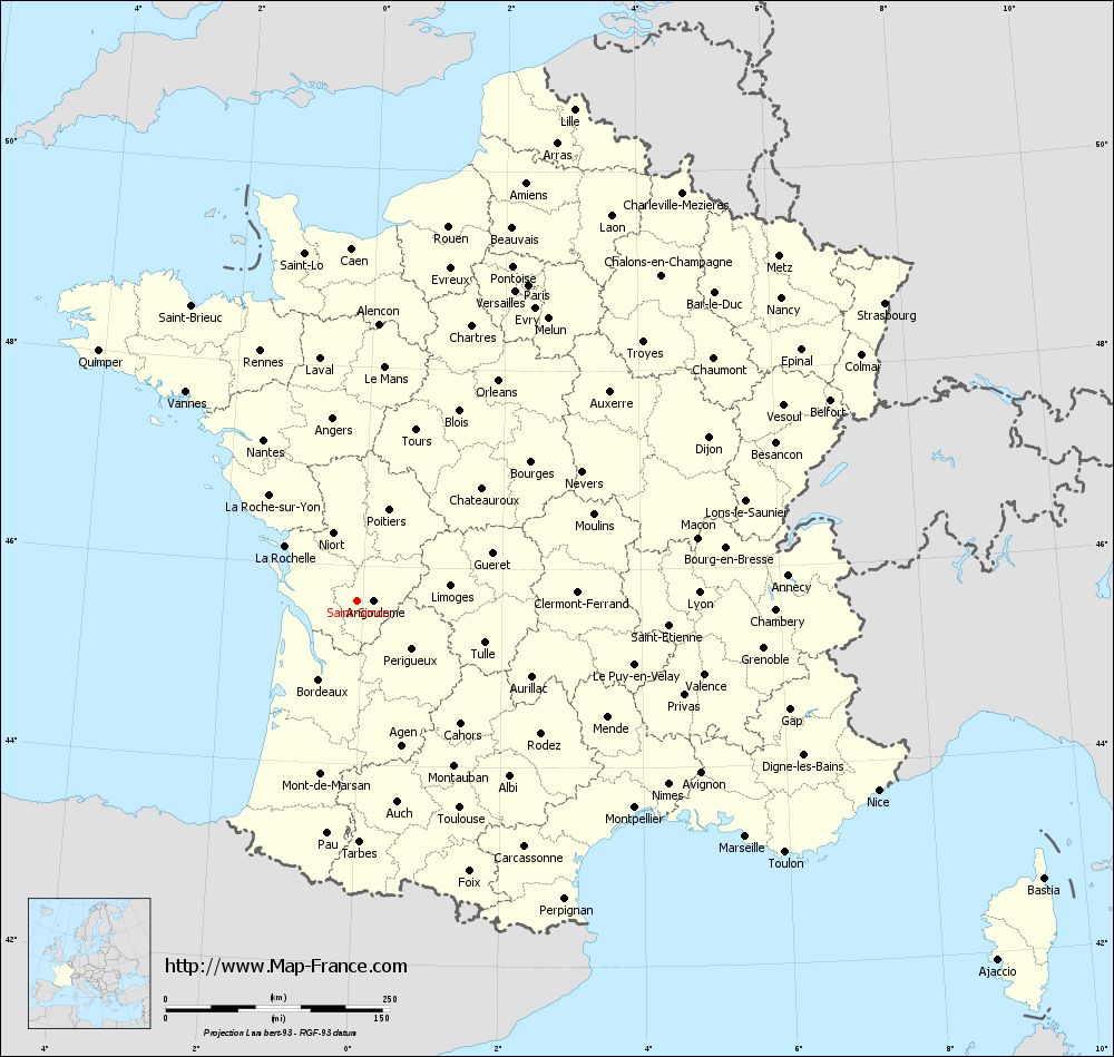
Administrative base maps of Saint-Simon
|

See the administrative base map of Saint-Simon in full screen (1000 x 949)
|
Small administrative base map of Saint-Simon
|
This base map administrative of Saint-Simon is reusable and modifiable by making a link to this page of the Map-France.com website or by using the given code :
|
 French Version : http://www.cartesfrance.fr