Map of France

Sainte-Anne-sur-Gervonde photos


Find a town, a zip code,
a department, a region... in France
I like Map-France.com !


Sainte-Anne-sur-Gervonde pictures


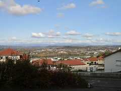
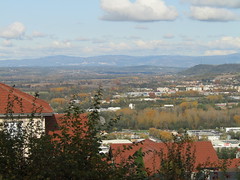
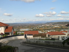
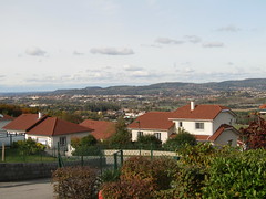
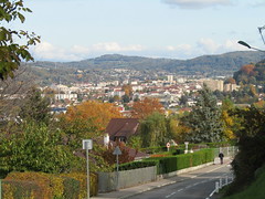
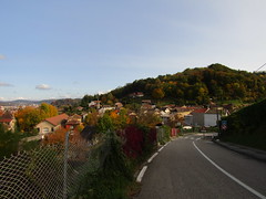
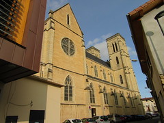
Here are the photos of the town of Sainte-Anne-sur-Gervonde and nearby towns. Sainte-Anne-sur-Gervonde is located in the department of Isère in the region of Rhône-Alpes. You will find the satellite map of Sainte-Anne-sur-Gervonde under these photos.

To see photos of nearby towns of Sainte-Anne-sur-Gervonde, you can try the following links :
   - Photo of Châtonnay (38440) : town located at 2.48 km
   - Photo of Meyrieu-les-Étangs (38440) : town located at 3.14 km
   - Photo of Culin (38300) : town located at 3.23 km
   - Photo of Tramolé (38300) : town located at 3.38 km
   - Photo of Saint-Agnin-sur-Bion (38300) : town located at 4.77 km
   - Photo of Eclose (38300) : town located at 5.30 km
   - Photo of Crachier (38300) : town located at 5.50 km
   - Photo of Badinières (38300) : town located at 5.55 km
   - Photo of Lieudieu (38440) : town located at 6.09 km
   - Photo of Artas (38440) : town located at 6.68 km
   - Photo of Les Éparres (38300) : town located at 6.91 km
   - Photo of Chèzeneuve (38300) : town located at 6.95 km

 - photos of the department prefecture of Isère : photos of Grenoble
 - pictures of others cities of Isère : Isère


To see Sainte-Anne-sur-Gervonde from the sky, here is the satellite map of the town of Sainte-Anne-sur-Gervonde : Sainte-Anne-sur-Gervonde map.

I like Sainte-Anne-sur-Gervonde !


Photos of the town of Sainte-Anne-sur-Gervonde

These photos taken near the town of Sainte-Anne-sur-Gervonde can be shown in full screen clicking on the thumbnails. Photos are copyrighted by their owners.

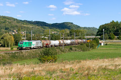
BB 75414 - 439772 Grenoble > Sibelin - Photo of Sainte-Anne-sur-Gervonde
BB 75414 - 439772 Grenoble > Sibelin

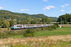
BB 22398 - 18556 Chambéry-Challes-les-Eaux > Lyon-Part-Dieu - Photo of Sainte-Anne-sur-Gervonde
BB 22398 - 18556 Chambéry-Challes-les-Eaux > Lyon-Part-Dieu

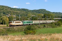
BB 25188 + CC 6558 - 801166 Chambéry-Challes-les-Eaux > Ambérieu - Photo of Sainte-Anne-sur-Gervonde
BB 25188 + CC 6558 - 801166 Chambéry-Challes-les-Eaux > Ambérieu

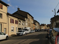
202010_0065 - Photo of Sainte-Anne-sur-Gervonde
202010_0065

202010_0066 - Photo of Sainte-Anne-sur-Gervonde
202010_0066

202010_0070 - Photo of Sainte-Anne-sur-Gervonde
202010_0070

202010_0072 - Photo of Sainte-Anne-sur-Gervonde
202010_0072

202010_0078 - Photo of Sainte-Anne-sur-Gervonde
202010_0078

202010_0079 - Photo of Sainte-Anne-sur-Gervonde
202010_0079

202010_0080 - Photo of Sainte-Anne-sur-Gervonde
202010_0080

202010_0067 - 202010_0069 - Photo of Sainte-Anne-sur-Gervonde
202010_0067 - 202010_0069

202010_0073 - 202010_0075 - Photo of Sainte-Anne-sur-Gervonde
202010_0073 - 202010_0075

202010_0071 - Photo of Sainte-Anne-sur-Gervonde
202010_0071

202010_0081 - Photo of Sainte-Anne-sur-Gervonde
202010_0081


Sainte-Anne-sur-Gervonde from the sky


Old photos of the town of Sainte-Anne-sur-Gervonde

These photos taken near the town of Sainte-Anne-sur-Gervonde can be shown in full screen clicking on the thumbnails. Photos are copyrighted by their owners.


Other maps, hotels and towns in france


Find another town, zip code, department, region, ...


Quick links Sainte-Anne-sur-Gervonde :


Back to the menus Map of France :


Make a link to this page of Sainte-Anne-sur-Gervonde with the following code :


Map of France | Regions | Departments | Cities | Partners | Terms | Contact