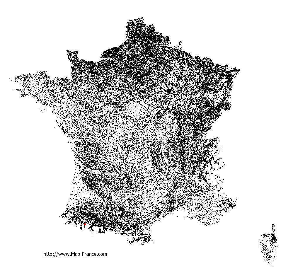
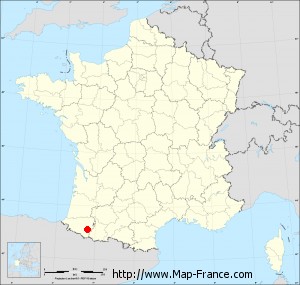
Sainte-Colome on the relief France map in Lambert 93 coordinates
|

See the map of Sainte-Colome in full screen (1000 x 949)
|
At left, here is the location of Sainte-Colome on the relief France map in Lambert 93 coordinates.
Here are the altitudes of Sainte-Colome :
- Town hall altitude of Sainte-Colome is 540 meters
- Minimum altitude of Sainte-Colome is 347 meters
- Maximum altitude of Sainte-Colome is 618 meters
- Medium altitude of Sainte-Colome is 483 meters
Here are the altitudes of Pau, prefecture of Pyrénées-Atlantiques department:
- Town hall altitude of Pau is 210 meters
- Minimum altitude of Pau is 165 meters
- Maximum altitude of Pau is 245 meters
- Medium altitude of Pau is 205 meters
Here are the altitudes of the french biggest cities:
Paris : 33 meters
Marseille : 20 meters
Lyon : 237 meters
Toulouse : 146 meters
Nice : 10 meters
Nantes : 20 meters
Strasbourg : 144 meters
Montpellier : 35 meters
Bordeaux : 16 meters
Lille : 20 meters
Rennes : 35 meters
Reims : 83 meters
Click here for the terrain map of Sainte-Colome in full screen:
Relief map of Sainte-Colome
|
This relief map of Sainte-Colome is reusable and modifiable by making a link to this page of the Map-France.com website or by using the given code :
|
Terrain base map of Sainte-Colome
|

See the terrain base map of Sainte-Colome in full screen (1000 x 949)
|
Small relief base map of Sainte-Colome
|
This base map of Sainte-Colome is reusable and modifiable by making a link to this page of the Map-France.com website or by using the given code :
|
Map of Sainte-Colome with regions and prefectures
|
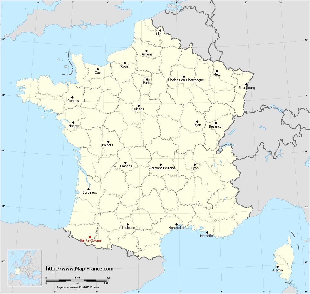
View the map of Sainte-Colome in full screen (1000 x 949)
|
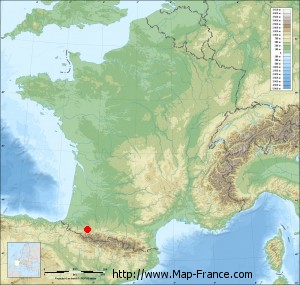
You will find the location of Sainte-Colome on the map of France of regions in Lambert 93 coordinates. The town of Sainte-Colome is located in the department of Pyrénées-Atlantiques of the french region Aquitaine.
Geographical sexagesimal coordinates / GPS (WGS84):
Latitude: 43° 06' 09'' North
Longitude: 00° 24' 11'' West
Geographical decimal coordinates :
Latitude: 43.103 degrees (43.103° North)
Longitude: -0.403 degrees (0.403° West)
Lambert 93 coordinates :
X: 4 228 hectometers
Y: 62 285 hectometers
Lambert 2 coordinates :
X: 3 766 hectometers
Y: 17 928 hectometers
Below, the geographical coordinates of Pau, prefecture of the Pyrénées-Atlantiques department:
Geographical sexagesimal coordinates / GPS (WGS84):
Latitude: 43° 18' 03'' North
Longitude: 00° 22' 12'' West
Geographical decimal coordinates :
Latitude: 43.303 degrees (43.303° North)
Longitude: -0.367 degrees (0.367° West)
Lambert 93 coordinates :
X: 4 265 hectometers
Y: 62 505 hectometers
Lambert 2 coordinates :
X: 3 801 hectometers
Y: 18 147 hectometers
|
This map of Sainte-Colome is reusable and modifiable by making a link to this page of the Map-France.com website or by using the given code :
|
Map of Sainte-Colome with departments and prefectures
|
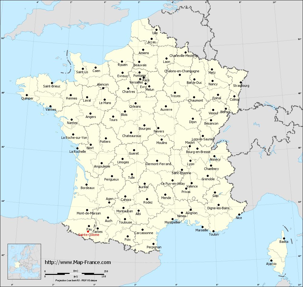
Voir la carte of Sainte-Colome en grand format (1000 x 949)
|
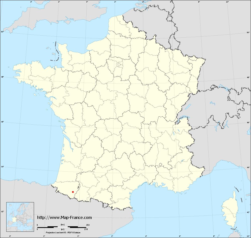
Here is the localization of Sainte-Colome on the France map of departments in Lambert 93 coordinates. The city of Sainte-Colome is shown on the map by a red point.
The town of Sainte-Colome is located in the department of Pyrénées-Atlantiques of the french region Aquitaine.
The latitude of Sainte-Colome is 43.103 degrees North.
The longitude of Sainte-Colome is 0.403 degrees West.
Here the distance between Sainte-Colome and the biggest cities of France:
Distances are calculated as the crow flies (orthodromic distance)
Distance between Sainte-Colome and Paris : 673.91 kilometers
Distance between Sainte-Colome and Marseille : 470.35 kilometers
Distance between Sainte-Colome and Lyon : 509.56 kilometers
Distance between Sainte-Colome and Toulouse : 159.57 kilometers
Distance between Sainte-Colome and Nice : 622.12 kilometers
Distance between Sainte-Colome and Nantes : 466.15 kilometers
Distance between Sainte-Colome and Strasbourg : 876.4 kilometers
Distance between Sainte-Colome and Montpellier : 350.02 kilometers
Distance between Sainte-Colome and Bordeaux : 193.84 kilometers
Distance between Sainte-Colome and Lille : 875.91 kilometers
Distance between Sainte-Colome and Rennes : 564.86 kilometers
Distance between Sainte-Colome and Reims : 763.91 kilometers
Clic here to see the map of Sainte-Colome in full screen:
Sainte-Colome on the map of french departments
|
This administrative map of Sainte-Colome is reusable and modifiable by making a link to this page of the Map-France.com website or by using the given code :
|
Administrative base maps of Sainte-Colome
|
See the administrative base map of Sainte-Colome in full screen (1000 x 949)
|
Small administrative base map of Sainte-Colome
|
This base map administrative of Sainte-Colome is reusable and modifiable by making a link to this page of the Map-France.com website or by using the given code :
|
 French Version : http://www.cartesfrance.fr