|
|
|
|
|
|
Sainte-Eulalie pictures
|
|
|
|
Photos of the town of Sainte-Eulalie
|
These photos taken near the town of Sainte-Eulalie can be shown in full screen clicking on the thumbnails. Photos are copyrighted by their owners.
| | |

7em competition 2024, La Pastourelle, Salers (Cantal) 31km, 19 mai 2024, 4,h30, 20 660/1256, 17/43 categorie
|

7em competition 2024, La Pastourelle, Salers (Cantal) 31km, 19 mai 2024, 4,h30, 20 660/1256, 17/43 categorie
|
| |
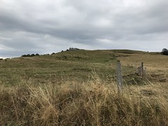
Anglards-de-Salers, Cantal, France
|

Salers, Cantal, France
|
| |

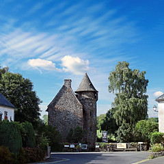
Fontanges
|
Fontanges
|
| |

Fontanges
|
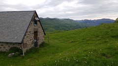
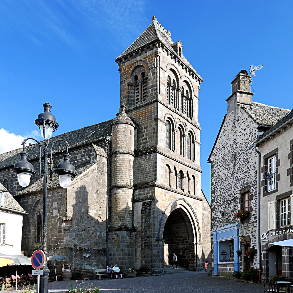
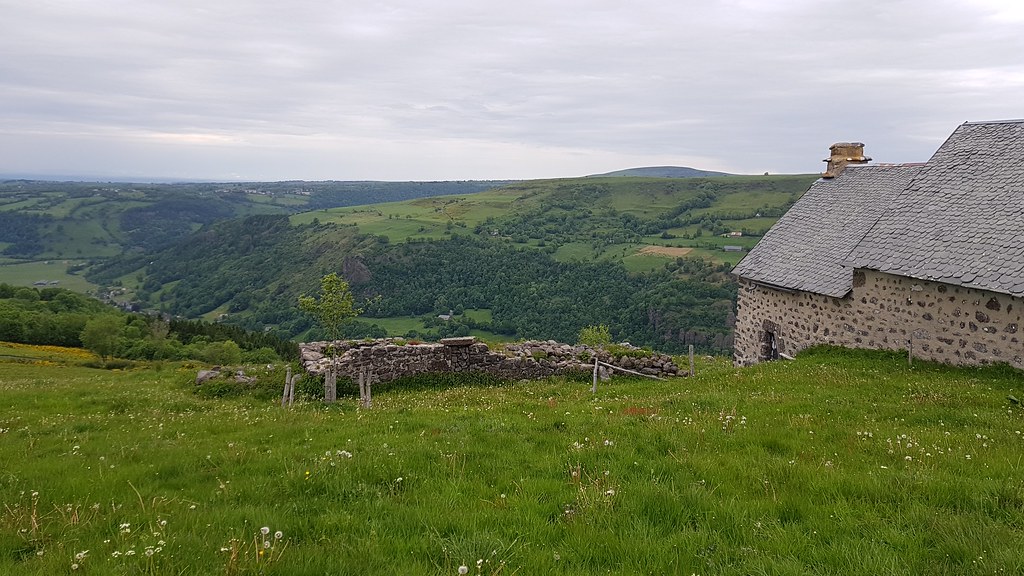
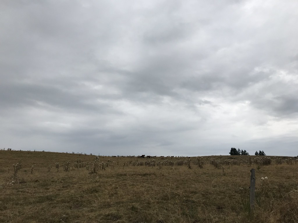
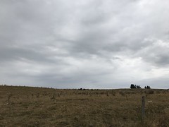
Photo of Sainte-Eulalie
|
| |
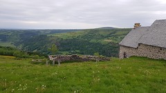
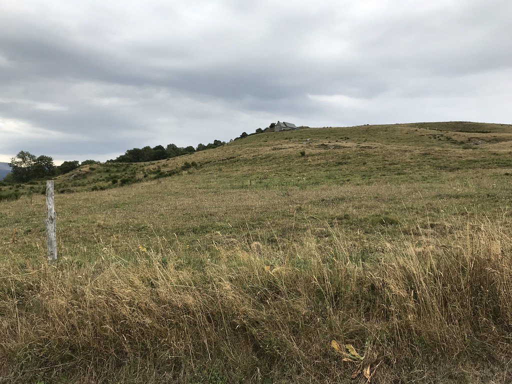
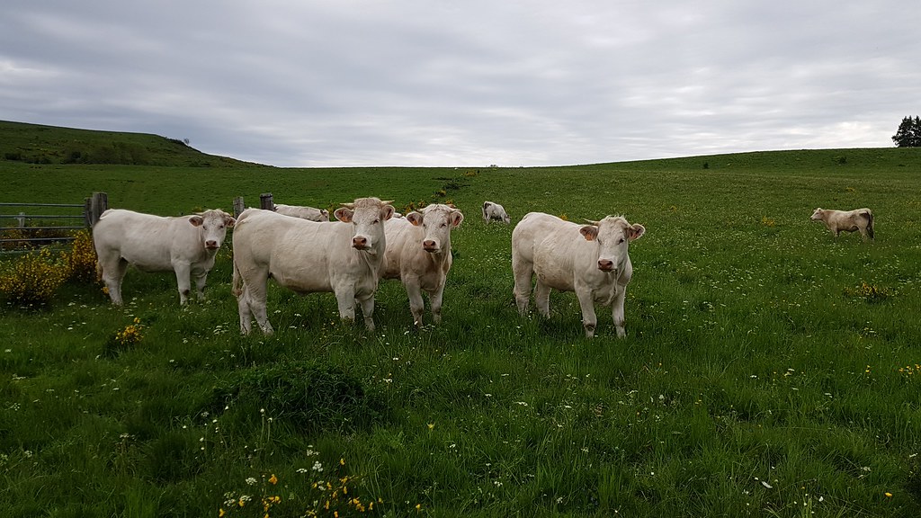
Photo of Sainte-Eulalie
|
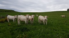
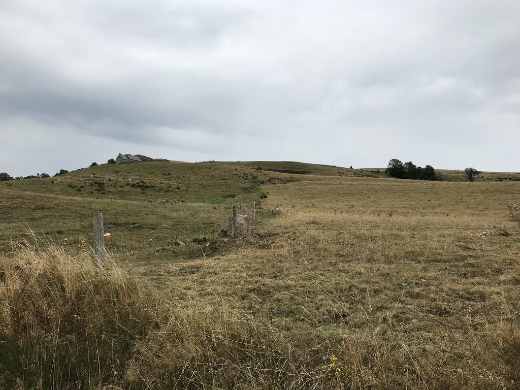
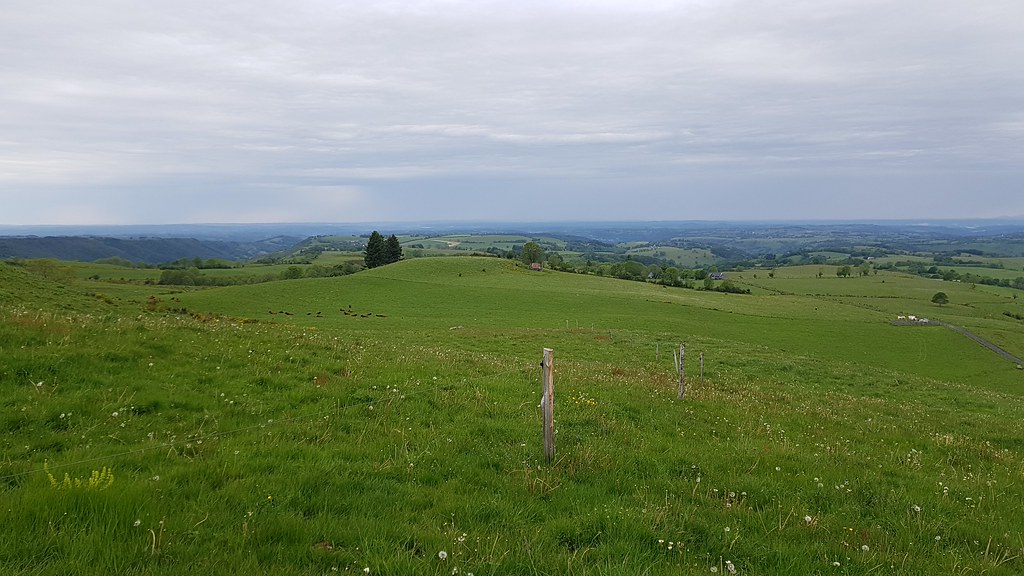
Photo of Sainte-Eulalie
|
| |
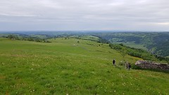
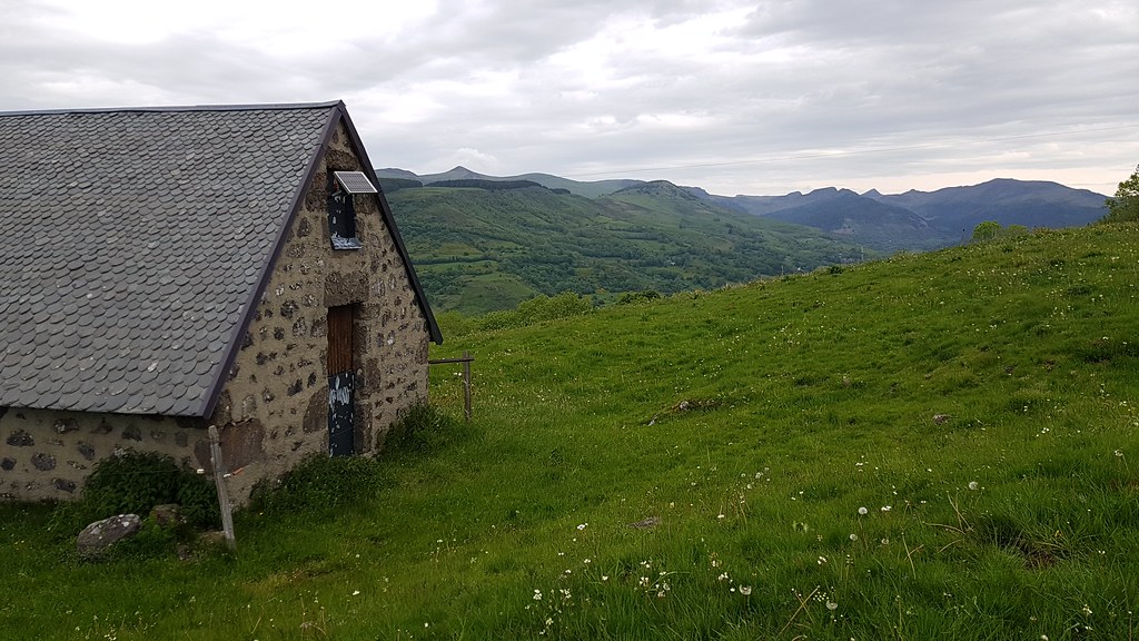
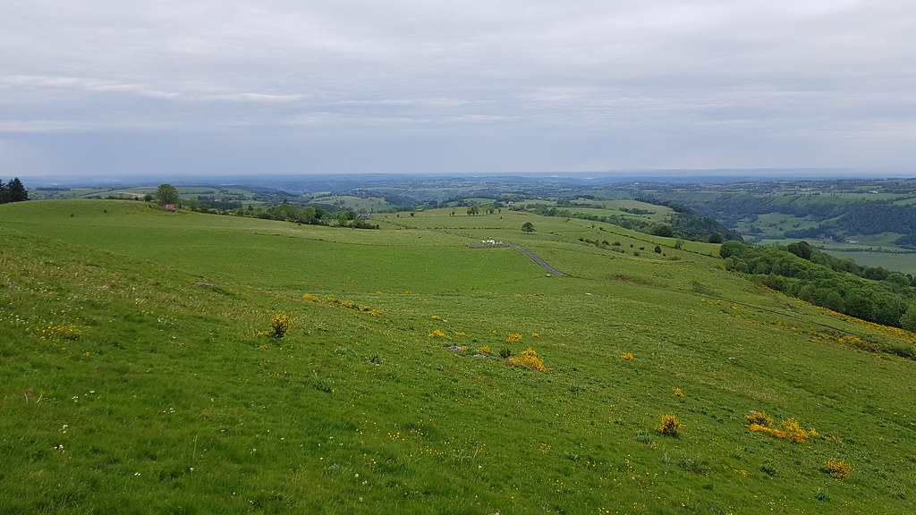
Photo of Sainte-Eulalie
|

Photo of Sainte-Eulalie
|
| |
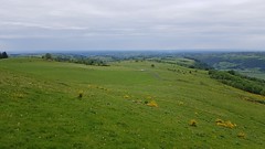
Photo of Sainte-Eulalie
|
Fontanges
|
Sainte-Eulalie from the sky
|
|
Old photos of the town of Sainte-Eulalie
|
These photos taken near the town of Sainte-Eulalie can be shown in full screen clicking on the thumbnails. Photos are copyrighted by their owners.
|
|
Other maps, hotels and towns in france
Find another town, zip code, department, region, ...
Quick links Sainte-Eulalie :
Back to the menus Map of France :
Make a link to this page of Sainte-Eulalie with the following code :
|
|
Map of France | Regions | Departments | Cities | Partners | Terms | Contact
|