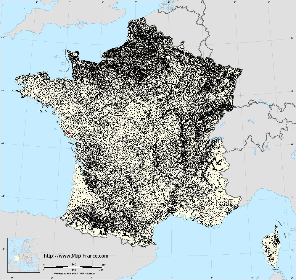
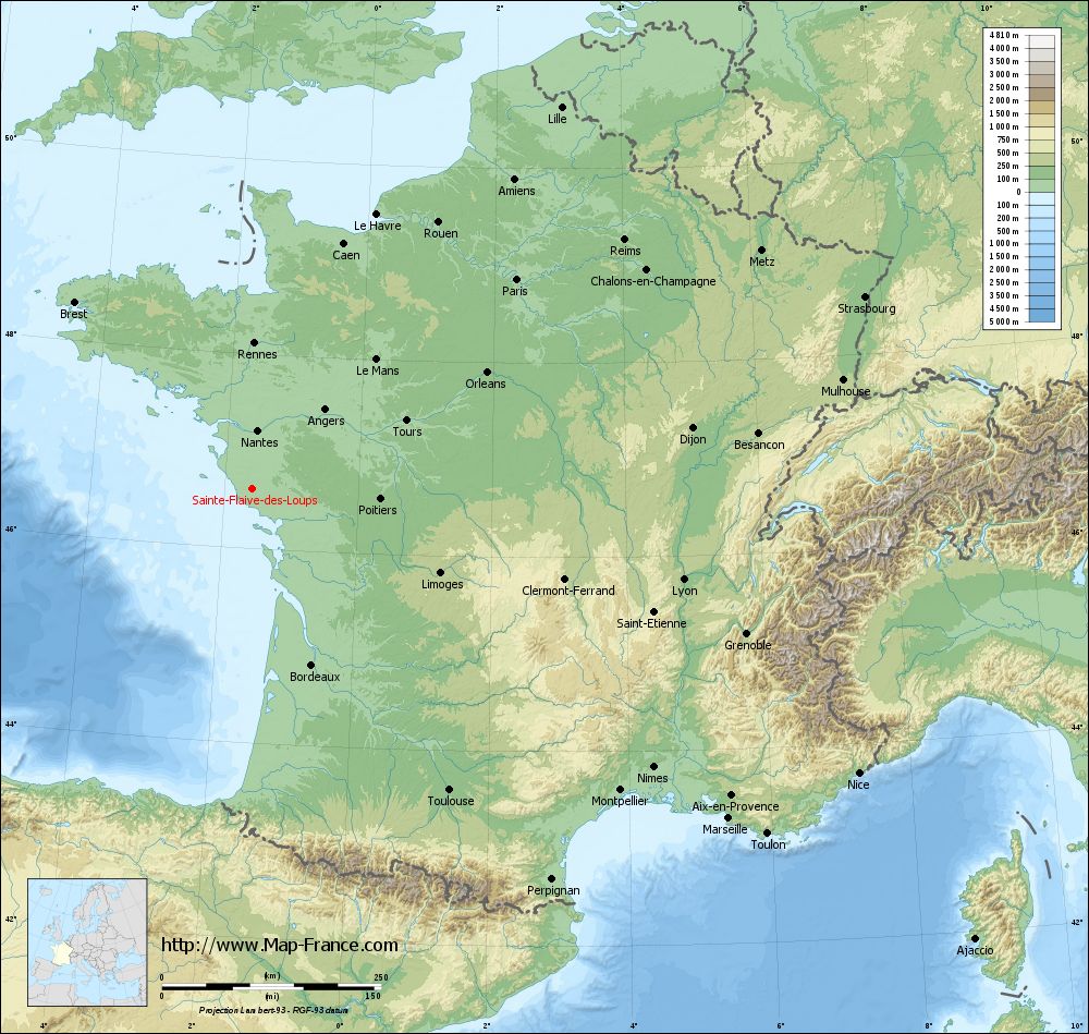
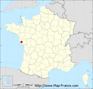
Sainte-Flaive-des-Loups on the relief France map in Lambert 93 coordinates
|
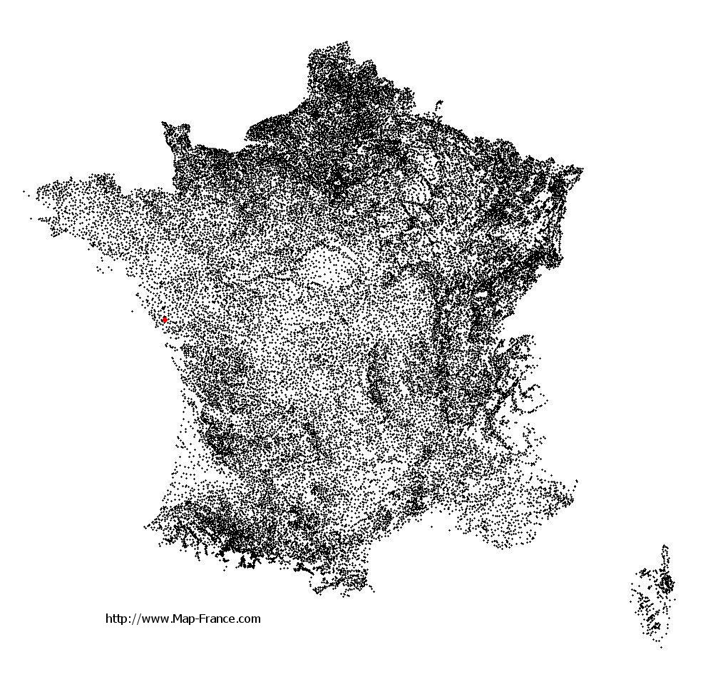
See the map of Sainte-Flaive-des-Loups in full screen (1000 x 949)
|
At left, here is the location of Sainte-Flaive-des-Loups on the relief France map in Lambert 93 coordinates.
Here are the altitudes of Sainte-Flaive-des-Loups :
- Town hall altitude of Sainte-Flaive-des-Loups is 60 meters
- Minimum altitude of Sainte-Flaive-des-Loups is 14 meters
- Maximum altitude of Sainte-Flaive-des-Loups is 77 meters
- Medium altitude of Sainte-Flaive-des-Loups is 46 meters
Here are the altitudes of La Roche-sur-Yon, prefecture of Vendée department:
- Town hall altitude of La Roche-sur-Yon is 50 meters
- Minimum altitude of La Roche-sur-Yon is 32 meters
- Maximum altitude of La Roche-sur-Yon is 94 meters
- Medium altitude of La Roche-sur-Yon is 63 meters
Here are the altitudes of the french biggest cities:
Paris : 33 meters
Marseille : 20 meters
Lyon : 237 meters
Toulouse : 146 meters
Nice : 10 meters
Nantes : 20 meters
Strasbourg : 144 meters
Montpellier : 35 meters
Bordeaux : 16 meters
Lille : 20 meters
Rennes : 35 meters
Reims : 83 meters
Click here for the terrain map of Sainte-Flaive-des-Loups in full screen:
Relief map of Sainte-Flaive-des-Loups
|
This relief map of Sainte-Flaive-des-Loups is reusable and modifiable by making a link to this page of the Map-France.com website or by using the given code :
|
Terrain base map of Sainte-Flaive-des-Loups
|

See the terrain base map of Sainte-Flaive-des-Loups in full screen (1000 x 949)
|
Small relief base map of Sainte-Flaive-des-Loups
|
This base map of Sainte-Flaive-des-Loups is reusable and modifiable by making a link to this page of the Map-France.com website or by using the given code :
|
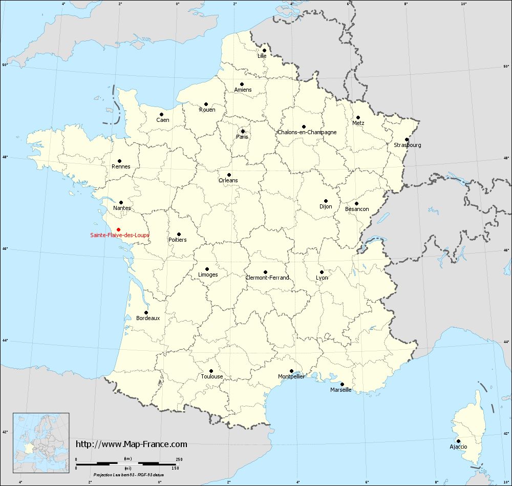
Map of Sainte-Flaive-des-Loups with regions and prefectures
|
View the map of Sainte-Flaive-des-Loups in full screen (1000 x 949)
|
You will find the location of Sainte-Flaive-des-Loups on the map of France of regions in Lambert 93 coordinates. The town of Sainte-Flaive-des-Loups is located in the department of Vendée of the french region Pays de la Loire.
Geographical sexagesimal coordinates / GPS (WGS84):
Latitude: 46° 36' 43'' North
Longitude: 01° 34' 48'' West
Geographical decimal coordinates :
Latitude: 46.612 degrees (46.612° North)
Longitude: -1.579 degrees (1.579° West)
Lambert 93 coordinates :
X: 3 497 hectometers
Y: 66 226 hectometers
Lambert 2 coordinates :
X: 3 001 hectometers
Y: 21 866 hectometers
Below, the geographical coordinates of La Roche-sur-Yon, prefecture of the Vendée department:
Geographical sexagesimal coordinates / GPS (WGS84):
Latitude: 46° 40' 11'' North
Longitude: 01° 25' 40'' West
Geographical decimal coordinates :
Latitude: 46.673 degrees (46.673° North)
Longitude: -1.43 degrees (1.43° West)
Lambert 93 coordinates :
X: 3 617 hectometers
Y: 66 283 hectometers
Lambert 2 coordinates :
X: 3 121 hectometers
Y: 21 924 hectometers
|
This map of Sainte-Flaive-des-Loups is reusable and modifiable by making a link to this page of the Map-France.com website or by using the given code :
|
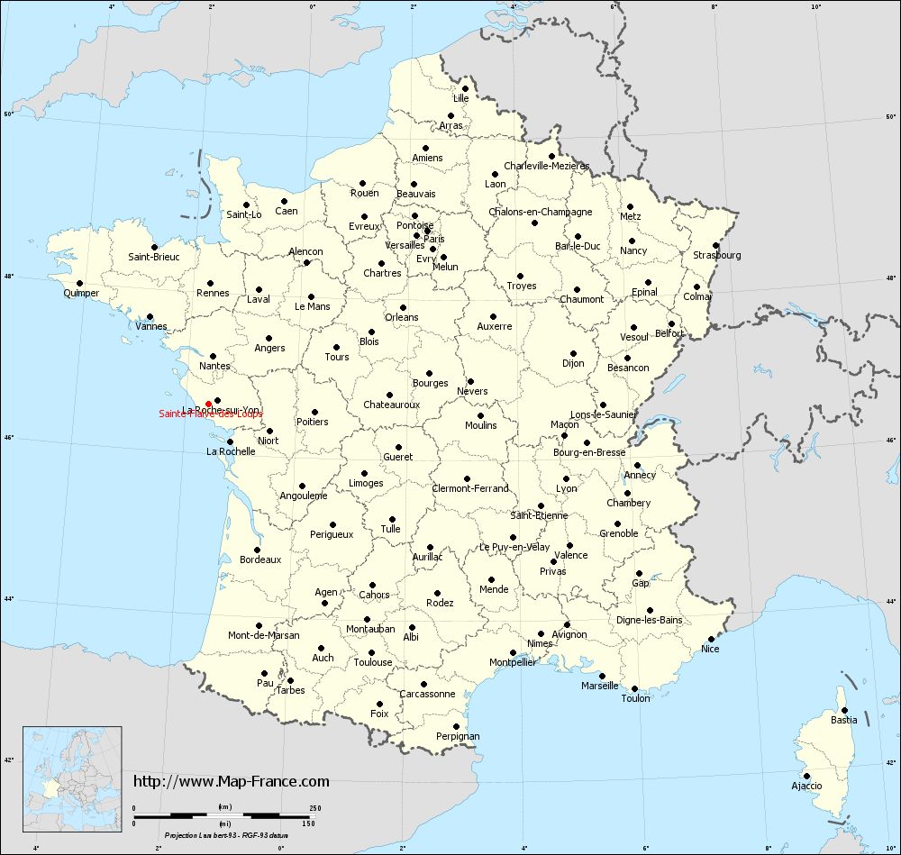
Map of Sainte-Flaive-des-Loups with departments and prefectures
|
Voir la carte of Sainte-Flaive-des-Loups en grand format (1000 x 949)
|
Here is the localization of Sainte-Flaive-des-Loups on the France map of departments in Lambert 93 coordinates. The city of Sainte-Flaive-des-Loups is shown on the map by a red point.
The town of Sainte-Flaive-des-Loups is located in the department of Vendée of the french region Pays de la Loire.
The latitude of Sainte-Flaive-des-Loups is 46.612 degrees North.
The longitude of Sainte-Flaive-des-Loups is 1.579 degrees West.
Here the distance between Sainte-Flaive-des-Loups and the biggest cities of France:
Distances are calculated as the crow flies (orthodromic distance)
Distance between Sainte-Flaive-des-Loups and Paris : 385.19 kilometers
Distance between Sainte-Flaive-des-Loups and Marseille : 660.38 kilometers
Distance between Sainte-Flaive-des-Loups and Lyon : 502.18 kilometers
Distance between Sainte-Flaive-des-Loups and Toulouse : 410.27 kilometers
Distance between Sainte-Flaive-des-Loups and Nice : 763.6 kilometers
Distance between Sainte-Flaive-des-Loups and Nantes : 67.52 kilometers
Distance between Sainte-Flaive-des-Loups and Strasbourg : 732.35 kilometers
Distance between Sainte-Flaive-des-Loups and Montpellier : 542.11 kilometers
Distance between Sainte-Flaive-des-Loups and Bordeaux : 211.35 kilometers
Distance between Sainte-Flaive-des-Loups and Lille : 560.52 kilometers
Distance between Sainte-Flaive-des-Loups and Rennes : 166.4 kilometers
Distance between Sainte-Flaive-des-Loups and Reims : 510.51 kilometers
Clic here to see the map of Sainte-Flaive-des-Loups in full screen:
Sainte-Flaive-des-Loups on the map of french departments
|
This administrative map of Sainte-Flaive-des-Loups is reusable and modifiable by making a link to this page of the Map-France.com website or by using the given code :
|
Administrative base maps of Sainte-Flaive-des-Loups
|

See the administrative base map of Sainte-Flaive-des-Loups in full screen (1000 x 949)
|
Small administrative base map of Sainte-Flaive-des-Loups
|
This base map administrative of Sainte-Flaive-des-Loups is reusable and modifiable by making a link to this page of the Map-France.com website or by using the given code :
|
 French Version : http://www.cartesfrance.fr