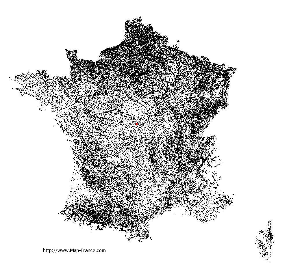
Sainte-Lunaise on the relief France map in Lambert 93 coordinates
|

See the map of Sainte-Lunaise in full screen (1000 x 949)
|
At left, here is the location of Sainte-Lunaise on the relief France map in Lambert 93 coordinates.
Here are the altitudes of Sainte-Lunaise :
- Town hall altitude of Sainte-Lunaise is 170 meters
- Minimum altitude of Sainte-Lunaise is 145 meters
- Maximum altitude of Sainte-Lunaise is 179 meters
- Medium altitude of Sainte-Lunaise is 162 meters
Here are the altitudes of Bourges, prefecture of Cher department:
- Town hall altitude of Bourges is 130 meters
- Minimum altitude of Bourges is 120 meters
- Maximum altitude of Bourges is 169 meters
- Medium altitude of Bourges is 145 meters
Here are the altitudes of the french biggest cities:
Paris : 33 meters
Marseille : 20 meters
Lyon : 237 meters
Toulouse : 146 meters
Nice : 10 meters
Nantes : 20 meters
Strasbourg : 144 meters
Montpellier : 35 meters
Bordeaux : 16 meters
Lille : 20 meters
Rennes : 35 meters
Reims : 83 meters
Click here for the terrain map of Sainte-Lunaise in full screen:
Relief map of Sainte-Lunaise
|
This relief map of Sainte-Lunaise is reusable and modifiable by making a link to this page of the Map-France.com website or by using the given code :
|
Terrain base map of Sainte-Lunaise
|

See the terrain base map of Sainte-Lunaise in full screen (1000 x 949)
|
Small relief base map of Sainte-Lunaise

|
This base map of Sainte-Lunaise is reusable and modifiable by making a link to this page of the Map-France.com website or by using the given code :
|
Map of Sainte-Lunaise with regions and prefectures
|
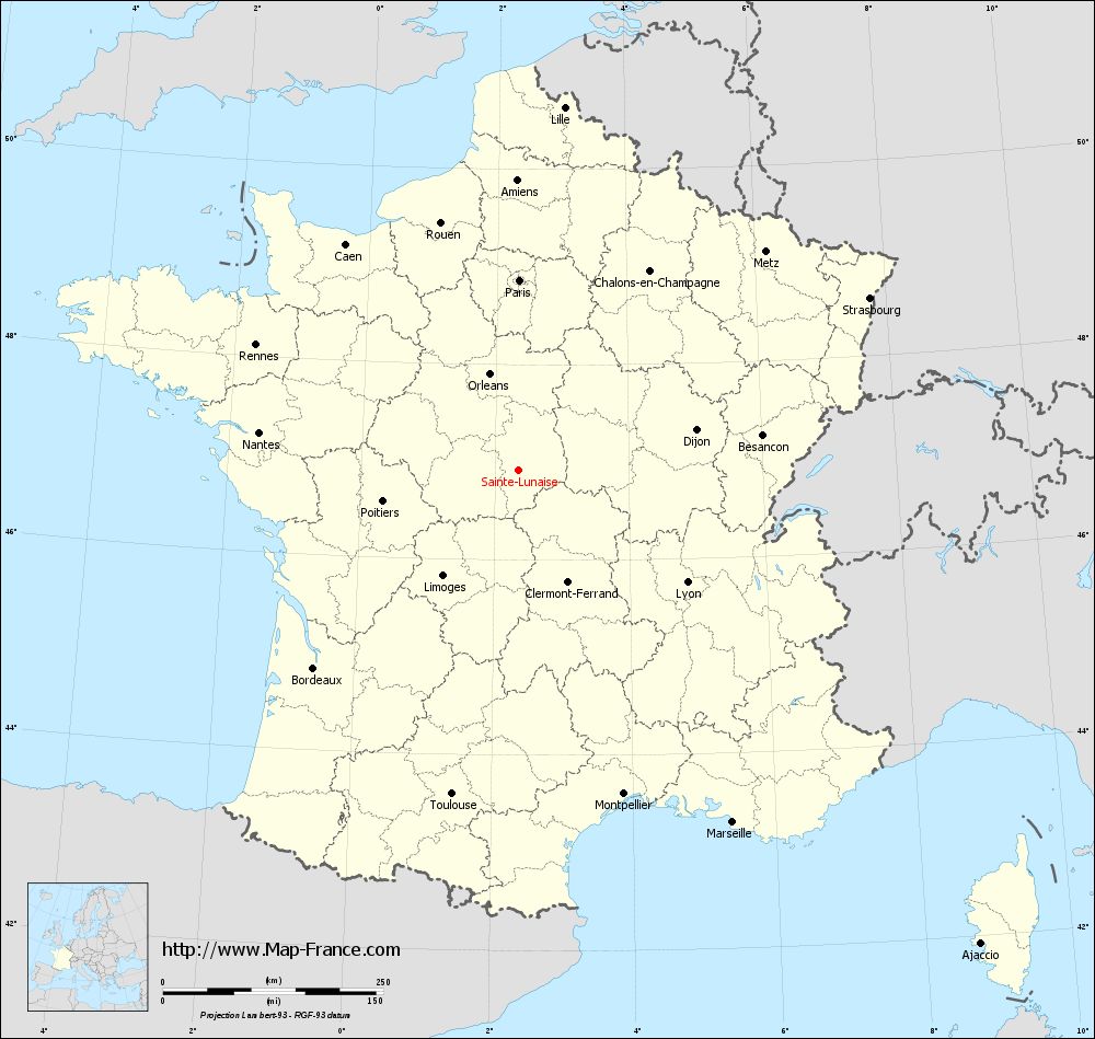
View the map of Sainte-Lunaise in full screen (1000 x 949)
|
You will find the location of Sainte-Lunaise on the map of France of regions in Lambert 93 coordinates. The town of Sainte-Lunaise is located in the department of Cher of the french region Centre.
Geographical sexagesimal coordinates / GPS (WGS84):
Latitude: 46° 55' 14'' North
Longitude: 02° 20' 54'' East
Geographical decimal coordinates :
Latitude: 46.919 degrees (46.919° North)
Longitude: 2.349 degrees (2.349° East)
Lambert 93 coordinates :
X: 6 504 hectometers
Y: 66 469 hectometers
Lambert 2 coordinates :
X: 6 009 hectometers
Y: 22 134 hectometers
Below, the geographical coordinates of Bourges, prefecture of the Cher department:
Geographical sexagesimal coordinates / GPS (WGS84):
Latitude: 47° 05' 01'' North
Longitude: 02° 23' 44'' East
Geographical decimal coordinates :
Latitude: 47.08 degrees (47.08° North)
Longitude: 2.397 degrees (2.397° East)
Lambert 93 coordinates :
X: 6 541 hectometers
Y: 66 650 hectometers
Lambert 2 coordinates :
X: 6 045 hectometers
Y: 22 315 hectometers
|
This map of Sainte-Lunaise is reusable and modifiable by making a link to this page of the Map-France.com website or by using the given code :
|
Map of Sainte-Lunaise with departments and prefectures
|
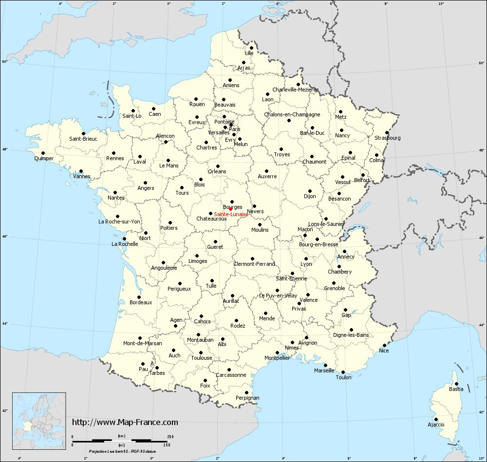
Voir la carte of Sainte-Lunaise en grand format (1000 x 949)
|
Here is the localization of Sainte-Lunaise on the France map of departments in Lambert 93 coordinates. The city of Sainte-Lunaise is shown on the map by a red point.
The town of Sainte-Lunaise is located in the department of Cher of the french region Centre.
The latitude of Sainte-Lunaise is 46.919 degrees North.
The longitude of Sainte-Lunaise is 2.349 degrees East.
Here the distance between Sainte-Lunaise and the biggest cities of France:
Distances are calculated as the crow flies (orthodromic distance)
Distance between Sainte-Lunaise and Paris : 215.79 kilometers
Distance between Sainte-Lunaise and Marseille : 467.99 kilometers
Distance between Sainte-Lunaise and Lyon : 230.06 kilometers
Distance between Sainte-Lunaise and Toulouse : 375.35 kilometers
Distance between Sainte-Lunaise and Nice : 524 kilometers
Distance between Sainte-Lunaise and Nantes : 297.2 kilometers
Distance between Sainte-Lunaise and Strasbourg : 444.16 kilometers
Distance between Sainte-Lunaise and Montpellier : 386.57 kilometers
Distance between Sainte-Lunaise and Bordeaux : 322.95 kilometers
Distance between Sainte-Lunaise and Lille : 415.28 kilometers
Distance between Sainte-Lunaise and Rennes : 329.91 kilometers
Distance between Sainte-Lunaise and Reims : 288.35 kilometers
Clic here to see the map of Sainte-Lunaise in full screen:
Sainte-Lunaise on the map of french departments
|
This administrative map of Sainte-Lunaise is reusable and modifiable by making a link to this page of the Map-France.com website or by using the given code :
|
Administrative base maps of Sainte-Lunaise
|

See the administrative base map of Sainte-Lunaise in full screen (1000 x 949)
|
Small administrative base map of Sainte-Lunaise
|
This base map administrative of Sainte-Lunaise is reusable and modifiable by making a link to this page of the Map-France.com website or by using the given code :
|
 French Version : http://www.cartesfrance.fr